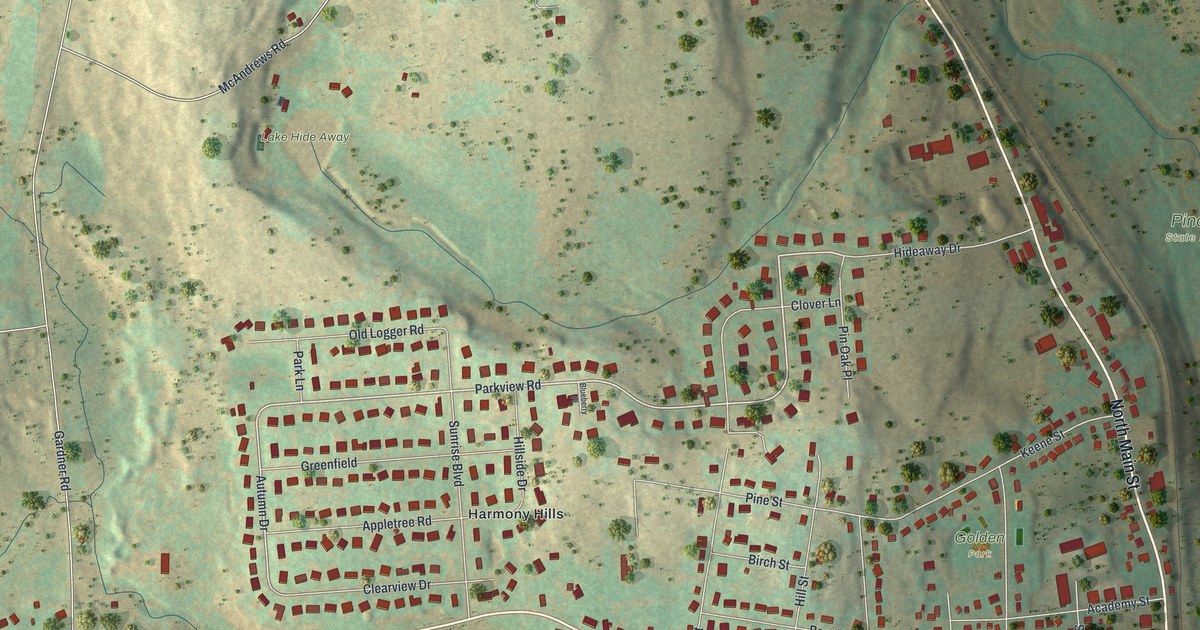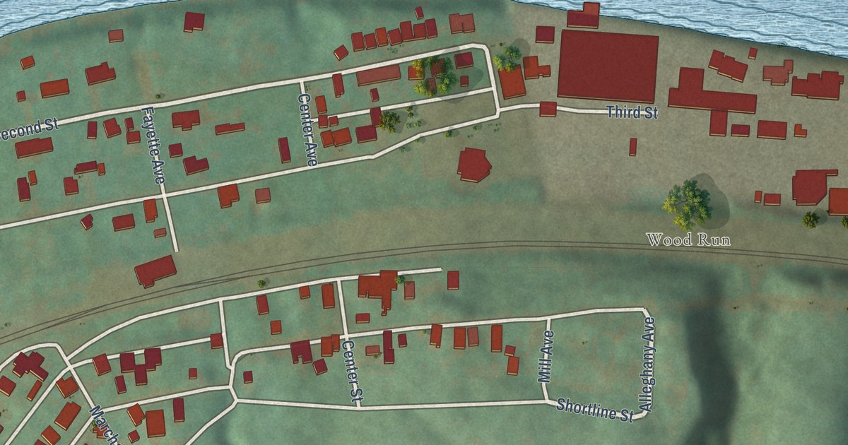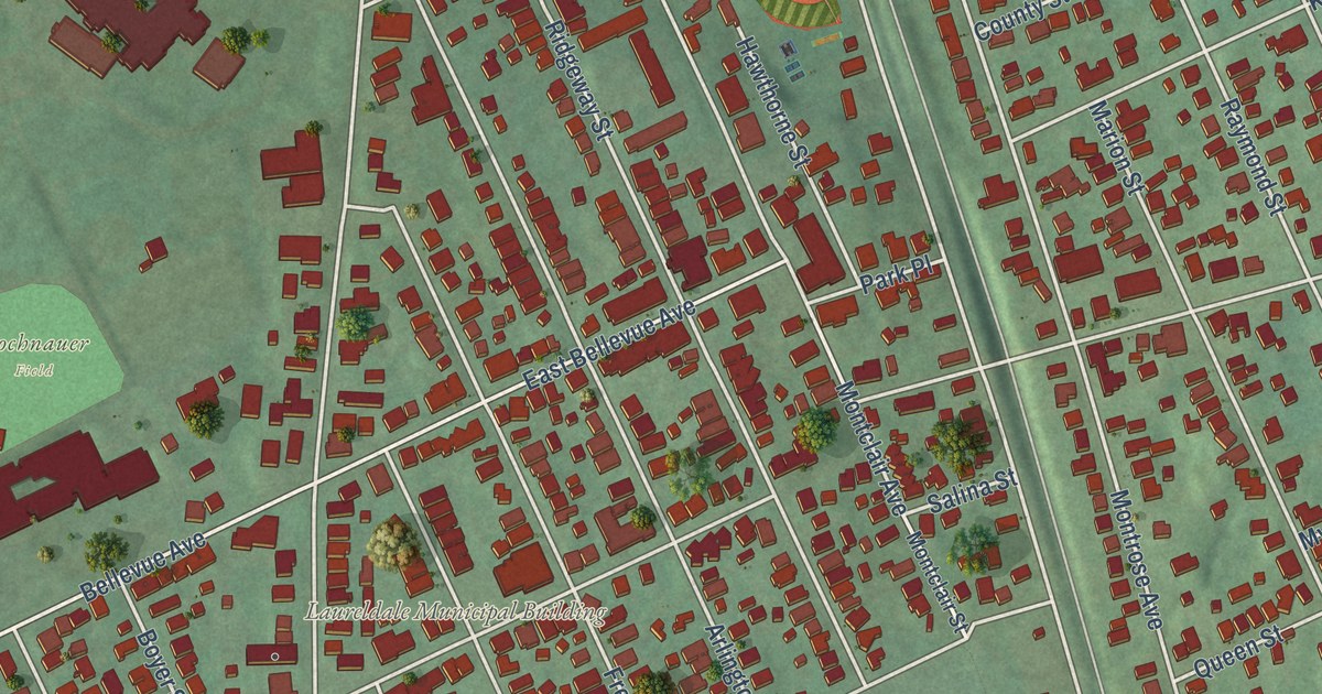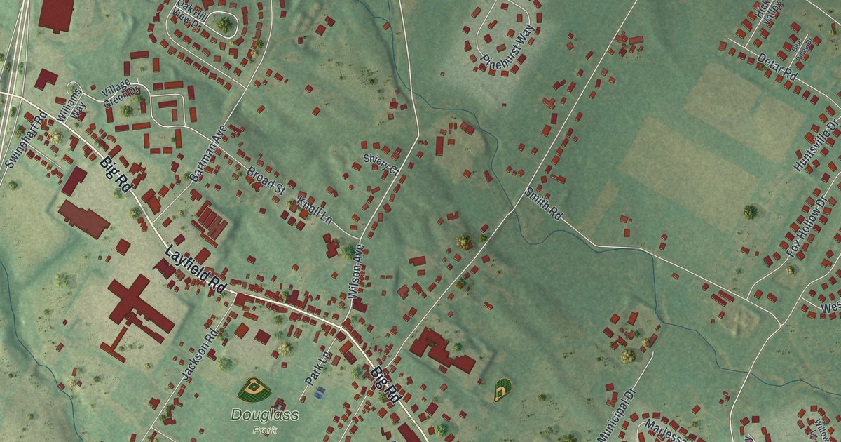
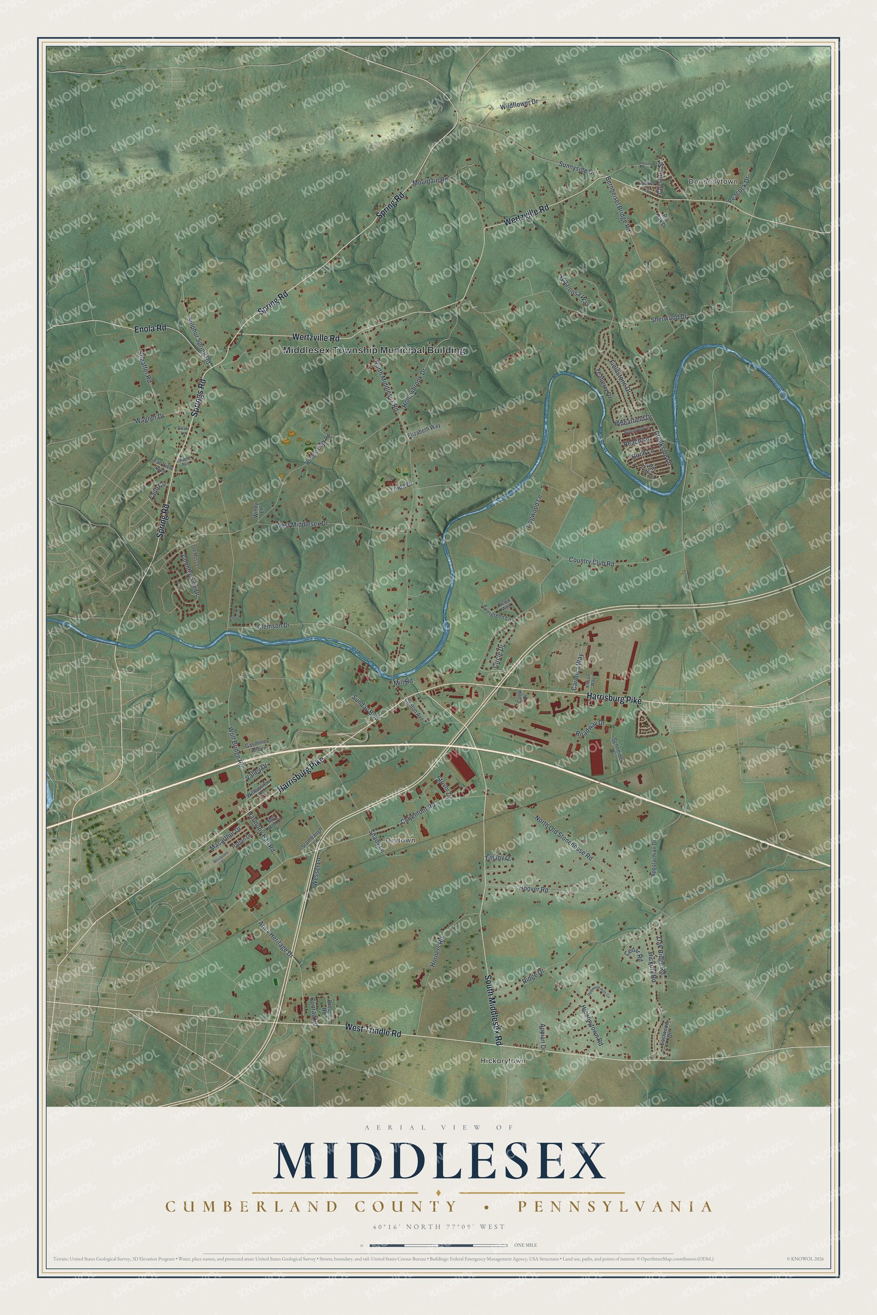
This beautifully detailed map of Middlesex, Cumberland County, Pennsylvania was created in 2026 using aerial imagery combined with modern topographical, census, street and landmark data. It’s a one-of-a-kind view of Middlesex that combines accurate data with a vintage aesthetic. The map shows every building in its true location, many of the roads carry their names, and the shaded topographic relief shows the shape of the land.
Explore an aerial view of Middlesex, Cumberland County, Pennsylvania
On the map you’ll find Middlesex Township Municipal Building, Hickorytown, Donnellytown, and Drytown, along with West Trindle Road, Harrisburg Pike, Wertzville Road, Spring Road, South Middlesex Road, Enola Road, Springs Road, Creekside Lane, and more. If you look closely you can even find your house accurately drawn in its correct location. Zoom in on the preview to look for yours.
Did you know this piece of Middlesex, Cumberland County, Pennsylvania history?
The name Middlesex first belonged to a tract of about 560 acres at the mouth of the Letort Spring. The village built partly on that land took the name. John Chambers Sr., who owned the tract, put up most of its first buildings before 1757, including a grist mill, a sawmill and a distillery. That’s from the 1886 History of Cumberland and Adams Counties, Pennsylvania.
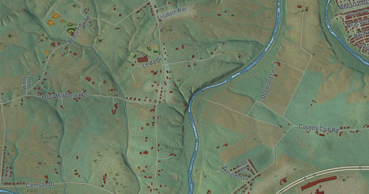
Take a closer look at the Middlesex, Cumberland County map
Street and place names on the Middlesex, Cumberland County, Pennsylvania map
These names are printed on the map of Middlesex, Cumberland County, Pennsylvania.
Places: Middlesex Township Municipal Building, Hickorytown, Donnellytown and Drytown.
Streets and roads: West Trindle Road, Harrisburg Pike, Wertzville Road, Spring Road, South Middlesex Road, Enola Road, Springs Road, Creekside Lane, Hollowbrook Drive, Bernheisel Bridge Road, North Middlesex Road, Wolf Bridge Road.
More street names, A to Z
Allison Way, Appalachian Drive, Appaloosa Way, Appian Drive, Army Heritage Drive, Beagle Club Road, Birch Lane, Buttonwood Lane, Carolina Way, Cedar Road, Chestnut Street, Circle Drive, Claremont Road, Clemson Drive, Clinton Avenue, Conrad Road, Cook Drive, Country Club Road, Country Side Drive, Dogwood Lane, Dusty Lane, Eastwood Drive, Elizabeth Way, Evergreen Lane, Faith Circle, Far View Avenue, Fieldstone Drive, Gasoline Alley, Harmony Hall Road, Hickory Road, Hickorytown Road, Hoover Road, Horners Road, Laurel Lane, Leida Drive, Locust Way, Macarthur Drive, Maple Avenue, Mel Ron Court, Mill Road, Mountain Road, North Old Stonehouse Road, Oak Ridge Road, Old Moss Lane, Patton Drive, Peach Lane, Peacock Drive, Pin Oak Drive, Pin Oak Lane, Prospect Road, Redwood Hills Circle, Ridge Drive, Roadway Drive, Schneider Drive, Shady Lane, Sheaffer Road, Sherwood Drive, Shover Drive, Stambaugh Lane, Stover Drive, Sulphur Spring Road, Sunday Boulevard, Sunnyside Drive, Teaberry Drive, Tiffany Drive, Unname Street, Valley Drive, Wagner Drive, Wessel Lane, West Middlesex Drive, Westpoint Drive, Wheatfield Drive, Wildflower Drive, Willowview Drive, Windy Lane.
See the Middlesex, Cumberland County, Pennsylvania map on a wall
The Middlesex, Cumberland County map as an 18 x 24 inch print in a black frame.

This beautifully detailed map of Middlesex, Cumberland County makes an attractive addition to your office, library, or den, and it can even be used to teach children the geography and history of the area. It also makes a great gift for anyone with Middlesex roots. When you’re done exploring, click here to get your copy of the Middlesex, Cumberland County map.