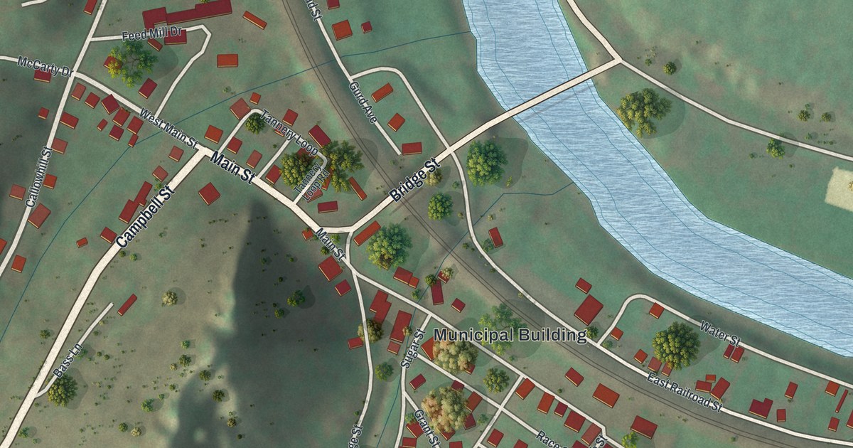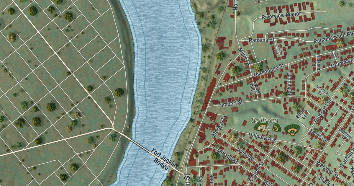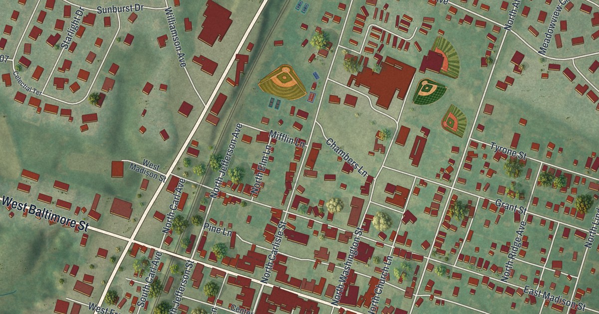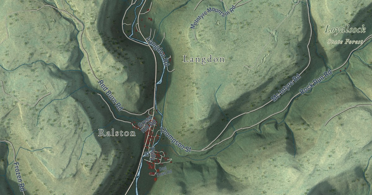
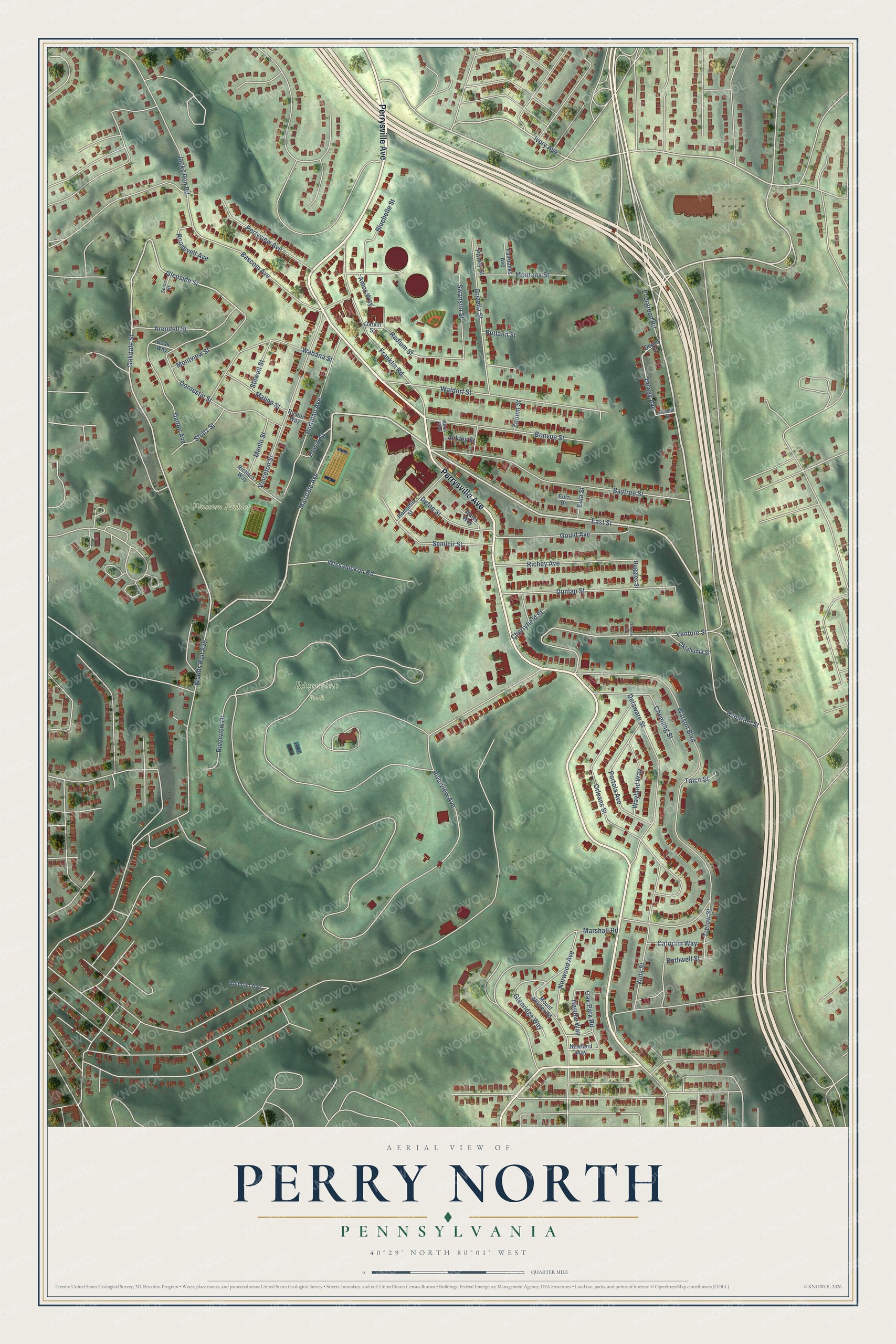
This beautifully detailed map of Perry North, Pennsylvania was created in 2026 using aerial imagery combined with modern topographical, census, street and landmark data. It’s a one-of-a-kind view of Perry North that combines accurate data with a vintage aesthetic. The map shows every building in its true location, many of the roads carry their names, and the shaded topographic relief shows the shape of the land.
Explore an aerial view of Perry North, Pennsylvania
On the map you’ll find Riverview Park and Vinceton Parklet, along with Perrysville Avenue, East Street, Evergreen Road, Mairdale Avenue, Oakdale Street, Venture Street, Glenside Street, Dewey Avenue, Ivory Avenue, Radium Street, and more. If you look closely you can even find your house accurately drawn in its correct location. Zoom in on the preview to look for yours.
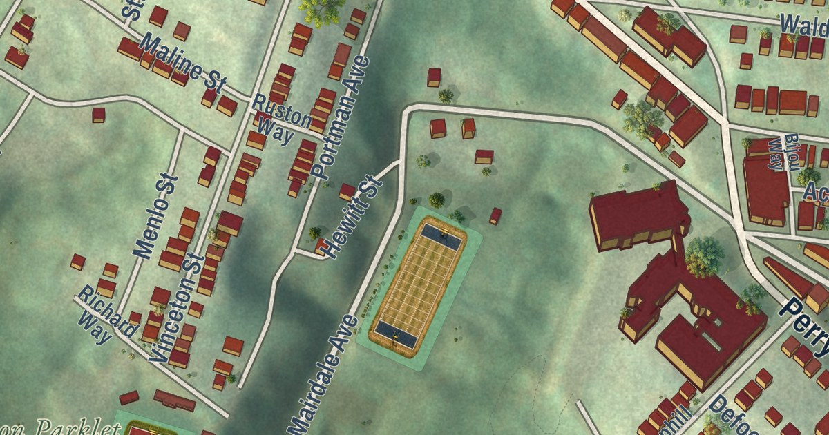
Take a closer look at the Perry North map
Street and place names on the Perry North, Pennsylvania map
These names are printed on the map of Perry North, Pennsylvania.
Places: Riverview Park and Vinceton Parklet.
Streets and roads: Perrysville Avenue, Evergreen Road, East Street, Mairdale Avenue, Oakdale Street, Glenside Street, Ivory Avenue, Venture Street, Dewey Avenue, Radium Street, Oak Park Road, Riverview Avenue.
More street names, A to Z
Ackley Street, Amos Way, Arendell Street, Bascom Avenue, Baytree Street, Bijou Way, Bluebelle Street, Bollman Avenue, Bonvue Street, Bothwell Street, Catoctin Way, Chemung Street, Cherryfield Street, Dalton Avenue, Defoe Street, Delaware Street, Dewey Street, Doak Way, Dornestic Street, Dunlap Street, Eula Drive, Eula Street, Fairbanks Avenue, Franklin Road, Garvin Street, Glenridge Way, Gould Avenue, Gribble Street, Grizella Street, Groyne Street, Harrow Way, Hemphill Street, Hewitt Street, Hyperion Street, Jacks Run Road, Maline Street, Marshall Road, Menlo Street, Montana Street, Montview Street, Mount Allister Road, Newland Way, Norwood Avenue, Oklahoma Street, Orleans Street, Perryview Avenue, Pitney Street, Portman Avenue, Portola Avenue, Richard Way, Richey Avenue, Riverview Drive, Roosevelt Avenue, Ruggles Street, Ruston Way, Rutland Street, Semicir Street, Spice Street, Stilwell Street, Stoltz Street, Swanson Street, Talco Street, Tretow Street, Vinceton Street, Viola Street, Wabana Street, Waldorf Street, Wales Way, Watson Boulevard, Wayland Way, Wissahickon Road, Woods Run Avenue, Zolium Street.
See the Perry North, Pennsylvania map on a wall
The Perry North map as an 18 x 24 inch print in a black frame.

This beautifully detailed map of Perry North makes an attractive addition to your office, library, or den, and it can even be used to teach children the geography and history of the area. It also makes a great gift for anyone who grew up in Perry North or moved away. When you’re done exploring, click here to get your copy of the Perry North map.