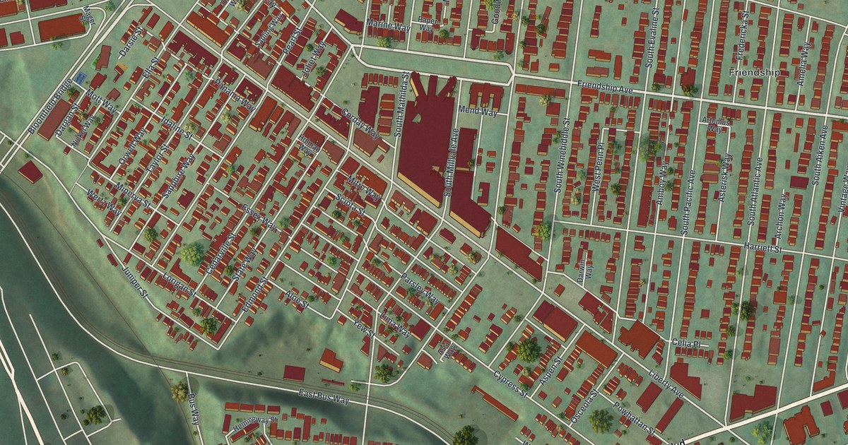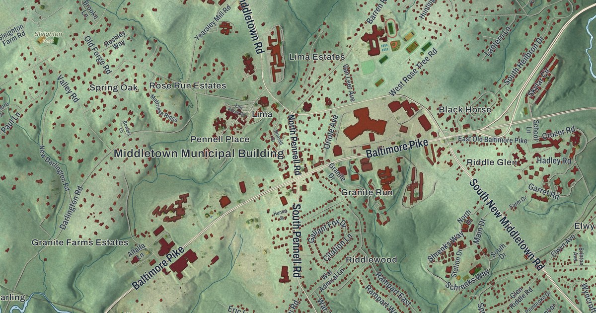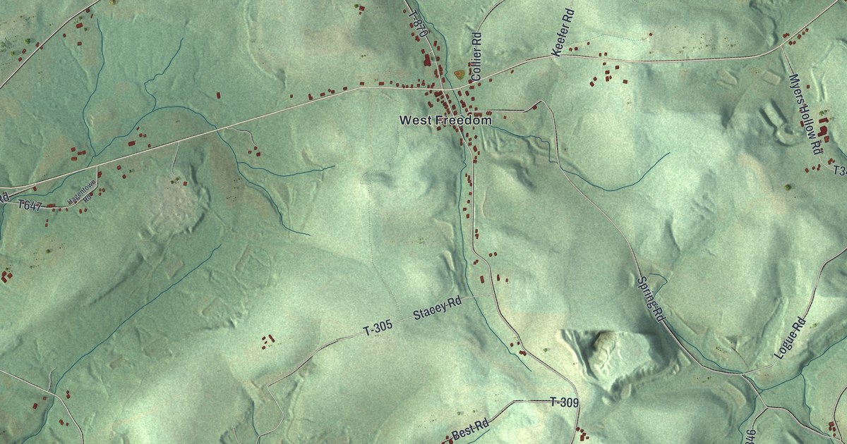
If you grew up in Perry Township, look for your family's road here. This modern aerial view of Perry in Clarion County, Pennsylvania pairs modern data with a vintage feel. Blue rivers bend around green hills. Small red buildings gather at Perryville and West Freedom, with more scattered along the roads.
Perryville and West Freedom on the map
On this map you'll find Perryville, West Freedom, Dutch Hill, West Monterey, Millers Eddy, Perryville Road, Doc Walker Road, Terwilliger Road, Concord Church Road, Lime Plant Road, Black Fox Road, and more. Each red shape is a building, so zoom in on the preview and look for yours.
Perryville, named on this map, once held a growing store of oil. The 1887 History of Clarion County says four or five iron tanks went up there in 1873. By the time of that account, there were about forty. Each could hold about 35,000 barrels. Oil first left by rail, but pipes later carried most shipments. The tanks also helped pay for local needs. The history reports a yearly tax of 150 dollars per tank. That money was split equally among schools, aid for the poor, and roads.
Keep Perryville and Dutch Hill close

Created by KNOWOL in 2026, the print has shaded green hills, blue water, red buildings, and a cream border. The title panel reads AERIAL VIEW OF PERRY, CLARION COUNTY, PENNSYLVANIA, with 41°06' NORTH 79°38' WEST below.
Hang it in a living room, home office, or entryway. It's a gift for someone with family in Perryville or roots in Dutch Hill. Open the preview to look for a familiar road and the homes along it. See sizes and frames for the Perry, Clarion County map.