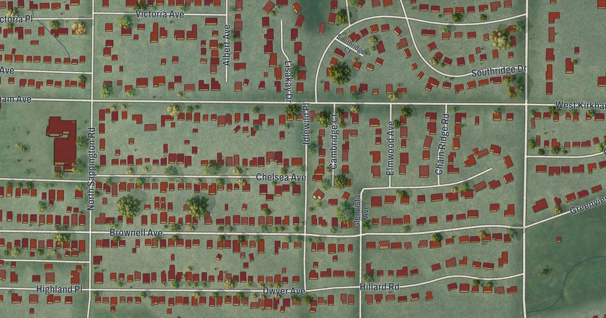
If you grew up in Glendale, look for your old block on this map. It's a modern aerial view made with modern data and a vintage feel, showing Glendale in Missouri's St. Louis County. Red building shapes line the streets, with broad green spaces around Algonquin Golf Club.
North Berry Road and Edwin Avenue
On this map you'll find Manchester Road, North Berry Road, North Sappington Road, West Lockwood Avenue, Kirkham Avenue, Edwin Avenue, Brownell Avenue, East Essex Avenue, Park Avenue, Chelsea Avenue, Algonquin Golf Club, and more. Each red shape is a building, so zoom in on the preview and look for yours.
The historic Ramsay Place Names File places Glendale on the Missouri Pacific Railroad. It describes the town's setting as northwest Carondelet Township. That's an older way to place the town you see here, with its many named streets and rows of homes.
Two of those streets have homes listed on the National Register. The Cori House is at 1080 North Berry Road. The McPherson-Holland House is at 115 Edwin Avenue. Both street names appear on this print. You can look for a familiar block, then take a closer look at the streets around these historic addresses.
Glendale Streets for Your Wall
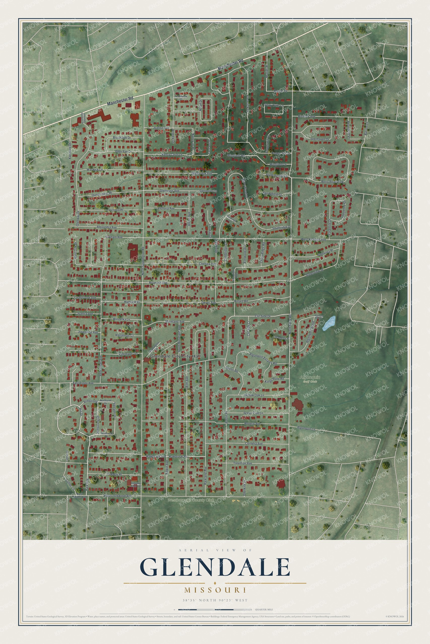
Created by KNOWOL in 2026, this print pairs soft green terrain with red buildings and pale roads. A cream border surrounds the view. The title panel reads AERIAL VIEW OF GLENDALE, MISSOURI, with 38°35' NORTH 90°23' WEST below.
Hang it in a living room, home office, or entryway. It's a thoughtful gift for someone who grew up near North Berry Road or has family in Glendale. Open the preview to find the streets you'd like to keep close. See sizes and frames for the Glendale map.