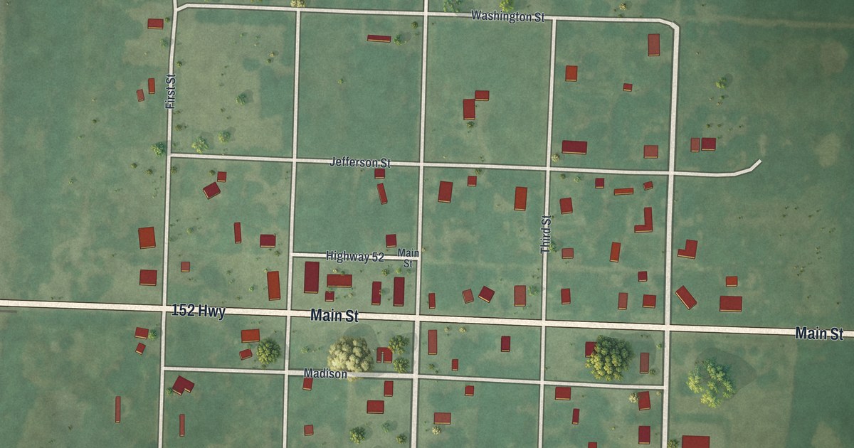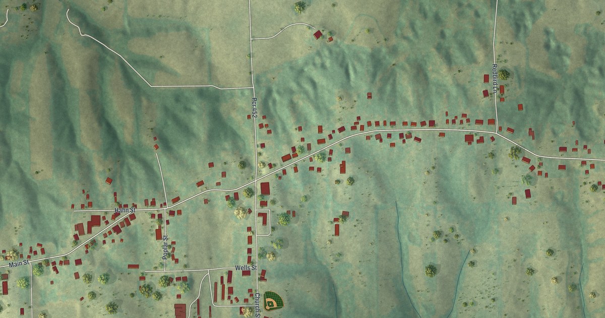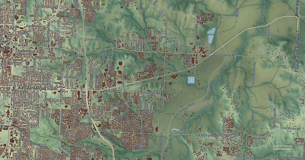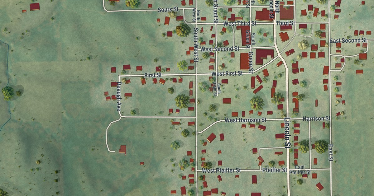
If you grew up in Green City, this print gives you a way to keep home close. It's a modern aerial view of Green City in Sullivan County, Missouri, made with modern data and a vintage feel. Red buildings fill the town's small blocks, with green fields and a blue pond around them.
Green City's church of 1881
On this map you'll find Lincoln Street, East Street, Fourth Street, Green Street, Grant Street, College Street, West Third Street, West Second Street, Harrison Street, Pfeiffer Street, Pershing Street, Neosho Road, and more. Each red shape is a building, so zoom in on the preview and look for yours.
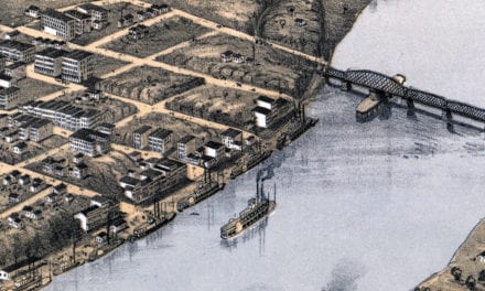
The 1888 county history tells of a local congregation that first held services in a schoolhouse. In 1872, its services moved to Prairie Chapel. By 1881, the group had built a frame church in Green City. It measured about 28 by 46 feet. The church was dedicated that fall.
Another record of the town's church life is the Green City Presbyterian Church. The National Register lists its address as One East Street. You can find East Street by name on this map, among the red buildings and pale roads of town.
Green City, from East Street to the fields
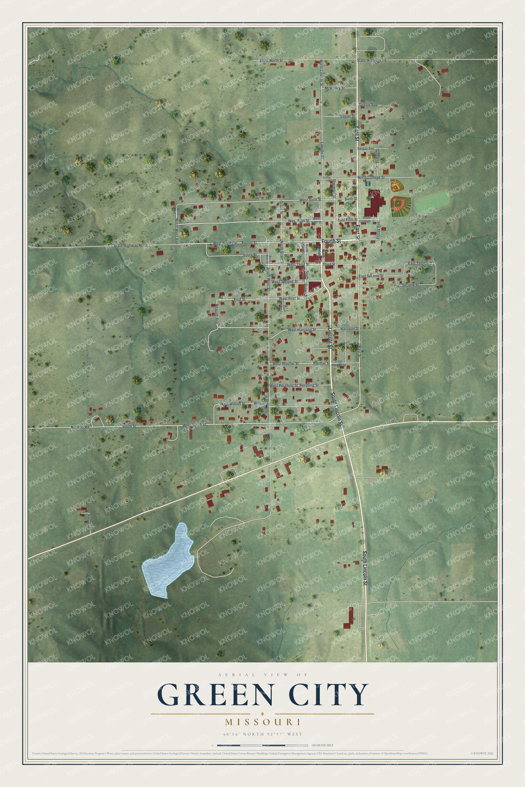
Created by KNOWOL in 2026, this print pairs soft green land with red buildings, pale roads and blue water. A cream border surrounds the view. The title panel reads AERIAL VIEW OF GREEN CITY, MISSOURI, with 40°16' NORTH 92°57' WEST below.
Hang it in a living room, office or entryway. It's a warm gift for someone who grew up near East Street or has family in Green City. Open the preview to look for a familiar block and see the full view. See sizes and frames for the Green City map.