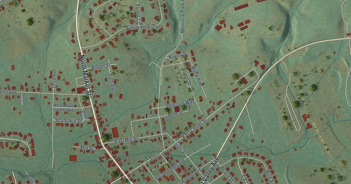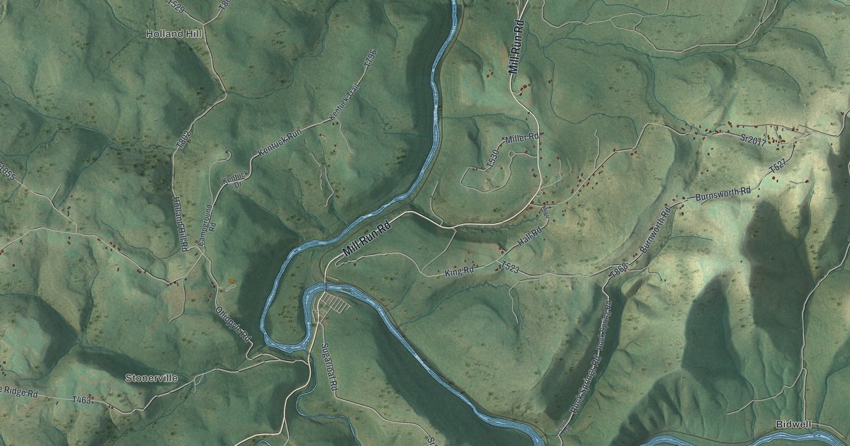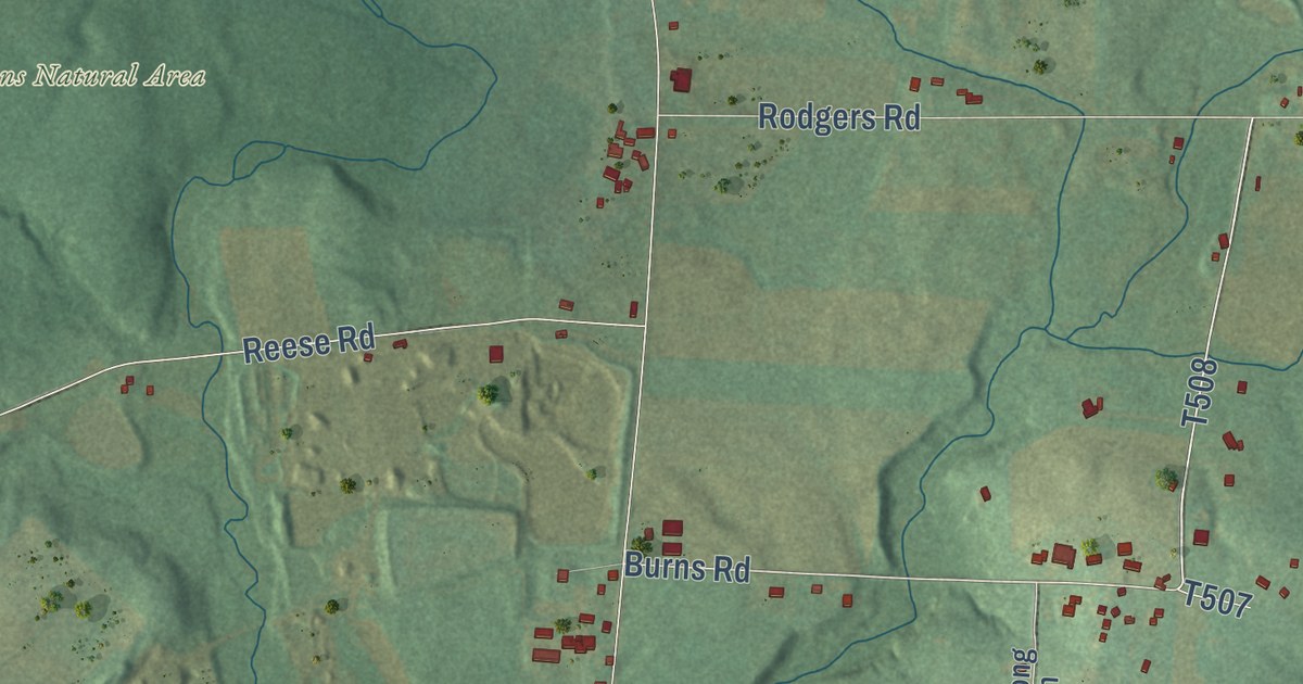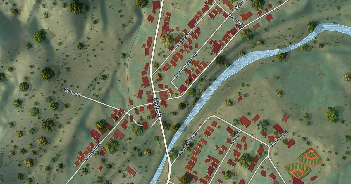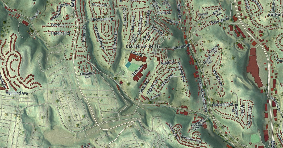
This beautifully detailed map of Ross, Allegheny County, Pennsylvania was created in 2026 using aerial imagery combined with modern topographical, census, street and landmark data. It’s a one-of-a-kind view of Ross that combines accurate data with a vintage aesthetic. The map shows every building in its true location, many of the roads carry their names, and the shaded topographic relief shows the shape of the land.
Explore an aerial view of Ross, Allegheny County, Pennsylvania
On the map you’ll find Highcliff, Bellevue Memorial Park, North Side Cemetery, Shannopin Country Club, West View Cemetery, Berkeley Hills, Evergreen, Keown Station, Laurel Gardens, and Perrysville, along with Perry Highway, Perrysville Avenue, and more. If you look closely you can even find your house accurately drawn in its correct location. Zoom in on the preview to look for yours.
Did you know this piece of Ross, Allegheny County, Pennsylvania history?
From the 1925 Early History of the Fifteenth Ward of the City of Pittsburgh: "The name of the Hon. James Ross is commemorated in the name of Ross Street, Pittsburgh; Ross Township, Allegheny County, Pa.; and Ross County, Ohio."
Take a closer look at the Ross, Allegheny County map
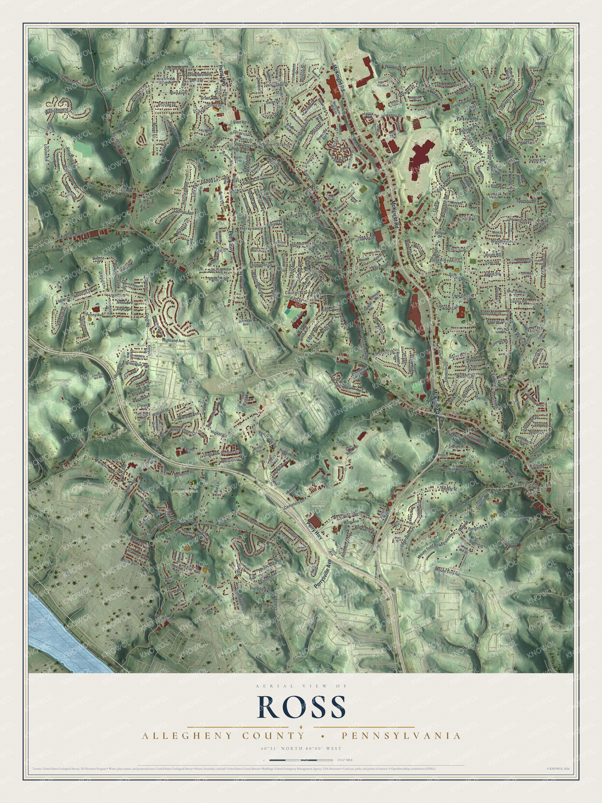
Street and place names on the Ross, Allegheny County, Pennsylvania map
These names are printed on the map of Ross, Allegheny County, Pennsylvania.
Places: Highcliff, Bellevue Memorial Park, North Side Cemetery, Shannopin Country Club, West View Cemetery, Berkeley Hills, Evergreen, Keown Station, Laurel Gardens and Perrysville.
Streets and roads: Perry Highway, Perrysville Avenue, McKnight Road, Babcock Boulevard, Evergreen Road, Peoples Road, Oakdale Street, Center Avenue, Union Avenue, Sunnyhill Drive, Ennerdale Lane, Clarwin Avenue.
More street names, A to Z
Abard Drive, Adele Road, Albine Drive, Allenberry Drive, Ambard Avenue, Ambleside Drive, Amethyst Street, Amherst Avenue, Amity Drive, Aspen Trail, Avila Court, Baker Drive, Barnwood Lane, Bascom Avenue, Bayberry Drive, Beaconview Road, Becker Drive, Beech Avenue, Bellevue Road, Bellpark Drive, Bellwood Drive, Bennington Woods Drive, Benton Avenue, Bepler Avenue, Bernice Street, Berwyn Road, Blaze Drive, Bond Avenue, Braunlich Drive, Brighton Road, Brookmeade Drive, Brookview Lane, Browns Lane, Brunner Drive, Bryn Court, Buckhill Road, Buehner Drive, Burkhart Avenue, Byrlee Drive, Byron Road, Calderwood Avenue, Callender Road, Cardiff Road, Carnation Avenue, Carriage Drive, Carriage Hill Road, Casper Avenue, Cedar Drive, Cemetery Lane, Chapel Drive, Charlemagne Circle, Charterwood Drive, Cherrington Drive, Cherryland Street, Chestnut Avenue, Church Road, Circle Drive, Clearview Avenue, Cliffview Road, Cold Spring Drive, Colwyn Drive, Connie Drive, Corbett Court, Cornell Road, Country Lane, Courtney Mill Road, Cresthaven Lane, Crestvale Road, Crider Hill Road, Criders Lane, Darlington Road, Decker Lane, Deer Road, Denny Park Drive, Derwent Drive, Dixon Drive, Dolphin Drive, Dombey Drive, Donmor Drive, Doray Drive, Doulton Drive, Drexel Lane, Drood Lane, Eakin Avenue, Easley Road, East Orchard Avenue, East West Drive, Eaton Court, Edies Way, Eighth Avenue, Eileen Drive, Elizabeth Lane, Ellwood Drive, Elm Court, Elmer Street, Elm Road, Elm Street, Elrose Drive, Enger Avenue, Englewood Drive, Essex Court, Evergreen Heights Drive, Fern Avenue, Fifth Avenue, Fifth Street, First Avenue, First Street, Forest Avenue, Fourth Avenue, Fox Drive, Fox Hollow Drive, Gadshill Place, Gamble Street, Gass Road, Gaymor Drive, Glenvue Drive, Glenwood Drive, Goldsmith Road, Golf Drive, Good Lane, Graham Road, Grandview Avenue, Grant Avenue, Greenhill Road, Grove Avenue, Hahn Road, Hanway Avenue, Harden Drive, Harding Road, Harvard Avenue, Hawk Drive, Heidcrest Drive, Henderson Road, Hetherton Drive, Hieber Avenue, Highland Avenue, Highland Pines Drive, Hilands Place, Hiland Valley Drive, Hillcrest Avenue, Hillcrest Drive, Hillendale Road, Hilton Drive, Hinkel Road, Hodil Road, Holiday Drive, Holly Hill Drive, Homer Avenue, Horizon Drive, Houston Road, Hudderford Road, Hunter Drive, Idaway Drive, Ilex Drive, Isolda Drive, Ivory Avenue, Ivy Road, Jacks Run Road, Jefferson Drive, Johnanna Drive, John Street, Jude Drive, Kane Lane, Kentzel Road, Kenyon Avenue, King Avenue, Kinross Lane, Kinsdale Drive, Kinvara Court, Kinvara Drive, Kipling Road, Konzier Drive, Laurelwood Drive, Lee Avenue, Lee Avenue Extended, Lee Road, Lenox Oval, Lilac Avenue, Lillian Road, Lily Avenue, Lincoln Avenue, Lindisfarne Drive, Lindley Lane, Lingay Drive, Link Avenue, Locust Drive, Logan Drive, Lombardy Drive, Longmount Avenue, Longvue Drive, Lorlei Lane, Louise Road, Lower Arrowhead Road, Lowries Run Road, Lucerne Avenue, Main Boulevard, Maple Avenue, Maple Road, Marie Drive, Marmion Drive, Martin Road, Maruth Drive, Mary Street, Mary Vue Drive, Mattys Drive, Mayer Drive, Mazer Avenue, McIntyre Road, Mercia Drive, Merwood Drive, Mews Lane, Milbert Lane, Miller Road, Minnock Drive, Monroe Drive, Morelli Drive, Mount Troy Road, Mount Troy Road Extended, Mulkerin Drive, Nazareth Way, Nelson Run Road, Neola Circle, Neola Drive, Nichols Road, Nina Road, Ninth Avenue, Ninth Street, Nocklyn Drive, Northway Mall Drive, Oak Drive, Oak Glen Road, Oak Street, Oesterle Lane, Old English Road, Orchard Drive, Oxbridge Drive, Park Place, Park Plaza Drive, Parkview Road, Pearl Avenue, Penn Drive, Peony Avenue, Peoples Township Road, Perry Lane, Perrysville Road, Pinecrest Drive, Pinehill Drive, Pine Hill Drive, Pinehurst Drive, Pinewood Terrace, Pioneer Avenue, Pittview Road, Point Vue Drive, Poland Avenue, Preston Avenue, Princeton Avenue, Priscilla Avenue, Prospect Drive, Quaill Avenue, Quail Roost Road, Radcliff Drive, Ravenswood Avenue, Rebecca Court, Red Oak Court, Reel Avenue, Reis Run Road, Rene Drive, Renfer Street, Renton Avenue, Richard Drive, Ridge Road, Ridgewood Road, Rifle Club Road, Rochester Road, Rock Ridge Road, Rodenbaugh Avenue, Roderick Drive, Rolling Drive, Rose Avenue, Roseland Avenue, Rossmor Court, Ross Park Drive, Russell Drive, Russell Road, Saint William Place, Sally Ann Drive, Salome Avenue, Sangree Road, Schars Lane, Schlag Court, Schuetzen Park Road, Schwitter Avenue, Second Avenue, Second Street, Second Way, Seventh Street, Seville Avenue, Sewickley Oakmont Road, Shangri Lane, Shannon Drive, Sharbot Drive, Short Street, Siebert Road, Simon Avenue, Sixth Avenue, Sixth Place, Sixth Street, Sloan Court, Smith Drive, Spruce Street, Spruce Valley Drive, Sprucewood Drive, Stevens Drive, Sunderland Drive, Sunflower Avenue, Sunny Drive, Sunset Drive, Sunsetview Drive, Sutter Road, Swan Boulevard, Swan Drive, Sycamore Drive, Sylvania Drive, Sylvia Avenue, Tadmar Avenue, Talley Drive, Tara Drive, Teal Trce, Tenth Avenue, Tenth Street, Third Avenue, Third Street, Thompson Drive, Thompson Run Road, Thornberry Drive, Three Degree Road, Tillotson Circle, Timberlane Drive, Towers Terrace, Tower Terrace, Transvaal Avenue, Trion Road, Tristan Drive, Twin Oaks Drive, Tyler Road, Valley Drive, Valley Hi Drive, Valleyvale Drive, Valleyvue Drive, Van Fleet Circle, Varney Street, Vassar Avenue, Violet Street, Waldwick Drive, Wallingford Drive, Wally Drive, Wanker Drive, Washington Boulevard, Washington Drive, Wedgewood Drive, Wescott Drive, Westminster Drive, West View Avenue, White Oak Drive, Wick Drive, William Street, Willow Drive, Wilson Way, Wimer Circle, Wimer Drive, Winslow Drive, Winter Avenue, Woodbridge Drive, Wood Drive, Woodhaven Lane, Woodland Road, Yale Avenue, York Drive, Zane Place, Zug Avenue.
See the Ross, Allegheny County, Pennsylvania map on a wall
The Ross, Allegheny County map as an 18 x 24 inch print in a black frame.

This beautifully detailed map of Ross, Allegheny County makes an attractive addition to your office, library, or den, and it can even be used to teach children the geography and history of the area. It also makes a great gift for anyone who grew up in Ross or moved away. When you’re done exploring, click here to get your copy of the Ross, Allegheny County map.