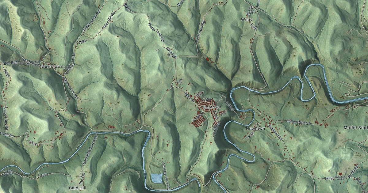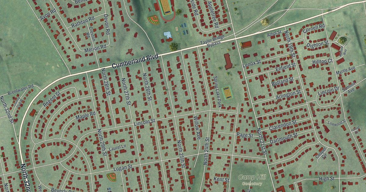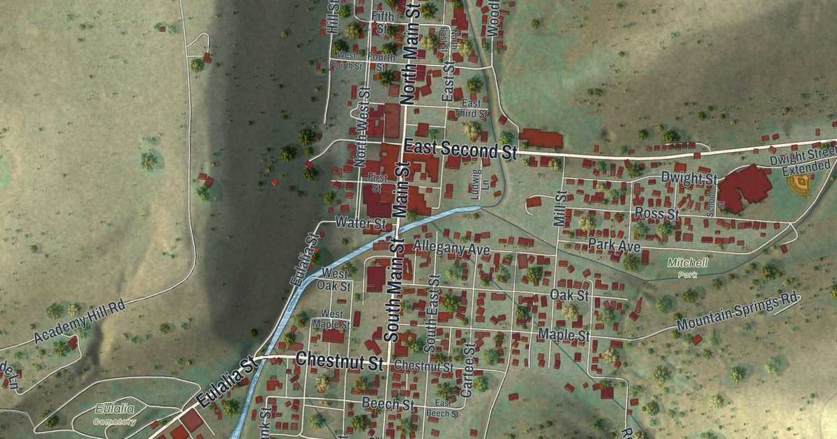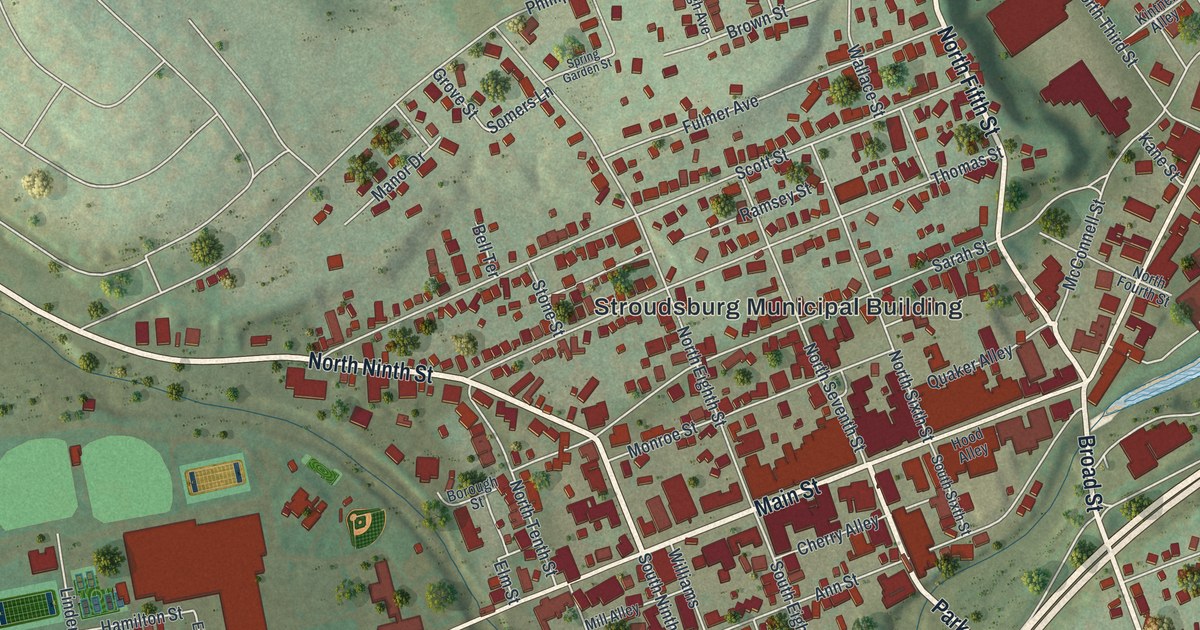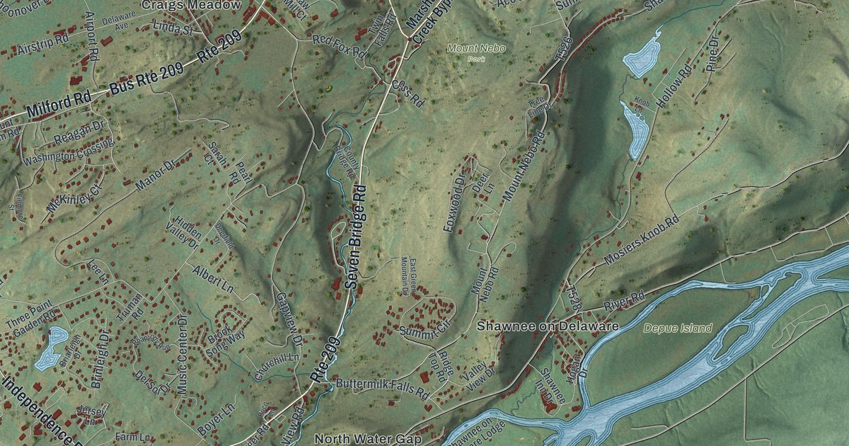
If you grew up near Marshalls Creek, or you still drive River Road to Shawnee on Delaware, this map is a piece of home. It's a modern aerial view of Smithfield Township in Monroe County, Pennsylvania, built from modern data and finished with a vintage feel. A wide blue river curves through the middle, with long islands near Shawnee on Delaware. Small red buildings gather along Milford Road around Craigs Meadow and Marshalls Creek. A long green ridge fills the lower right, and Delaware Water Gap National Recreation Area is printed along the river.
From Marshalls Creek to Minisink Hills
On this map you'll find Milford Road, River Road, Seven Bridge Road, Shawnee Valley Road, Buttermilk Falls Road, Resica Falls Road, Craigs Meadow Road, Marshalls Creek Road, Mount Nebo Road, Shawnee Inn Drive, Mount Nebo, Depue Island, North Water Gap, Minisink Hills, and more. Each red shape is a building, so zoom in on the preview and look for yours.
Nicholas Depuy and the First Farm at Shawnee
Shawnee on Delaware holds one of the oldest stories in Monroe County. A state historical marker there names Nicholas Depuy as the first known settler in the region. He came in 1727. A plaque at River Road and Hollow Road tells more. It says he bought 3,000 acres from the Minsi Indians. The land took in two river islands, the Island of Shawno and Manwalamink. His grandparents were Huguenot refugees from France. They reached New Amsterdam in 1662. Hard years came later. After 1755, his home was fenced in and held by soldiers. It became Fort Depuy during the French and Indian War. In 1750, five acres went to Depuy and others for a Dutch Reformed church. Today that church is the Presbyterian Church. On the map, find Shawnee on Delaware by the river, with Depue Island printed just off its shore.
Old Campfires Near Minisink Hills
People lived by this river long before Depuy. Near Minisink Hills, a creek flows into the Delaware River. A marker at River's Edge Park says the Shawnee-Minisink site there is nearly 13,000 years old. It's one of the earliest dated Native American sites in the northeastern US. Researchers found hundreds of stone tools left around several old campfires. They also found traces of fish and fruit. So the people who camped here ate more kinds of food than experts expected for the late Ice Age.
Keep Shawnee on Delaware and Marshalls Creek Close
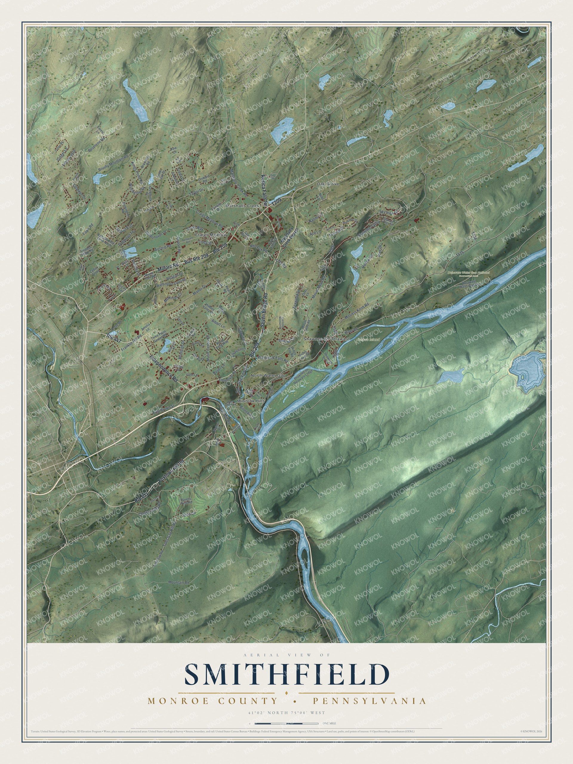
Created by KNOWOL in 2026, this print shows Smithfield in soft greens and blues, with shaded hills, a pale blue river and small red buildings. The title panel reads "Aerial View of Smithfield" over "Monroe County • Pennsylvania," with the coordinates 41°02' North 75°08' West.
It fits a living room, a front hall or a cabin den. It's a good gift for someone who grew up near Shawnee on Delaware, or for a friend who moved away from Marshalls Creek. Open the preview and look for your road. See sizes and frames for the Smithfield, Monroe County map.