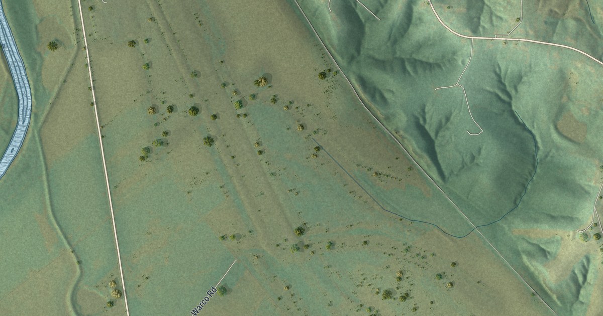
If you grew up near Three Creeks or still drive Warco Road, this map was made with you in mind. It's a new aerial view of Three Creeks in Warren County, Missouri, built from modern data and given a vintage look. It shows the wide open fields around the village, the wooded hills to the right, and a broad blue river in the lower left corner.
Three Creeks Village in Warren County
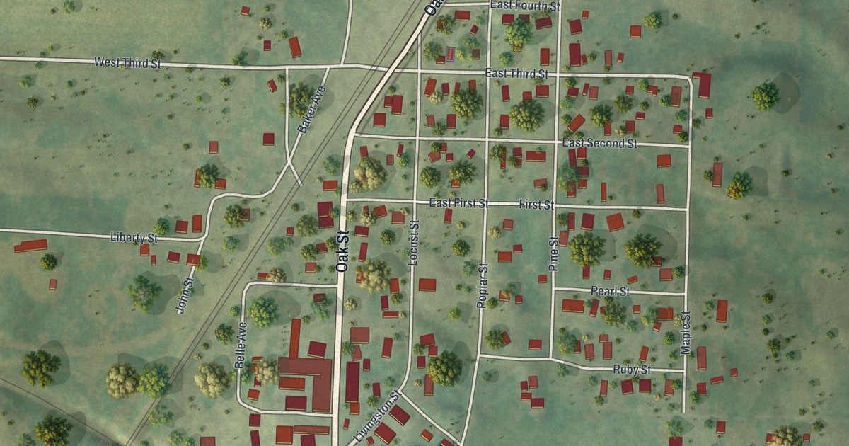
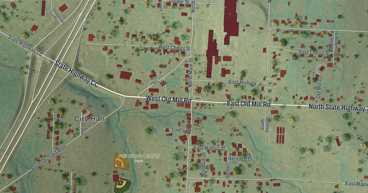
On this map you'll find Warco Road, Three Creeks Village, and more. Each red shape is a building, so zoom in on the preview and look for yours.
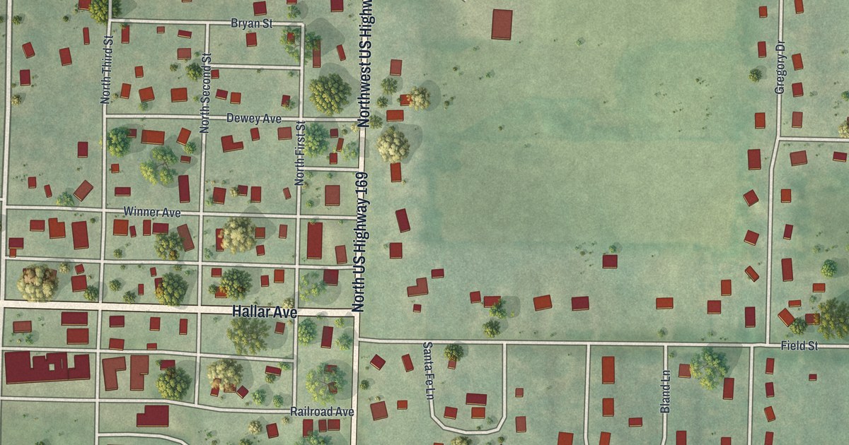
Three Creeks is a village in Warren County. The 2020 Census counted 8 people living there. The land around the village fills the whole sheet. Long green fields cover most of the map. A straight line runs down the middle and meets a bridge over the river at the bottom.
The Creeks and Hills Around Warco Road
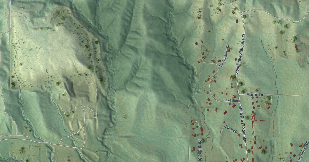
On the left side, thin blue creek channels split apart and join again before they reach the river. To the right, the ground climbs into steep wooded hills. The shading brings out each ridge and hollow, so the hills seem to rise off the paper. A small group of red buildings sits among those hills. More red shapes dot the fields near Three Creeks Village. Across the river, in the lower left corner, a tight grid of small streets fills the edge of the sheet.
A Map of Three Creeks and Warco Road
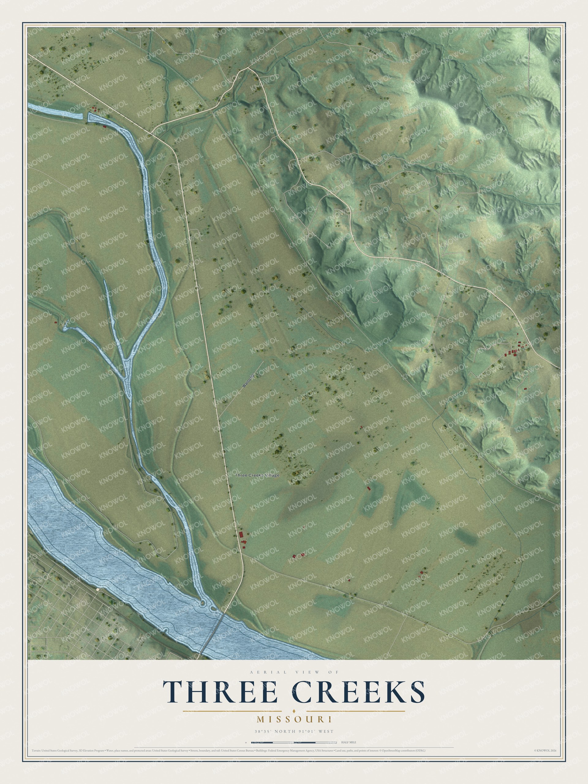
Created by KNOWOL in 2026, the print uses soft greens for the fields and hills, pale blue for the water, and small red shapes for buildings. The title panel reads "Aerial View of Three Creeks, Missouri" with the coordinates 38°35' North 91°01' West.
It fits a farmhouse kitchen, a den or a home office. It's a good gift for a neighbor on Warco Road, or for someone who moved away and still thinks about these fields and hills. Open the preview and find the spot you know. See sizes and frames for the Three Creeks map.