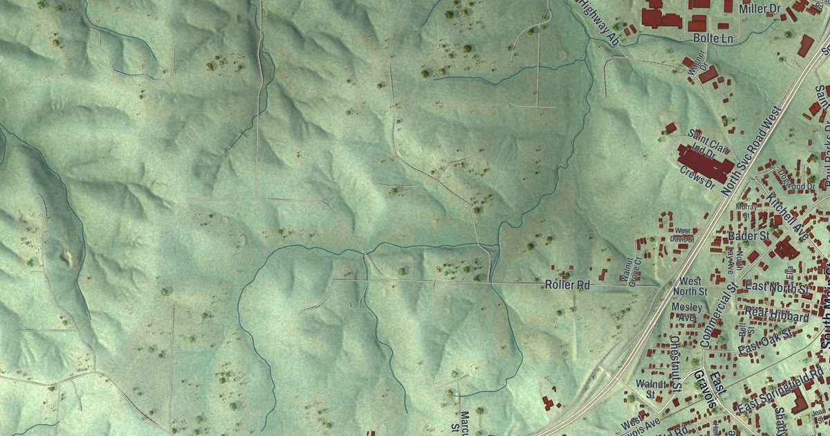
If you grew up near Main Street or still have family in town, this map shows the home you know. This modern aerial view, made from modern data with a vintage feel, shows St. Clair in Franklin County, Missouri. The town's red buildings gather on the right side of the sheet. Green, shaded hills roll out on every side. A river curls across the top left corner, and small blue lakes sit in the hills south of town. A wide highway crosses the whole sheet on a long diagonal.
Streets you'll find on the St. Clair map
On this map you'll find North Main Street, South Main Street, East Gravois Avenue, West Gravois Avenue, Old State Highway 66, Commercial Street, Park Avenue, Kitchell Avenue, Virginia Mines Road, East Springfield Road, School Drive, Hickory Street, Chestnut Street, Paul Parks Drive, and more. Each red shape is a building, so zoom in on the preview and look for yours.
The inn called Traveler's Repose
The State Historical Society of Missouri keeps an old story about this spot. It starts with a wayside inn, a place where people on the road could stop and rest. The inn had a catchy name: Traveler's Repose. Some records spell it Travellers Repose. On July 8, 1843, a post office opened here under that same name. The story comes from the Ramsay Place Names File, collected between 1928 and 1945. Travelers still pass through today. Look for the wide highway that sweeps across the sheet on its long diagonal.
Two historic buildings near North Main Street
Two buildings in town are on the National Register of Historic Places. The International Shoe Company Building is at 160 North Main Street. It was listed in 1994. The Panhorst Feed Store, at 465 St. Clair Street, was listed in 1990. North Main Street is printed on the map, so the heart of downtown is easy to find.
Keep North Main Street close to home
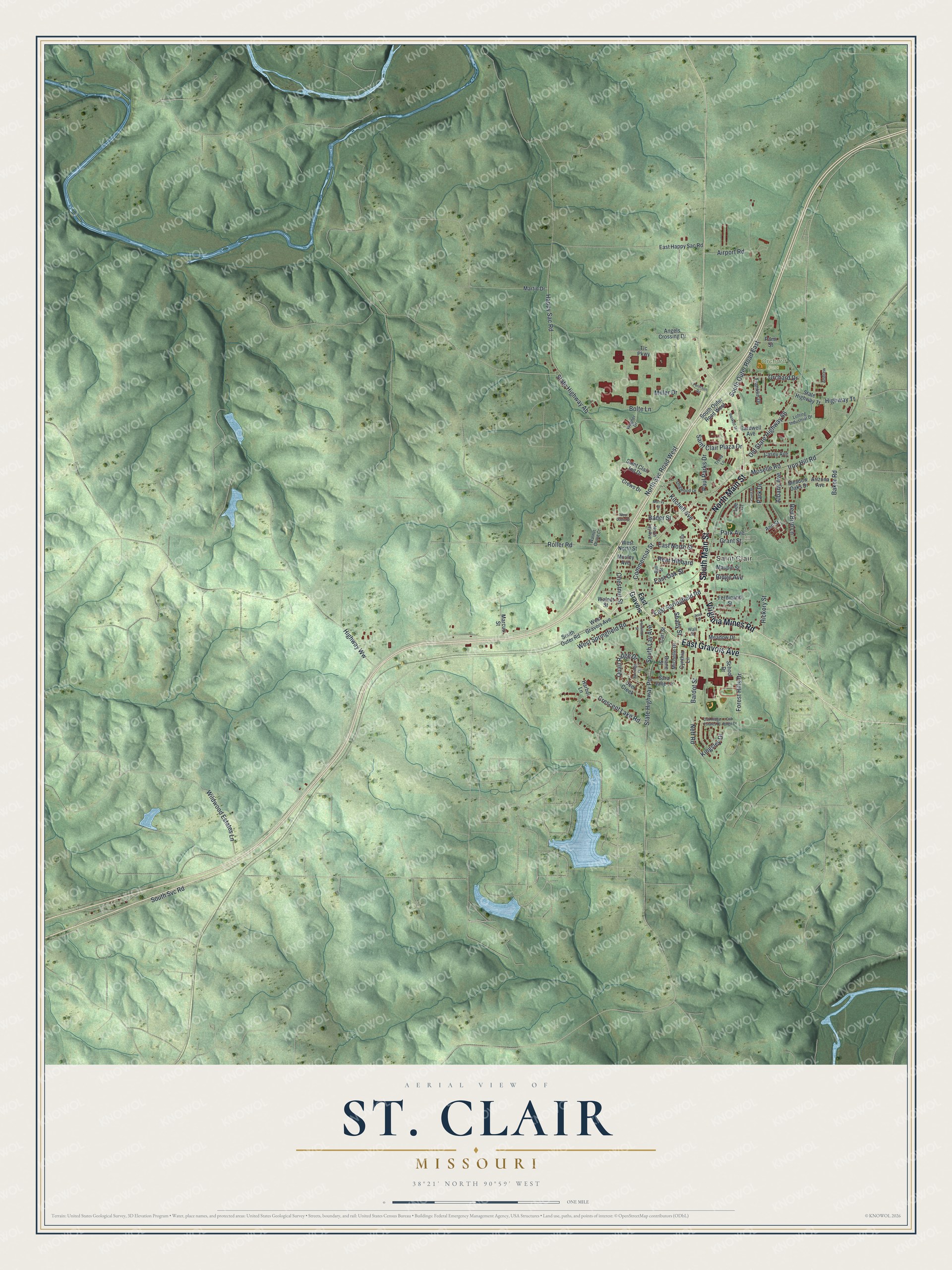
Created by KNOWOL in 2026. The print shows the hills around St. Clair in soft green with shaded ridges, water in pale blue, and buildings in deep red. The title panel at the bottom reads "Aerial View of St. Clair, Missouri" with the coordinates 38°21' North 90°59' West.
It fits a living room, a hallway, a kitchen or an office. It's a good gift for someone who grew up near North Main Street, or for anyone who moved away from Franklin County and still calls St. Clair home. Open the preview and find your street. See sizes and frames for the St. Clair map.