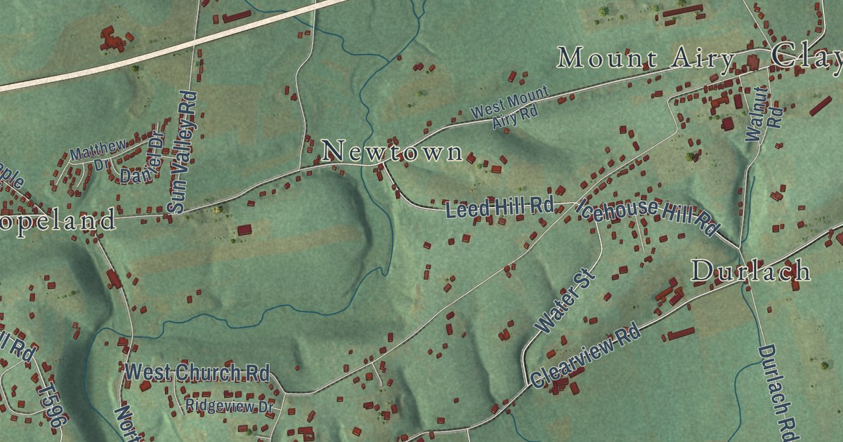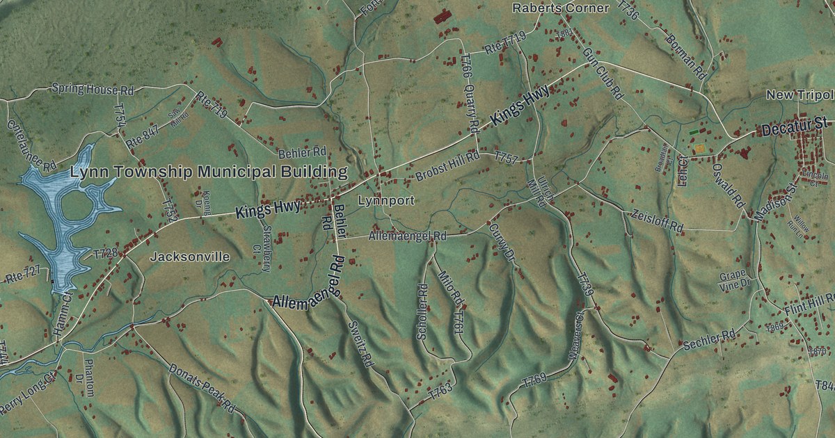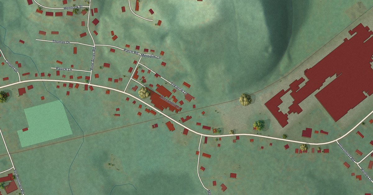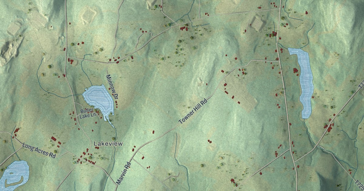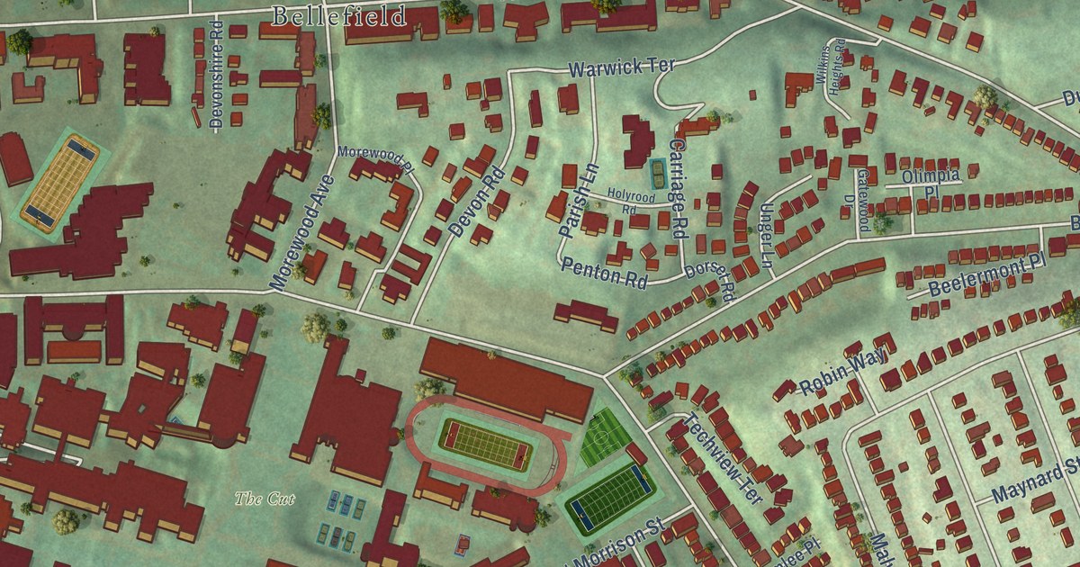
This beautifully detailed map of Squirrel Hill North, Pennsylvania was created in 2026 using aerial imagery combined with modern topographical, census, street and landmark data. It’s a one-of-a-kind view of Squirrel Hill North that combines accurate data with a vintage aesthetic. The map shows every building in its true location, many of the roads carry their names, and the shaded topographic relief shows the shape of the land.
Explore an aerial view of Squirrel Hill North, Pennsylvania
On the map you’ll find Bob O’Connor Golf Course, Smithfield Cemetery, The Cut, Wightman Park, Bellefield, and Squirrel Hill, along with Wilkins Avenue, Fifth Avenue, Schenley Road, Penton Road, Northumberland Street, Aylesboro Avenue, and more. If you look closely you can even find your house accurately drawn in its correct location. Zoom in on the preview to look for yours.
Take a closer look at the Squirrel Hill North map
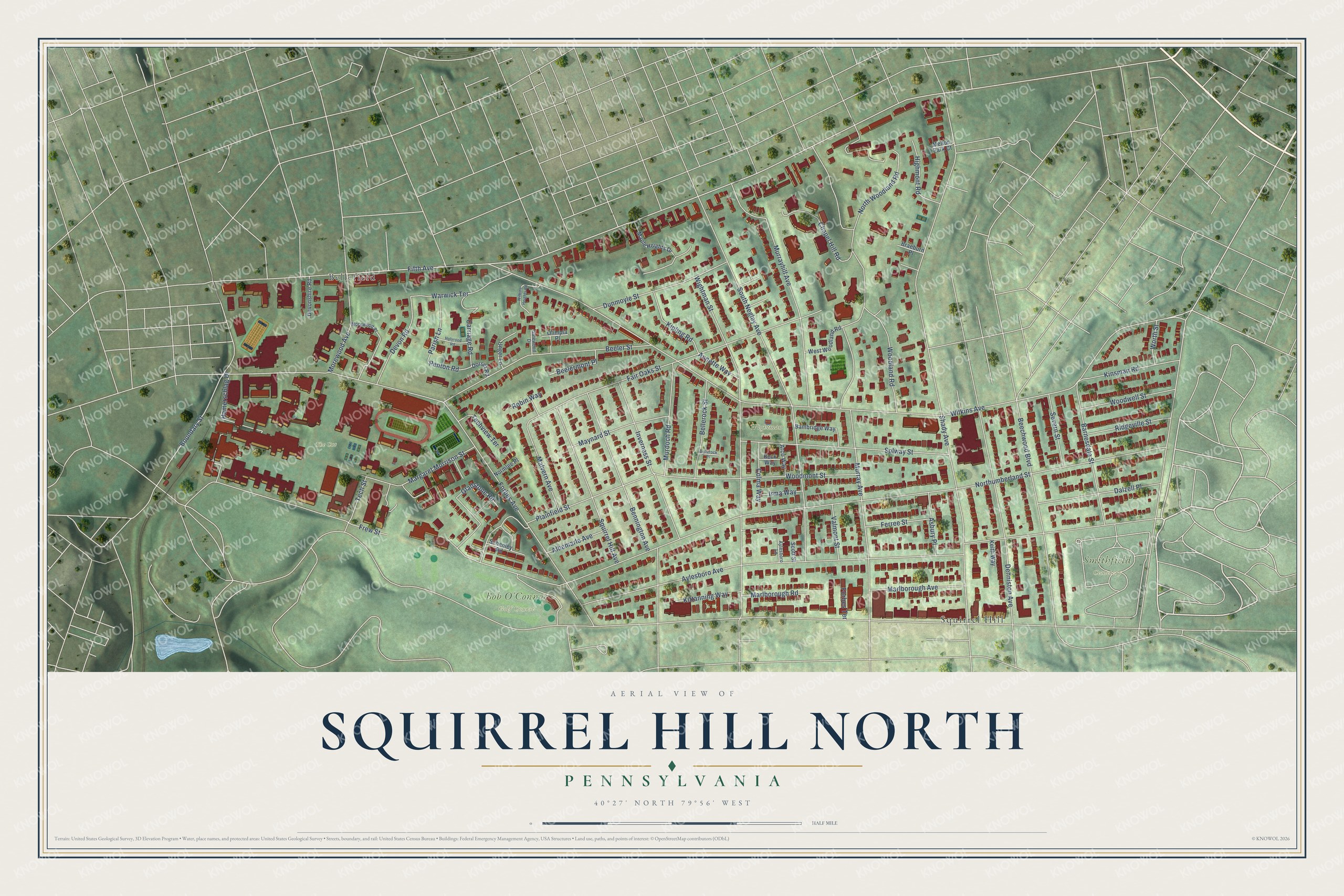
Street and place names on the Squirrel Hill North, Pennsylvania map
These names are printed on the map of Squirrel Hill North, Pennsylvania.
Places: Bob O'Connor Golf Course, Smithfield Cemetery, The Cut, Wightman Park, Bellefield and Squirrel Hill.
Streets and roads: Wilkins Avenue, Fifth Avenue, Penton Road, Northumberland Street, Aylesboro Avenue, Forbes Avenue, South Negley Avenue, Wightman Street, Fair Oaks Street, Woodland Road, Murrayhill Avenue, Beechwood Boulevard.
More street names, A to Z
Albemarle Avenue, Annette Way, Arco Way, Asbury Place, Aylesboro Lane, Bambridge Way, Barnesdale Street, Beck Way, Beelermont Place, Beeler Street, Bellerock Place, Bellerock Street, Bennington Avenue, Boundary Street, Braeburn Place, Carriage Road, Chapel Hill Road, Colma Way, Dalzell Place, Denniston Avenue, Devon Road, Devonshire Road, Dorset Road, Dunmoyle Street, Ferree Street, Forbes Terrace, Frew Street, Gatewood Drive, Gladstone Road, Hamerschlag Drive, Highmont Road, Holyrood Road, Inverness Street, Irma Way, Keith Way, Kinsman Road, Kipling Road, Kittanning Way, Malvern Avenue, Maple Heights Drive, Margaret Morrison Street, Marlborough Avenue, Marlborough Road, Maynard Street, Mellon Park Court, Morewood Avenue, Morewood Place, Murdoch Road, Murray Avenue, Normlee Place, North Woodland Road, Olimpia Place, Parish Lane, Plainfield Street, Ridgeville Street, Robin Way, Schenley Road, Scott Street, Severn Street, Shady Avenue, Solway Street, Squirrel Hill Avenue, Tech Street, Techview Terrace, Unger Lane, Valmont Street, Warwick Terrace, West Woodland Road, Wilkins Heights Road, Woodmont Street, Woodwell Street, Worth Street.
See the Squirrel Hill North, Pennsylvania map on a wall
The Squirrel Hill North map as an 18 x 24 inch print in a black frame.

This beautifully detailed map of Squirrel Hill North makes an attractive addition to your office, library, or den, and it can even be used to teach children the geography and history of the area. It also makes a great gift for anyone with Squirrel Hill North roots. When you’re done exploring, click here to get your copy of the Squirrel Hill North map.