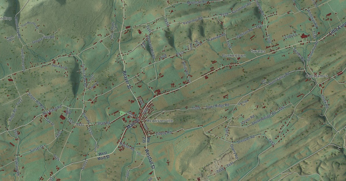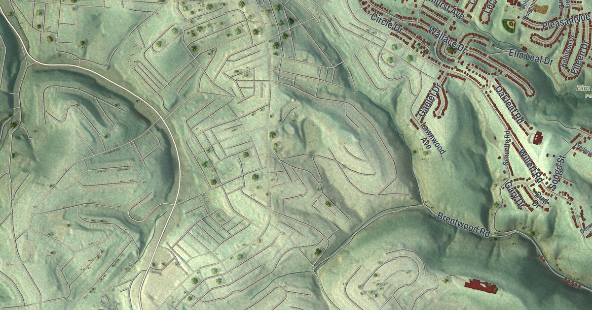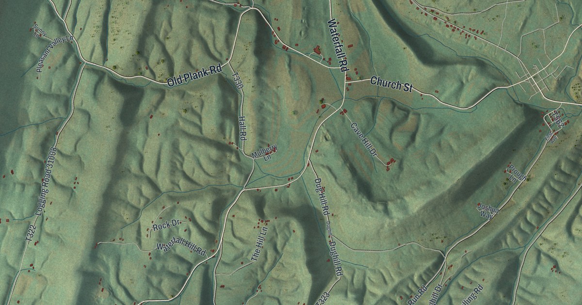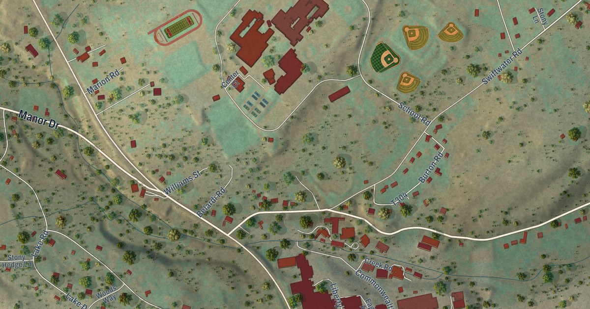
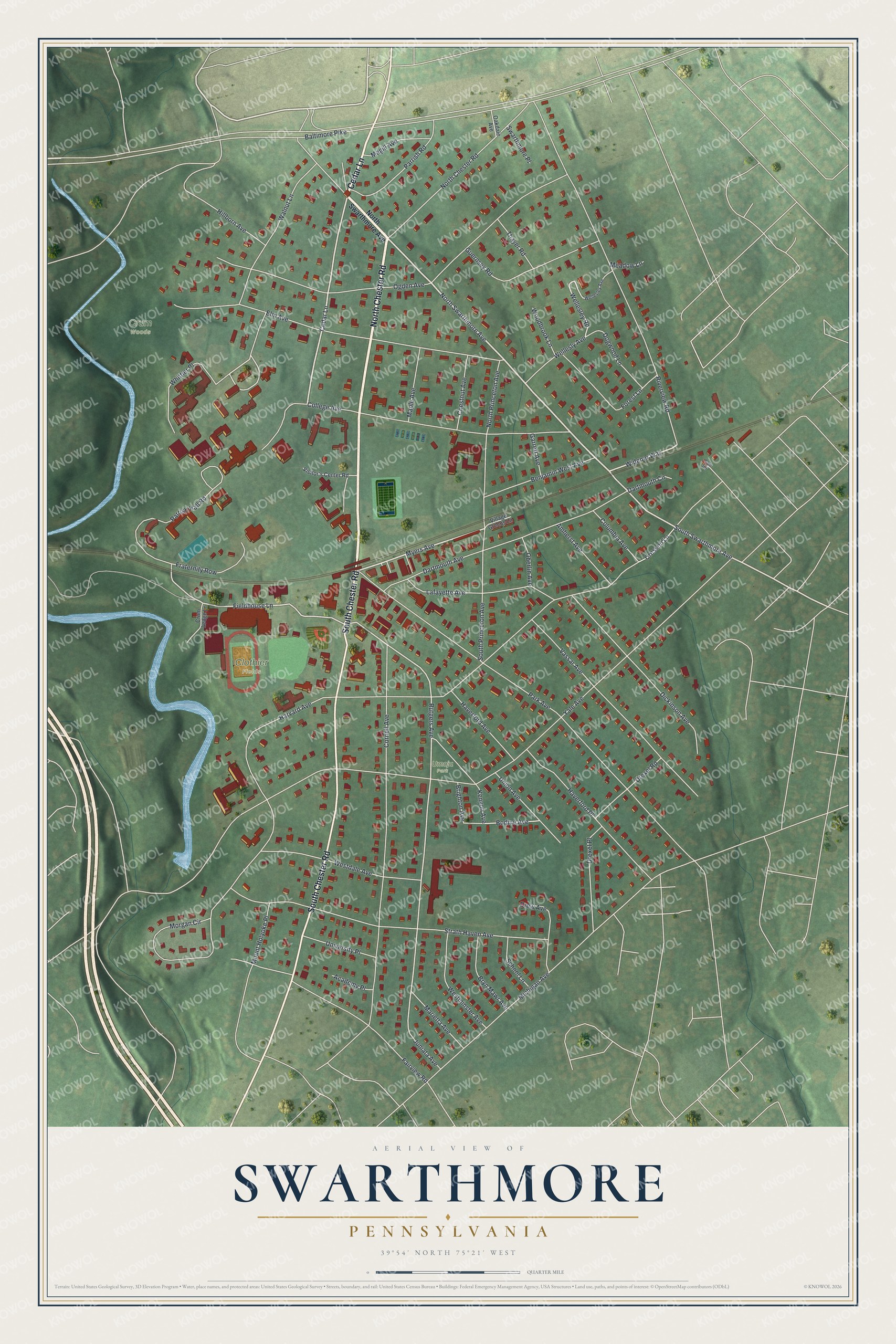
This beautifully detailed map of Swarthmore, Pennsylvania was created in 2026 using aerial imagery combined with modern topographical, census, street and landmark data. It’s a one-of-a-kind view of Swarthmore that combines accurate data with a vintage aesthetic. The map shows every building in its true location, many of the roads carry their names, and the shaded topographic relief shows the shape of the land.
Explore an aerial view of Swarthmore, Pennsylvania
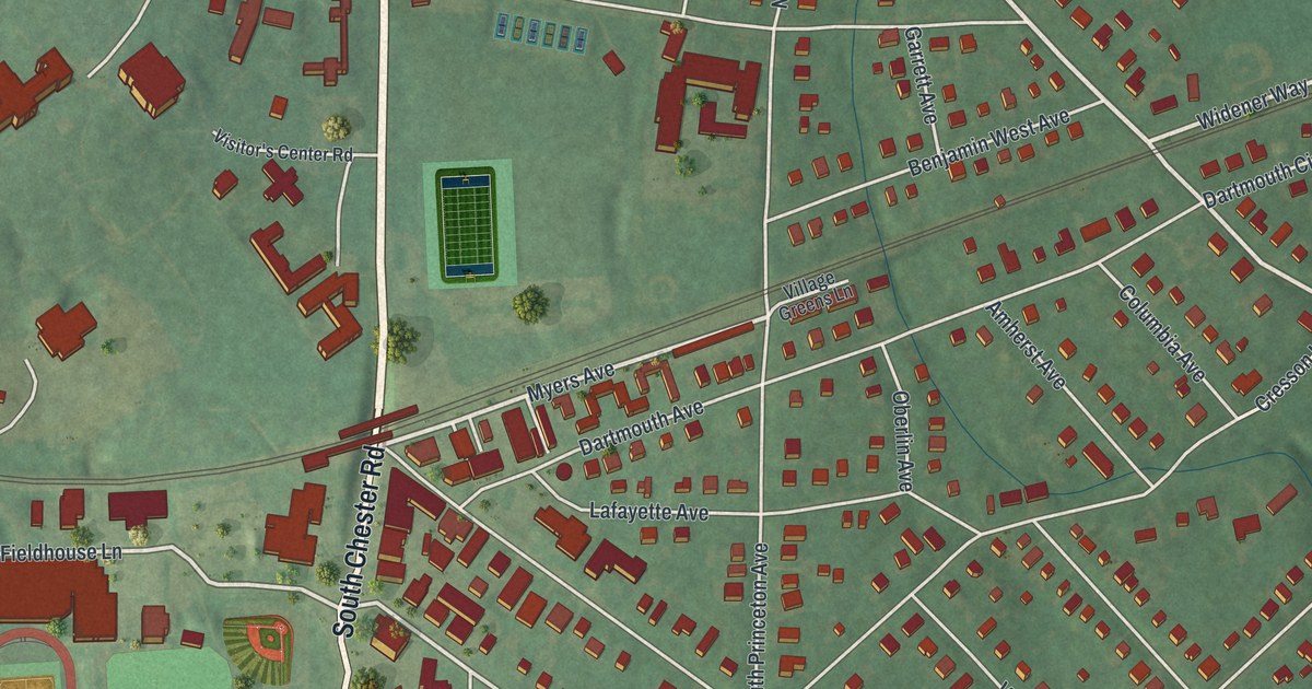
On the map you’ll find Crum Woods, Clothier Fields, and Umoja Park, along with North Chester Road, Cedar Lane, South Chester Road, North Swarthmore Avenue, South Swarthmore Avenue, Myers Avenue, Widener Way, Fieldhouse Lane, Wellesley Road, and more. If you look closely you can even find your house accurately drawn in its correct location. Zoom in on the preview to look for yours.
Did you know this piece of Swarthmore, Pennsylvania history?
From Abraham Howry Espenshade’s 1925 Pennsylvania Place Names: "Swarthmore, in Delaware County, has been built up about Swarthmore College, from which it received its name. The college was established by Friends in 1864, and named for Swarthmore Hall, the home of George Fox, the founder of the Society of Friends."
Take a closer look at the Swarthmore map
Street and place names on the Swarthmore, Pennsylvania map
These names are printed on the map of Swarthmore, Pennsylvania.
Places: Crum Woods, Clothier Fields and Umoja Park.
Streets and roads: North Chester Road, Cedar Lane, South Chester Road, North Swarthmore Avenue, South Swarthmore Avenue, Myers Avenue, Widener Way, Fieldhouse Lane, Wellesley Road, Rutgers Avenue, Whittier Place, Harvard Avenue.
More street names, A to Z
Academy Place, Amherst Avenue, Baltimore Pike, Benjamin West Avenue, Bodine Avenue, Brighton Avenue, Bryn Mawr Avenue, Chestnut Avenue, College Avenue, Columbia Avenue, Cornell Avenue, Cresson Lane, Crum Ledge Lane, Dartmouth Avenue, Dartmouth Circle, Dickinson Avenue, Dogwood Lane, Drew Avenue, Drexel Place, Drexel Road, Elm Avenue, Fairview Road, Forest Lane, Fraternity Row, Garrett Avenue, Guernsey Road, Haverford Avenue, Haverford Place, Hillborn Avenue, Juniata Avenue, Kenyon Avenue, Lafayette Avenue, Magill Avenue, Maple Avenue, Marietta Avenue, Meadow Lane, Michigan Avenue, Morgan Circle, Mount Holyoke Place, North Princeton Avenue, Oakdale Avenue, Oberlin Avenue, Ogden Avenue, Park Avenue, Parrish Hall Road, Parrish Road, Riverview Road, School Lane, South Princeton Avenue, Strath Haven Avenue, Swarthmore Place, Thayer Road, Union Avenue, University Place, Vassar Avenue, Village Greens Lane, Visitor's Center Road, Walnut Lane, Wellesley Avenue, Wellesly Avenue, Westdale Avenue, Westminster Avenue, Woodbrook Lane, Yale Avenue, Yale Square.
See the Swarthmore, Pennsylvania map on a wall
The Swarthmore map as an 18 x 24 inch print in a black frame.

This beautifully detailed map of Swarthmore makes an attractive addition to your office, library, or den, and it can even be used to teach children the geography and history of the area. It also makes a great gift for anyone who grew up in Swarthmore or moved away. When you’re done exploring, click here to get your copy of the Swarthmore map.