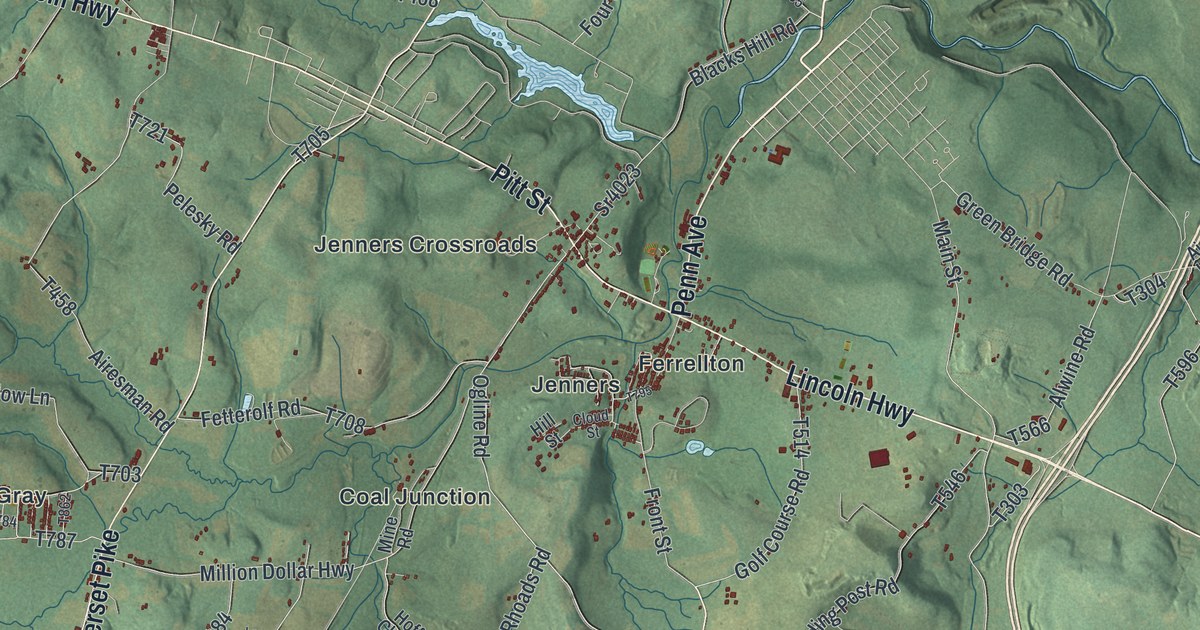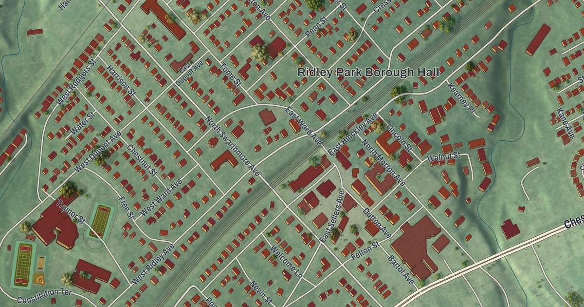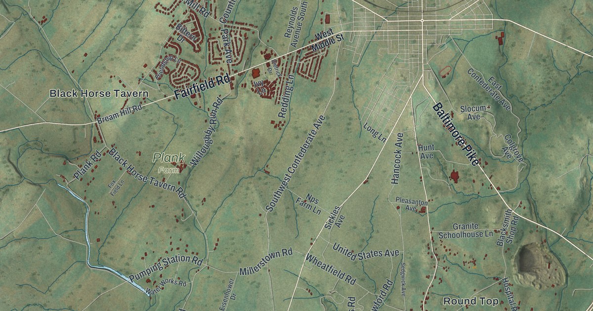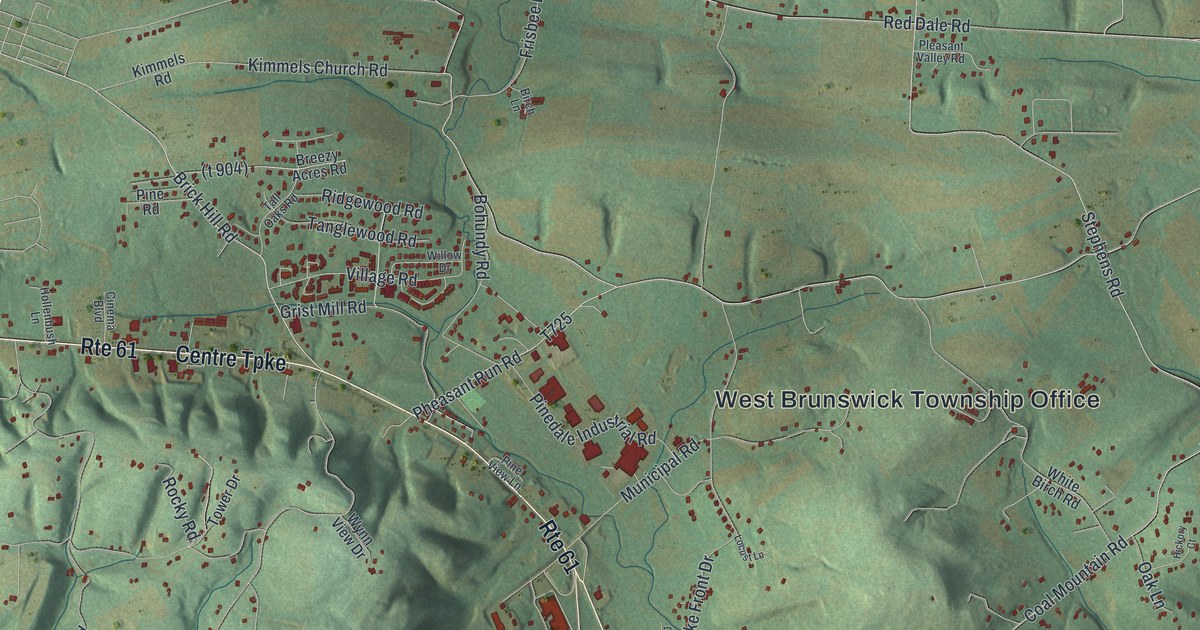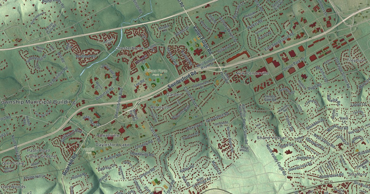
If you grew up in Tredyffrin, look for your old neighborhood on this map. It's a modern aerial view of Tredyffrin in Chester County, Pennsylvania, made with modern data and a vintage feel. Green hills, pale roads and red building shapes fill the print. Names like Chesterbrook, Paoli and Strafford give you places to start.
North Valley Forge Road and the Great Valley Church
On this map you'll find Lancaster Avenue, Swedesford Road, North Valley Forge Road, Old Eagle School Road, Chesterbrook Boulevard, Cassatt Road, Chesterbrook, Paoli, Strafford, Howellville, Cedar Hollow, Wilson Farm Park, and more. Each red shape is a building, so zoom in on the preview and look for yours.
North Valley Forge Road gives this map a link to a church story from 1711. According to the state historical marker for The Baptist Church in the Great Valley, Welsh families started the church that year. The marker calls it Pennsylvania's second oldest Baptist church. It also credits the church with giving rise to eight nearby congregations. Its second building was built in 1805. The marker's location on North Valley Forge Road ties those dates to a road you can find on the print.
Keep Chesterbrook and Paoli Close
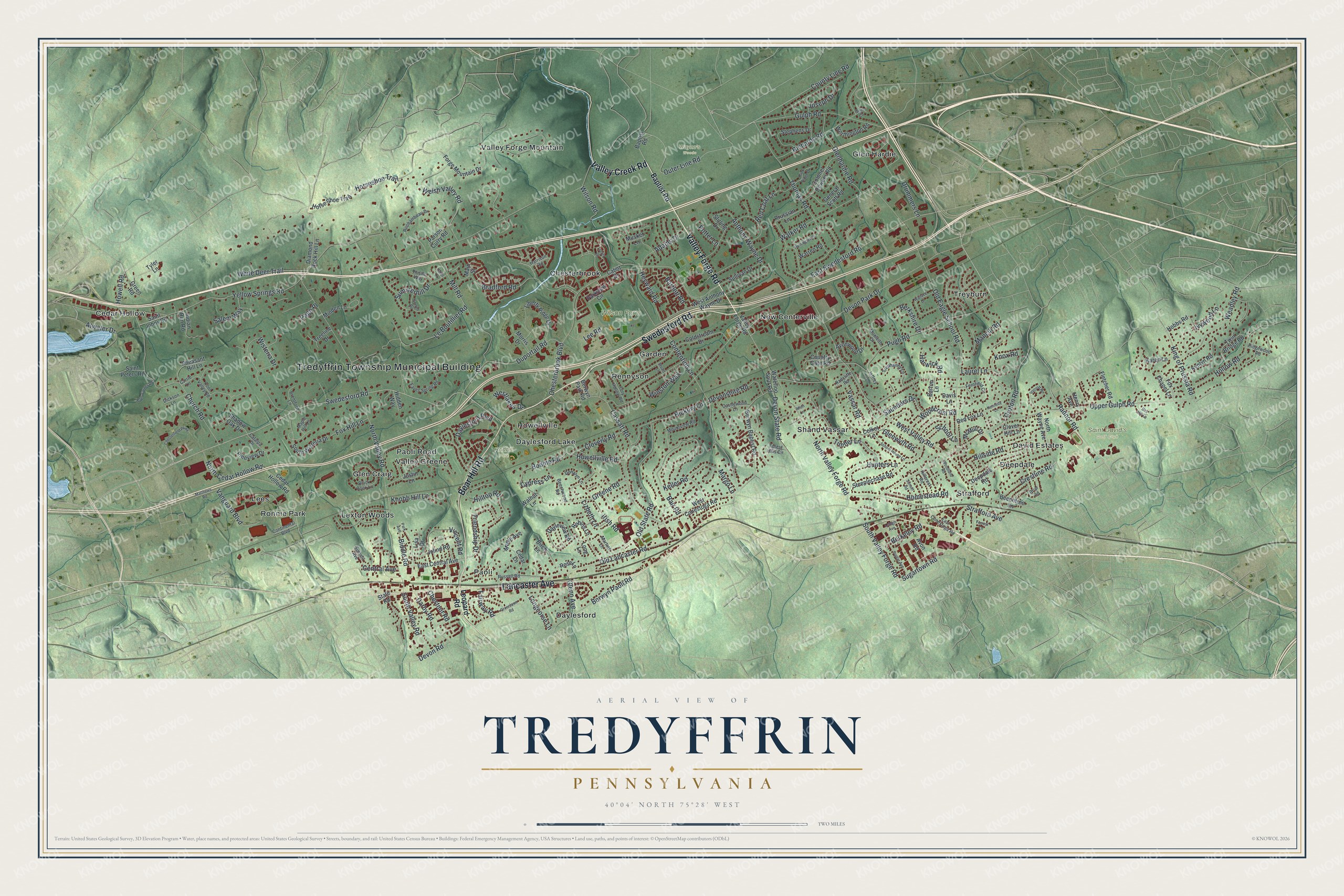
Created by KNOWOL in 2026, the print pairs green shaded hills with red buildings and pale roads. A cream border surrounds the view. The title panel reads AERIAL VIEW OF, TREDYFFRIN, PENNSYLVANIA, with 40°04' NORTH 75°28' WEST beneath it.
Hang it in a living room, home office or entryway. It's a thoughtful gift for someone who grew up in Chesterbrook or has family in Paoli. Open the preview and look for the streets you'd want to keep close. See sizes and frames for the Tredyffrin map.