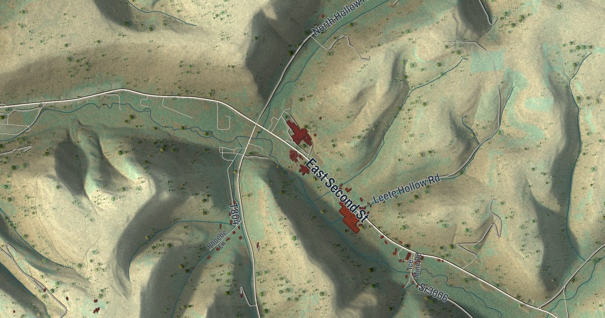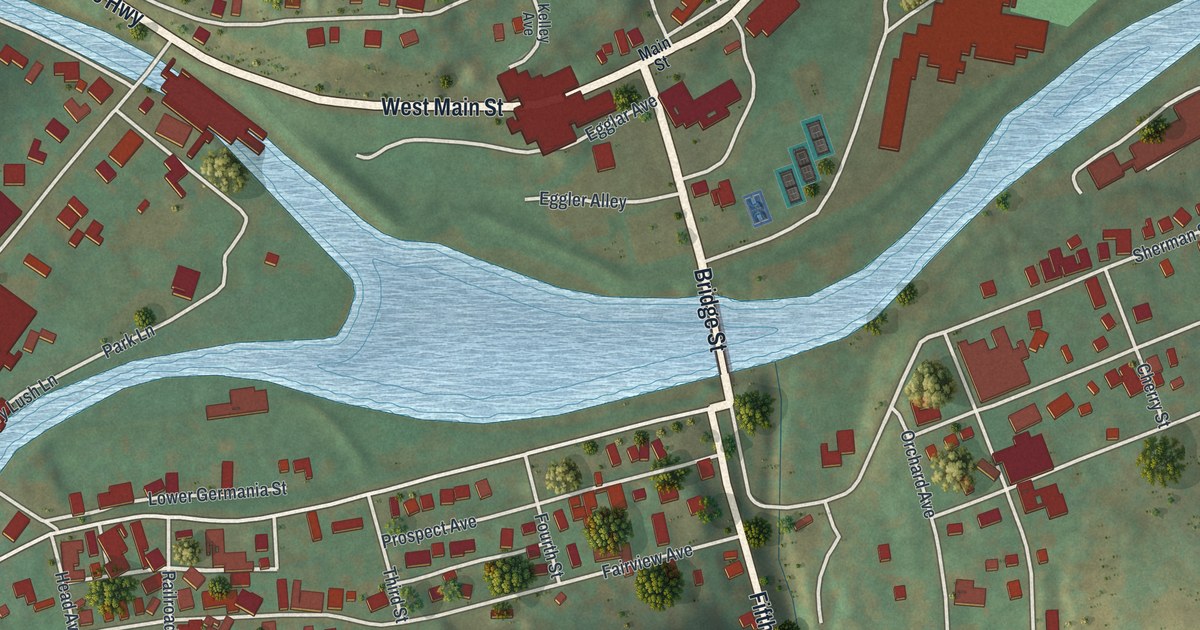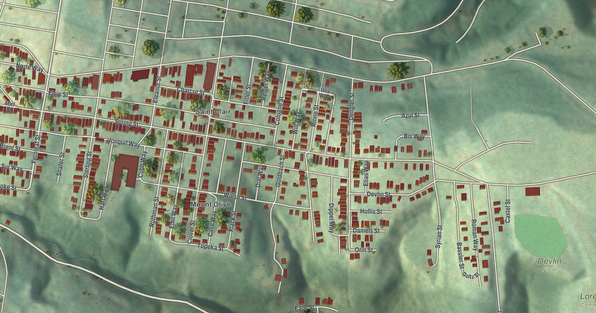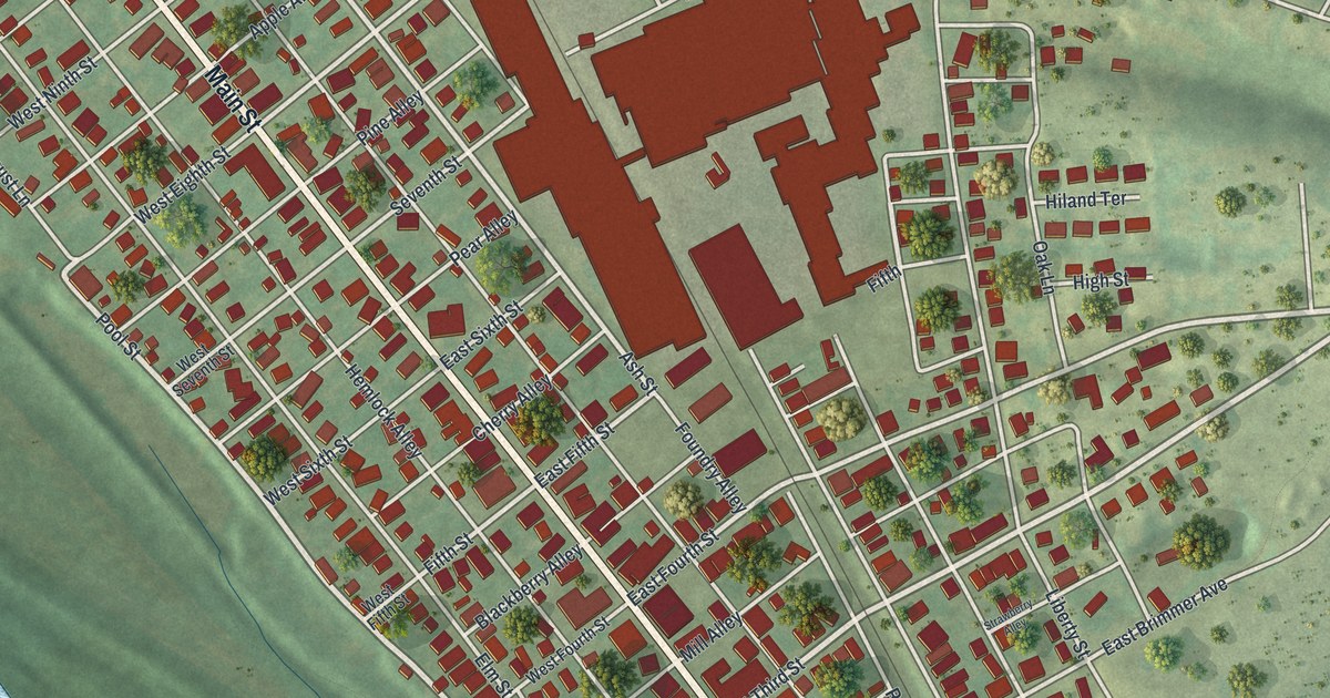
If you grew up in Watsontown, look for your old block on this map. It's a modern aerial view of Watsontown in Northumberland County, Pennsylvania, made with modern data and a vintage feel. A wide blue river curves past rows of red buildings. Watsontown Memorial Park and the town's street grid give you places to start looking.
Main Street and John Watson's Town
You'll find Main Street, Watsontown Memorial Park, South Main Street, East First Street, West First Street, East Third Street, West Brimmer Avenue, East Brimmer Avenue, Canal Street, Railroad Street, Liberty Street, and more. Each red shape is a building, so zoom in on the preview and look for yours.
Watsontown takes its name from John Watson, who bought land here in 1792. The 1891 History of Northumberland County, Pennsylvania tells how he laid out the town. His first plan had just two streets: Main and Front. Front later became First Street. On this map, Main Street, East First Street and West First Street tie that early plan to familiar names.
Watson sold about six lots, then worried the village would disrupt his farm. He began buying those lots back and eventually got them all. At his death, the town had about six houses along Front Street. David Watson kept the first hotel and store on that same street, beside the canal. Those few homes and businesses were the start of the town that carries the family name.
Watsontown Memorial Park and Your Own Block
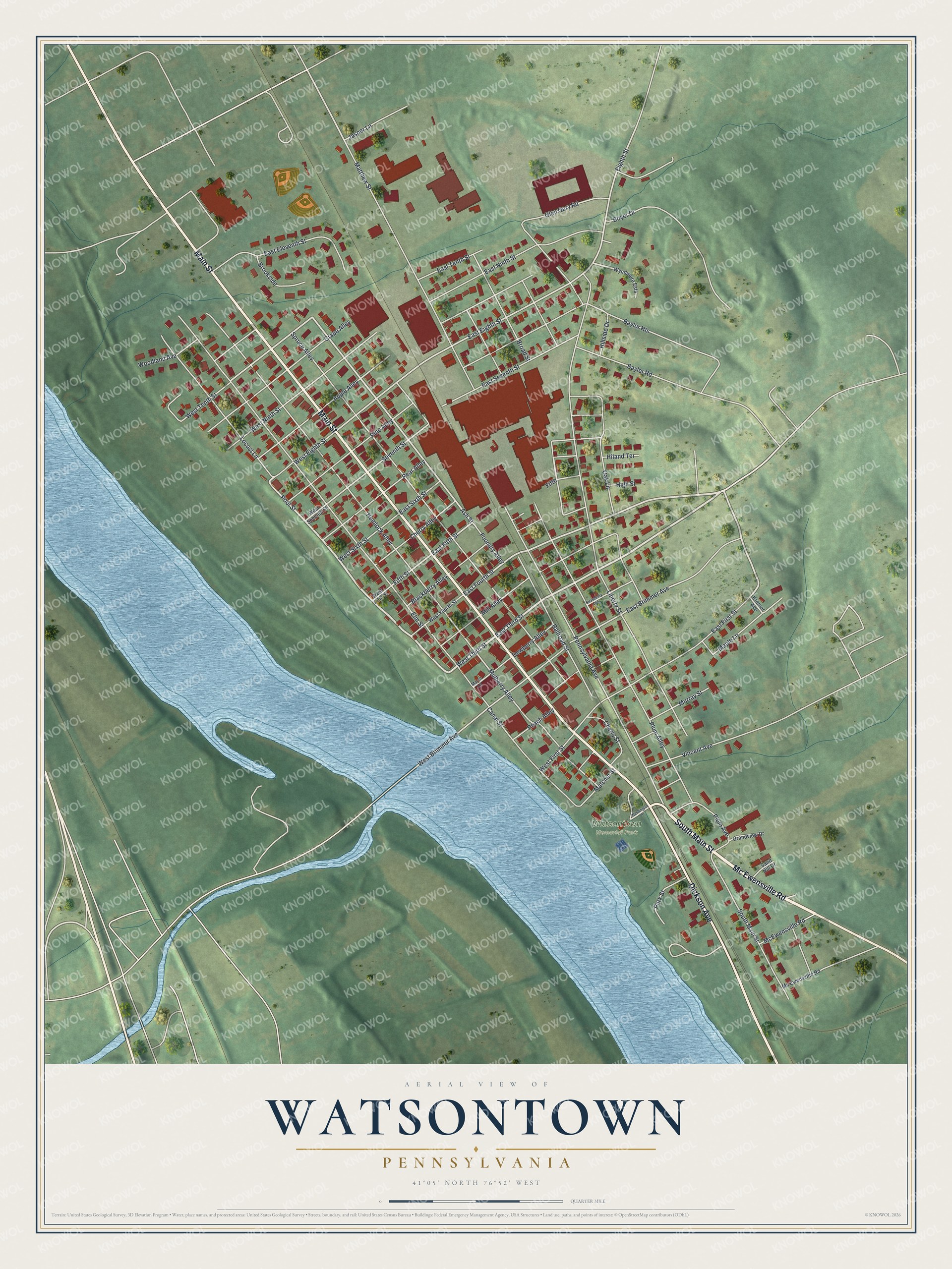
Created by KNOWOL in 2026, the print pairs green land, blue water and red buildings with pale streets. A cream border surrounds the view. The title panel reads AERIAL VIEW OF WATSONTOWN, PENNSYLVANIA, with 41°05' NORTH 76°52' WEST below.
Hang it in a living room, office or entryway to keep home close. It's a gift for someone who grew up near Watsontown Memorial Park or has family here. Open the preview and take a closer look at the streets you know. See sizes and frames for the Watsontown map.