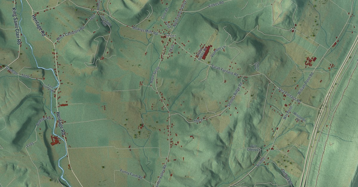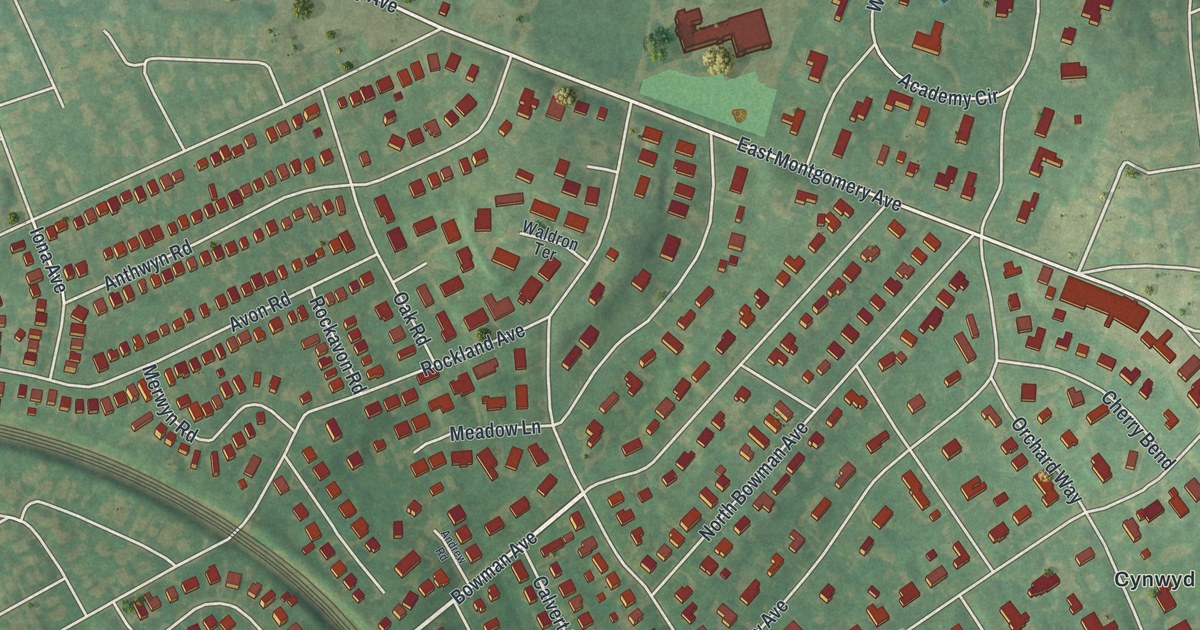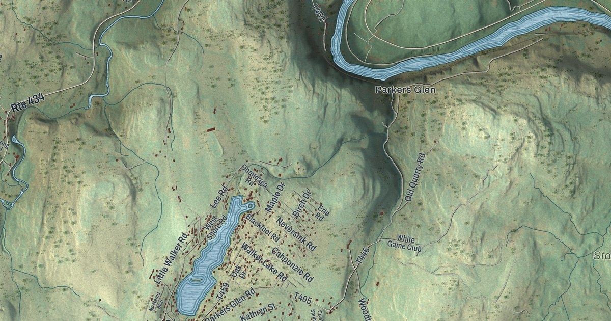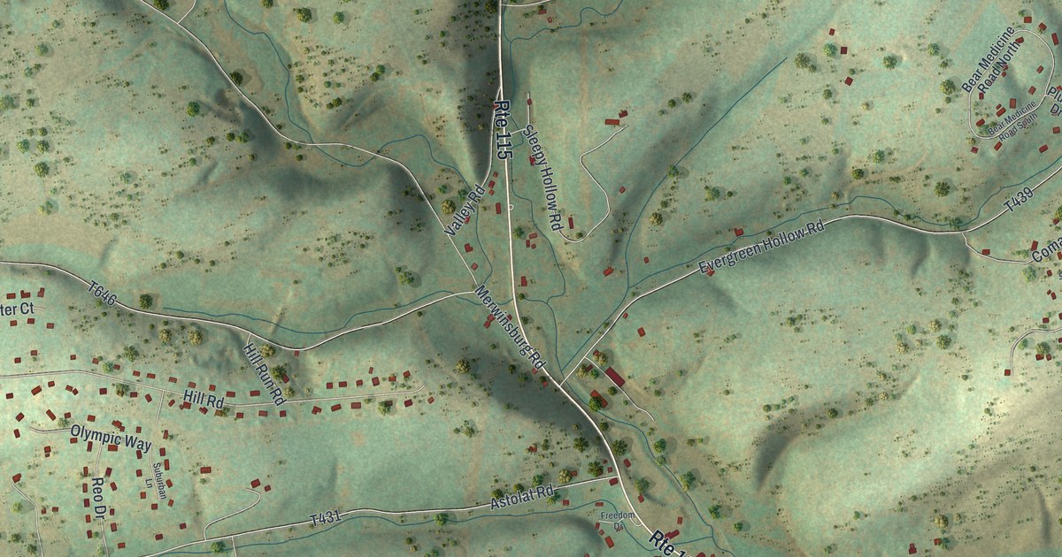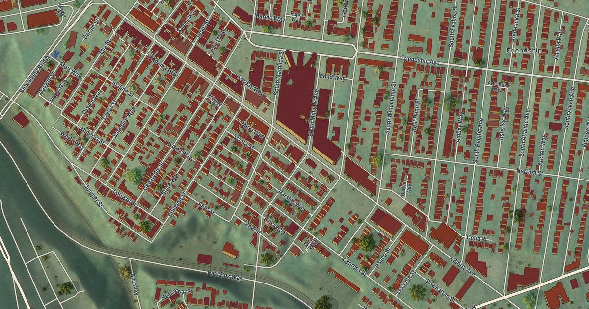
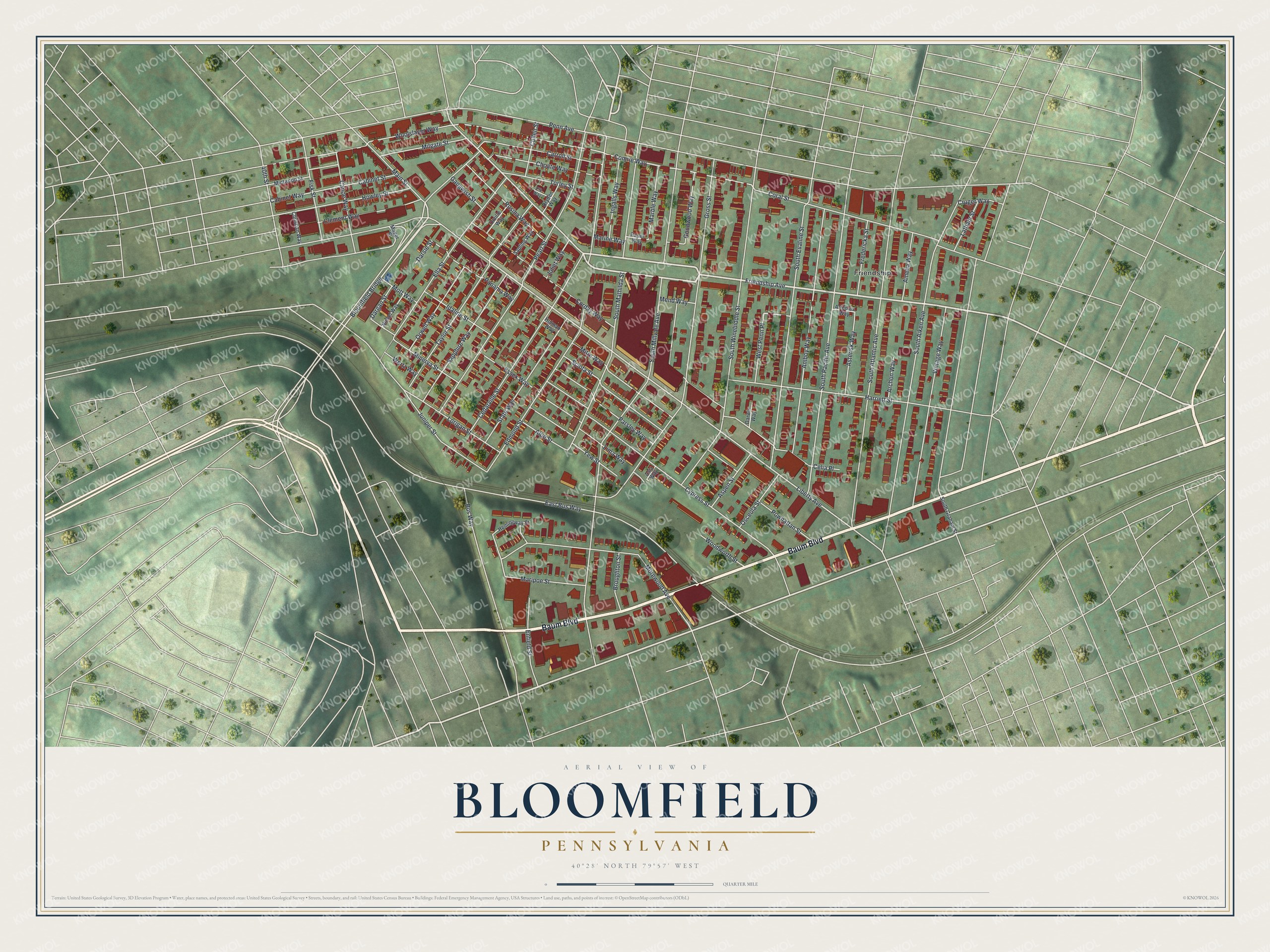
This beautifully detailed map of Bloomfield, Allegheny County, Pennsylvania was created in 2026 using aerial imagery combined with modern topographical, census, street and landmark data. It’s a one-of-a-kind view of Bloomfield that combines accurate data with a vintage aesthetic. The map shows every building in its true location, many of the roads carry their names, and the shaded topographic relief shows the shape of the land.
Explore an aerial view of Bloomfield, Allegheny County, Pennsylvania
On the map you’ll find Friendship and Bloomfield Bridge, along with Baum Boulevard, Friendship Avenue, Liberty Avenue, Main Street, Comrie Way, Enfield Street, Penn Avenue, South Millvale Avenue, Gross Street, South Aiken Avenue, and more. If you look closely you can even find your house accurately drawn in its correct location. Zoom in on the preview to look for yours.
Did you know this piece of Bloomfield, Allegheny County, Pennsylvania history?
From George Thornton Fleming’s 1922 History of Pittsburgh and Environs: "The Howard District, which was the Sixteenth Ward, had two school buildings, one on Thirty-third street and Spring avenue, the other in Bloomfield, both intermediate departments."
Take a closer look at the Bloomfield, Allegheny County map
Street and place names on the Bloomfield, Allegheny County, Pennsylvania map
These names are printed on the map of Bloomfield, Allegheny County, Pennsylvania.
Places: Friendship.
Streets and roads: Baum Boulevard, Friendship Avenue, Liberty Avenue, Bloomfield Bridge, Main Street, Comrie Way, Enfield Street, Penn Avenue, South Millvale Avenue, Gross Street, South Aiken Avenue, South Atlantic Avenue.
More street names, A to Z
40th Street, Aloe Street, Amboy Way, Amelia Way, Archon Way, Artemus Way, Asia Way, Aspen Street, Asterisk Way, Broughton Street, Bus Way, Cabinet Street, Cabinet Way, Canoe Way, Carroll Street, Cedarville Street, Celia Place, Choate Way, Christian Way, Clement Way, Coral Street, Corday Way, Cruger Way, Cullen Street, Cypress Street, Dargan Street, Darsie Street, Darwin Way, Dryden Way, East Bus Way, Edmond Street, Elk Way, Ella Street, Essex Way, Fisk Street, Fredericka Street, Gangwish Street, Goodwood Way, Harriett Street, Hemingway Street, Holman Way, Howley Street, Idaline Street, Ingalls Way, Joliet Way, Juniper Street, Latham Street, Lima Way, Lorigan Street, Mager Street, Marble Way, Marine Way, Maripoe Street, Mend Way, Milgate Street, Minerva Street, Mintwood Street, Mitre Way, Morewood Avenue, Mott Way, Nickel Way, Orville Way, Orwell Way, Osceola Street, Panama Way, Paper Way, Parsley Way, Pearl Street, Powhattan Street, Rosina Way, Sapling Way, Sapphire Way, Sciota Street, South Evaline Street, South Graham Street, South Mathilda Street, South Pacific Avenue, South Winebiddle Street, State Way, Taylor Street, Torley Street, Vintage Way, Wertz Way, West Penn Place, Woodworth Street, Woolslayer Way, Yew Street.
See the Bloomfield, Allegheny County, Pennsylvania map on a wall
The Bloomfield map as an 18 x 24 inch print in a black frame.

This beautifully detailed map of Bloomfield, Allegheny County makes an attractive addition to your office, library, or den, and it can even be used to teach children the geography and history of the area. It also makes a great gift for anyone with Bloomfield roots. When you’re done exploring, click here to get your copy of the Bloomfield, Allegheny County map.