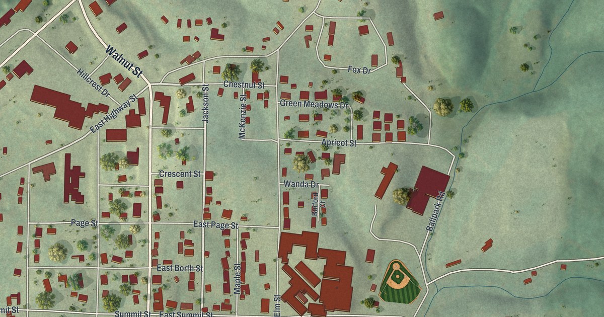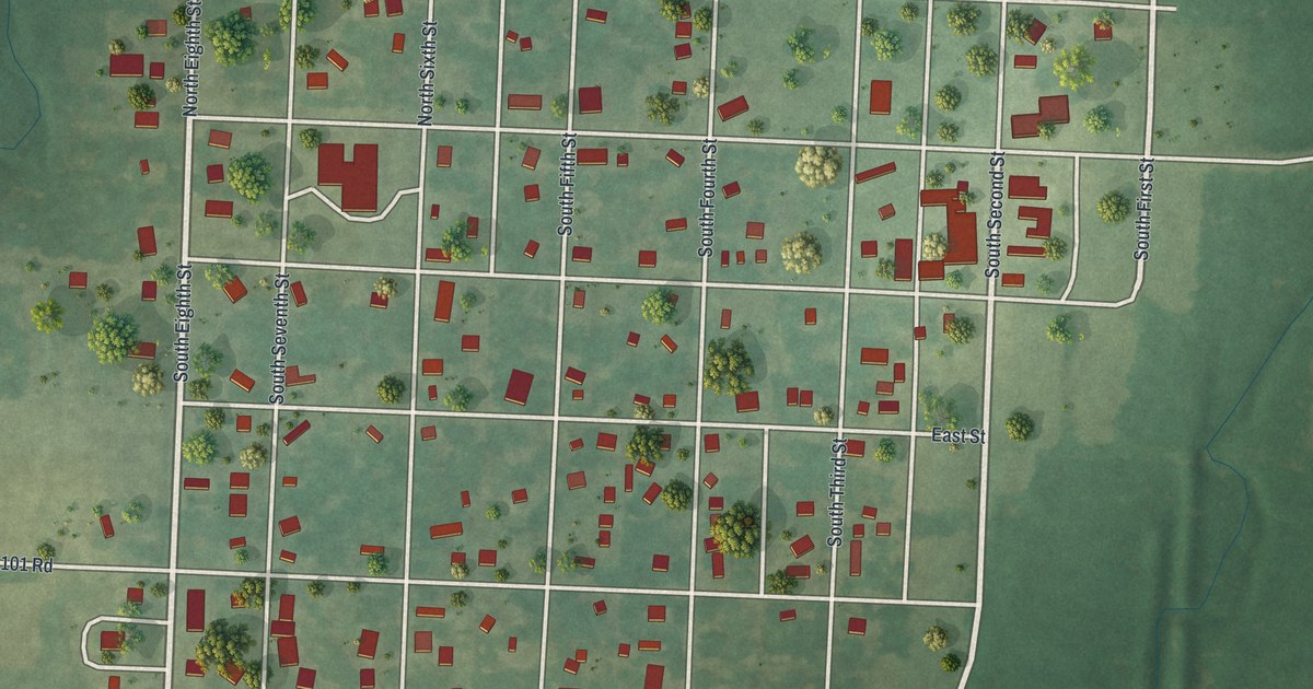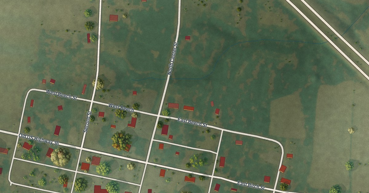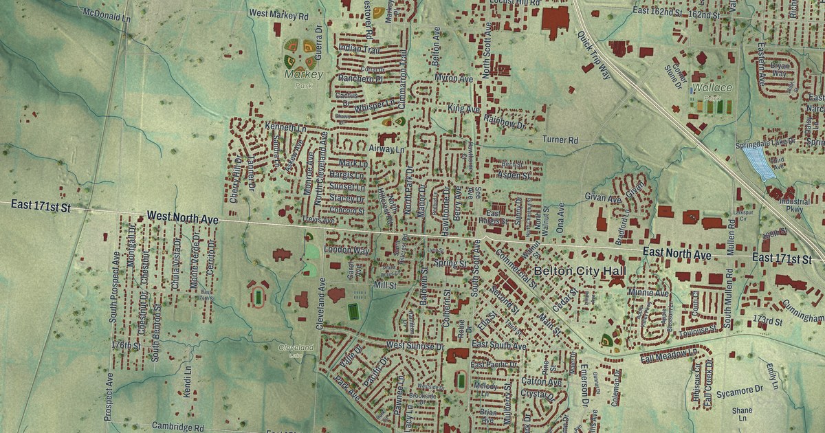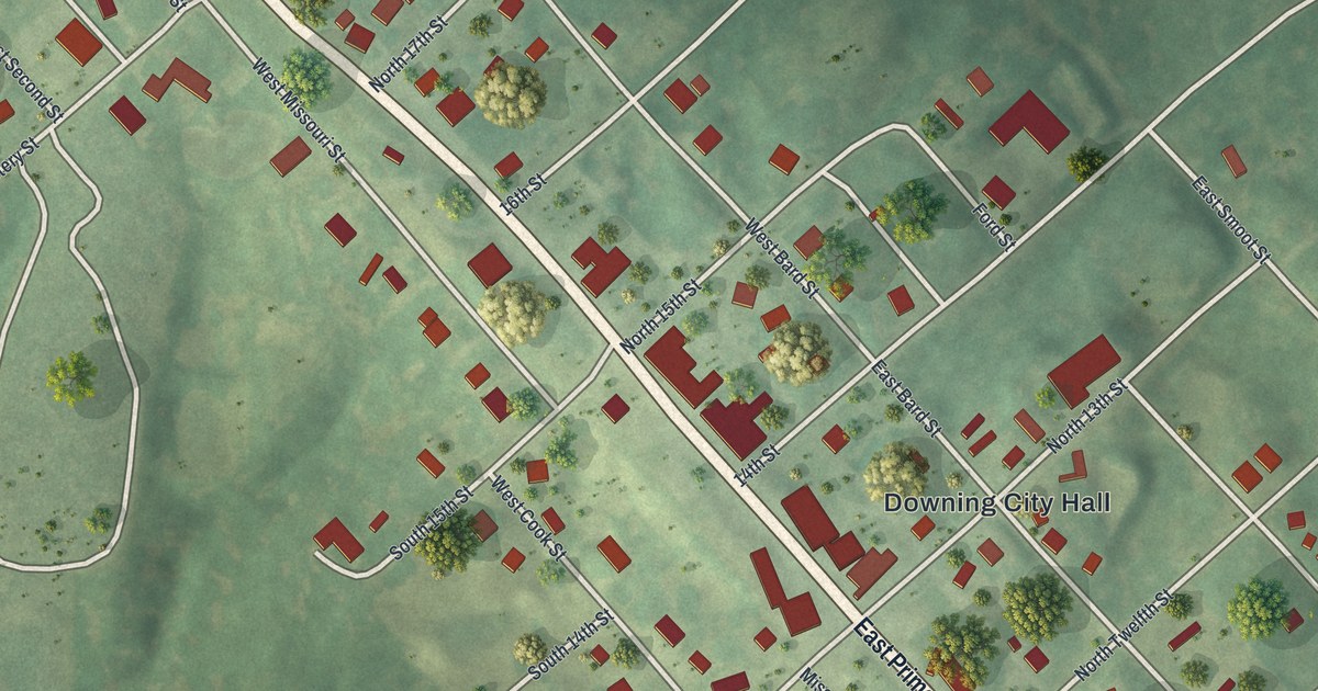
If you grew up in Downing or have family here, look for your block. This modern aerial view shows Downing in Schuyler County, Missouri, using modern data with a vintage feel. Red buildings line the town's streets, with green fields and scattered trees around them.
Downing and Schuyler County's first school
On this map you'll find Downing City Hall, East Prime Street, West Prime Street, East Smoot Street, West Bard Street, East Bard Street, East Stone Street, South Maple Street, East Cook Street, West Missouri Street, and more. Each red shape is a building, so zoom in on the preview and look for yours.
Downing City Hall marks today's town on the map. Nearby, the county's school story began in a simple cabin. The 1888 Goodspeed history places Schuyler County's first schoolhouse a few miles south of Downing's site, close to the county line. Miss Hathaway taught the county's first school there in the spring and summer of 1841.
Downing, from Prime Street to your wall
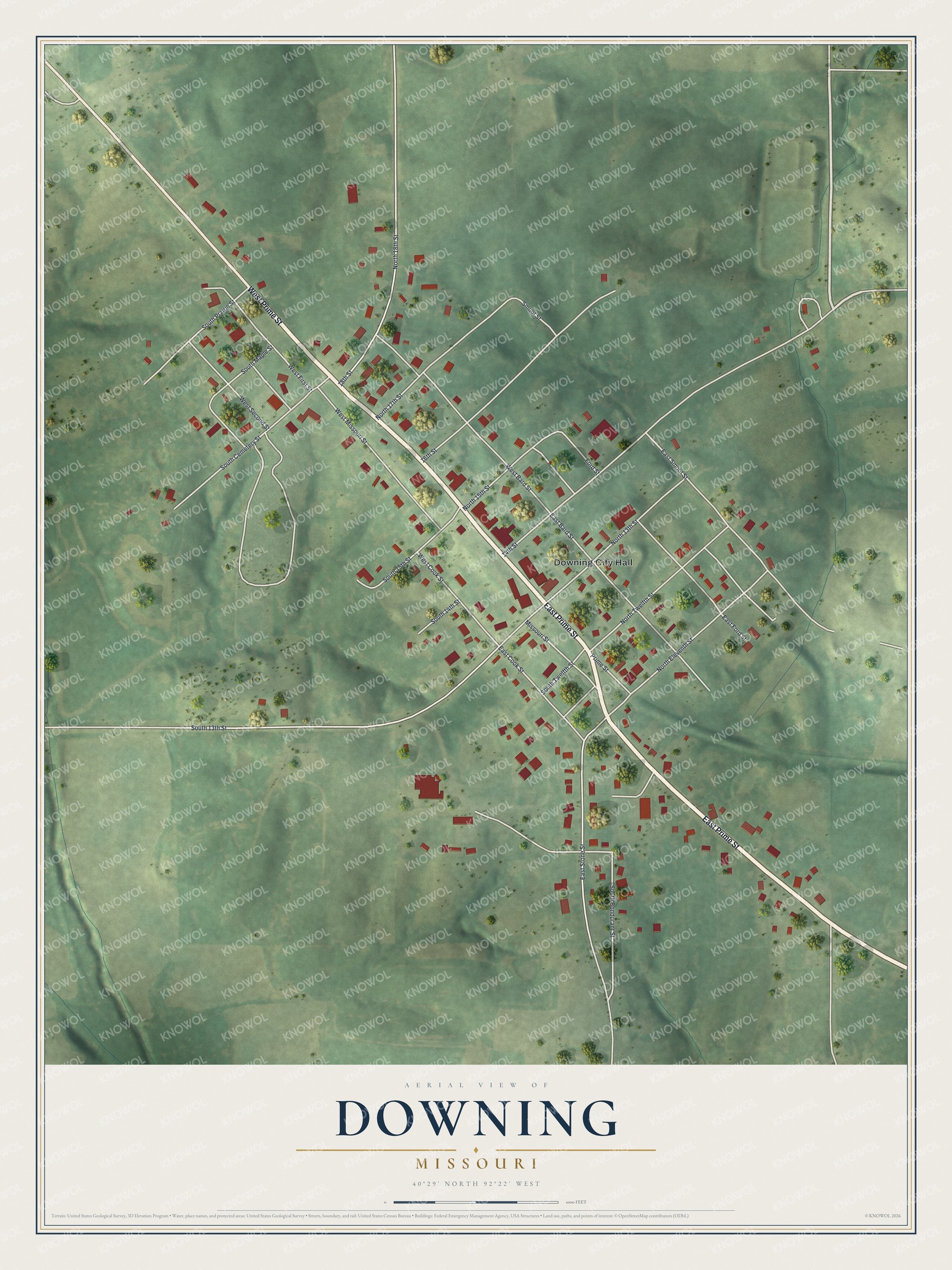
Created by KNOWOL in 2026, this print pairs soft green land with red buildings and pale roads. A cream border surrounds the view. The title panel reads AERIAL VIEW OF DOWNING, MISSOURI, with 40°29' NORTH 92°22' WEST below.
Hang it in a living room, office, or entryway to keep Downing close. It's a gift for someone who grew up along Prime Street or has family here. Open the preview and look for the streets you know. See sizes and frames for the Downing map.