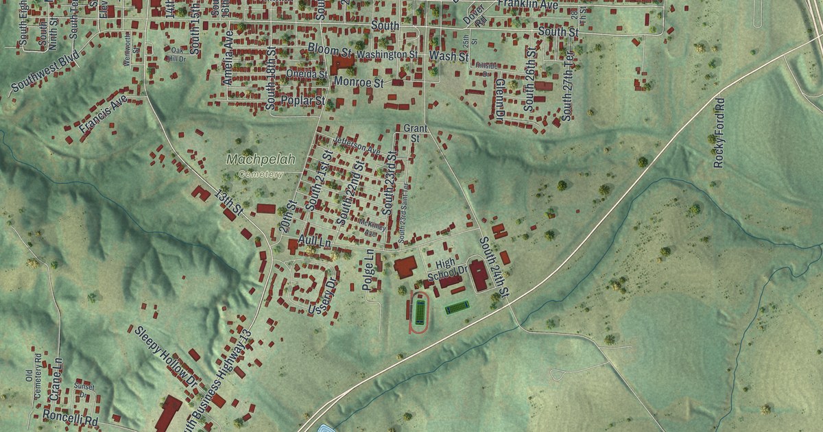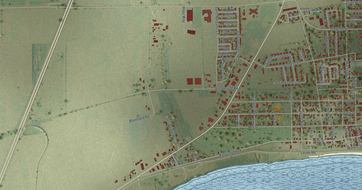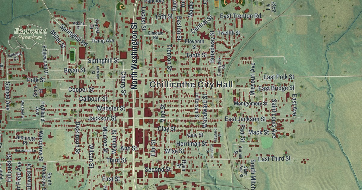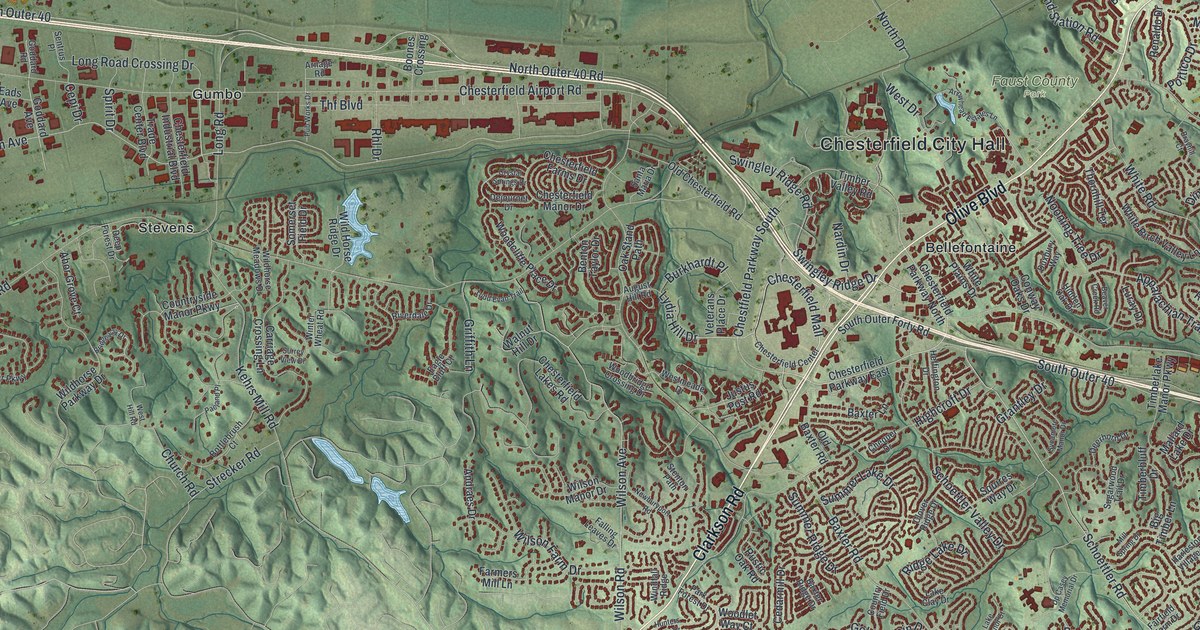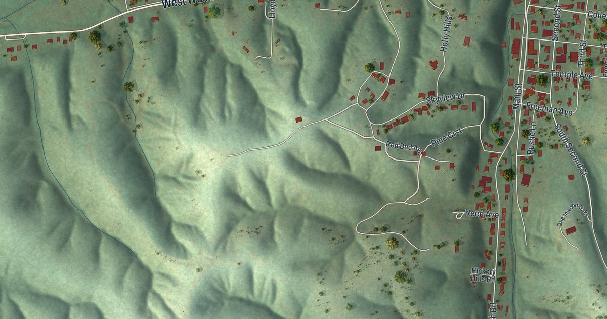
If you grew up in Ellington, look for your old street among these hills. This modern aerial view of Ellington in Reynolds County, Missouri, pairs modern data with a vintage feel. Red building shapes gather along pale roads, with green ridges rising around town.
Main Street, Walnut Street and more
On this map you'll find Main Street, Walnut Street, West Walnut Street, College Avenue, Second Street, Park Street, Maple Street, Mill Street, Whippet Drive, Sky Road, Ellington Hollow, and more. Each red shape is a building, so zoom in on the preview and look for yours.
The State Historical Society of Missouri's place-name account dates Ellington's post office to 1896. It's a small piece of the town's past to share with family. On this modern view, names like Walnut Street and Ellington Hollow give you familiar places to start looking, while the shaded hills show the shape of the land around them.
Ellington and its green hills
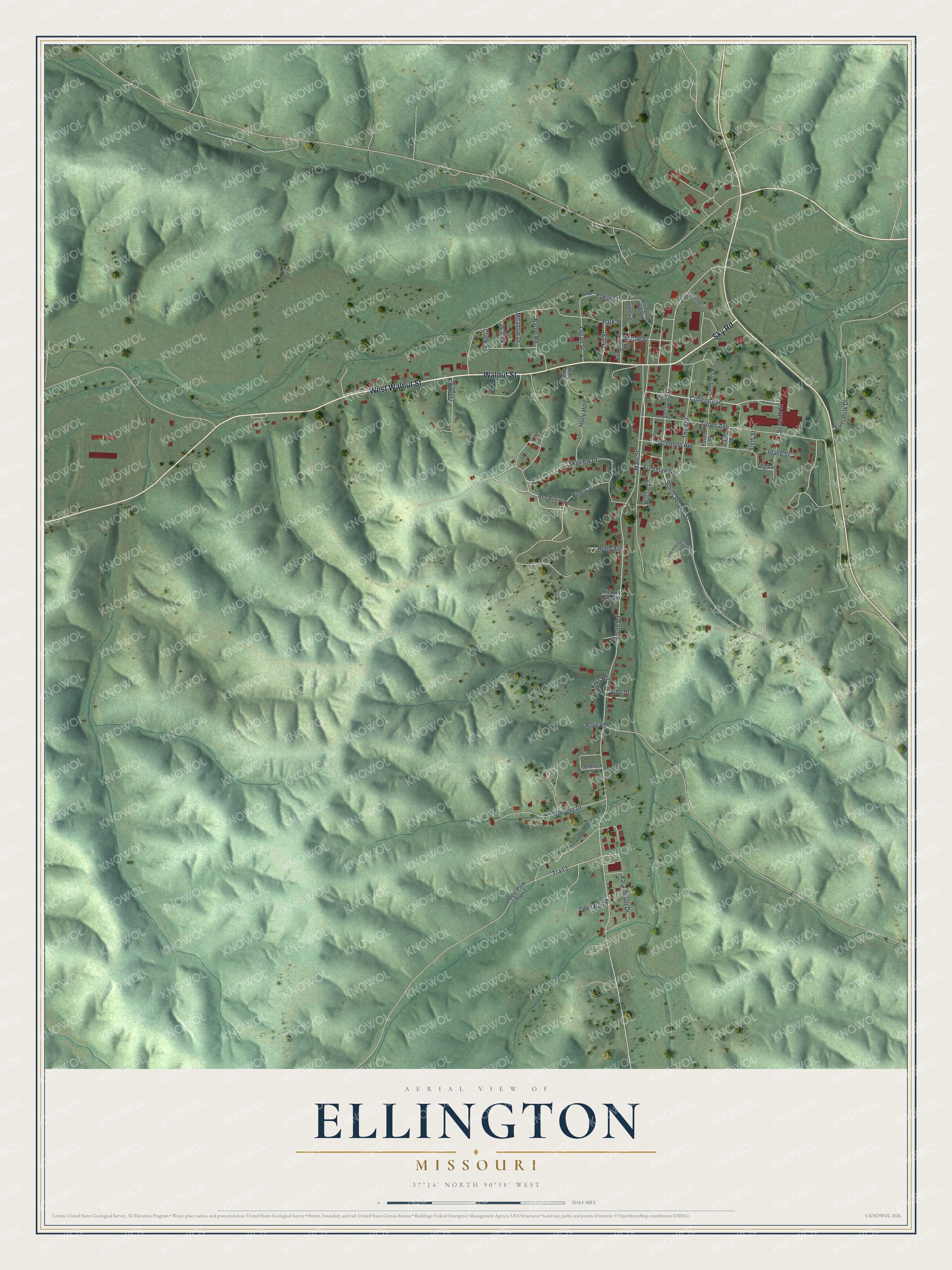
Created by KNOWOL in 2026, the print uses soft greens, red buildings and a cream border. Shading brings out the ridges and hollows. The title panel reads AERIAL VIEW OF ELLINGTON, MISSOURI, with 37°14' NORTH 90°58' WEST below.
Hang it in a living room, home office or entryway. It's a thoughtful gift for someone who grew up near Walnut Street and now lives away. Open the preview to find a familiar block and see the hills around it. See sizes and frames for the Ellington map.