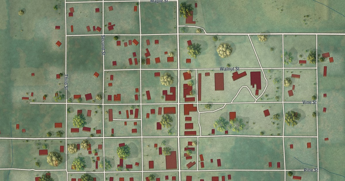
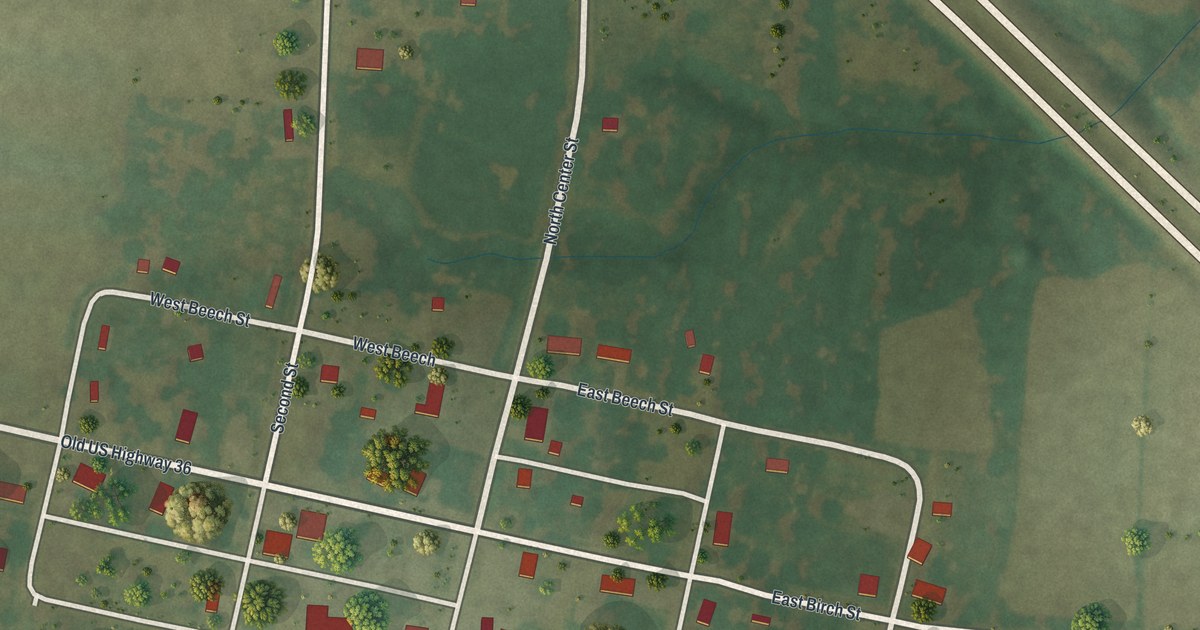
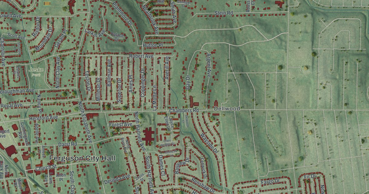
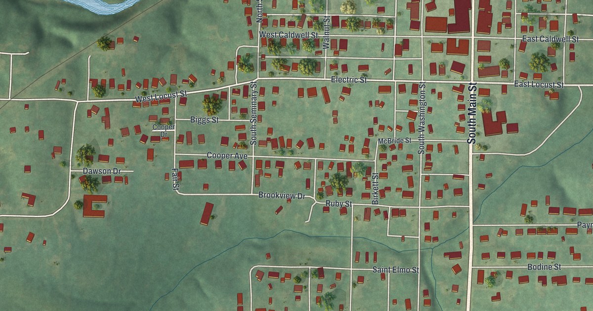
If you grew up in Gerald, this print puts familiar streets close at hand. It's a modern aerial view of Gerald in Franklin County, Missouri, made with modern data and a vintage feel. Red buildings gather along the town's streets, with green fields and woods around them.
Gerald and the Fitzgerald Family
On this map you'll find Main Street, West Fitzgerald Avenue, East Fitzgerald, South Bernhardt Avenue, North Bernhardt Avenue, West Springfield Avenue, West Third Street, South Pine Street, Walnut Street, East Sixth Street, and more. Each red shape is a building, so zoom in on the preview and look for yours.
Gerald's name comes from the Fitzgerald family. The State Historical Society of Missouri's place-name account describes them as prominent local landowners and pioneers. That gives a familiar name on this print a little more meaning. Look for West Fitzgerald Avenue and East Fitzgerald among the street labels. They share the family name behind Gerald itself.
A Gerald Print for Home
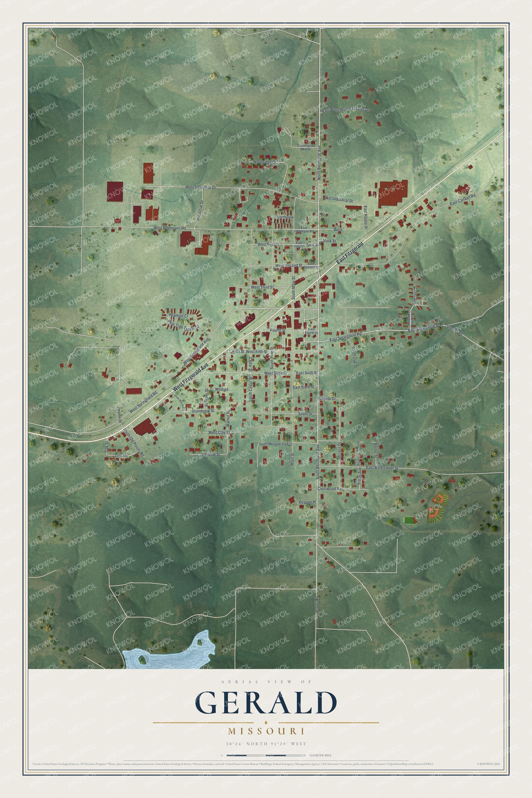
Created by KNOWOL in 2026, the print pairs soft green terrain with red buildings and pale roads. A cream border surrounds the view. The title panel reads AERIAL VIEW OF GERALD, MISSOURI, with 38°24' NORTH 91°20' WEST below.
Hang it in a living room, home office, or entryway. It's a thoughtful gift for someone who grew up near Main Street or moved away from Gerald. Open the preview to find a familiar block and take a closer look. See sizes and frames for the Gerald map.