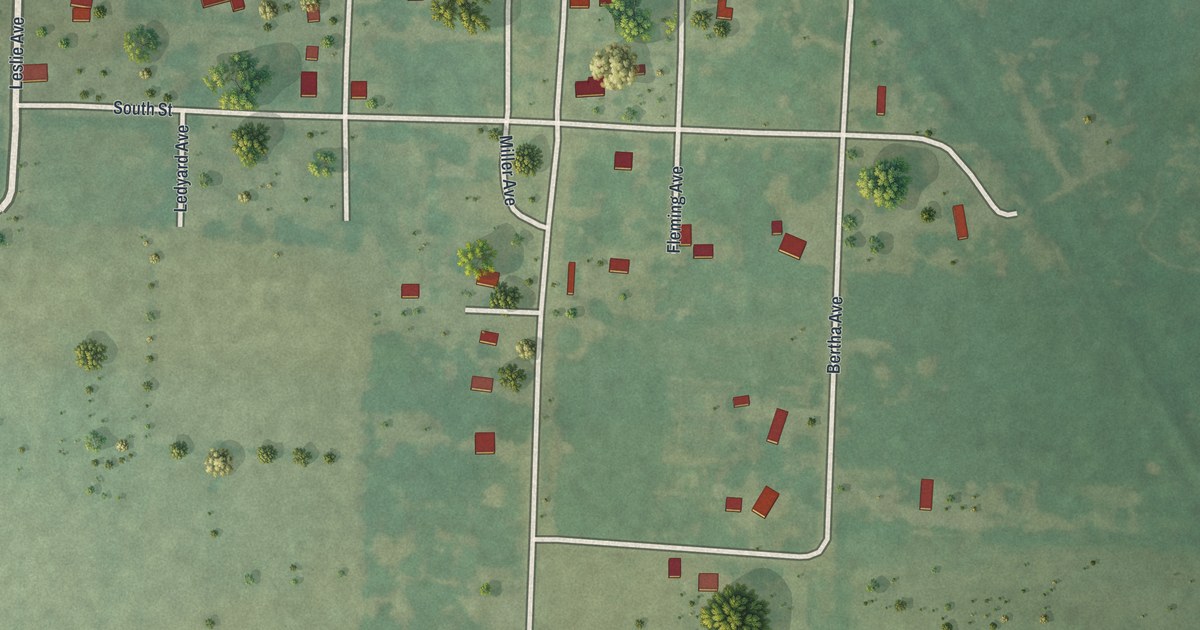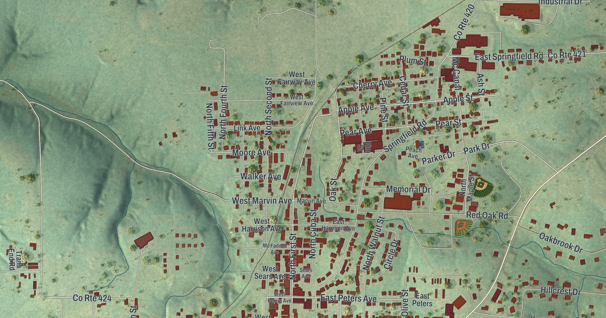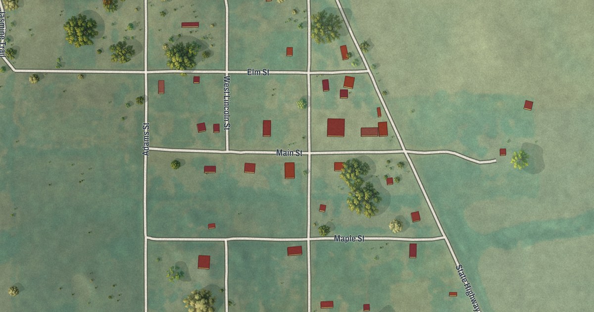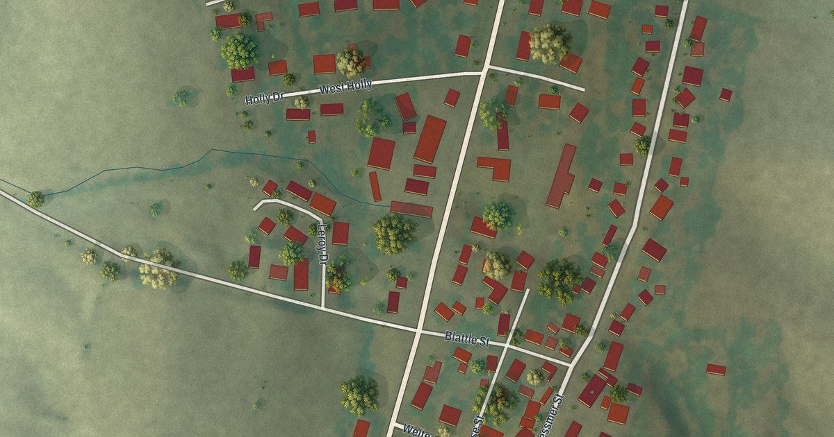
If you grew up in Airport Drive, or your family has a house off Demott Drive or North Main Street Road, this map puts your corner of Jasper County on one sheet. It's a modern aerial view of Airport Drive in Jasper County, Missouri, made from modern data and finished with a vintage look. Each red shape is a building, many roads carry their names, and the land is shaded in soft green. The view runs from Gum Road at the top down to West Fountain Road and Tuckahoe at the bottom.
Follow North Main Street Road, then Demott Drive
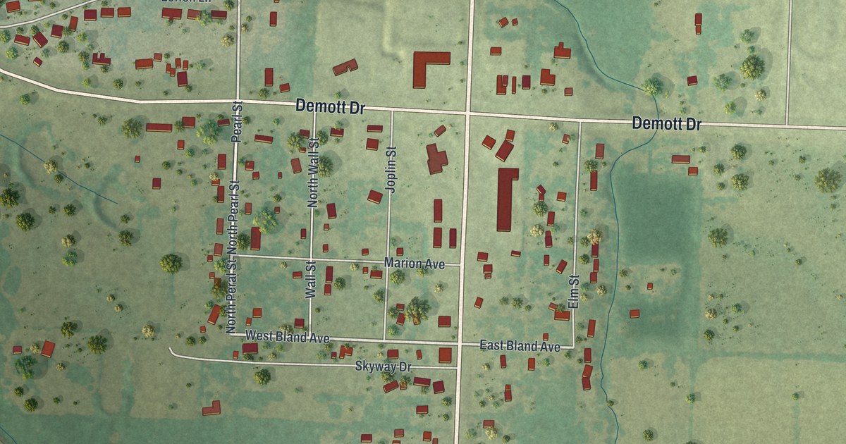
Start halfway down the sheet, where Demott Drive crosses North Main Street Road. North Main Street Road is the long straight line running up and down the right half of the map. Follow it north and Gum Road crosses near the top edge. Follow it south instead and the village fills in around you. Marion Avenue comes in from the left. West Bland Avenue and East Bland Avenue meet the road from both sides. Norton Drive turns off just below them. Keep going down. Past Richey Avenue, Betty Rose Lane sits off to the right. Below it the label changes to plain North Main Street, and East Fountain Road heads east just before the bottom edge.
Now go back to the crossing and head west on Demott Drive. Pearl Street and Wall Street run north and south just west of North Main Street Road, with homes packed along them. Demott Drive then bends up to the northwest. Fir Road comes in from the left near the bend. Just above the bend, a loop of curving streets holds a tight cluster of houses. Tabor Main Road, Park Circle and Leffen Lane are all printed there. Down at the bottom of the sheet, West Fountain Road runs along the lower edge, and Tuckahoe, the one neighborhood named on this print, sits in the bottom left corner. Up and to the right of that label, a second cluster of homes fills Birch Drive, Spruce Drive and Cottonwood Drive. Many of the roads are labeled, and each red shape is a building, so zoom in on the preview and look for yours.
Airport Drive counted 766 people in 2020
Airport Drive is a village in Jasper County, and the Census Bureau counted 766 people here in 2020. This print draws more than 1,100 buildings inside its frame, so you're seeing places out in the open country too, not just the village. Most of the red sits in a band along North Main Street Road and in the two clusters west of it. The upper right corner is almost empty, one wide stretch of pale ground with hardly a building on it. The ground shading comes from USGS elevation data. Look for thin dark lines winding through the fields. Those are the creeks. A long line also cuts across on a slant, from the top left corner down to the bottom of the sheet. That's the rail line.
From Gum Road down to West Fountain Road
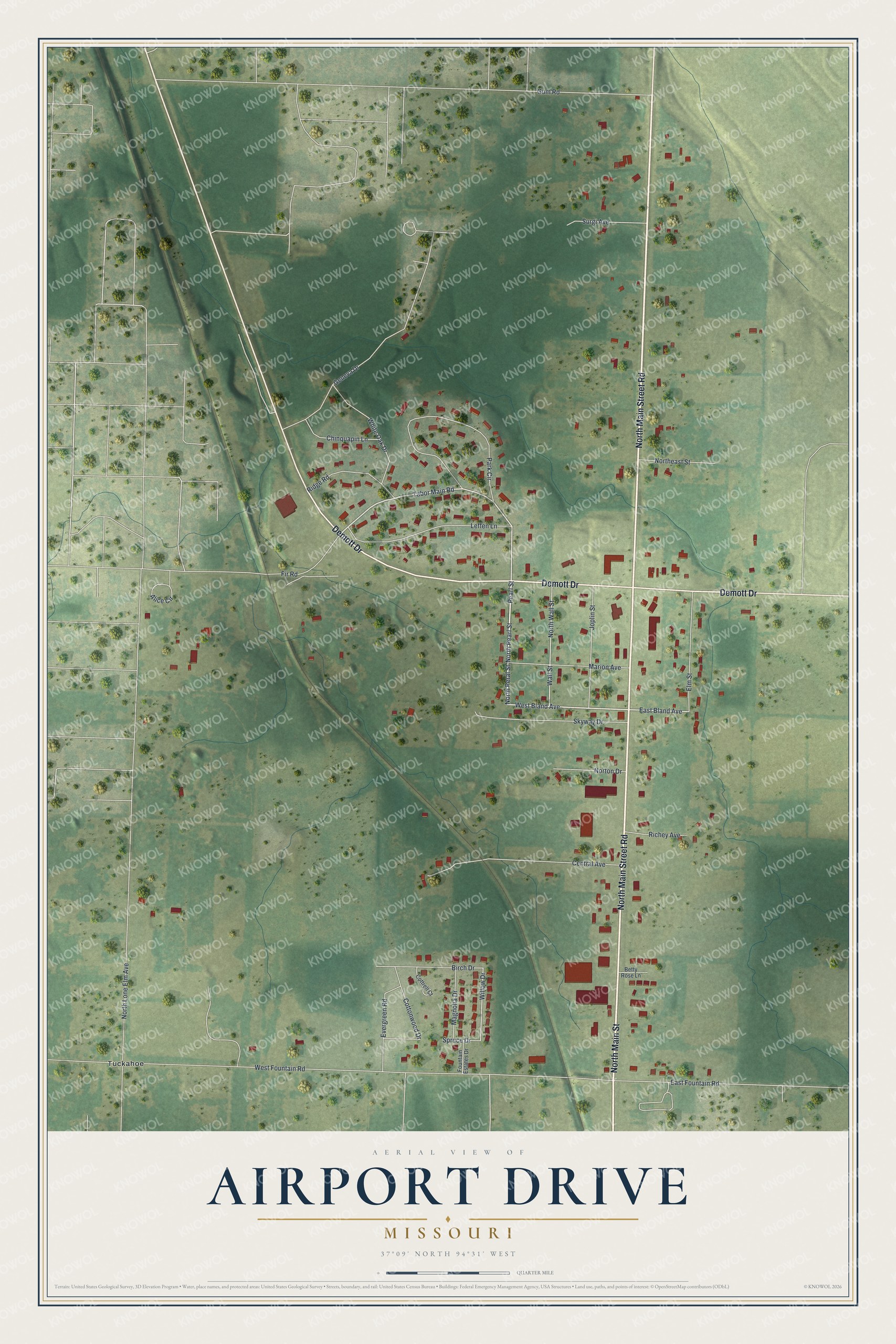
Created by KNOWOL in 2026, this Airport Drive map draws the roads in pale lines over the shaded ground. The title panel reads "Aerial View of Airport Drive, Missouri" with the coordinates 37°09' North, 94°31' West and a quarter-mile scale bar.
It suits a kitchen, an office or a den, and it makes a good gift for someone who grew up here, moved away for work, or still drives North Main Street Road every day. Open the preview, zoom in and find your street. See sizes and frames for the Airport Drive map.