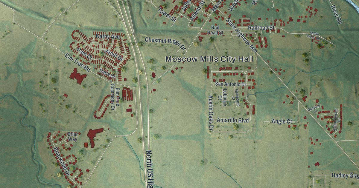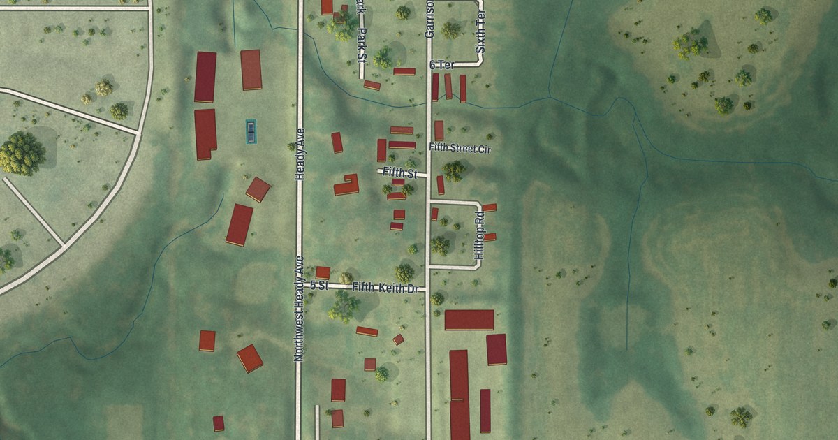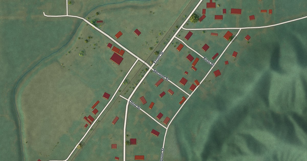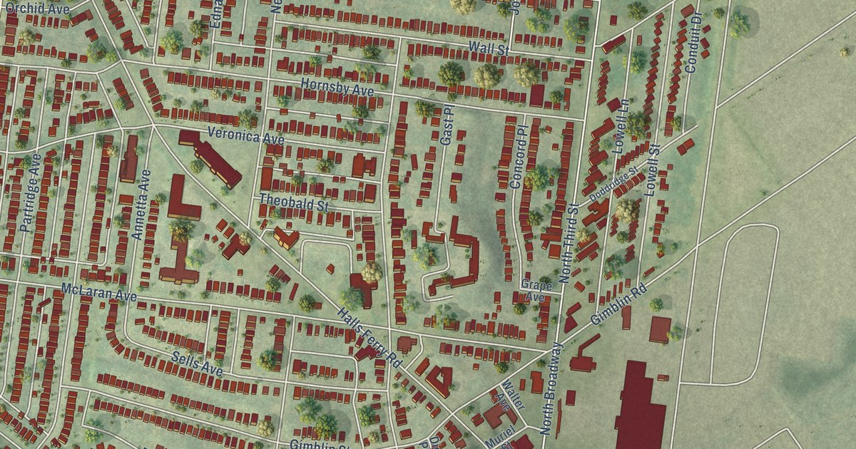
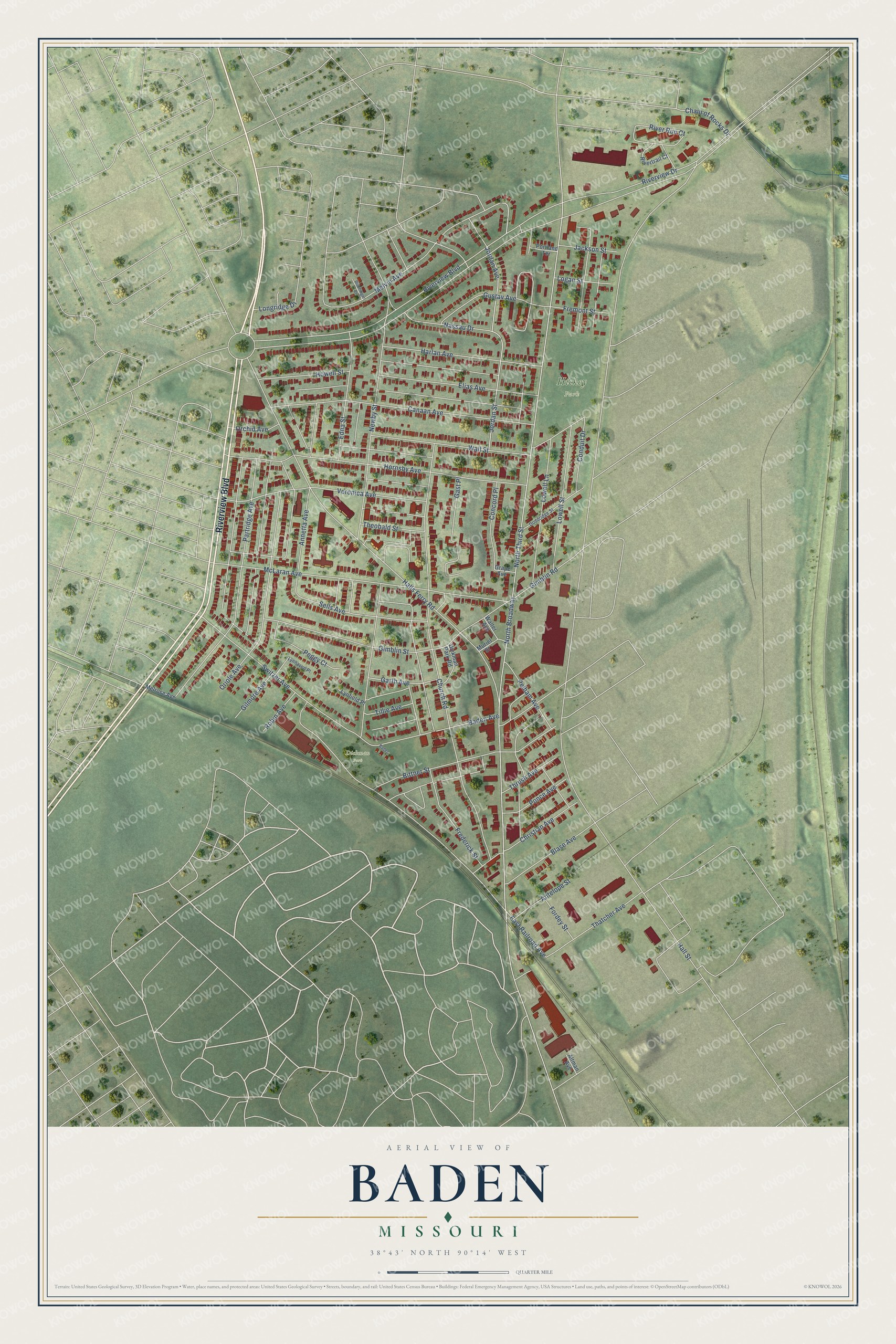
This beautifully detailed map of Baden, Missouri was created in 2026 using aerial imagery combined with modern topographical, census, street and landmark data. It’s a one-of-a-kind view of Baden that combines accurate data with a vintage aesthetic. The map shows every building in its true location, many of the roads carry their names, and the shaded topographic relief shows the shape of the land.
Explore an aerial view of Baden, Missouri
On the map you’ll find Hickey Park, Dickman Park, and North Broadway, along with Riverview Boulevard, Edna Street, Longridge Drive, East Railroad Avenue, Melvin Avenue, Newby Street, North Third Street, Hall Street, Church Road, and more. If you look closely you can even find your house accurately drawn in its correct location. Zoom in on the preview to look for yours.
Did You Know?
From Internet Archive: "The first German settler was Michael Mass, a Catholic from Baden, who had left his native city, Forchheim in Breisgau in 1816, made a fortune in Mexico and established his home in Quincy in the year 1829."
Baden is a place in City of St. Louis.
Take a closer look at the Baden map
Names on this map
These names are printed on this map.
Places: Hickey Park and Dickman Park.
Streets and roads: Riverview Boulevard, Edna Street, Longridge Drive, East Railroad Avenue, Melvin Avenue, Newby Street, North Broadway, North Third Street, Hall Street, Church Road, Switzer Avenue, Halls Ferry Road.
More street names, A to Z
Altman Avenue, Annetta Avenue, Antelope Street, Baden, Baden Avenue, Bittner Street, Blase Avenue, Canaan Avenue, Chain of Rocks Drive, Christian Avenue, Concord Place, Conduit Drive, Dickman Park Road, Dischinger Court, Doddridge Street, Elias Avenue, Fordey Street, Frederick Street, Fremont Street, Garth Avenue, Gast Place, Gilmore Avenue, Gimblin Road, Gimblin Street, Grape Avenue, Gustav Avenue, Harlan Avenue, Hornsby Avenue, Howell Street, Jackson Street, Jordan Avenue, Jordan Street, Logan Street, Lowell Lane, Lowell Street, Lynfield Place, Lynhaven Place, McLaran Avenue, Melrose Avenue, Muriel Street, Nassau Drive, Orchid Avenue, Oriole Avenue, Partridge Avenue, Peggy Court, Pelham Avenue, Ponce Avenue, Portland Terrace, River Run Court, Rivertrail Court, Riverview Drive, Robin Avenue, Sells Avenue, Thatcher Avenue, Theobald Street, Thrush Avenue, Tillie Avenue, Veronica Avenue, Wall Street, Walter Avenue.
See it on a wall
The Baden map as a framed print. Swipe for more.


This beautifully detailed map of Baden makes an attractive addition to your office, library, or den, and it can even be used to teach children the geography and history of the area. It also makes a great gift for anyone who grew up in Baden or moved away. When you’re done exploring, click here to get your copy of the Baden map.