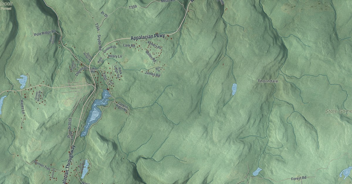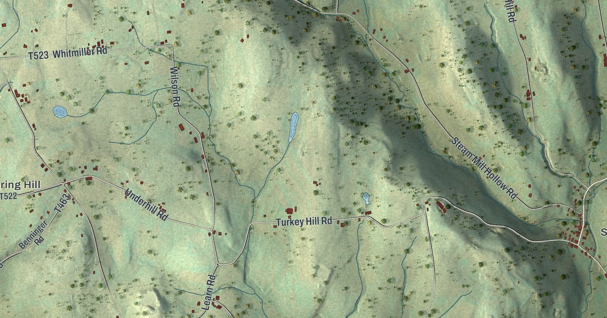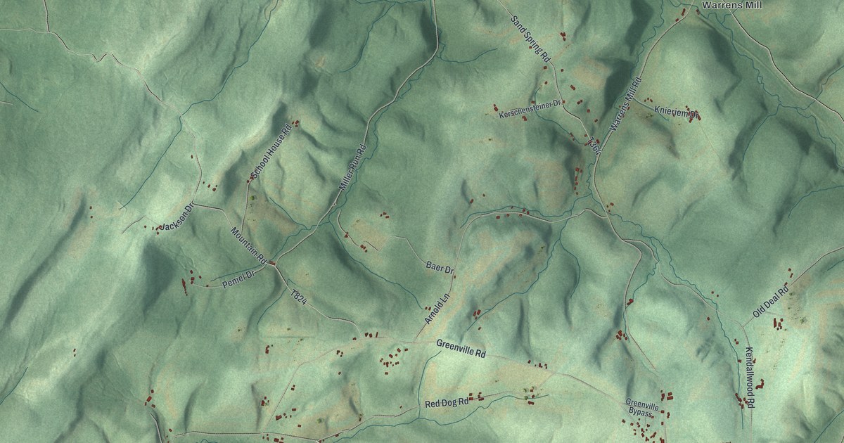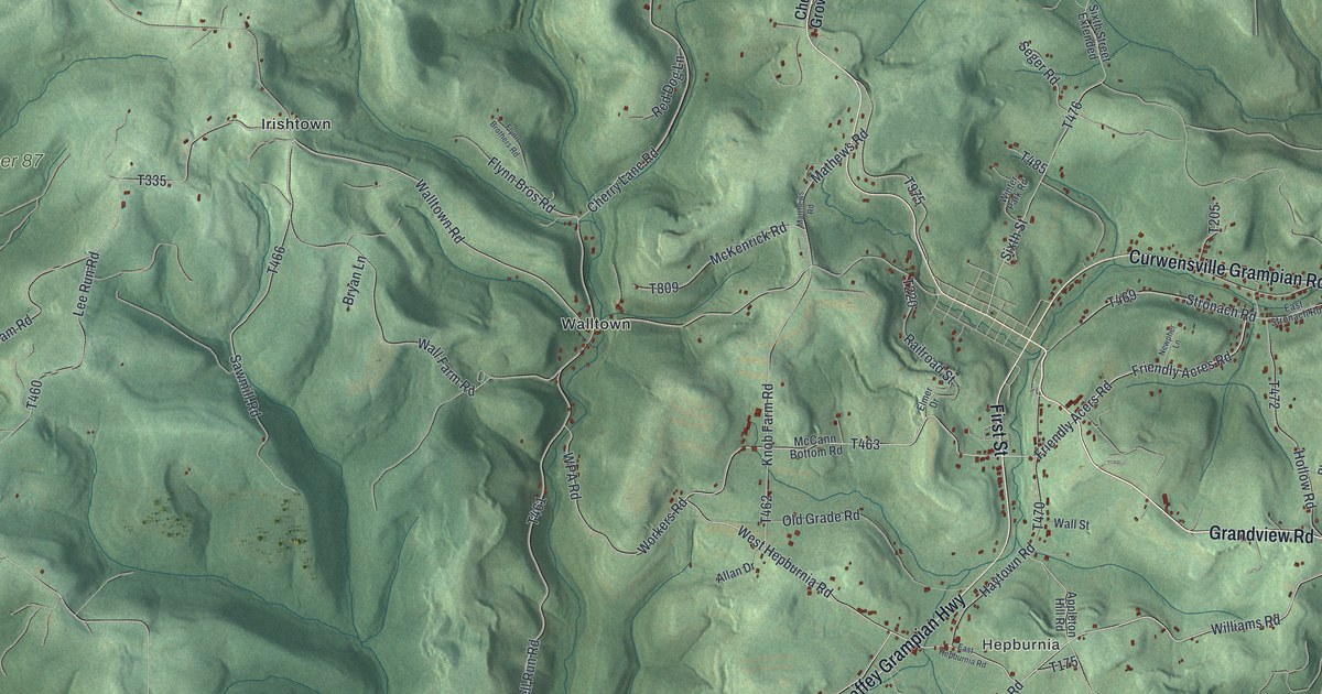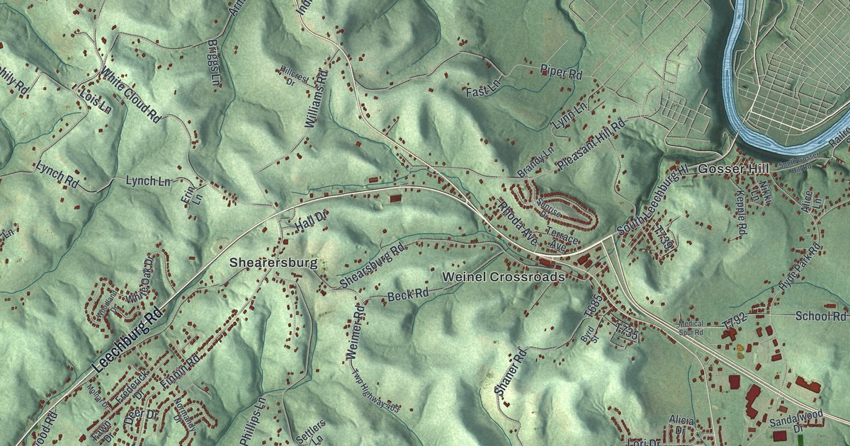
If you've got family in Allegheny Township, look for their road on this print. It's a modern aerial view of Allegheny in Westmoreland County, Pennsylvania, made with modern data and a vintage feel. Blue river bends frame green hills, with red buildings along the roads. Names like Garvers Ferry and Markle help you find familiar ground.
Leechburg Road and Allegheny's river country
On this map you'll find Leechburg Road, Northmoreland Park, Garvers Ferry, Markle, Shearersburg, Weinel Crossroads, Gosser Hill, Bagdad, Blackstone, White Cloud Road, Hulton Road, Indian Hill Road, and more. Each red shape is a building, so zoom in on the preview and look for yours.
The river bends on this print frame a landscape with a steelmaking story nearby. In neighboring Leechburg, the Siberian Iron Works opened in 1872. Its state historical marker says that in 1874, just two years later, the works became the first to power its operation with natural gas instead of coal. It made tin for cookware, canning and roofing. Skilled workers came from England and Wales to work there. The mill ran until 1931. Leechburg Road is printed on the map, so you can find it right on the print.
Keep Garvers Ferry and Markle close
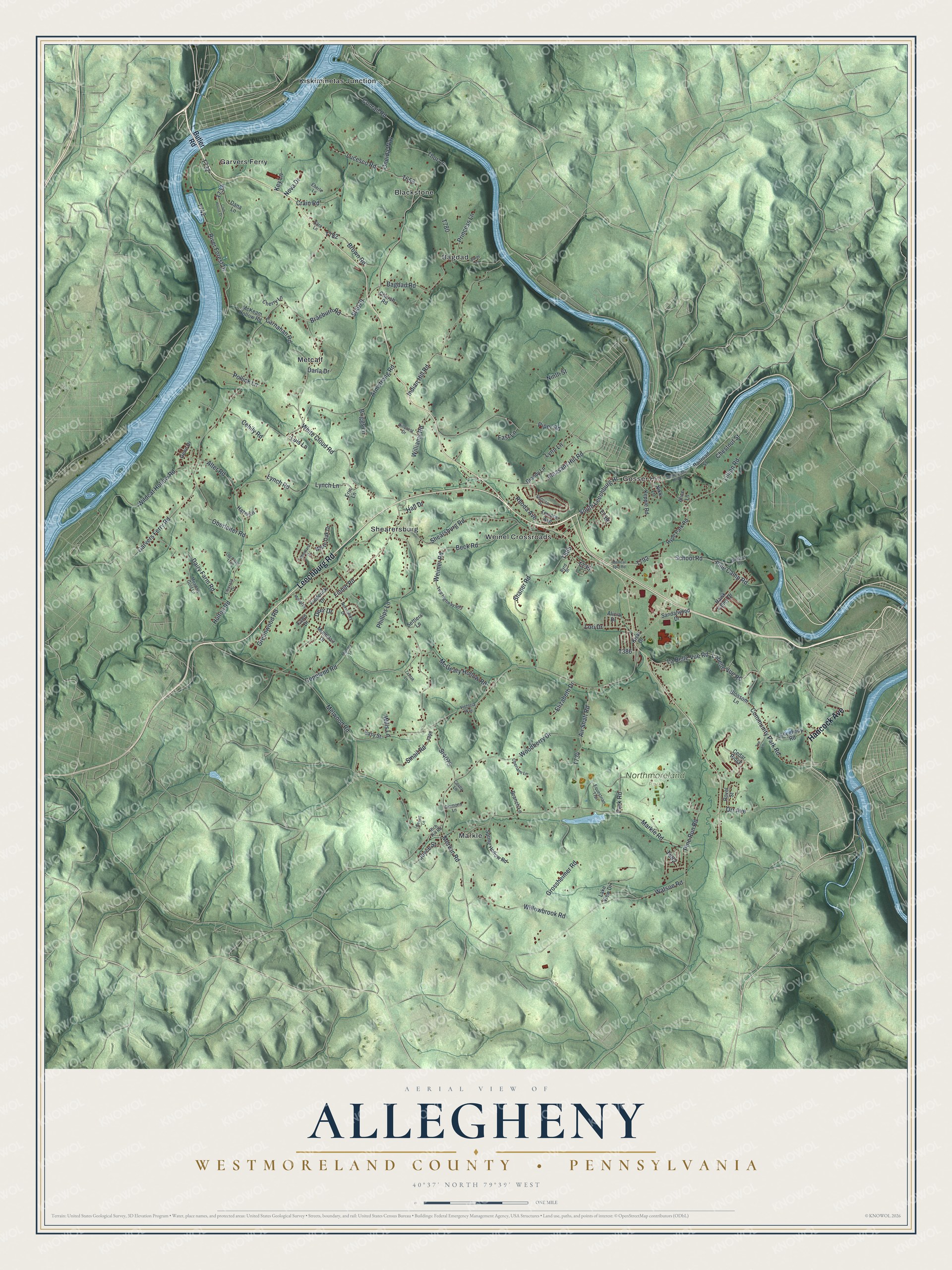
Created by KNOWOL in 2026, the print pairs shaded green hills with blue water and small red building shapes. A cream border surrounds the view. The title panel reads AERIAL VIEW OF ALLEGHENY, WESTMORELAND COUNTY • PENNSYLVANIA, with 40°37' NORTH 79°39' WEST below.
Hang it in a living room, home office or entryway. It's a gift for family who know Markle or Northmoreland Park, including those who've moved away. Open the preview and take a closer look at the places you know. See sizes and frames for the Allegheny, Westmoreland County map.