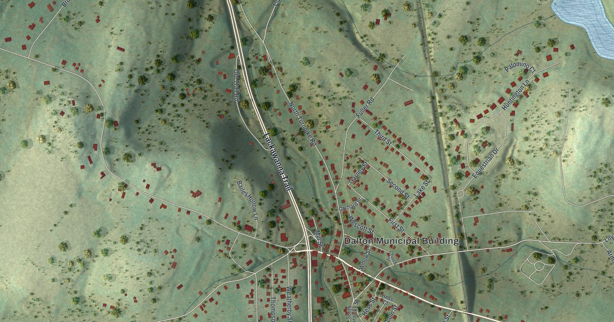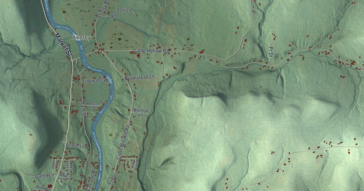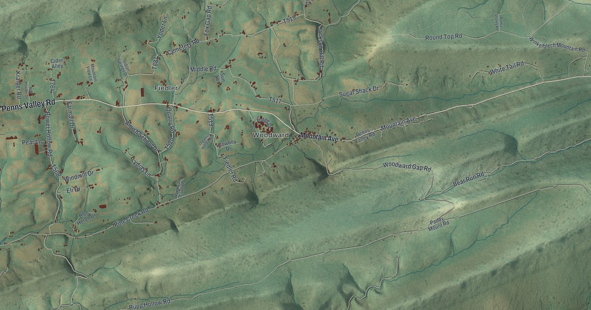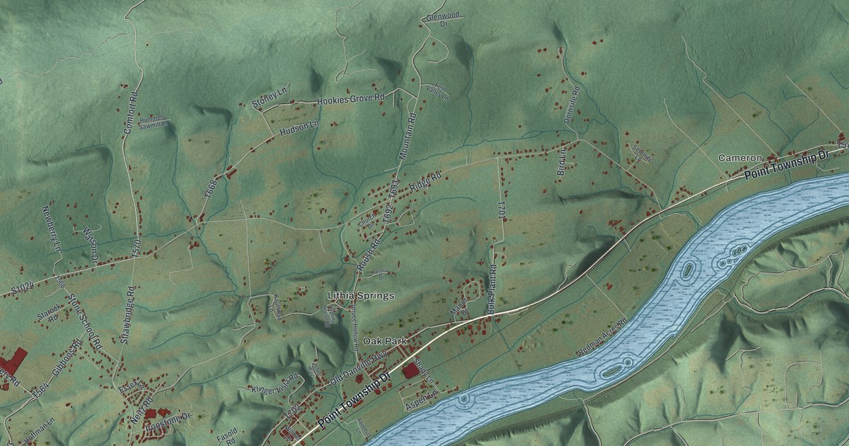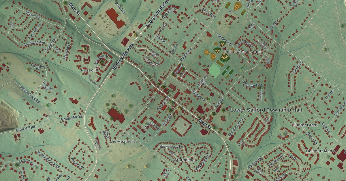
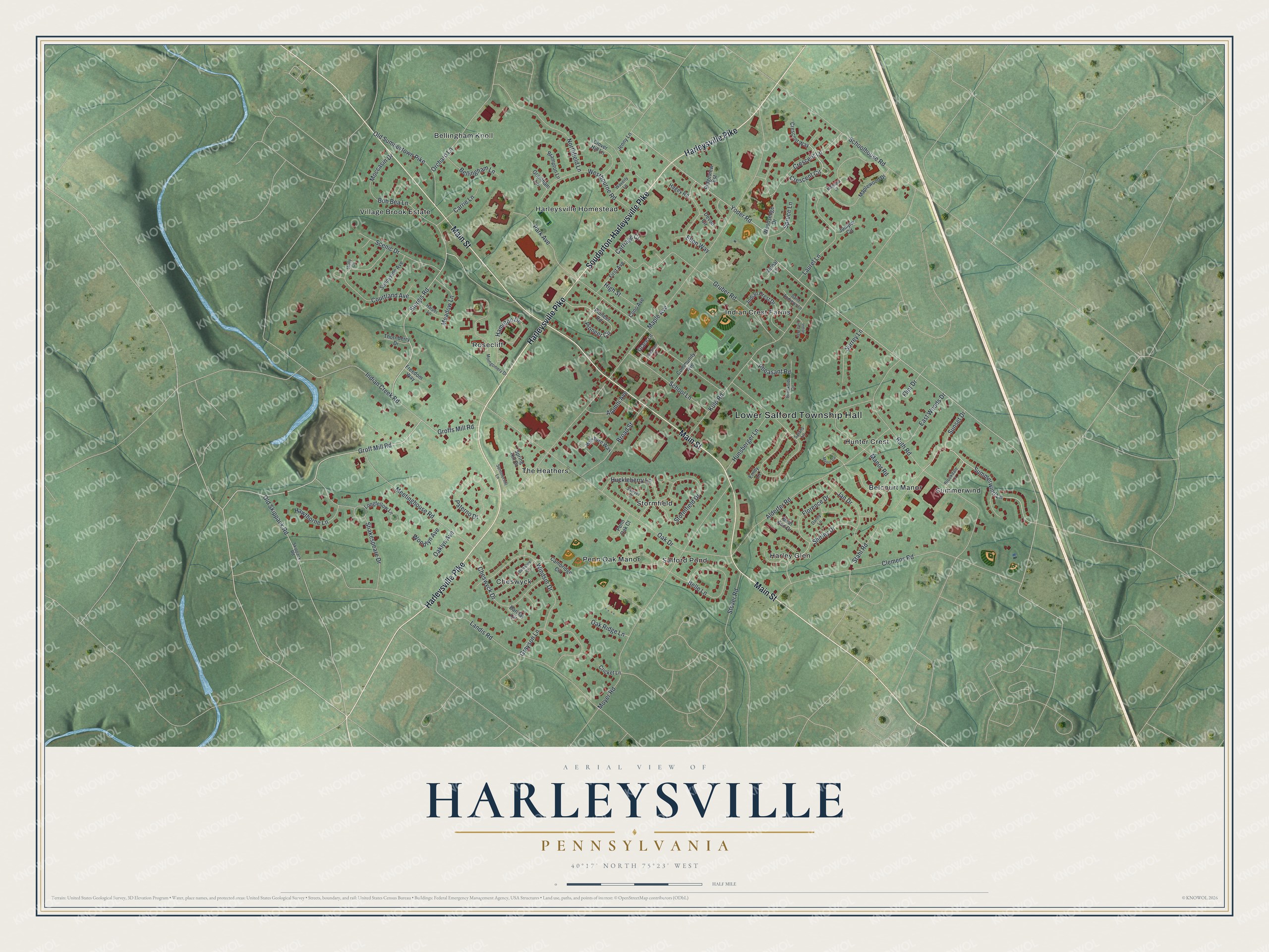
This beautifully detailed map of Harleysville, Pennsylvania was created in 2026 using aerial imagery combined with modern topographical, census, street and landmark data. It's a modern aerial view of Harleysville in Montgomery County, Pennsylvania, that combines modern data with a vintage aesthetic. The roads feature printed names, and if you look closely you can find your exact house accurately shown in its correct location.
Explore an aerial view of Harleysville, Pennsylvania
On this map you'll find Lower Salford Township Hall, Cheswyck, Bellingham Knoll, Summerwind, Salford Pond, Indian Crest Farms, Rosecliff, Village Brook Estate, The Heathers, Harley Glen, Hunter Crest, Harleysville Homestead, and more. Each red shape is a building, so zoom in on the preview and look for yours.
Here is a piece of Harleysville history. Harleysville is named for Samuel Harley, who built a tavern and store about 1790 and is regarded as the founder of the place. His son Abraham Harley held the township elections at the house, and in 1840 he got a post office opened, when the nearest one had been at Sumneytown, five miles away. During the Revolution the only house in the place belonged to Nicholas Schwenk, a blacksmith. That's from the History of Montgomery County.
Harleysville is a community in Montgomery County. The Census Bureau counted 9,899 people here in 2020.
Take a closer look at the Harleysville map
Names on this map
These names are printed on this map.
Places: Lower Salford Township Hall, Cheswyck, Bellingham Knoll, Summerwind, Salford Pond, Indian Crest Farms, Rosecliff, Village Brook Estate, The Heathers, Harley Glen, Hunter Crest, Harleysville Homestead, Stormfield, Belcourt Manor and Penn Oak Manor.
Streets and roads: Harleysville Pike, Souderton-Harleysville Pike, Main Street, Groff Mill Road, Summerwind Lane, Crescent Circle, Yoder Road, Sturgis Road, Old Sumneytown Pike, Maple Avenue, Park Avenue, Landis Road.
More street names, A to Z
Alderfer Road, Alumni Avenue, Barclay Circle, Belle Lane, Bellingham Lane, Berkshire Circle, Beth Ann Drive, Bob Bea Lane, Brampton Lane, Broad Street, Brookdale Lane, Brookside Circle, Cambridge Circle, Carriage Court, Carrie Lane, Cheswyck Drive, Clemens Road, Clover Hill Lane, Community Avenue, Cono Avenue, Courtland Avenue, Crescent Lane, Crescent Way, Cricket Lane, Danny Lane, Devon Circle, East Woods Drive, Ellen Way, Emily Lane, First Avenue, Flint Drive, Florence Drive, Freedom Way, Grace Lane, Grantham Lane, Grayson Lane, Groffs Mill Road, Gruber Road, Hagey Road, Hamilton Drive, Harper Lane, Hawthorne Lane, High Street, Holly Circle, Huckleberry Lane, Hunsberger Lane, Indian Creek Road, Indian Crest Drive, Indian Crest Way, Jan Drive, Jenny Lane, Juniper Circle, Kulp Road, Laurel Lane, Longfellow Lane, Madison Lane, Magnolia Court, Manor Circle, Manor Road, Maplewood Drive, Meadow Lane, Meetinghouse Road, Moccasin Drive, Montgomery Drive, Moyer Road, Northfield Lane, Oak Drive, Oaklyn Avenue, Oak Ridge Lane, Old Skippack Road, Orchard Lane, Paterno Drive, Penn Oak Court, Pheasant Road, Pioneer Circle, Pioneer Road, Ridgeview Est, Ruth Road, Saint Andrews Lane, Sarahs Lane, Sawyer Drive, Scenic Drive, Schoolhouse Road, School Lane, Shakespeare Drive, Shirley Drive, Skippack Road, Spring Hill Drive, Spruce Lane, Stahl Road, Stormfield Drive, Stover Road, Summerhill Lane, Sunnyside Avenue, Sunset Drive, Surrey Lane, Thornberry Drive, Vernal Lane, Waverly Lane, Westbourne Road, Wilshyre Way, Windsor Drive, Woodlyn Avenue, Woodsedge Drive.
See it on a wall
The Harleysville map as a framed print. Swipe for more.


Created by KNOWOL in 2026. The buildings are small red shapes, the roads carry their printed names, and shaded relief shows the shape of the land. The title panel reads "AERIAL VIEW OF HARLEYSVILLE, PENNSYLVANIA" with 40°17' NORTH 75°23' WEST.
It suits a den, a classroom or a front hall, and it makes a gift for anyone with Harleysville roots. Open the preview and find the block you know. See sizes and frames for the Harleysville map.