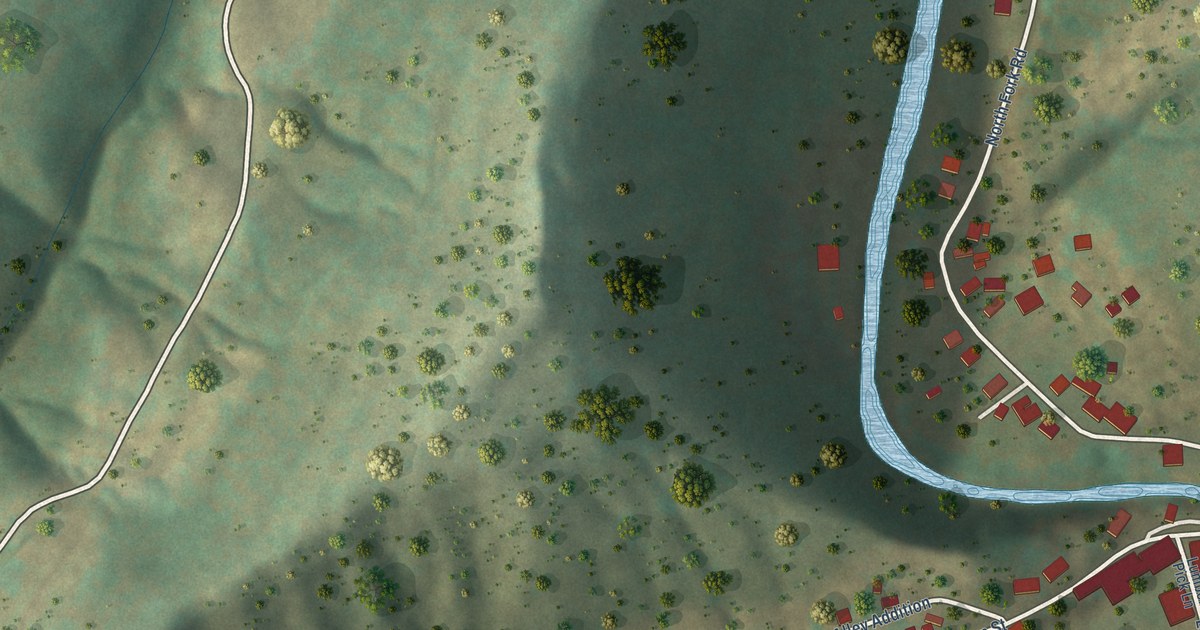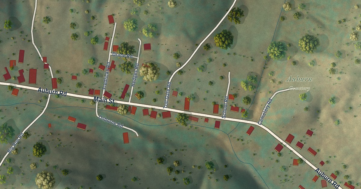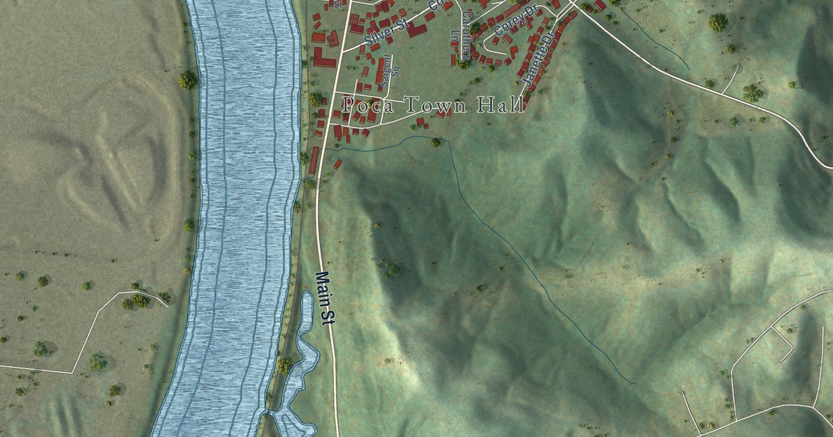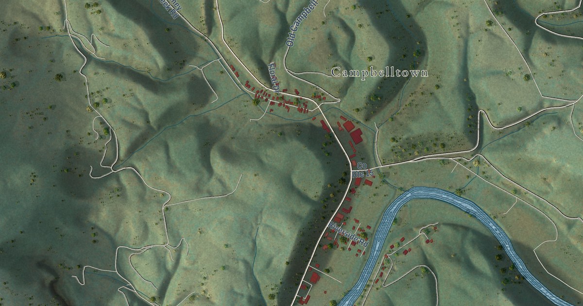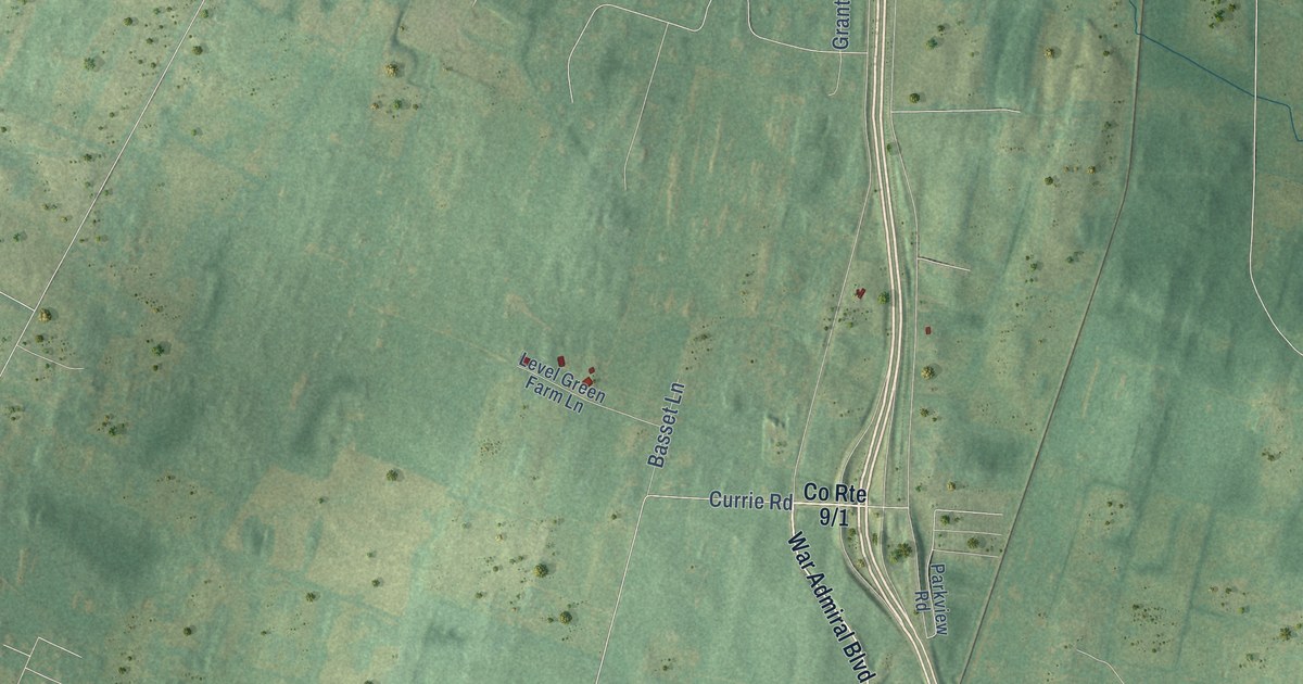
If you grew up in Ranson, this print gives you familiar streets to find. It's a modern aerial view of Ranson in Jefferson County, West Virginia, made with modern data and a vintage feel. Red buildings stand out against soft green land. Bardane and Jefferson Village are printed as neighborhood names.
Ranson's streets and its industrial roots
On this map you'll find North Mildred Street, North Fairfax Boulevard, Flowing Springs Road, Charles Town Road, East Fifth Avenue, East Tenth Avenue, West Third Avenue, Railroad Avenue, Bardane, Jefferson Village, and more. Each red shape is a building, so zoom in on the preview and look for yours.
The City of Ranson traces the town's start to 1910. It describes Ranson as Jefferson County's industrial hub, backed by a booming manufacturing economy. The founders saw it as an ideal place for industry and business. You can pick out printed names such as North Mildred Street and East Fifth Avenue among the red buildings.
Keep Ranson close to home
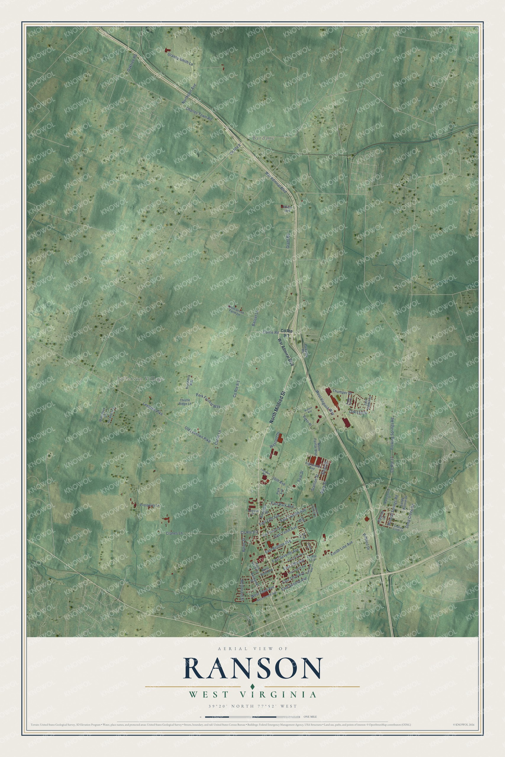
Created by KNOWOL in 2026, the print pairs muted green terrain with red buildings, fine road lines and a cream border. The title panel reads AERIAL VIEW OF RANSON, WEST VIRGINIA, with 39°20' NORTH 77°52' WEST below.
Hang it in a living room, office or entryway. It's a gift for someone with family in Jefferson Village or roots in Ranson. Open the preview to find a familiar street and take a closer look at the print. See sizes and frames for the Ranson map.