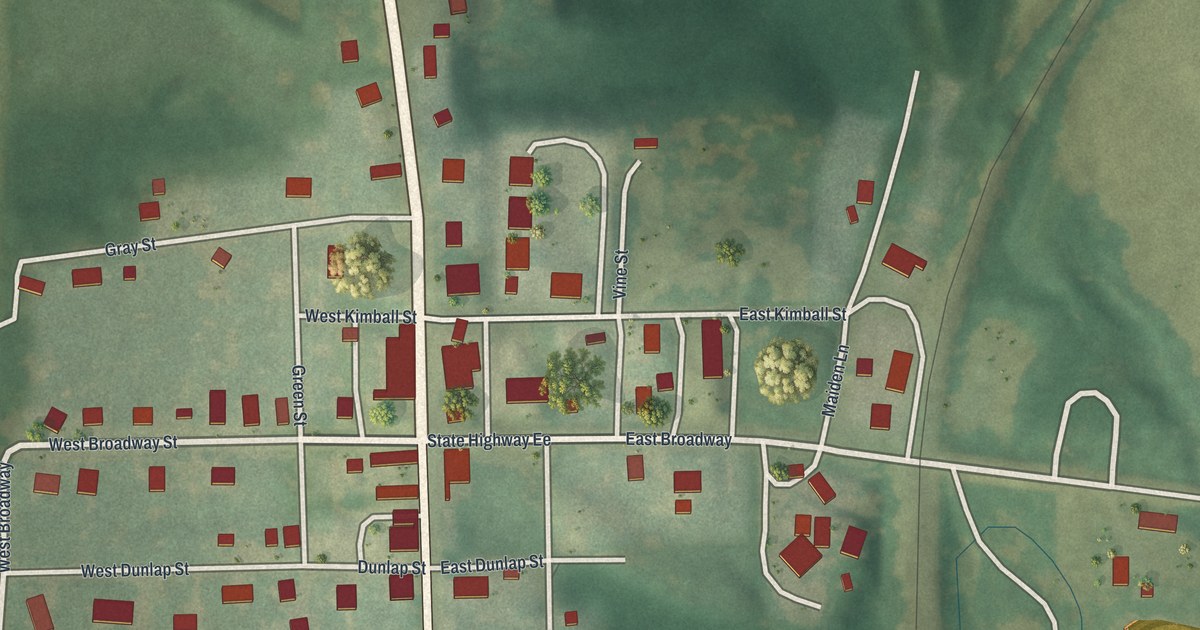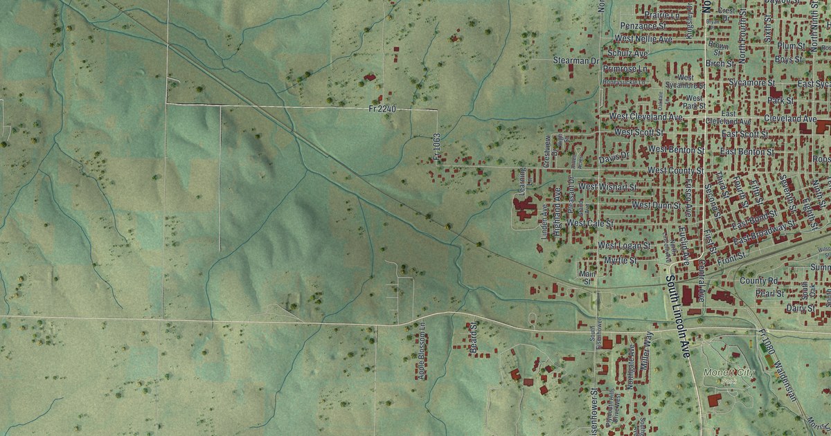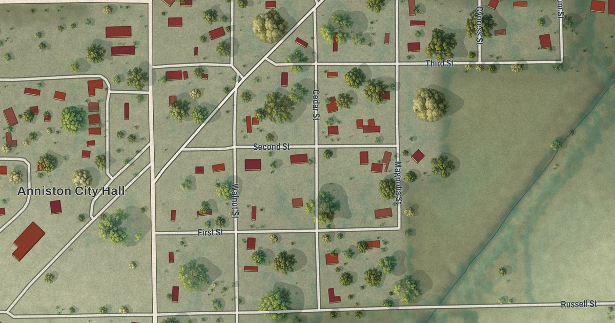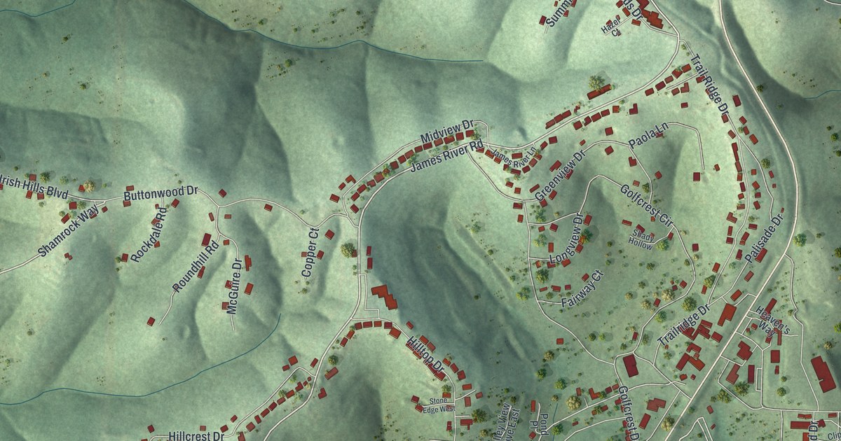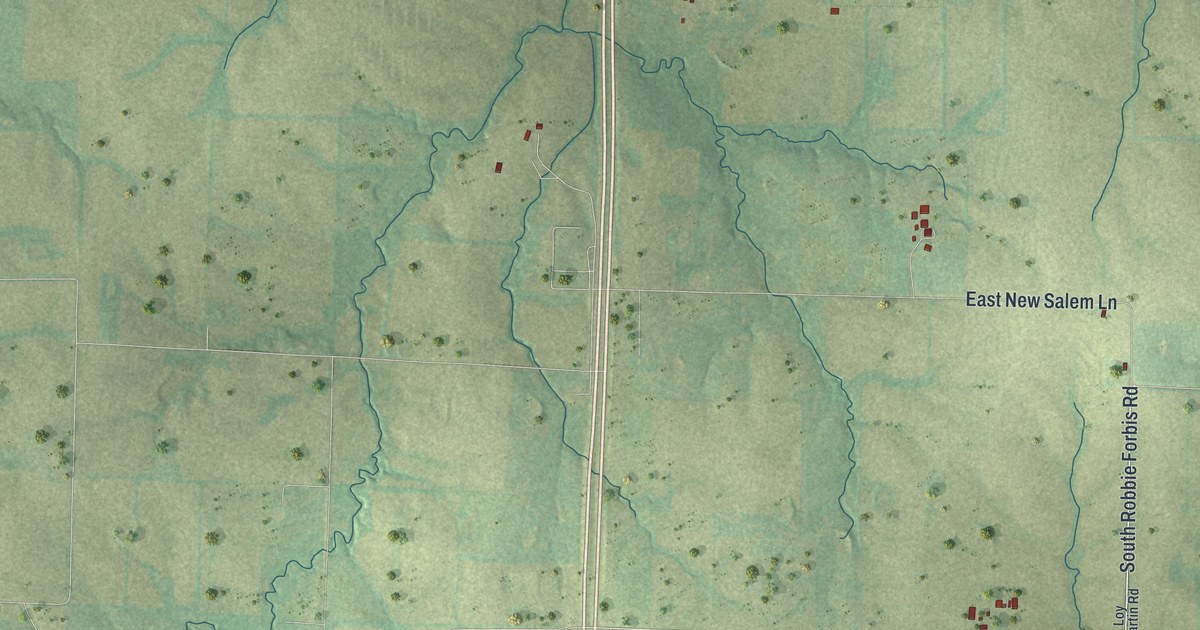
If you grew up in Ashland, or you still drive Henry Clay Boulevard most days, this map was made with you in mind. It's a new aerial view of Ashland in Boone County, Missouri, drawn from modern data and given a vintage look. The town sits low on the sheet, with more than 2,700 red building shapes packed along its streets. Green wooded hills and winding creeks fill the land all around it. A long, straight highway runs up the middle of the whole map.
Main Street, Broadway and Henry Clay Boulevard
On this map you'll find North Main Street, South Main Street, West Broadway, East Broadway, Henry Clay Boulevard, Church Street, Ash Street, Oak Street, South Walnut Street, Tandy Street, Perry Avenue, Burnam Avenue, Pacer Drive, East Liberty Lane, East Clellie Harmon Road, and more. Each red shape is a building, so zoom in on the preview and look for yours.
Ashland on the Road from Columbia
Ashland's place on the road goes back a long way. The History of Boone County, written in 1882, tells of a plan to grade and gravel four roads out of Columbia: one to the North Missouri Railroad, one to Rocheport, one toward the Callaway County line in the direction of Fulton, and one to Claysville by way of Ashland.
The same book tells of a church started at Ashland. Its members had just finished what the writer called "an excellent church edifice." On the map today, a long, straight highway runs through the hills, and Ashland's streets spread out on both sides of it.
A Map of Ashland to Keep Close
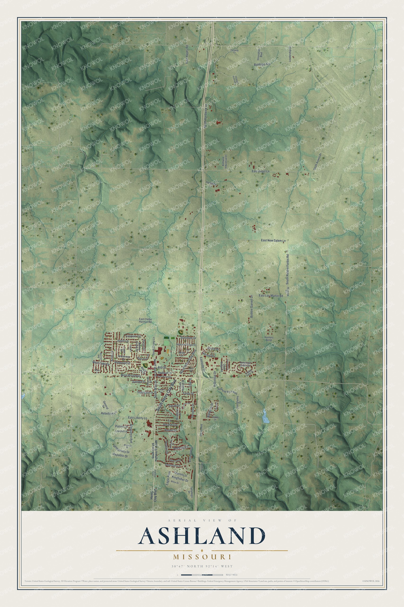
Created by KNOWOL in 2026, the print shows Ashland from above in soft greens, with shaded hills, thin blue creeks and red buildings. The title panel at the bottom reads "Aerial View of Ashland, Missouri," with the coordinates 38°47' North 92°14' West.
It fits a living room, a front hall or a home office. It's a good gift for someone who grew up near Main Street and Broadway and moved away, or for a family new to Ashland. Open the preview and find your street. See sizes and frames for the Ashland map.