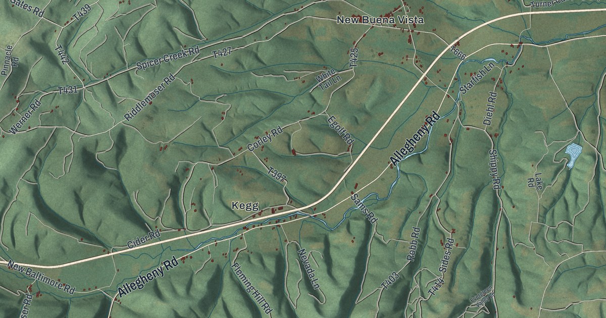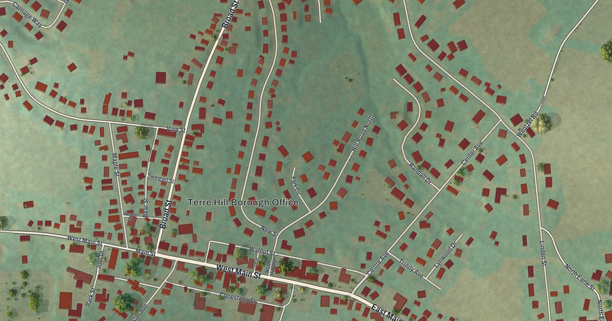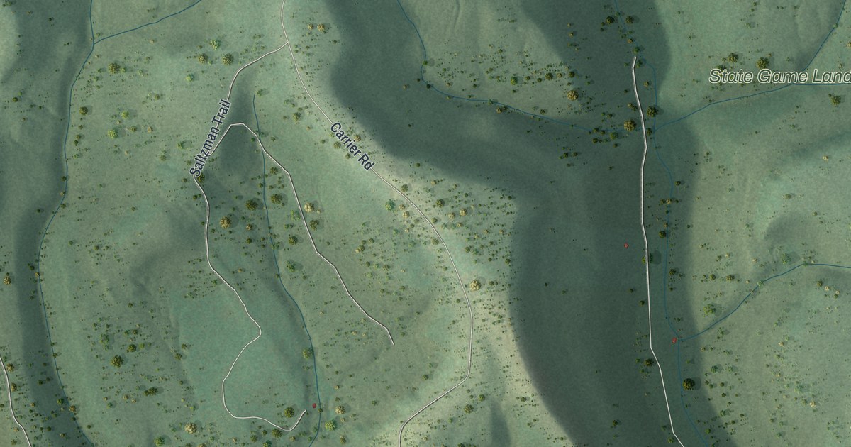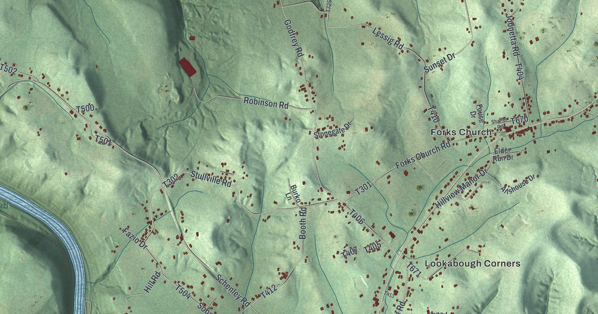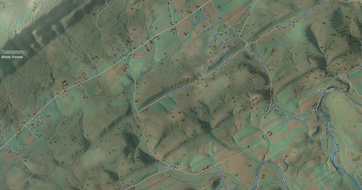
If you grew up along Academia Road, or out near Walnut, Nook or Doyles Mills, this map shows the valley you know. It's a modern aerial view of Beale Township in Juniata County, Pennsylvania, made from modern data and given a vintage look. The long ridge of Tuscarora State Forest crosses the top left. Farm fields fill the valley below it, and a winding blue creek loops past Academia on the right. Small red shapes mark the buildings along each road.
Walnut, Nook and Doyles Mills on the map
On this map you'll find Academia Road, Academy Road, Groninger Valley Road, McCoysville Road, Pomeroy Road, Rock Church Road, Indian Mound Road, Cider Press Road, Spruce Hill Road, Burd Hollow Road, Walnut, Nook, Doyles Mills, Academia, Tuscarora State Forest, and more. Each red shape is a building, so zoom in on the preview and look for yours.
Tuscarora Academy at Academia
Tuscarora Academy is at Academia, near where Academy Road meets Academia Road. Its building went up in 1816 and was used as a church until 1849. The academy itself started in 1836 and taught students until 1912, a run of 76 years. The state historical marker for the school gives these dates. Today the building is on the National Register of Historic Places.
How the Beale family came to Academia
Beale Township was split off from Milford Township on February 8, 1843. The 1886 county history says the name honored one of the oldest families in the county. Most of all, it honored John Beale. The book calls him kind-hearted and a patriot. The family's roots here go back much further. In 1760, William Beale of Chester County paid thirty pounds for land in the Tuscarora Valley. The papers for that land start with a bill of sale from 1754. The county history calls that 1754 bill of sale the oldest land paper found in Juniata County. The land is near Tuscarora Academy.
The Beales were Quakers, and their family had come over with William Penn. When William's sons David and Thomas moved to Academia, there was no road. They had to cut a path to get there. The place where they crossed the creek has been called the Quaker Ford ever since.
Keep Academia and Doyles Mills close
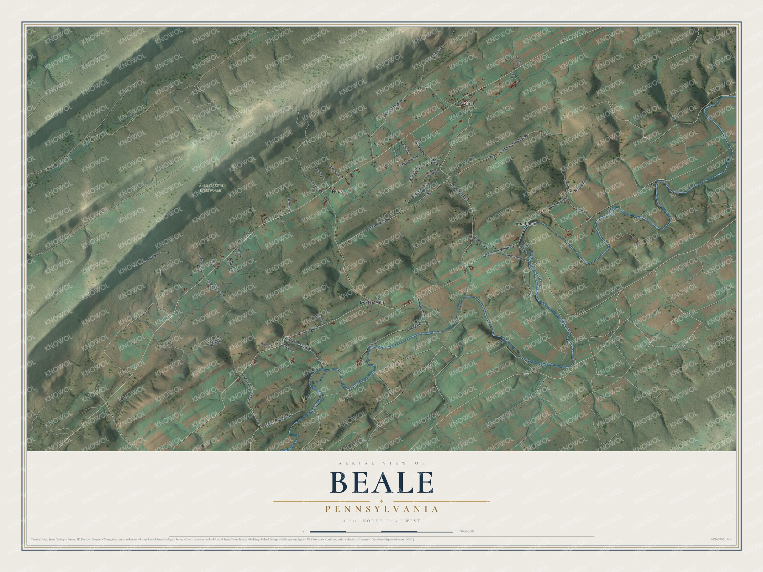
Created by KNOWOL in 2026, this print shows Beale's ridges and farm valleys in soft greens and browns, with a winding blue creek and small red buildings. The cream title panel reads "Aerial View of Beale, Pennsylvania" above the coordinates 40°30' North 77°31' West.
It suits a farmhouse kitchen, a den or a hallway. It's a gift for anyone who grew up near Tuscarora Academy or on a farm road outside Walnut, and for family who moved away from the valley. Open the preview and find the road you know. See sizes and frames for the Beale map.