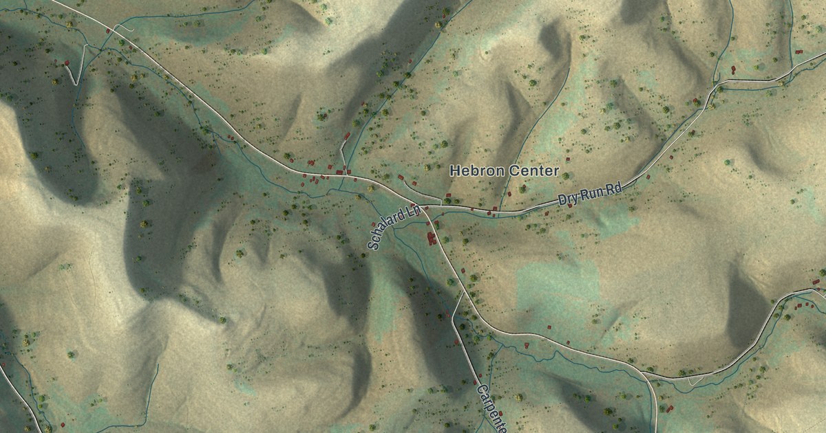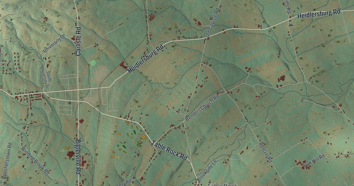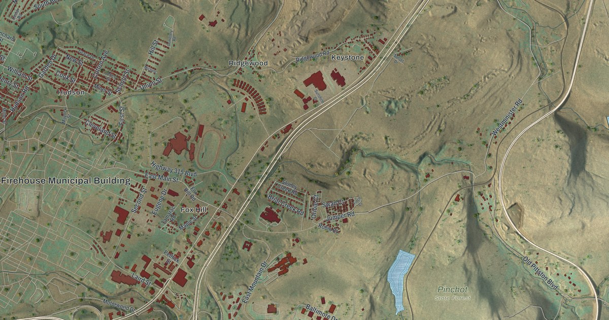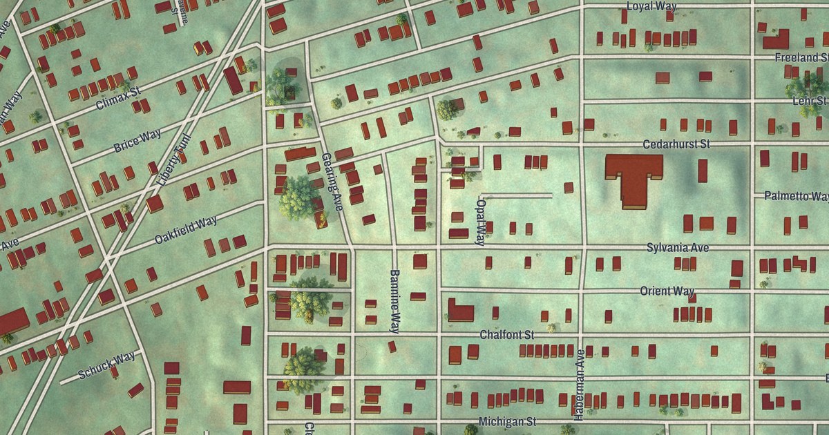
If you grew up on Climax Street or spent summer days in McKinley Park, this map is for you. It's a modern aerial view of Beltzhoover in Allegheny County, Pennsylvania, made from modern data and given a vintage look. Rows of small red buildings fill the tight street grid. Below them, the green hills of McKinley Park open up, with ball fields tucked into the slope. Near the top sits the Warrington Recreation Center.
When Beltzhoover Was Its Own Borough
On this map you'll find East Warrington Avenue, Climax Street, Estella Avenue, Michigan Street, Sylvania Avenue, Cedarhurst Street, Chalfont Street, Haberman Avenue, Delmont Avenue, Montooth Street, Bernd Street, Industry Street, McKinley Park, Warrington Recreation Center, and more. Each red shape is a building, so zoom in on the preview and look for yours.
In 1889, Beltzhoover sat outside Pittsburgh. It was a borough of its own on the South Side. The 1889 History of Allegheny County put it plainly. Just past the city line, it said, were "the boroughs of Knoxville and Beltzhoover and the village of Mount Oliver." The book called them "nearly, if not quite, ready to drop into the city's arms." It guessed the city line would soon stretch far enough to take in Beltzhoover. Only one thing stood in the way, the writer said. That was the city's heavy debt.
The Beltzhoover Name in the Early County Records
The Beltzhoover name shows up early in the county's records. The same book lists early settlers south of the Ohio and Monongahela rivers. Under the year 1798, it names a Jacob Beltzhoover. A Henry Beltzhoover turns up in 1810, picked for a county panel on whether to split a township. The book tells Beltzhoover's own story in its chapter on Lower St. Clair township, next to West Liberty and Knoxville. On the map, the old borough's homes still stand close together, with rooftops packed along Sylvania Avenue, Chalfont Street and Michigan Street.
From Climax Street to McKinley Park
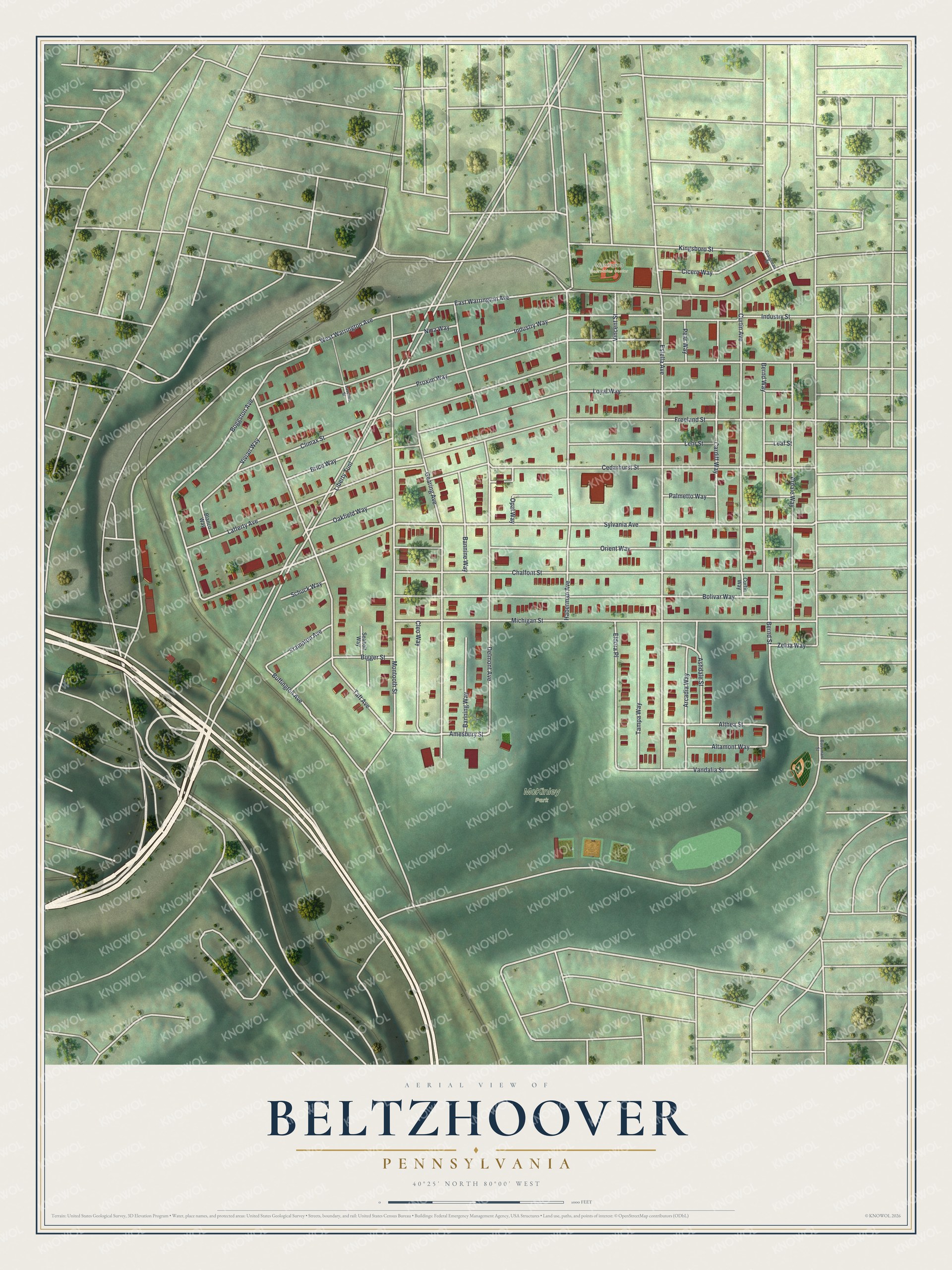
Created by KNOWOL in 2026, this print shows Beltzhoover from above in soft greens, with red buildings, pale streets and shaded hills. The title panel reads "Aerial View of Beltzhoover, Pennsylvania" with 40°25' North 80°00' West set beneath it.
It suits a living room, a kitchen or a home office. It's a good gift for someone who grew up near McKinley Park and moved away, or for a family with roots on East Warrington Avenue. Open the preview and find your street. See sizes and frames for the Beltzhoover map.