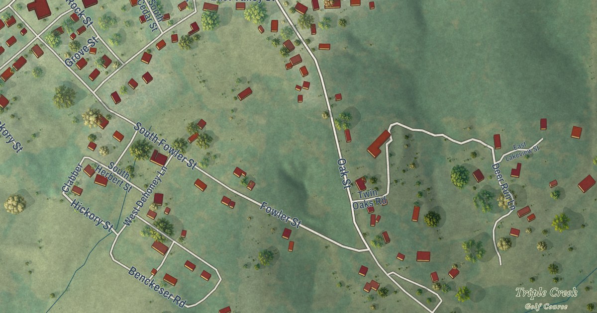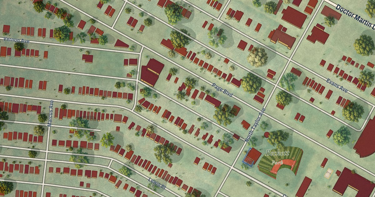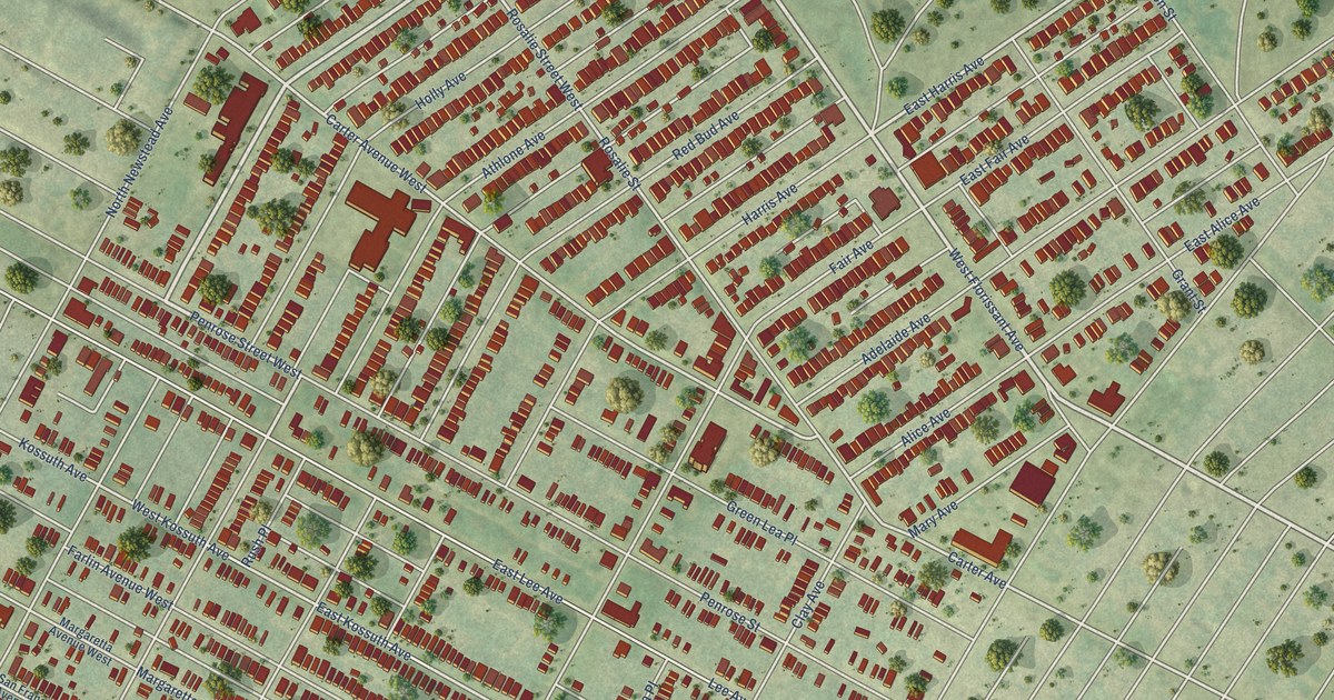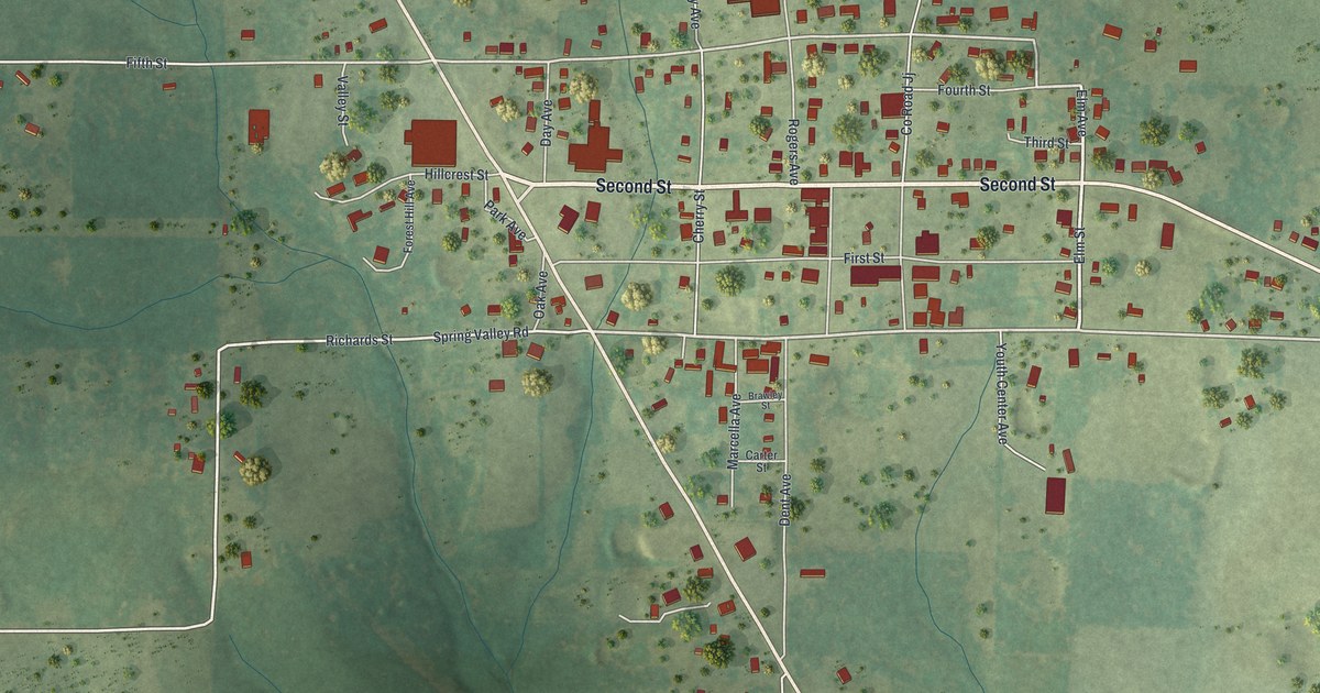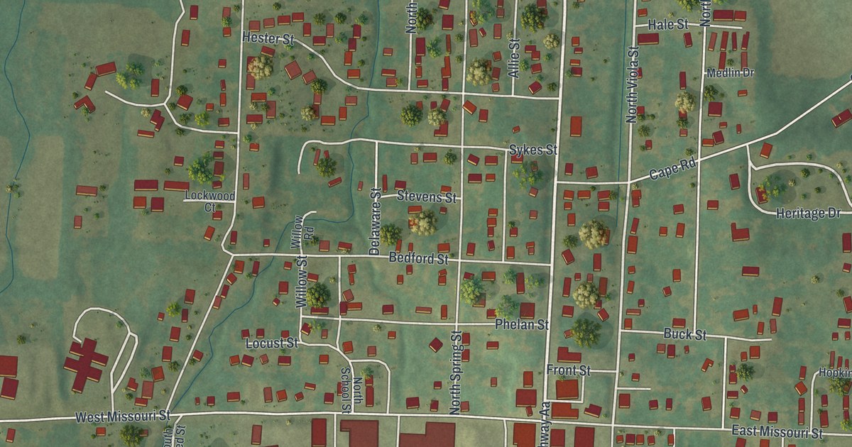
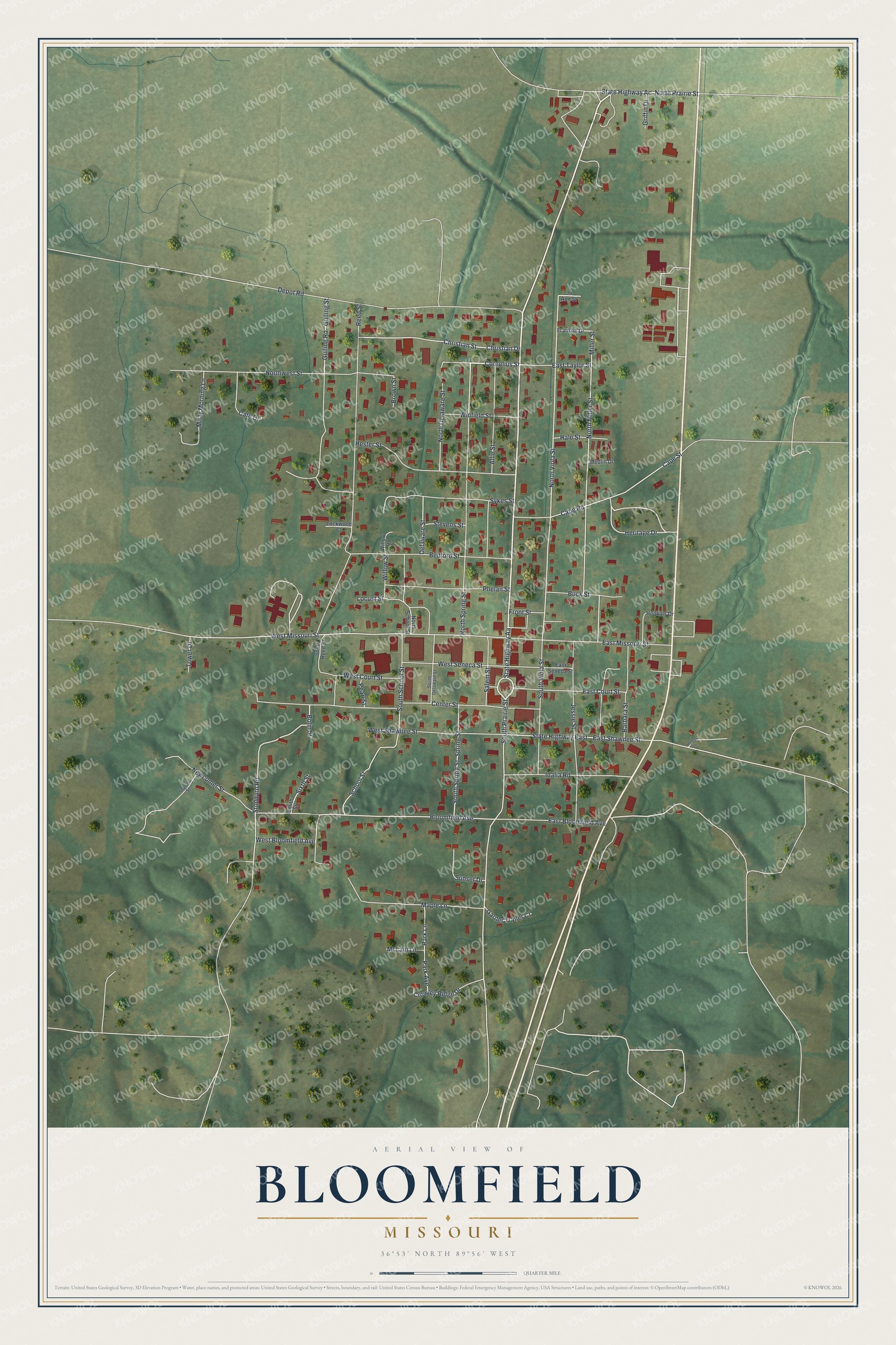
This beautifully detailed map of Bloomfield, Missouri was created in 2026 using aerial imagery combined with modern topographical, census, street and landmark data. It’s a one-of-a-kind view of Bloomfield that combines accurate data with a vintage aesthetic. The map shows every building in its true location, many of the roads carry their names, and the shaded topographic relief shows the shape of the land.
Explore an aerial view of Bloomfield, Missouri
On the map you’ll find North Prairie Street, South Prairie Street, Cornelius Street, North Viola Street, Stoddard Road, Heritage Drive, Christian Drive, State Highway Aa, Reed Street, West Missouri Street, Miller Street, North Miller Street, and more. If you look closely you can even find your house accurately drawn in its correct location. Zoom in on the preview to look for yours.
Did you know this piece of Bloomfield, Missouri history?
The first permanent settlers came to Bloomfield in 1824. They built on the site of an earlier Native American community. The town was platted in 1835 and named for the wildflowers that grew nearby. Its post office has carried the name since 1836.
Take a closer look at the Bloomfield map
Street names on the Bloomfield, Missouri map
These names are printed on the map of Bloomfield, Missouri.
Streets and roads: North Prairie Street, South Prairie Street, Cornelius Street, North Viola Street, Stoddard Road, Heritage Drive, Christian Drive, State Highway Aa, Reed Street, West Missouri Street, Miller Street, North Miller Street.
More street names, A to Z
Allie Street, Barbara Street, Bedford Street, Bloomfield Avenue, Bolin Street, Brown Street, Buck Street, Cape Road, Cape Street, Cate Drive, Center Street, Christian Street, Crowley Ridge Drive, Delaware Street, Depot Road, East Bloomfield Avenue, East Court Street, East Missouri Street, East Seneca Street, East Shawnee Street, East Taylor Street, Franklin Drive, Front Street, Garner Trailer Court, Griffin Drive, Guiling Road, Guiling Street, Hale Street, Hester Street, Hopkins Drive, Idalia Road, Jessie Street, Jo Ann Street, Lockwood Court, Locust Street, Maple Lane, McLain Lane, Medlin Drive, Melbas Lane, Misty Morning Lane, Newcomer Street, North Delaware Street, North School Street, North Spring Street, Northwest Street, Park Avenue, Park Lane, Pearl Street, Phelan Street, Salem Street, School Street, Sharon Street, Sixth Street, Smith Street, South Delaware Street, South Reed Street, South School Street, South Spring Street, South Viola Street, Spring Street, State Highway Ac, State Highway East, Stevens Street, Sunset Drive, Sykes Street, Tower Drive, West Bloomfield Avenue, West Court Street, West Seneca Street, West Shawnee Street, Willow Road, Willow Street, Winfield Street.
See the Bloomfield, Missouri map on a wall
The Bloomfield map as an 18 x 24 inch print in a black frame.

This beautifully detailed map of Bloomfield makes an attractive addition to your office, library, or den, and it can even be used to teach children the geography and history of the area. It also makes a great gift for anyone with Bloomfield roots. When you’re done exploring, click here to get your copy of the Bloomfield map.