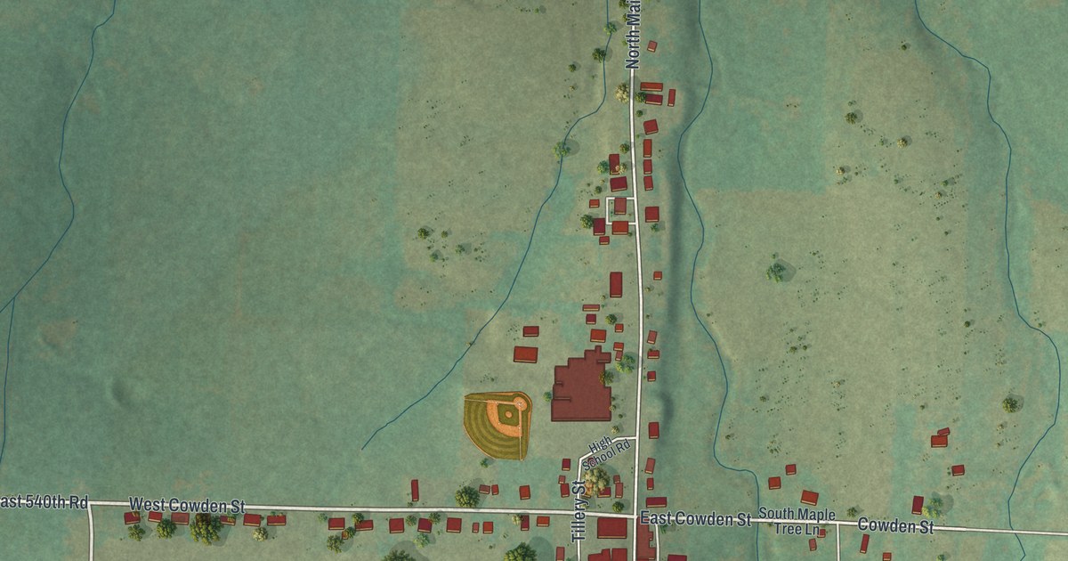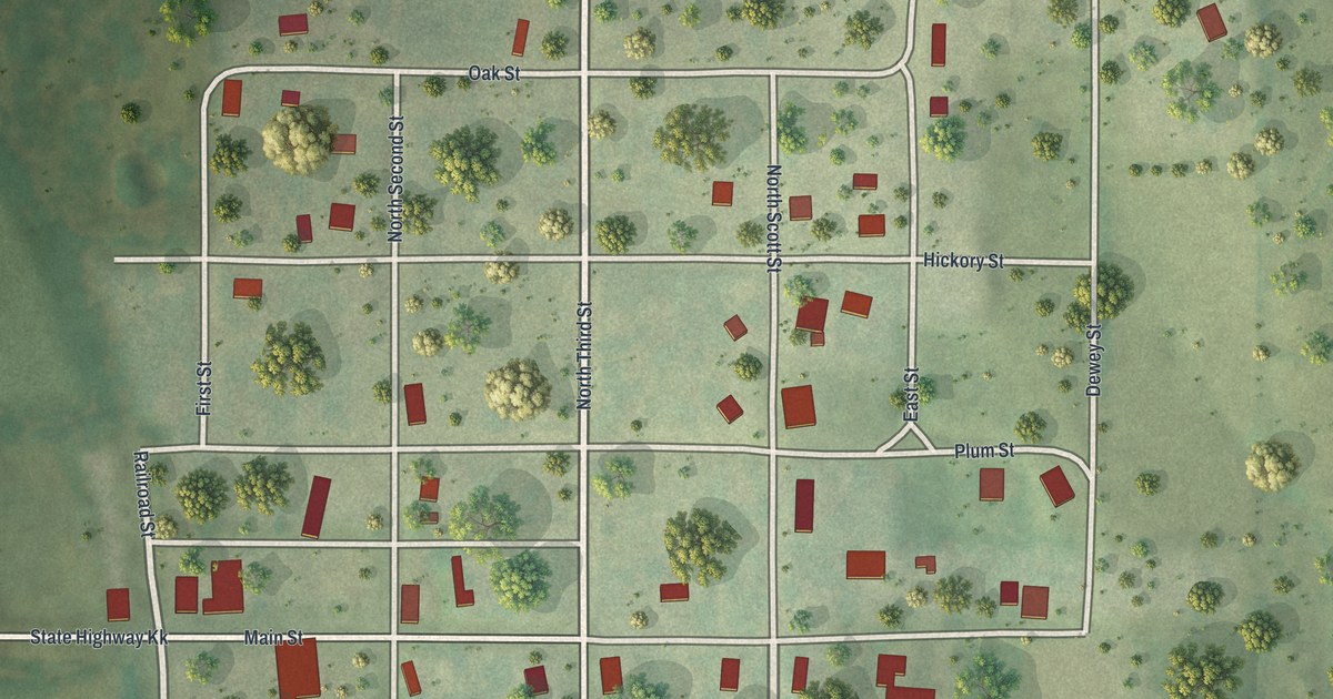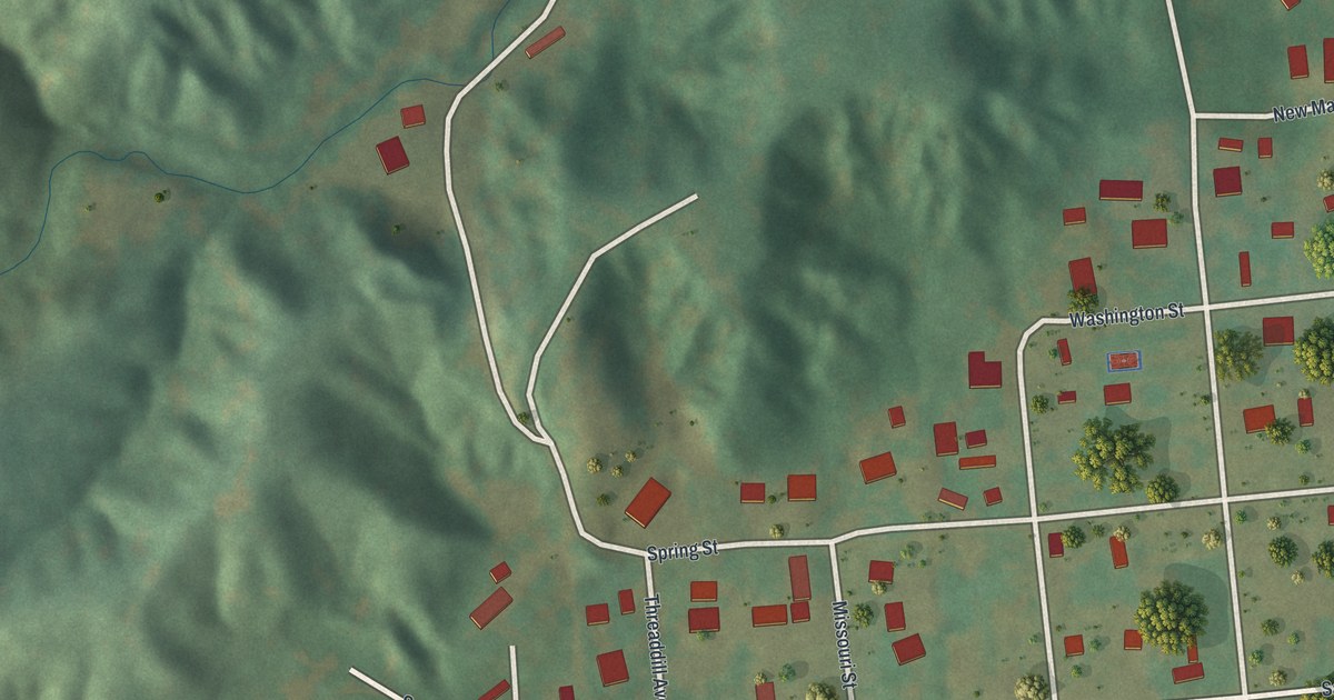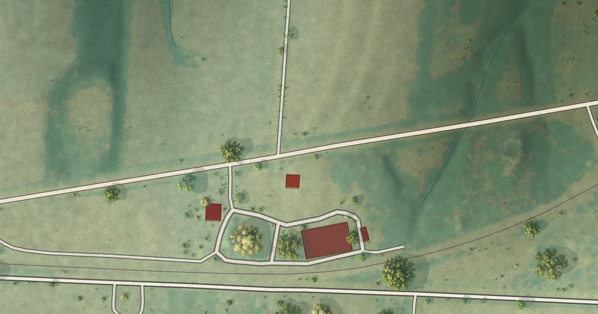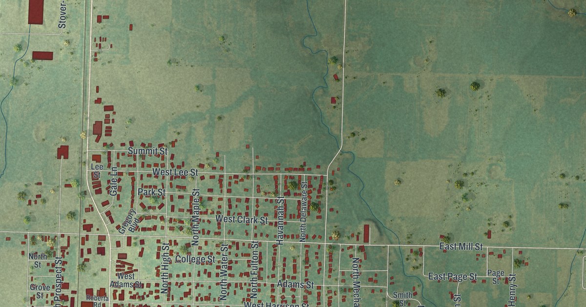
If you grew up in Butler, this print gives you familiar streets to find. It's a modern aerial view of Butler in Bates County, Missouri, made with modern data and a vintage feel. Red buildings fill the town's grid, with green fields and blue water around it.
Butler's streets and its wartime story
On this map you'll find Butler City Hall, North Main Street, South Main Street, North Broadway Street, South Broadway Street, West Fort Scott Street, West Ohio Street, Orange Street, East Pine Street, West Dakota Street, Oak Hill Cemetery, Butler Park, and more. Each red shape is a building, so zoom in on the preview and look for yours.
The old settlers' history of Bates county, Missouri describes a stark scene in Butler after the war. Only three or four cabins remained; fire had destroyed the rest. Today's map shows a much fuller town. Look at the many red buildings near Butler City Hall and North Main Street. Those blocks give you a view of the Butler that came after that loss.
Butler City Hall and the streets of home
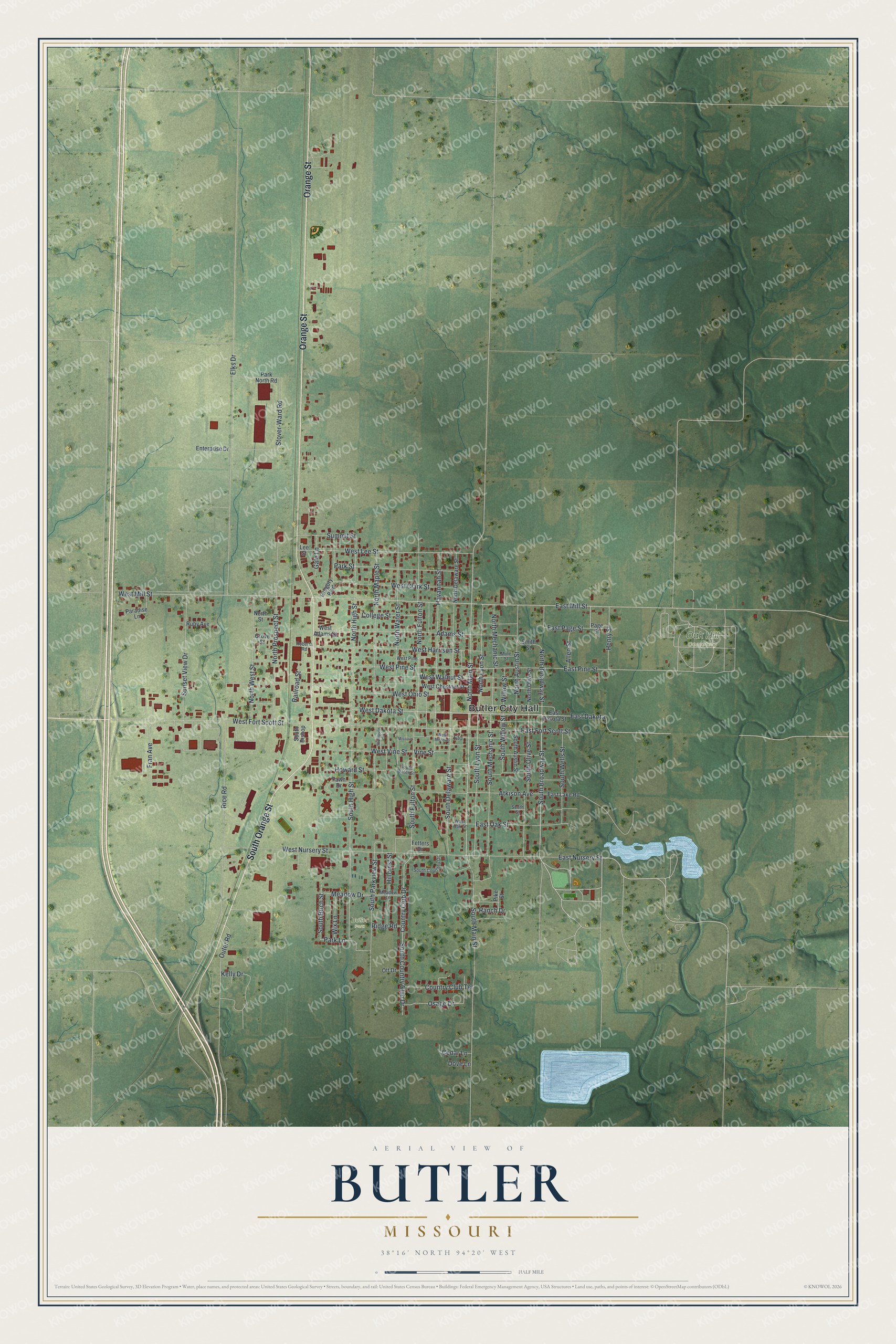
Created by KNOWOL in 2026, the print pairs soft green terrain with red buildings and pale blue water. A cream border surrounds the view. The title panel reads AERIAL VIEW OF BUTLER, MISSOURI, with 38°16' NORTH 94°20' WEST below.
Hang it in a living room, office, or entryway. It's a gift for someone who grew up near Butler Park or still calls Butler home. Open the preview and take a closer look at your part of town. See sizes and frames for the Butler map.