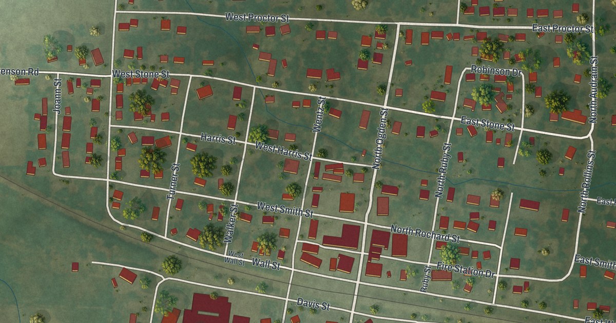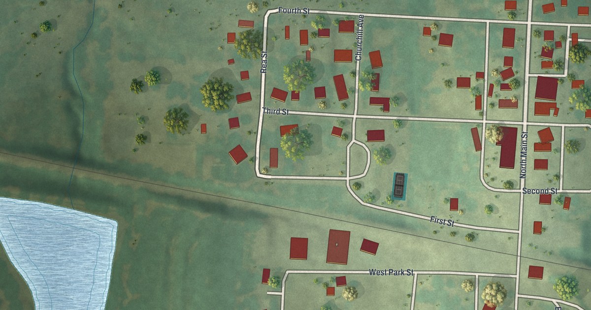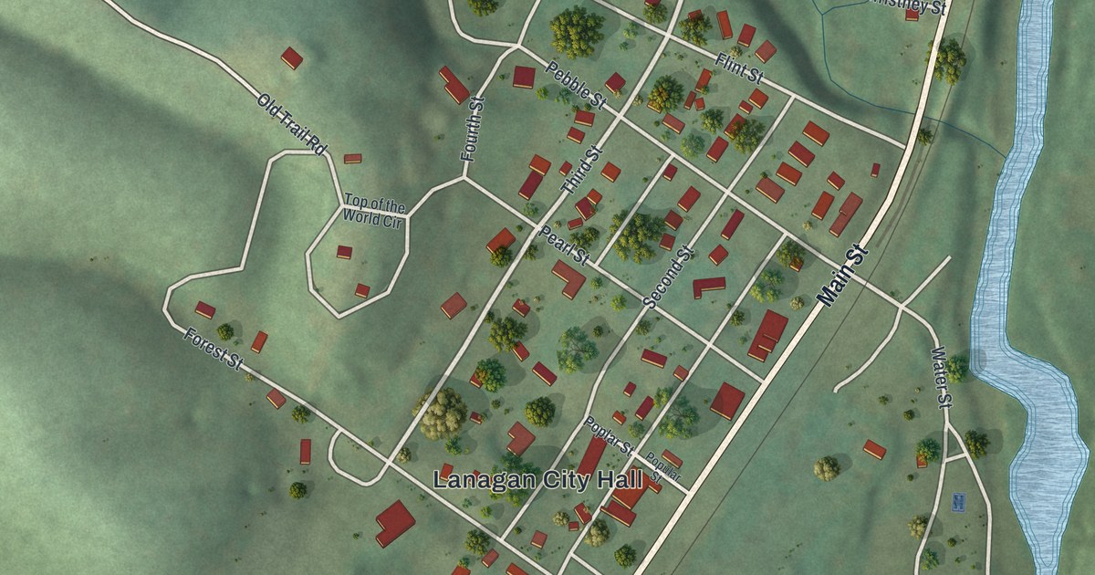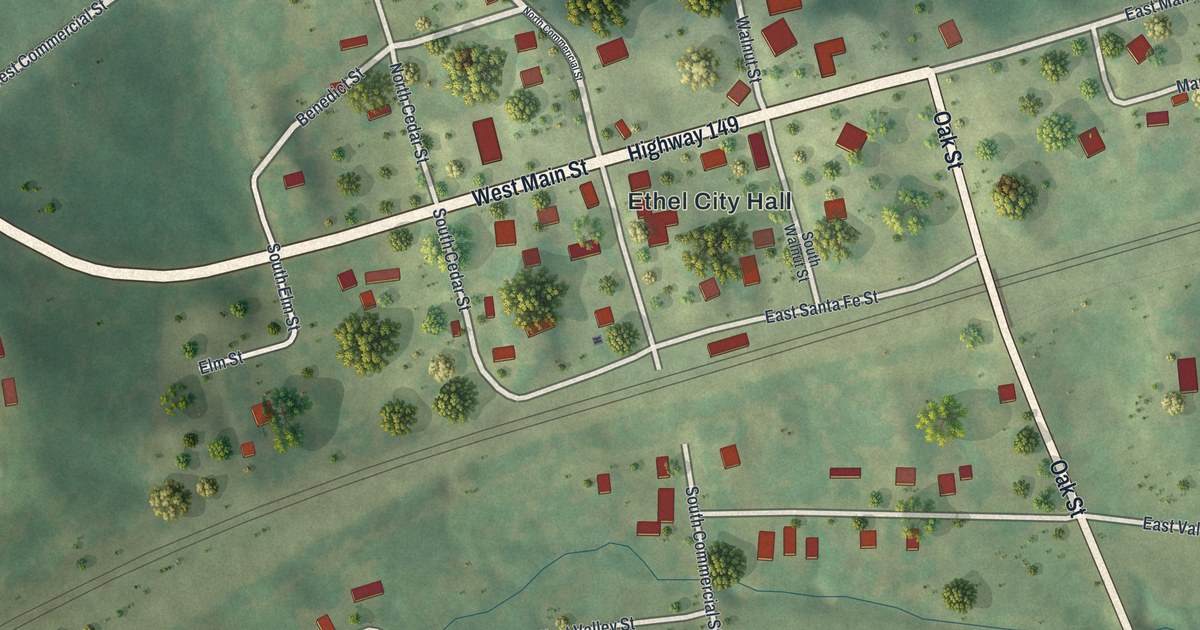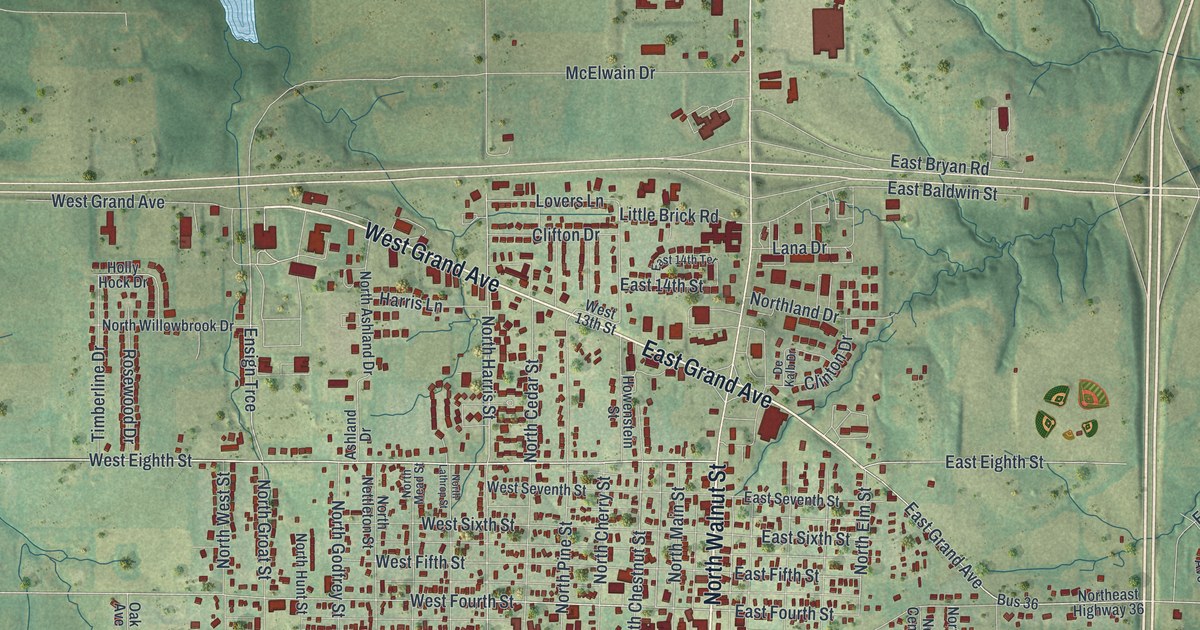
If you grew up in Cameron, or you still know the way from Grand Avenue to Walnut Street by heart, this map is for you. It's a modern aerial view of Cameron in Clinton County, Missouri, built from terrain, water, road and building data and shaded in soft, warm colors for a vintage feel. The town sits in the middle of the sheet, with Cameron City Hall at its heart. Its numbered streets fill a tight grid, and more than 3,400 red shapes mark the buildings. Green hills and small creeks spread out on every side. Blue lakes sit in the hills near the top left corner.
The streets around Cameron City Hall
On this map you'll find North Walnut Street, South Walnut Street, West Grand Avenue, East Grand Avenue, North Main Street, Cameron City Hall, Park Avenue, Seminary Avenue, Euclid Avenue, North Chestnut Street, East Fourth Street, West Eighth Street, Lovers Lane, Southeast Reservoir Road, and more. Each red shape is a building, so zoom in on the preview and look for yours.
Cameron's first blacksmith and wagon shop
Every town starts with people who build things. The 1923 History of Clinton County, Missouri names some of Cameron's first. A man named Joseph and his partner, Taylor, were the first carpenters to work in the town. Then, in the spring of 1857, Obadiah Smith came over from Weston in Platte County. He opened the first blacksmith and wagon shop in Cameron.
A wagon shop mattered a lot back then. Farm families needed wheels fixed and horses shod. They needed tools made and mended. Shops like these helped a small place turn into a real town. Today Cameron has grown into the tight grid around Cameron City Hall, in the center of the print. Look near Cameron City Hall and along Walnut Street and Main Street to find the heart of town today.
A Cameron map from Grand Avenue to the lakes
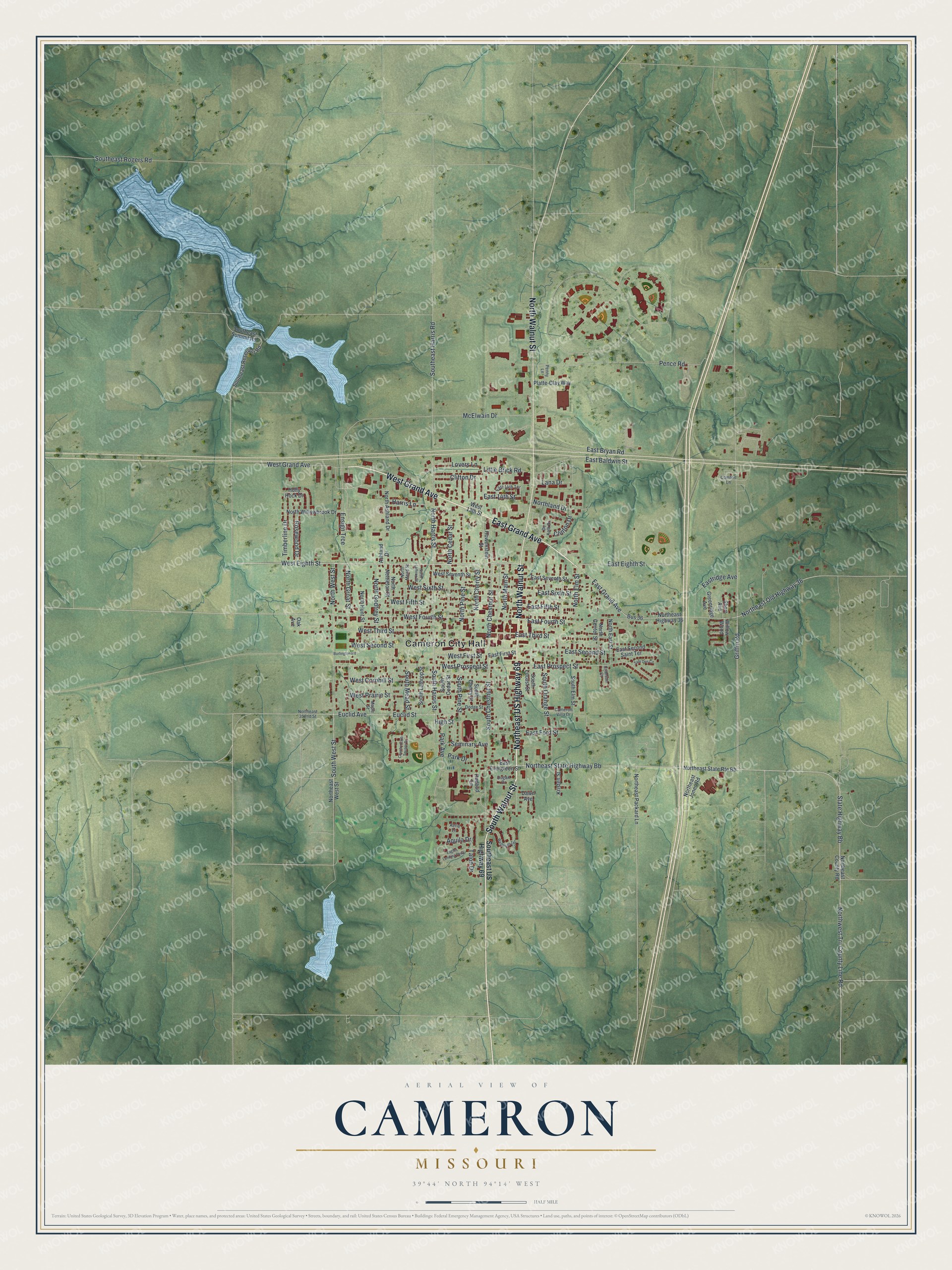
Created by KNOWOL in 2026, the print shows Cameron from above in soft greens and blues, with red buildings, pale roads and shaded hills. The title panel at the bottom reads "Aerial View of Cameron, Missouri" with the coordinates 39°44' North 94°14' West.
It fits well in a living room, a front hall or a home office. It's a good gift for someone who moved away from Cameron and still thinks of the streets near Cameron City Hall. Open the preview and find the blocks you know. See sizes and frames for the Cameron map.