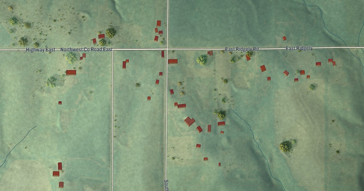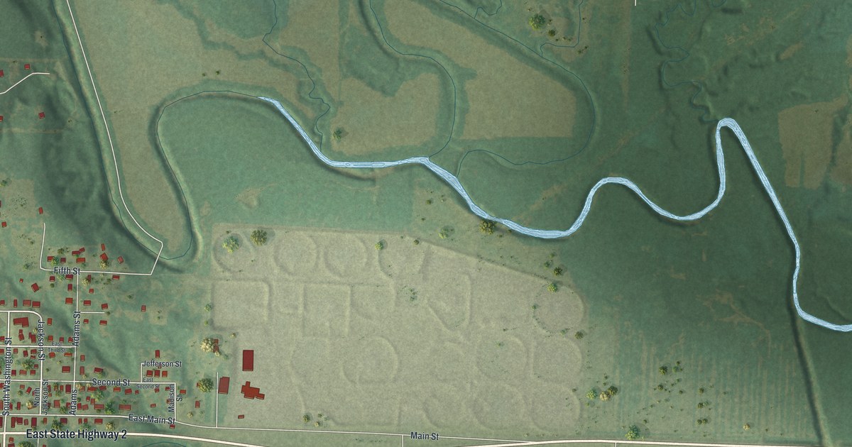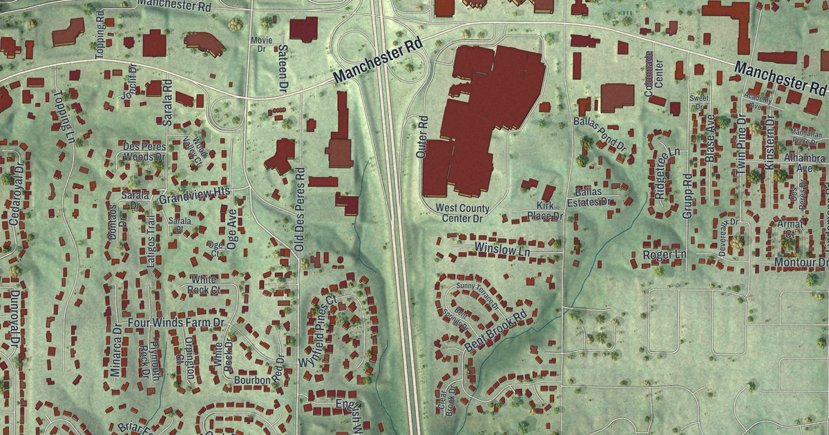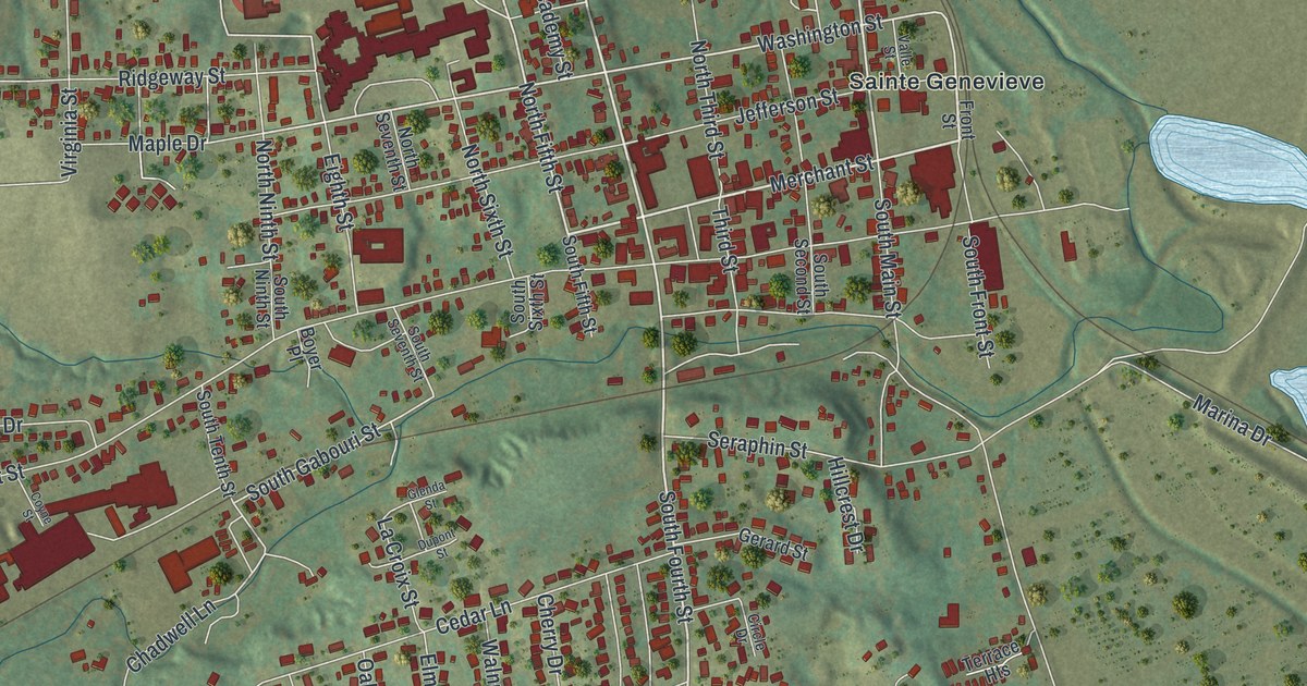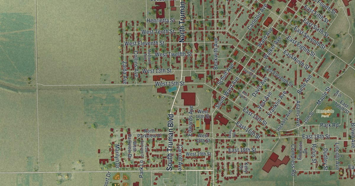
If you grew up in Caruthersville, look for your old block on this print. It's a modern aerial view of Caruthersville in Pemiscot County, Missouri, made with modern data and a vintage feel. Red building shapes fill the street grid beside a broad blue river. Green fields spread out beyond the town's streets.
Caruthersville's start in 1857
On this map you'll find North Truman Boulevard, South Truman Boulevard, Caruthersville City Hall, West Third Street, South Ward Avenue, Eastside Park, Maple Cemetery, Locust Avenue, Grand Avenue, Carleton Avenue, Levee Road, and more. Each red shape is a building, so zoom in on the preview and look for yours.
The State Historical Society of Missouri's place-name file dates Caruthersville's layout to 1857. It places the new town a few miles north of Little Prairie, an older village. That gives you a starting point for the town's story. On this modern view, look for Caruthersville City Hall among the close-set blocks. You can see the street grid and the open fields around it in one view.
Keep Caruthersville and Eastside Park close
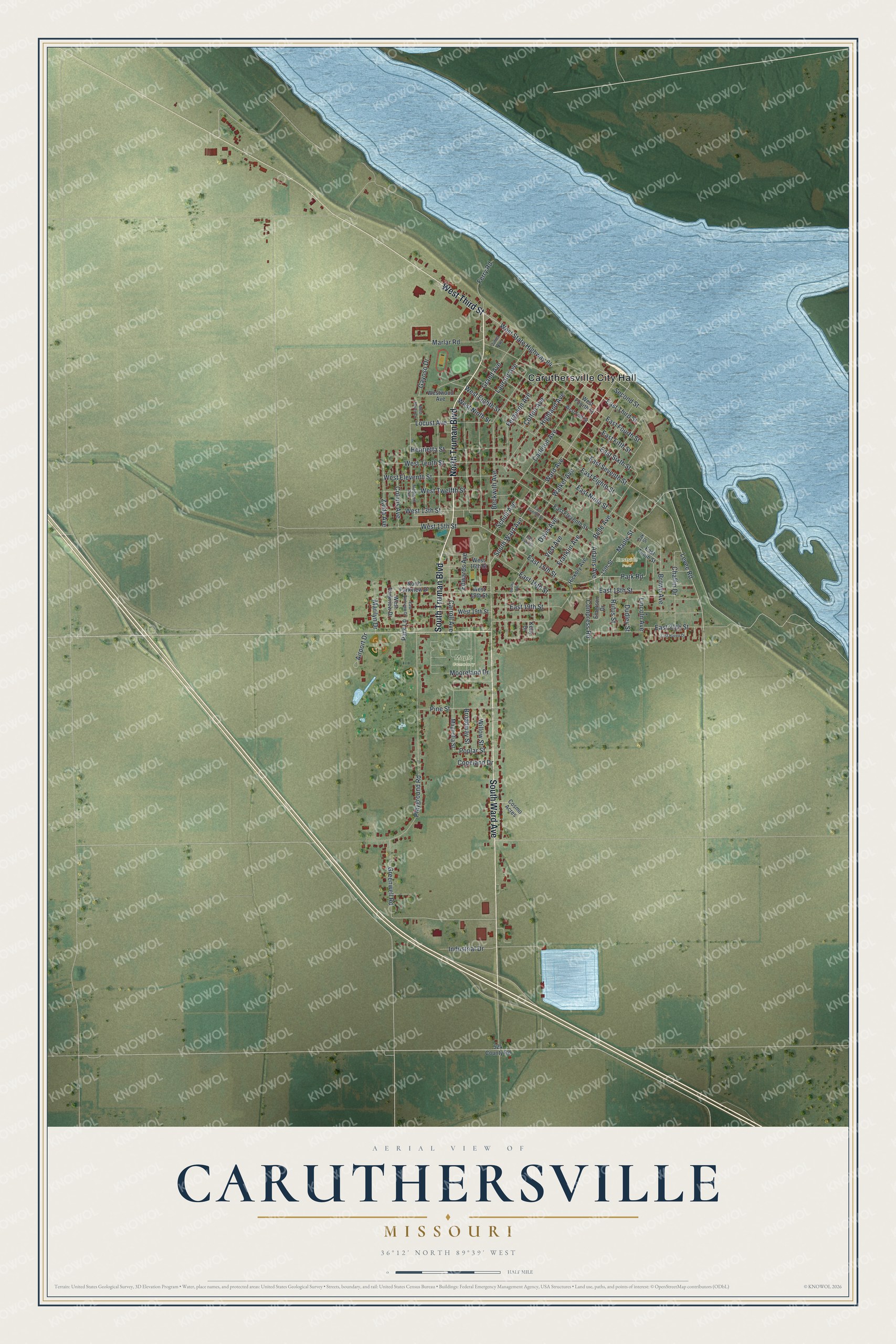
Created by KNOWOL in 2026, the print pairs green land, blue water and red buildings with a cream border. The title panel reads AERIAL VIEW OF CARUTHERSVILLE, MISSOURI, with 36°12' NORTH 89°39' WEST below.
Hang it in a living room, office or entryway. It's a gift for someone who grew up near Eastside Park or moved away from Caruthersville. Open the preview and take a closer look at the streets you know. See sizes and frames for the Caruthersville map.