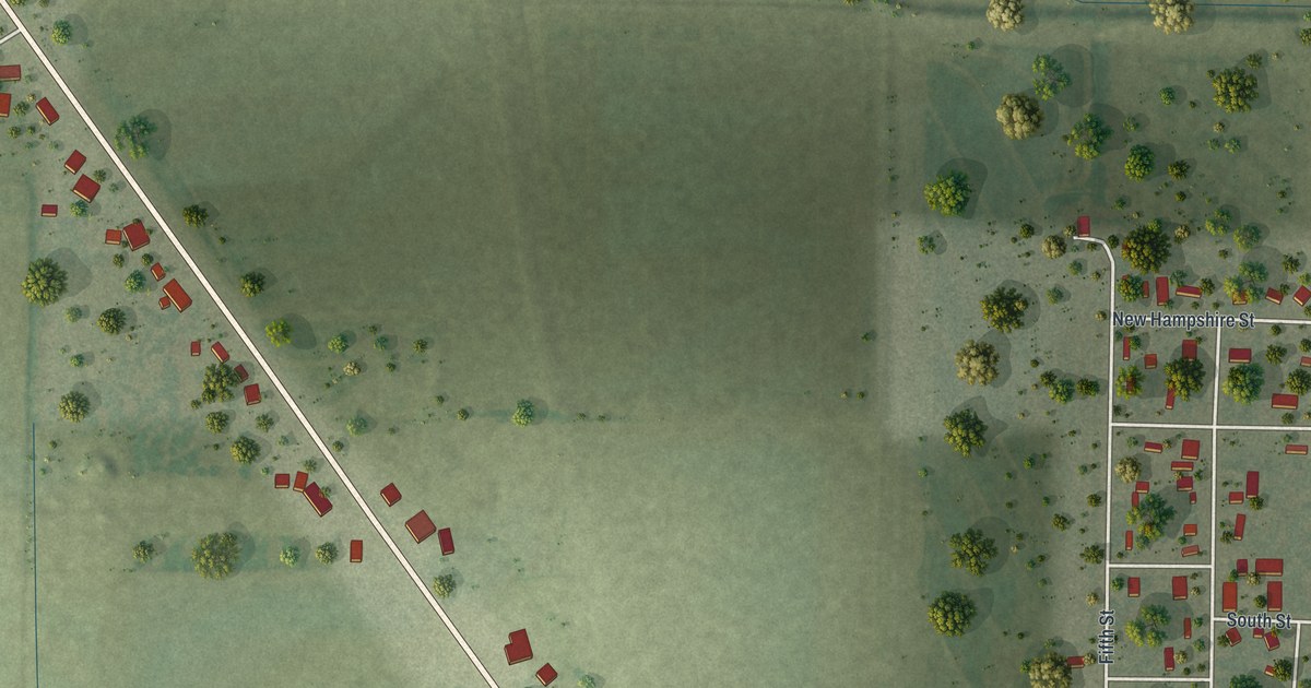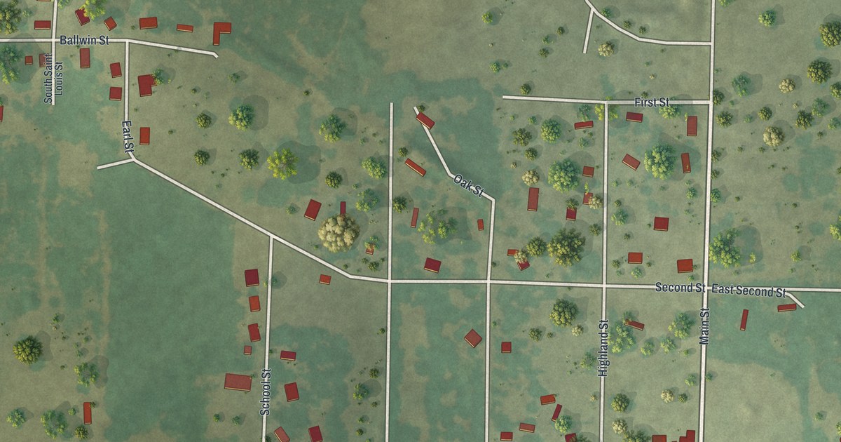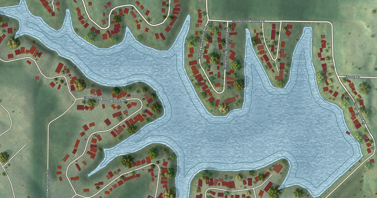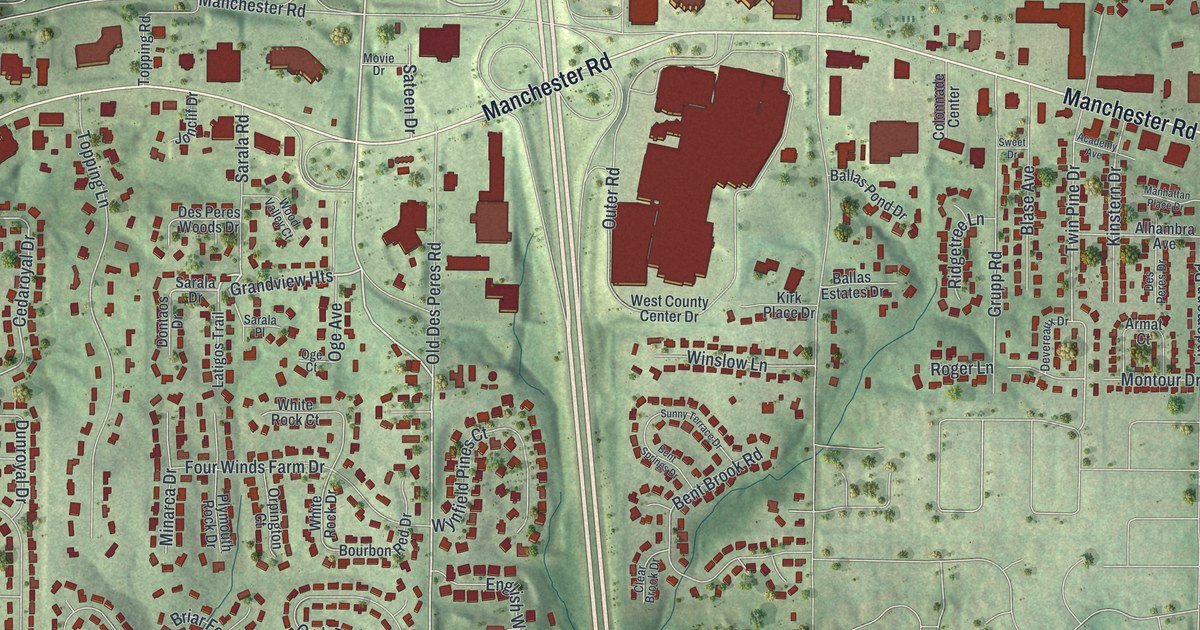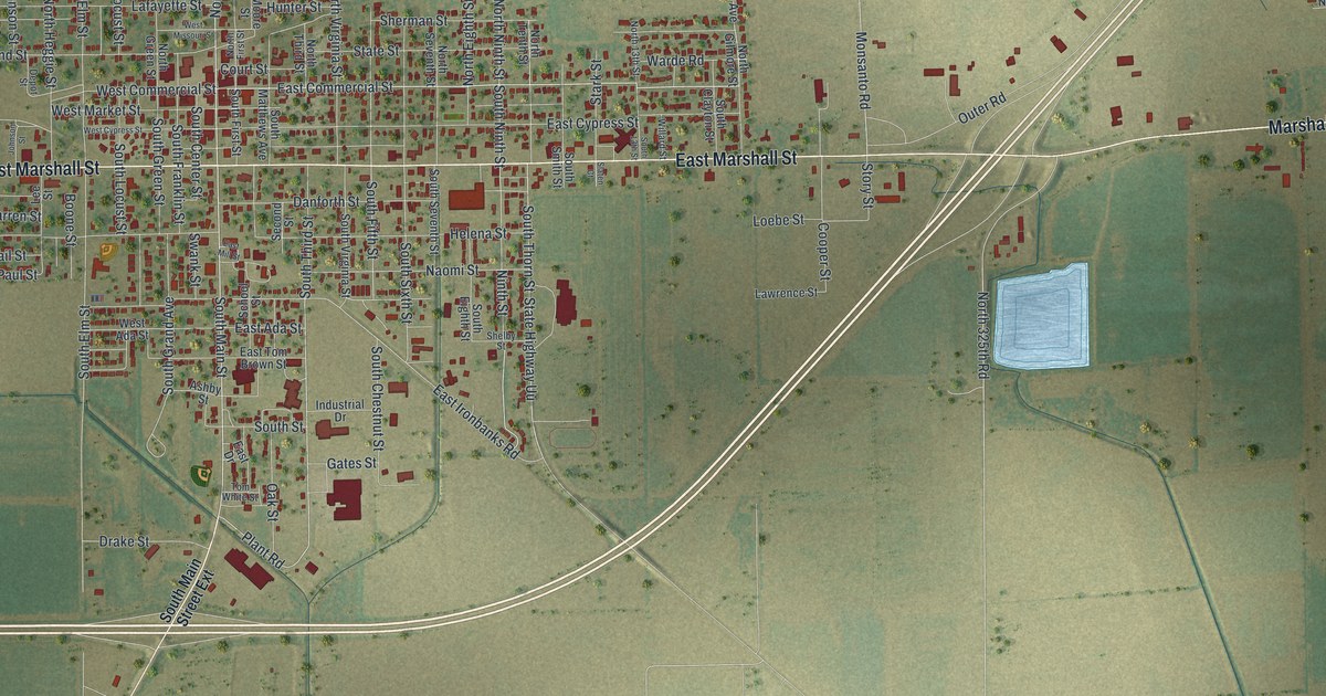
If you've ever walked down East Commercial Street past the McCutchen Theatre, this map is for you. It's a modern aerial view of Charleston in Mississippi County, Missouri, built from modern data and given a soft vintage look. Red buildings crowd the blocks around North Main Street and East Marshall Street. Past the last houses, flat farm fields stretch out to every edge, cut by long straight ditches. A highway crosses the fields on a long slant, and two pale blue ponds sit east of town.
North Main Street, East Marshall Street and the rest of Charleston
On this map you'll find North Main Street, South Main Street, East Marshall Street, West Marshall Street, East Commercial Street, West Commercial Street, Court Street, Depot Street, School Street, Swank Street, Goodin Avenue, Industrial Drive, Monsanto Road, Pedro Simmons Drive, and more. Each red shape is a building, so zoom in on the preview and look for yours.
Why the town is named Charleston
Charleston got its name from another Charleston far to the east. The State Historical Society of Missouri keeps an old file of Missouri place names. It says two early historians, Douglass and Eaton, said the name came from someone called Rodney. Rodney named it for Charleston, South Carolina. That city was named for Charles II, a king of England. The historians didn't say why Rodney picked that name. Today it's the big word across the bottom of the print.
The McCutchen Theatre and Russell Hotel on East Commercial Street
Four National Register listings sit in and around Charleston, and three are on streets you'll see here.The McCutchen Theatre at 106 East Commercial Street joined the National Register of Historic Places in 2019. Nearby, the Russell Hotel at 200 East Commercial Street joined the register in 2022. The Moore House at 403 North Main Street was listed in 1980. Just west of town, on U.S. 60 and 62, the Jacob Swank House was listed in 1973.
A Charleston print from North Main Street to Pedro Simmons Drive
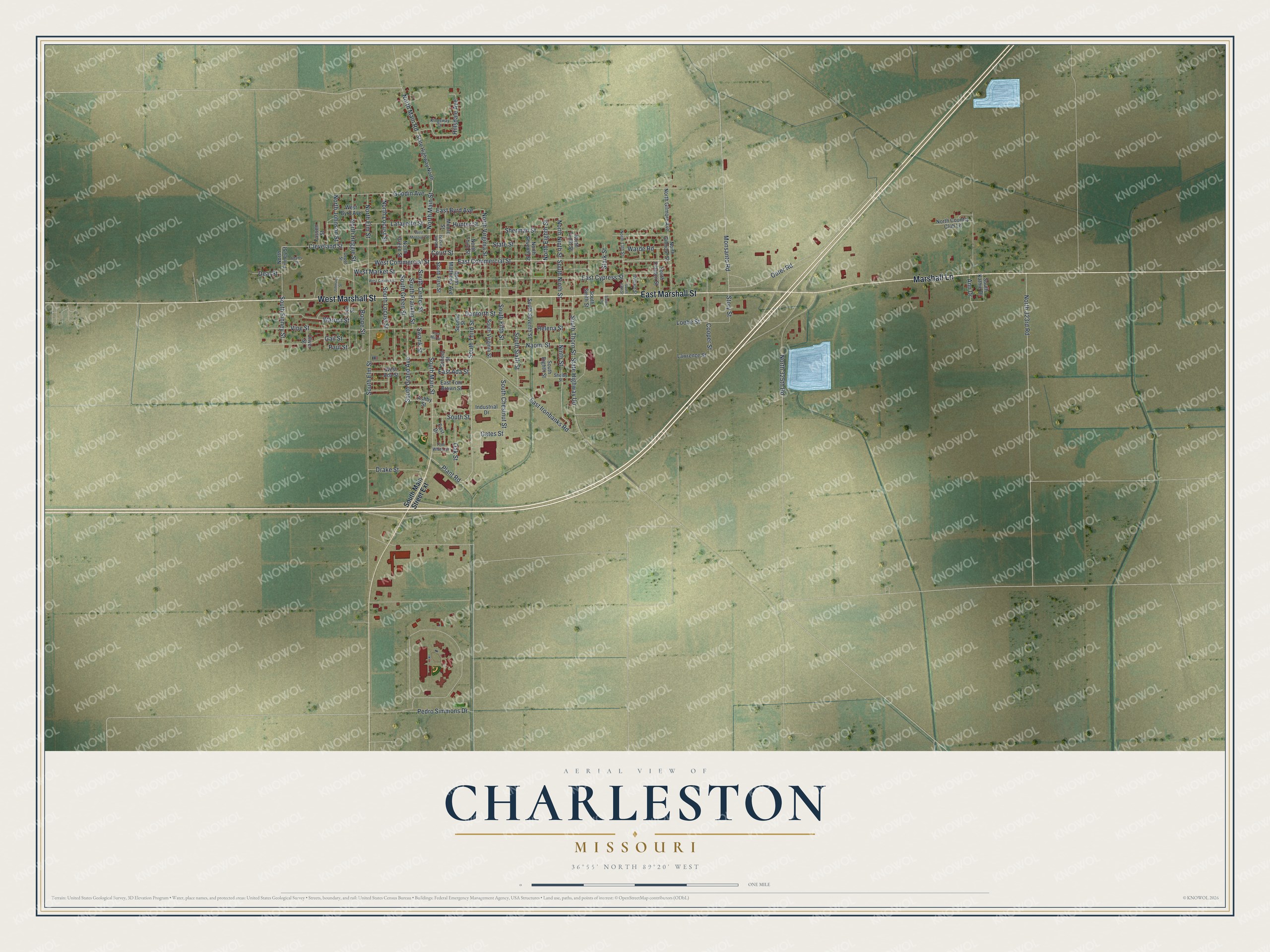
Created by KNOWOL in 2026, the print shows Charleston from above in soft greens and tans, with buildings in red and water in pale blue. The title panel reads Aerial View of Charleston, Missouri, with 36°55' North 89°20' West beneath it.
It fits a living room, a front hall or a home office. It also makes a good gift for someone who grew up near North Main Street and East Commercial Street and now lives far away. Open the preview and find your own block. See sizes and frames for the Charleston map.