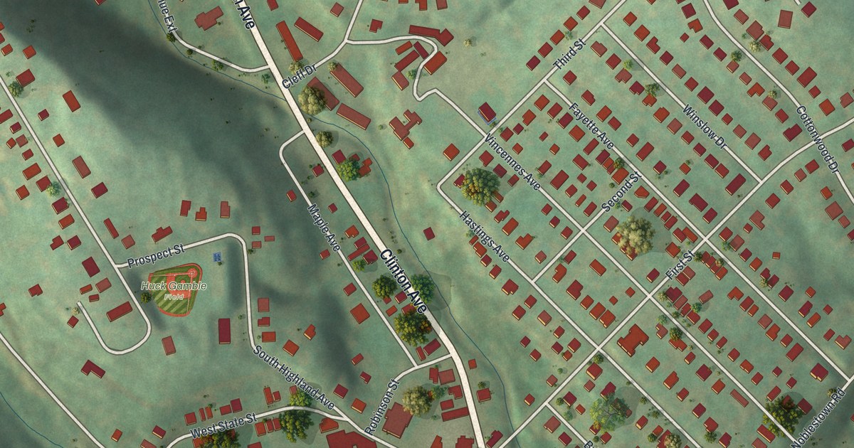
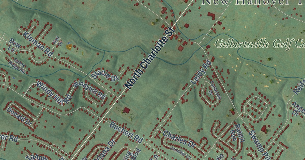
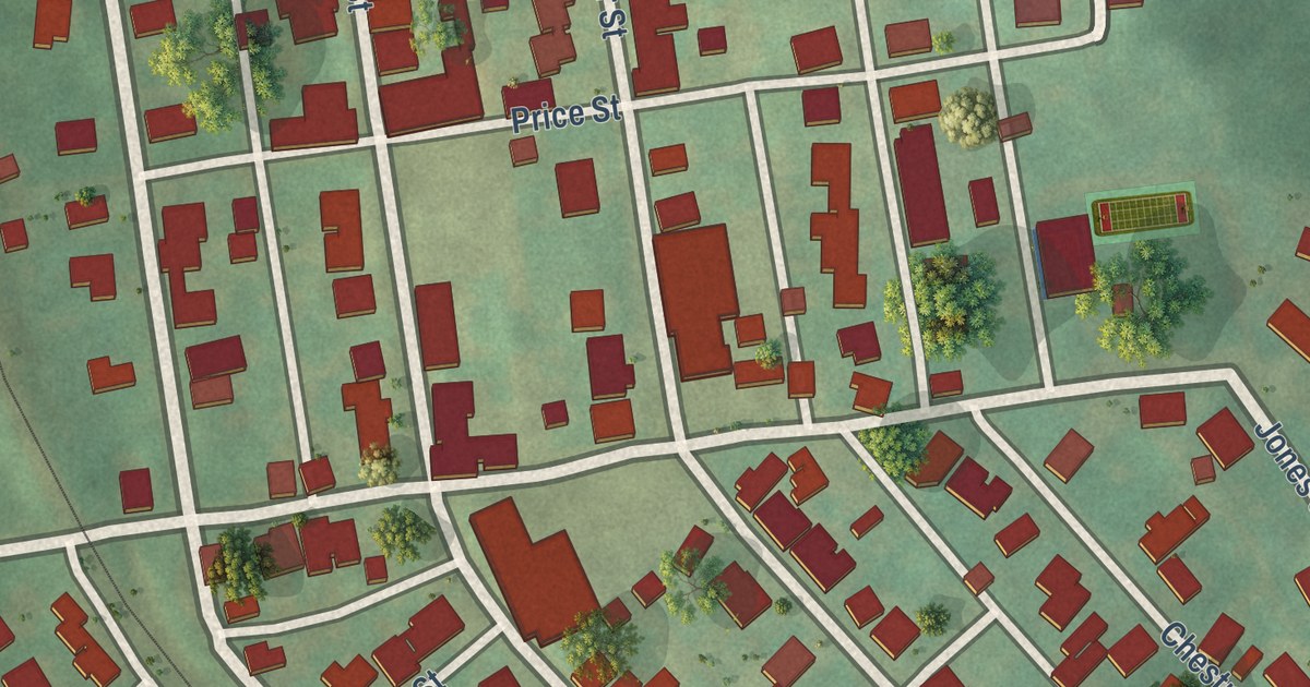
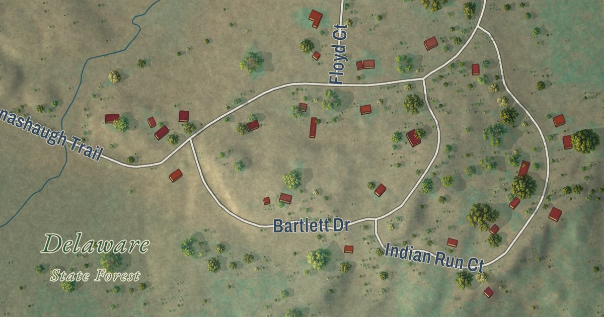
This beautifully detailed map of Crafton Heights, Pennsylvania was created in 2026 using aerial imagery combined with modern topographical, census, street and landmark data. It’s a one-of-a-kind view of Crafton Heights that combines accurate data with a vintage aesthetic. The map shows every building in its true location, many of the roads carry their names, and the shaded topographic relief shows the shape of the land.
Explore an aerial view of Crafton Heights, Pennsylvania
On the map you’ll find Dunbar Park, Elliott, and Martera Place, along with Dubois Street, Cumberland Avenue, Justine Street, Idola Street, Clairhaven Street, Steuben Street, Chartiers Avenue, Crucible Street, Arnold Street, and more. If you look closely you can even find your house accurately drawn in its correct location. Zoom in on the preview to look for yours.
Take a closer look at the Crafton Heights map

Street and place names on the Crafton Heights, Pennsylvania map
These names are printed on the map of Crafton Heights, Pennsylvania.
Places: Dunbar Park and Elliott.
Streets and roads: Martera Place, Justine Street, Clairhaven Street, Dubois Street, Idola Street, Steuben Street, Chartiers Avenue, Crucible Street, Arnold Street, Berry Street, Dickens Street, Straka Street.
More street names, A to Z
Albia Way, Anoka Way, Atherly Way, Belton Way, Cedarbrook Drive, Cistern Way, City Way, Clairtonica Street, Cleat Way, Coey Way, Condor Way, Corso Way, Cumberland Avenue, Cumberland Street, Dexter Street, Earlham Street, Elf Street, Elmont Street, Elrama Way, Enderlin Way, Estep Way, Fairston Street, Fierro Way, Fire Way, Ford Street, Fredonia Street, Frontenac Street, Fusion Street, Greenway Drive, Greenway School Drive, Gulf Way, Hidden Timber Drive, Hollywood Street, India Street, Janewood Way, Kentmoor Drive, Kirwan Way, Lessing Street, Lester Way, Litchfield Street, Logue Street, Magnus Street, Meadowbrook Way, Merryfield Street, Midfield Way, Municipal Street, Nittany Street, Northfield Avenue, Norwalk Street, Oakglen Street, Oakmont Street, Obey Street, Oswin Street, Ridley Way, Ringgold Street, Round Top Street, Sanborn Street, Shirley Street, Small Street, Stratmore Street, Talmadge Way, Toledo Street, Tranter Street, Vinton Street, Whitewood Drive, Willet Street, Wilton Way, Winlock Avenue, Woodlow Street, Zahniser Street.
See the Crafton Heights, Pennsylvania map on a wall
The Crafton Heights map as an 18 x 24 inch print in a black frame.

This beautifully detailed map of Crafton Heights makes an attractive addition to your office, library, or den, and it can even be used to teach children the geography and history of the area. It also makes a great gift for anyone who grew up in Crafton Heights or moved away. When you’re done exploring, click here to get your copy of the Crafton Heights map.