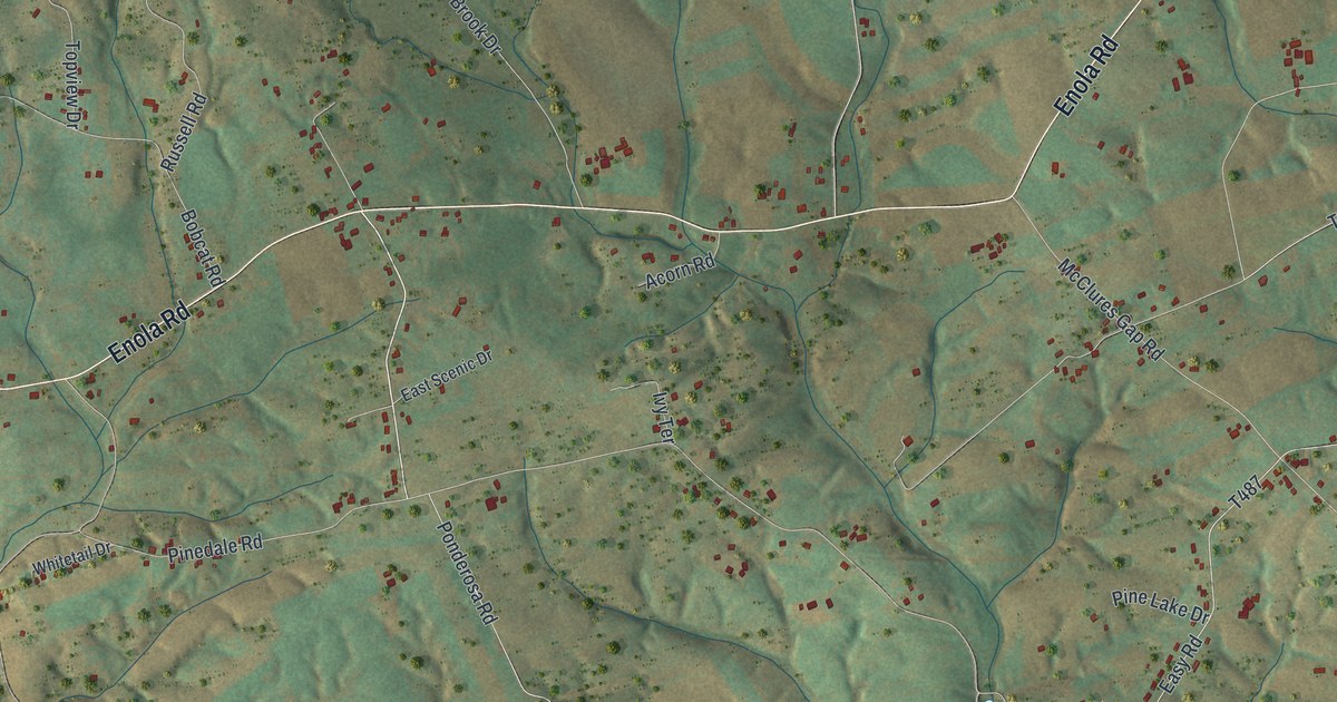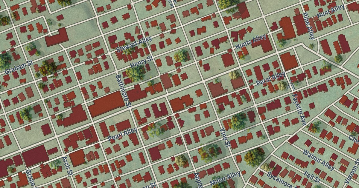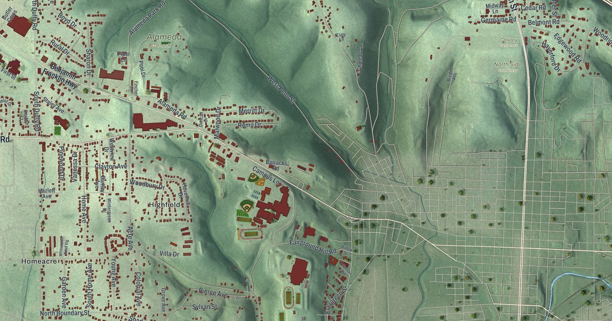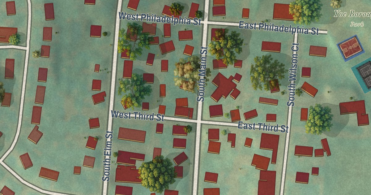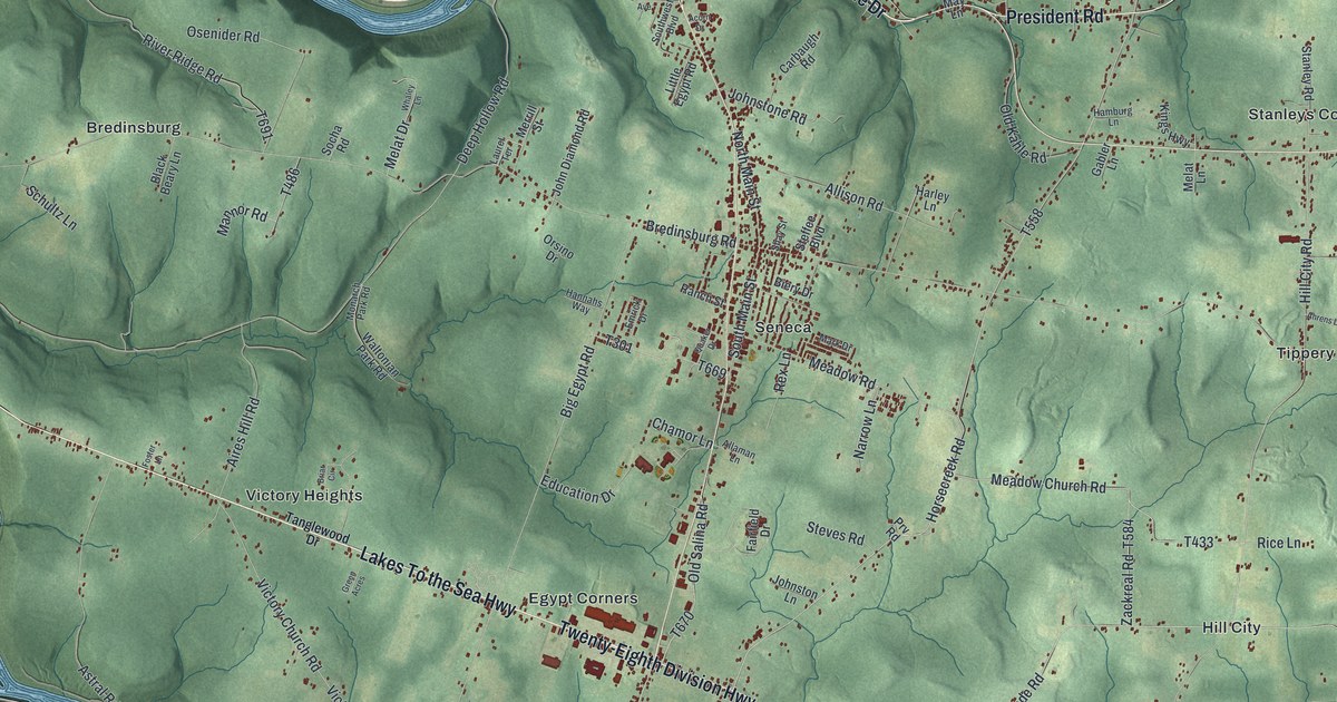
This beautifully detailed map of Cranberry, Venango County, Pennsylvania was created in 2026 using aerial imagery combined with modern topographical, census, street and landmark data. It’s a one-of-a-kind view of Cranberry that combines accurate data with a vintage aesthetic. The map shows every building in its true location, many of the roads carry their names, and the shaded topographic relief shows the shape of the land.
Explore an aerial view of Cranberry, Venango County, Pennsylvania
On the map you’ll find Venango, State Game Lands Number 45, Astral, Bredinsburg, Egypt Corners, Hill City, Maple Shade, Rockmere, Rose Gardens, Sadlers Corner, Seneca, Stanleys Corner, and more. If you look closely you can even find your house accurately drawn in its correct location. Zoom in on the preview to look for yours.
Did you know this piece of Cranberry, Venango County, Pennsylvania history?
From Cranberry Township: "When it was officially organized in 1830, the name was changed to Cranberry for a large wetland located near the center of the Township known as Cranberry Swamp."
Take a closer look at the Cranberry, Venango County map
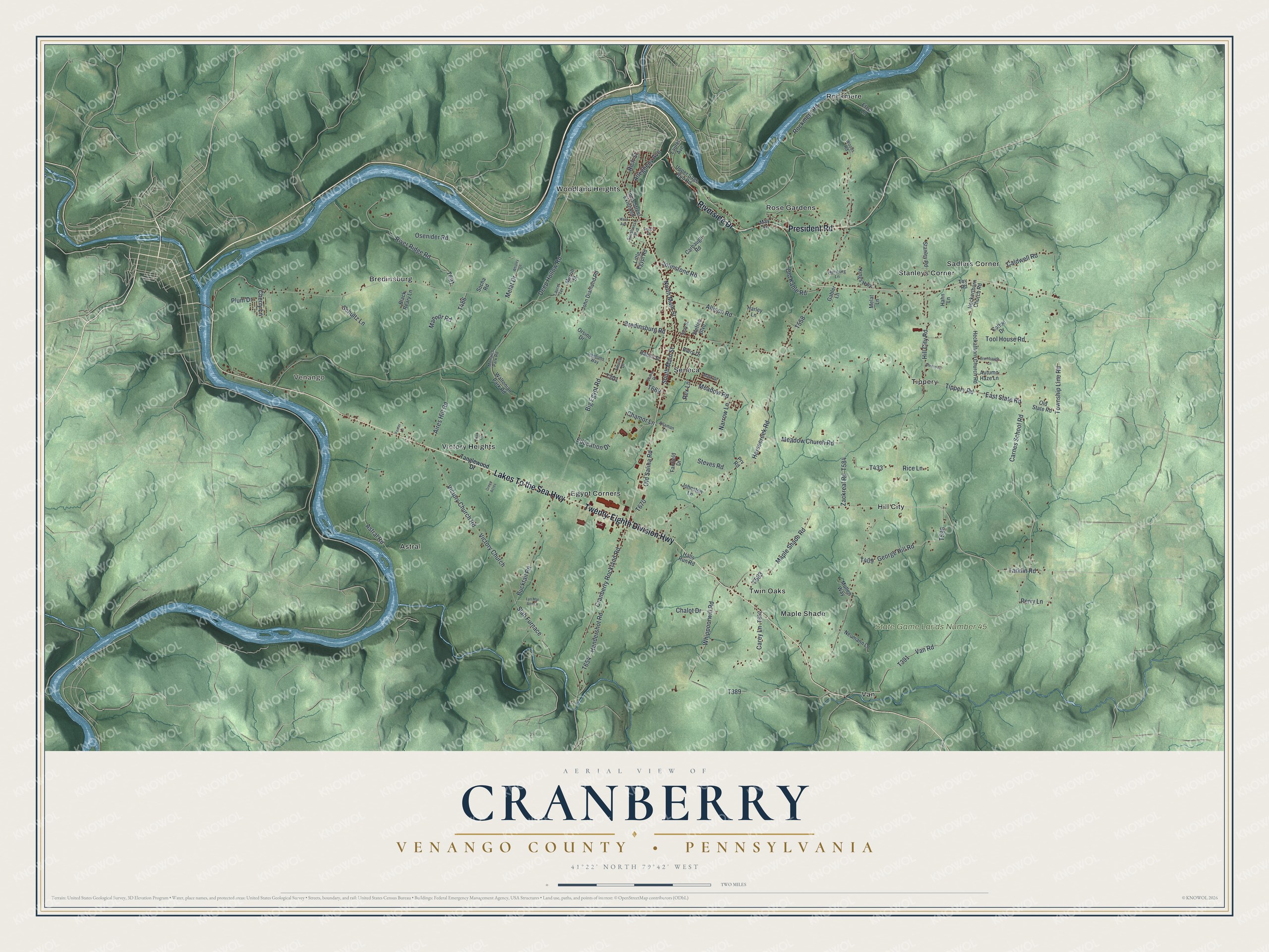
Street and place names on the Cranberry, Venango County, Pennsylvania map
These names are printed on the map of Cranberry, Venango County, Pennsylvania.
Places: Venango, State Game Lands Number 45, Astral, Bredinsburg, Egypt Corners, Hill City, Maple Shade, Rockmere, Rose Gardens, Sadlers Corner, Seneca, Stanleys Corner, Tippery, Twin Oaks, Van, Victory Heights and Woodland Heights.
Streets and roads: Riverside Drive, Lakes To the Sea Highway, Twenty-Eighth Division Highway, President Road, Tarklin Road, Maple Shade Road, Hill City Road, Township Line Road, Bucktail Road, Victory Church Road, Slab Furnace, Victory Church.
More street names, A to Z
Acorn Drive, Ahrens Lane, Aires Hill Road, Allaman Lane, Allegheny Avenue, Allison Road, Astral Road, Autumn Haze Lane, Biery Drive, Big Egypt Road, Black Beary Lane, Bredinsburg Road, Briar Circle, Brumbaugh Lane, Caldwell Road, Carbaugh Road, Carey Lane, Carnes School Road, Chalot Drive, Chamor Lane, Cherry Lane, Cotton Drive, Cranberry Rockland Road, Deep Hollow Road, East State Road, Education Drive, Emrick Drive, Etzel Lane, Fairfield Drive, Foster Lane, Gabler Lane, George Hill Road, Green Acres, Hahn Lane, Halls Run Road, Hamburg Lane, Hannahs Way, Harley Lane, Heckathorn Church Road, Heckerthorn Church Road, Hendershot Road, Horsecreek Road, Innis Street Extended, John Diamond Road, Johnstone Road, Johnston Lane, Kings Highway, Laurel Avenue, Laurel Terrace, Little Egypt Road, Lyn Mar Ann Lane, Mannor Road, Mark Drive, May Lane, Meadow Church Road, Meadow Road, Melat Drive, Melat Lane, Merrill Street, Monarch Park Road, Mullen Way, Narrow Lane, Neumann Lane, North Main Street, Old Kahle Road, Old Salina Road, Old State Road, Orsino Drive, Osenider Road, Perry Lane, Plum Drive, Prv Road, Quaker Drive, Ranch Street, Rex Lane, Rice Lane, Rich Street, River Ridge Road, Rockmere Road, Schultz Lane, Shay Street, Socha Road, South Main Street, Southwest Boulevard, Stanley Road, Steffee Boulevard, Steves Road, Tanglewood Drive, Tippery Road, Tool House Road, Toy Road, Upper Sage Run Road, Van Road, Waltonian Park Road, West Avenue, Whaley Lane, Whippoorwill Road, Woods Road, Zackreal Road.
See the Cranberry, Venango County, Pennsylvania map on a wall
The Cranberry, Venango County map as an 18 x 24 inch print in a black frame.

This beautifully detailed map of Cranberry, Venango County makes an attractive addition to your office, library, or den, and it can even be used to teach children the geography and history of the area. It also makes a great gift for someone who left Cranberry and still calls it home. When you’re done exploring, click here to get your copy of the Cranberry, Venango County map.