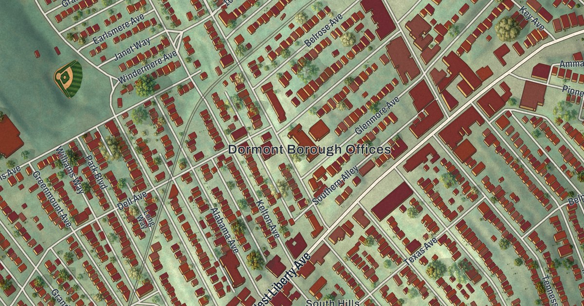
If you grew up on one of the tight streets off West Liberty Avenue, this map will feel like home. It's a new aerial view of Dormont in Allegheny County, Pennsylvania, made with modern data and given a vintage look. Rows of small red buildings fill the middle of the sheet. West Liberty Avenue cuts right through them on a long slant. Green hills wrap around the edges, and ball fields sit near Dormont Park.
West Liberty Avenue and the Streets of Dormont
On this map you'll find West Liberty Avenue, the Dormont Borough Offices, Dormont Park, McFarland Road, Potomac Avenue, Glenmore Avenue, Hillsdale Avenue, Dormont Avenue, Broadway Avenue, Pioneer Avenue, Espy Avenue, Park Boulevard, Scott Road, and more. Each red shape is a building, so zoom in on the preview and look for yours.
Dormont's Avenues Named for States
Look closely at the street names. Many of Dormont's avenues carry the names of states. There's Texas Avenue, Tennessee Avenue, Illinois Avenue, Wisconsin Avenue and Mississippi Avenue. Alabama Avenue, Arkansas Avenue, Louisiana Avenue, Oklahoma Avenue and Connecticut Avenue are here too. Philadelphia Avenue and Annapolis Avenue add two cities to the mix. Look for them among the rows of red buildings.
Dormont is a small borough with a lot of neighbors. The Census Bureau counted 8,244 people here in 2020. You can see it on the map. The red buildings stand close together, with thin strips of green between them. Larger buildings line West Liberty Avenue near the Dormont Borough Offices.
Dormont Park and the Blocks Around It
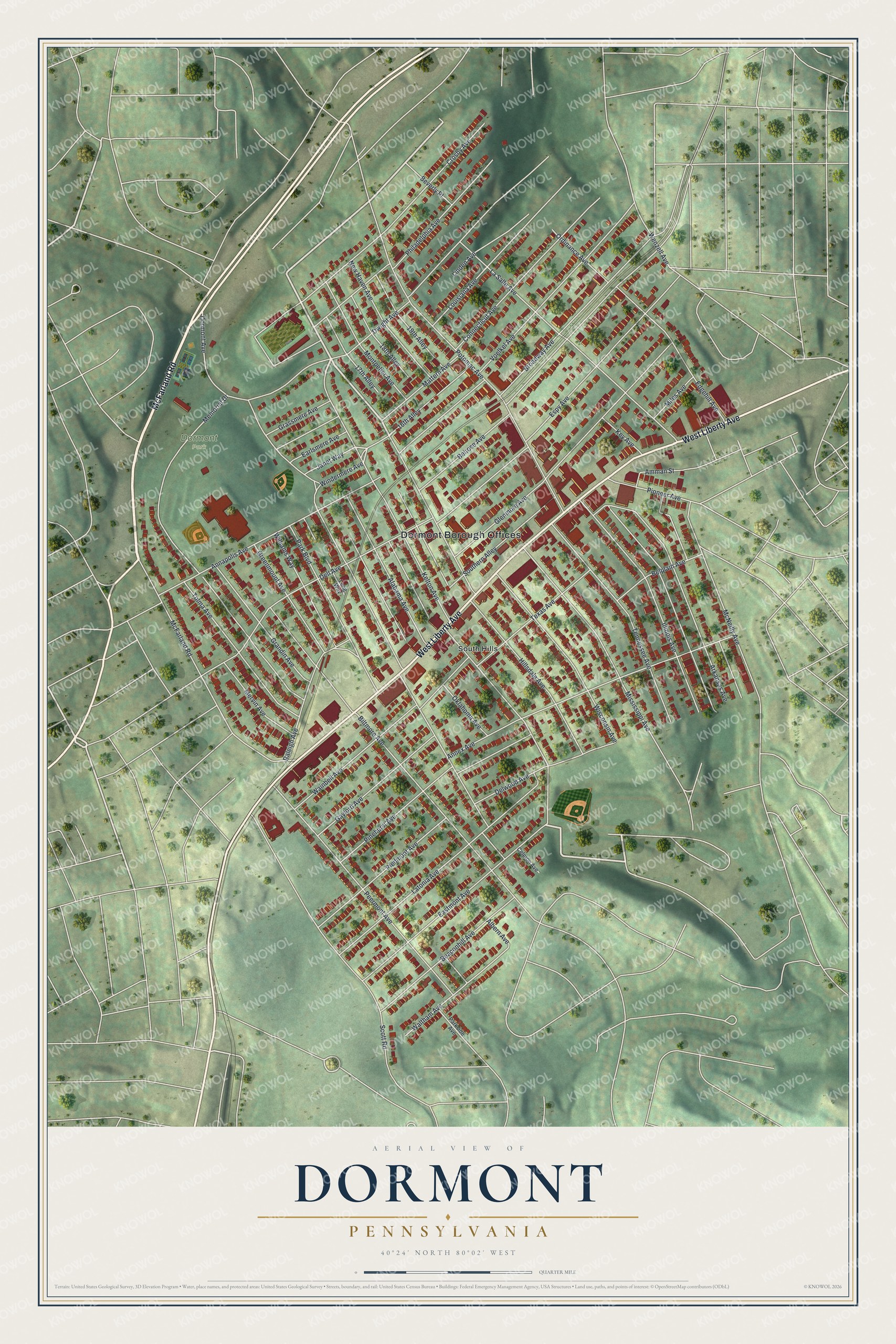
Created by KNOWOL in 2026, this print shows Dormont from above in soft greens, with its buildings in deep red and its streets in thin white lines. The title panel reads Aerial View of Dormont, Pennsylvania, with 40°24' North 80°02' West printed below.
It fits a living room, a kitchen or a home office. It's a good gift for someone who grew up near Dormont Park or on Texas Avenue. It also helps someone who moved away keep home close. Open the preview and find your street. See sizes and frames for the Dormont map.