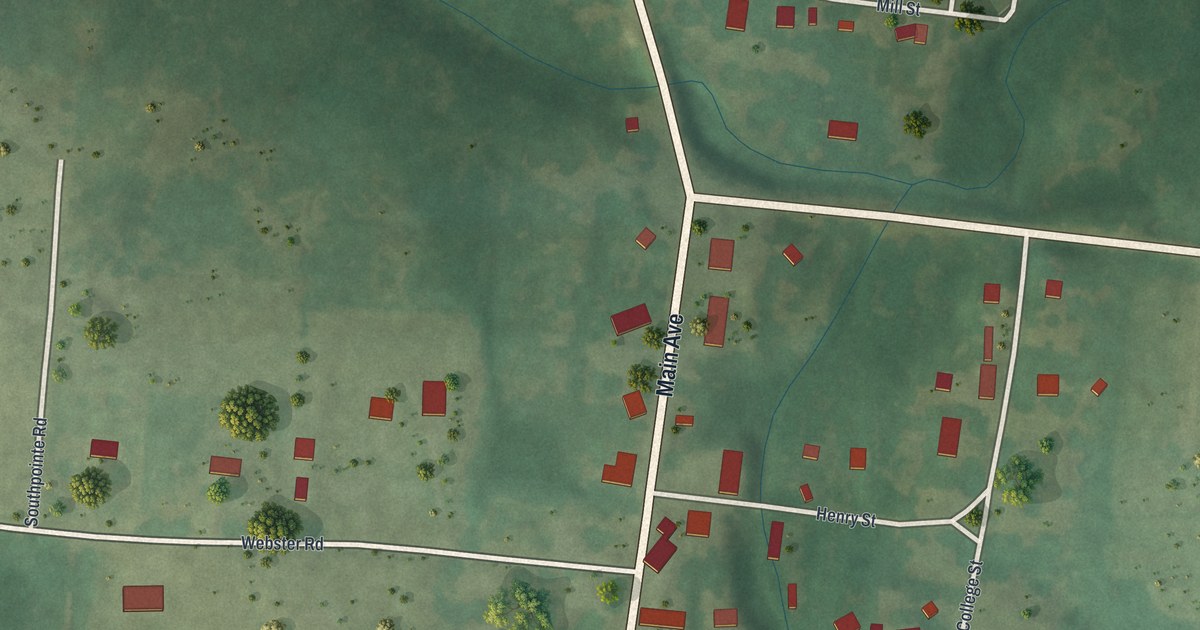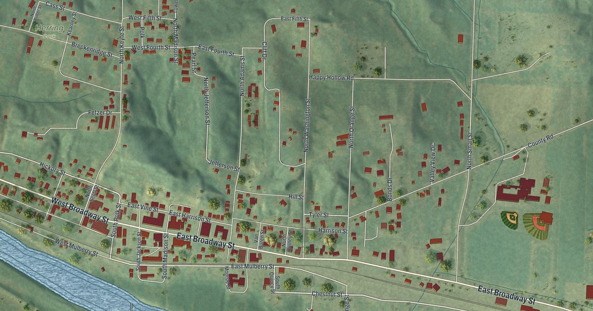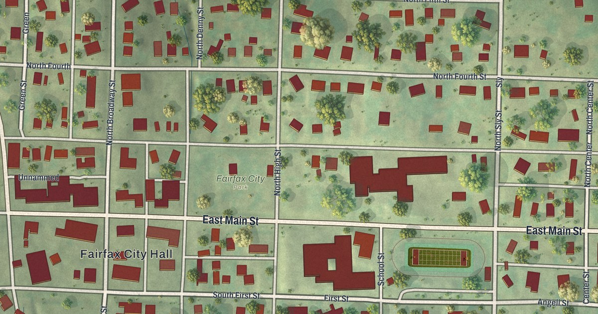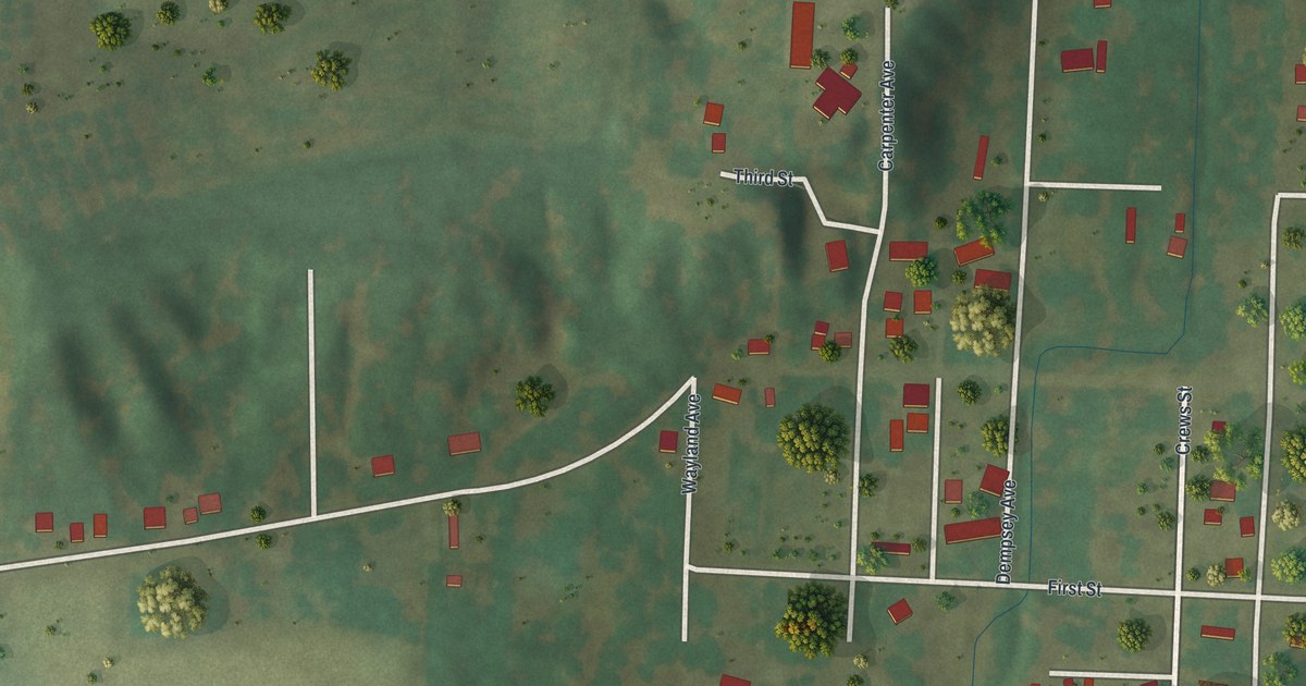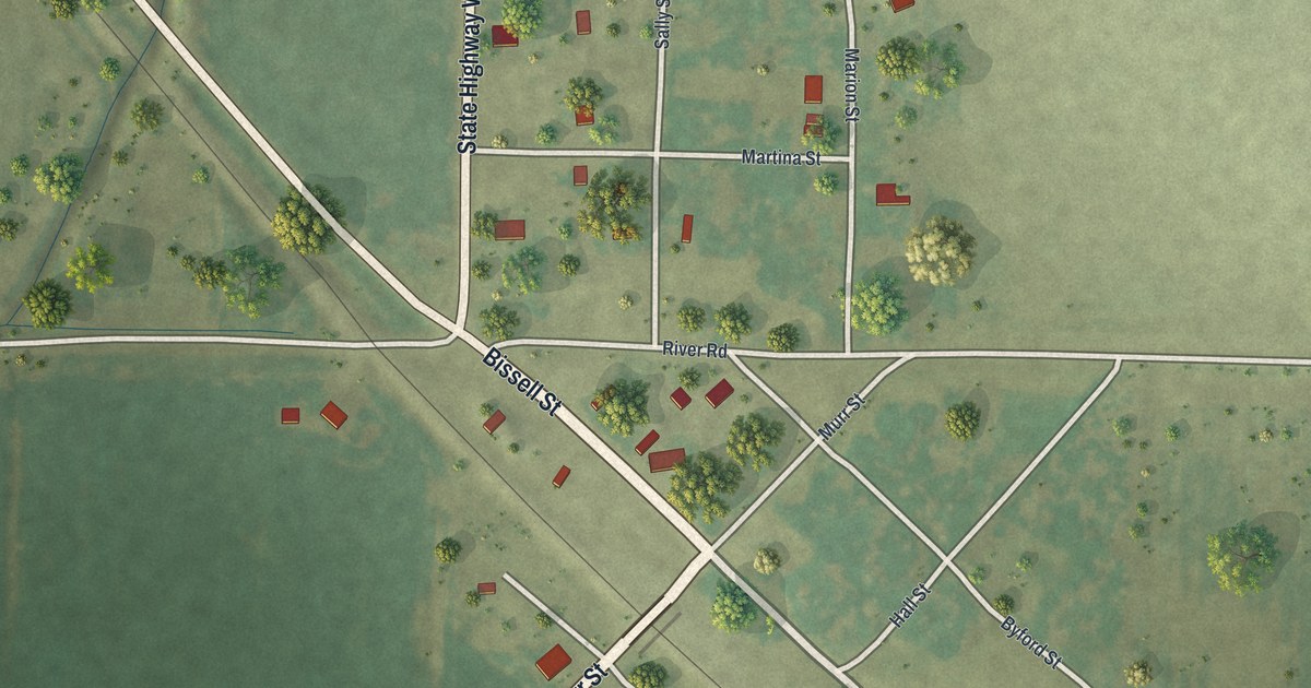
If your family came from Corning, or you still drive Bissell Street past the fields, this map is for you. It's a new aerial view of Corning in Holt County, Missouri, made from modern data and given a vintage look. The small grid of streets sits in the middle of the sheet, with wide green farm fields on every side. A rail line cuts across it from corner to corner, and trees dot the edges of town.
Bissell Street, Walters Street and the Streets of Corning
On this map you'll find Bissell Street, Walters Street, State Highway West, River Road, Murr Street, Hall Street, Taylor Street, Byford Street, Marion Street, Mayberry Street, Martina Street, Sally Street, Goat Path, and more. Each red shape is a building, so zoom in on the preview and look for yours.
Where the Tarkio Valley Branch Began
Corning was a railroad town. The 1917 History of Holt County lists eleven train stations in the county, and Corning is one of them. The book says the Tarkio Valley Branch left the main line at Corning and ran on into Atchison County. Both lines were part of the Chicago, Burlington and Quincy system. On the map, look for the thin straight rail line running beside Bissell Street.
The Corning Ditch of 1872
Corning's name is also on the first ditch ever proposed to drain the county's bottom land. Six men asked the county court for the Corning ditch in August 1872. The first team sent to study it said the plan wouldn't work. So the case was opened again with new men in charge. Years later, in 1909, landowners near Corning met again. Their low fields had raised only two crops in eight years. Flat farm fields surround the town on this map today.
St. John's Lutheran Church on Walters Street
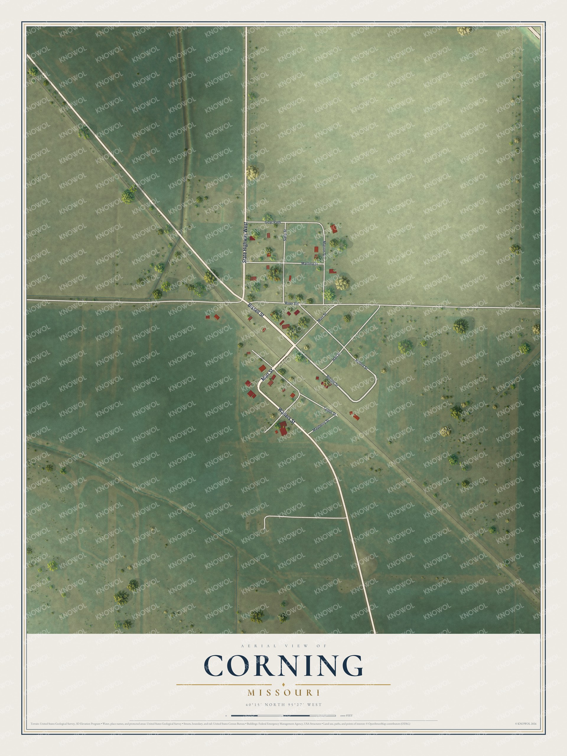
Created by KNOWOL in 2026, this print shows Corning from above in soft greens, with pale streets, red buildings and scattered trees. The title panel reads "Aerial View of Corning, Missouri" and gives the spot as 40°15' North 95°27' West.
St. John's Evangelical Lutheran Church and Parochial School stands at 112 Walters Street. It was added to the National Register of Historic Places in 2008. This print fits a den, a kitchen or a hallway by the front door. It's a good gift for someone who grew up near St. John's, or anyone with Holt County roots who moved away. Open the preview and find your own street. See sizes and frames for the Corning map.