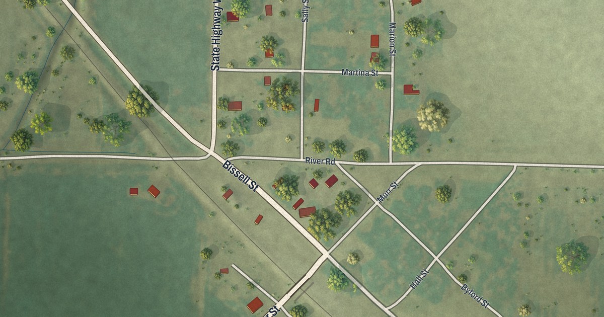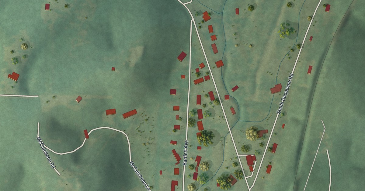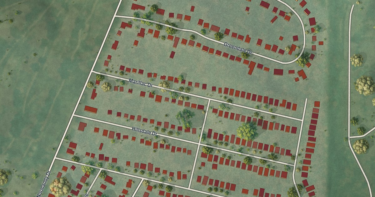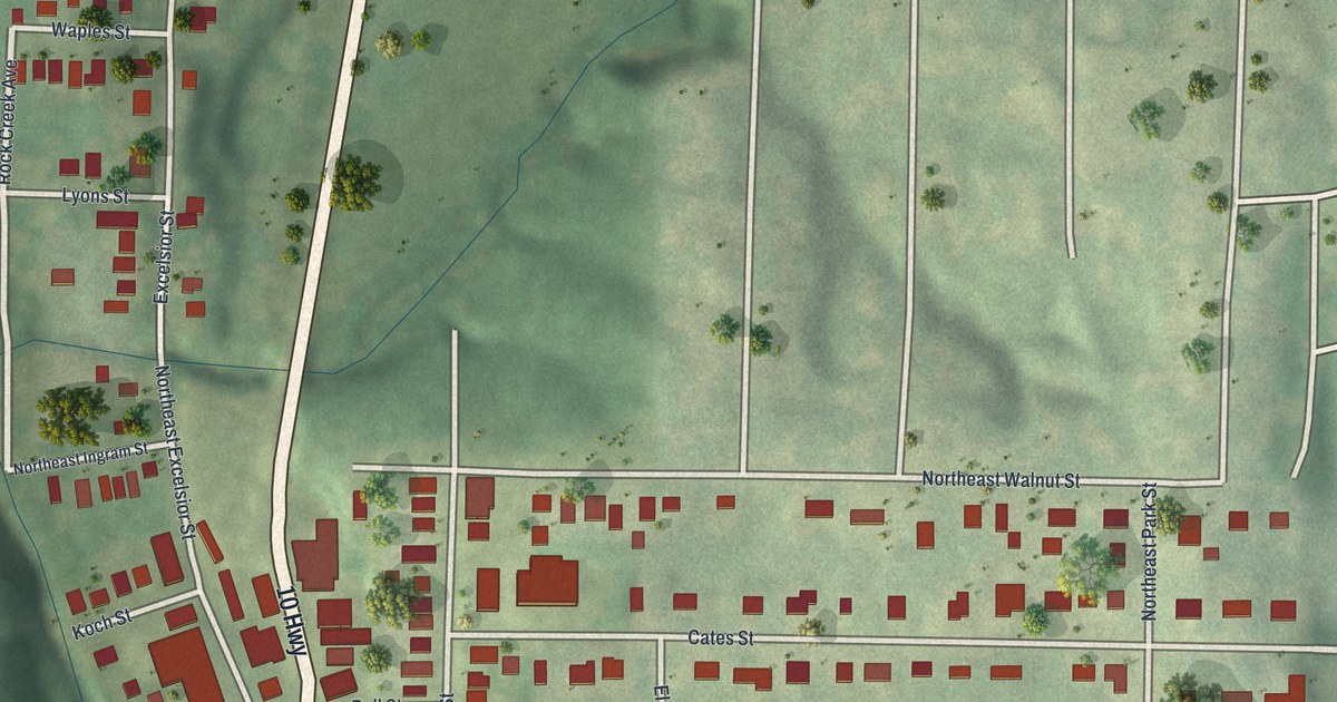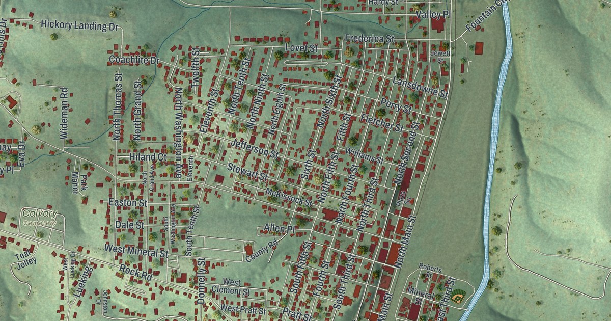
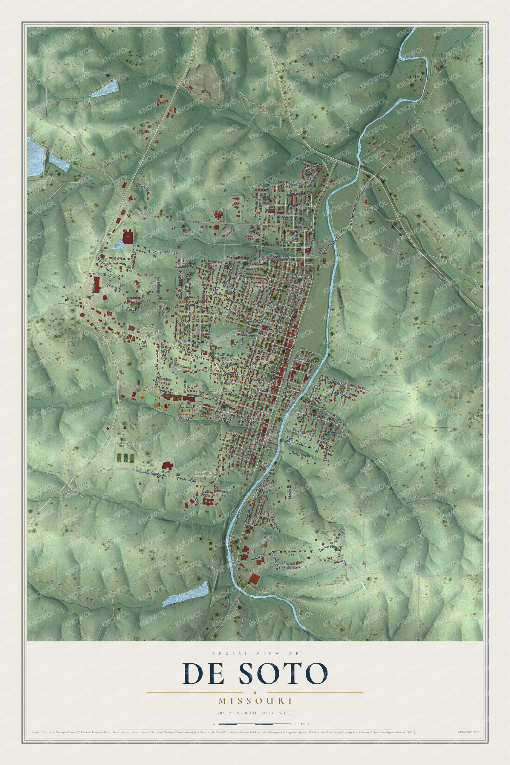
If you grew up in De Soto, look for your old block on this print. It's a modern aerial view of De Soto in Jefferson County, Missouri, made with modern data and a vintage feel. Close rows of red buildings fill the town's streets. Green hills rise around them, and a blue creek winds through the view.
North Main Street and familiar blocks
On this map you'll find North Main Street, South Main Street, Spross Park, Vineland School Road, West Saint Louis Street, Easton Street, West Miller Street, Jefferson Street, Boyd Street, Clarke Street, and more. Each red shape is a building, so zoom in on the preview and look for yours.
Two De Soto places are on the National Register of Historic Places. The National Park Service's National Register record lists the Central School Campus at 221 South Third Street, added in 2009. The Louis J. and Harriet Rozier House at 322 West Clement Street was listed in 2006. Third Street and West Clement Street are both printed on this map, so locals can find them. Green hills wrap around the town and the creek runs along its east side.
De Soto for your wall
Names on this map
These names are printed on this map.
Places: Calvary Cemetery, City Soccer Park, Woodlawn Memorial Park and Spross Park.
Streets and roads: South Main Street, Easton Street, West Miller Street, Culwell Drive, Vineland School Road, West Saint Louis Street, Vine Street, Miller Street, Moulton Street, East Kelley Street, North Main Street, Kelley Street.
More street names, A to Z
Allen Place, Ally, Amvets, Amvets Drive, Ball Creek Drive, Barry Place, Berry Drive, Blow Road, Blow Street, Bogy Street, Boyd Street, Branch, Cedar Street, Cedar Valley Drive, Church Road, Clarke Street, Clement Street, Coachlite Drive, College Street, Concord Street, County Road, Dale Street, Deer Creek Drive, Delaine Avenue, Desoto Drive, Dewitte Street, Dewitt Street, Donaldson Street, Donna Drive, Donnelly Street, East Clement Street, East Main Street, East Miller Street, East Plattin Street, East Pratt Street, East Saint Louis Street, East Stone Street, East Third Street, Eastwood Drive, Eleventh, Eleventh Street, Elm Street, Essex Heights Drive, Essex Street, Eva Drive, Fifth Street, Fletcher Street, Flucom Road, Fountain City Road, Fourth Street, Frederica Street, Hardy Street, Harper Drive, Hickory Landing Drive, Highway East, Hiland Court, Hillcrest Drive, Jefferson Square, Jefferson Street, Jewett Street, Joachim Street, Johnston Drive, Kennett Street, Kingston Street, Klaus Drive, Koch Lane, Lake Street, Lansdowne Street, Latham Drive, Lindenwood Drive, Lockwood Drive, Lovet Street, Lueking, Lueking Drive, Main Street, Maple Street, McKissock Street, Merrill Street, Mineral Street, New Boyd Street, North Eighth Street, North Fifth Street, North Fourth Street, North Grand Avenue, North Grand Street, North Ninth Street, North Second Street, North Seventh Street, North Sixth Street, North Tenth Street, North Third Street, North Thomas Street, North Washington Avenue, Oak, Oak Drive, Old Boyd Street, Old State Route 110, Olive Street, Otke Drive, Parklane Road, Park Manor, Parkview Street, Patrica Lee Estates Drive, Perry Street, Phar's Lane, Plattin Street, Plaza Square, Poplar Street, Pratt Street, Rathburn Street, Roberts Street, Rock Road, Rollans Street, Ronay, Scenic Hills Drive, Second Street, Shepard Drive, Sixth Street, Skyline Drive, South Fifth Street, South Fourth Street, South Second Street, South Tenth Street, South Third Street, South Washington Avenue, Spangler Drive, State Highway East, Stewart Street, Stone Street, Teal Jolley, Third Street, Towne View Drive, Twelfth Street, Valley Place, Veterans Drive, Villa Drive, Vineland Road, West Clement Street, West Kelley Street, West Lueking Drive, West Mineral Street, West Pratt Street, West Stone Street, Wideman Road, Williams Street.
Created by KNOWOL in 2026, this print pairs green shaded hills with blue water and red building shapes. A cream border surrounds the view. The title panel reads AERIAL VIEW OF, DE SOTO, MISSOURI, with 38°09' NORTH 90°34' WEST below.
Hang it in a living room, home office, or entryway. It's a gift for someone with family near Spross Park, or someone who moved away from De Soto. Open the preview and find the streets you'd like to keep close. See sizes and frames for the De Soto map.