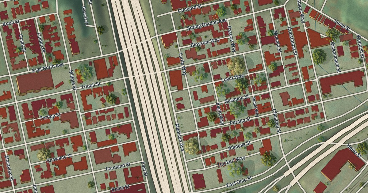
If you grew up on Madison Avenue or still know every corner of East Ohio Street, this print was made with you in mind. It's a modern aerial view of East Allegheny, on the North Side of Pittsburgh in Allegheny County, Pennsylvania, made from modern data with a vintage feel. Red buildings fill the blocks on both sides of a wide highway. Green hills rise along the top. A blue river cuts across the lower corner, with a long bridge over it.
Avery College at Nash and Avery Streets
On this map you'll find East Ohio Street, Madison Avenue, Chestnut Street, Nash Street, Avery Street, Lockhart Street, Tripoli Street, James Street, Spring Garden Avenue, Vinial Street, Cedar Avenue, North Canal Street, Heinz Street, and more. Each red shape is a building, so zoom in on the preview and look for yours.
In 1849, Charles Avery started a college in this neighborhood. A state marker on Ohio Street says Avery College stood at Nash and Avery Streets. Avery was a Methodist lay preacher and an abolitionist. He founded the school to give Black students a classical education. Later, George B. Vashon served as its president. His own state marker says he was Oberlin College's first Black graduate, in 1844. He also helped found Howard University. Both Nash Street and Avery Street are printed on the map, so you can find the corner where the college stood.
Latimer School and the House on Lockhart Street
Two more spots here are on the National Register of Historic Places. Latimer School, at Tripoli and James Streets, was listed in 1986. The house at 417 Lockhart Street was listed in 2025. Pauline Hanauer Rosenberg lived there. She helped found the National Council of Jewish Women and became its second president. Her marker says she worked for women, children, immigrants and the poor. Up on Vinial Street, the old Eberhardt and Ober Brewery was listed in 1987.
East Ohio Street and the North Side Blocks
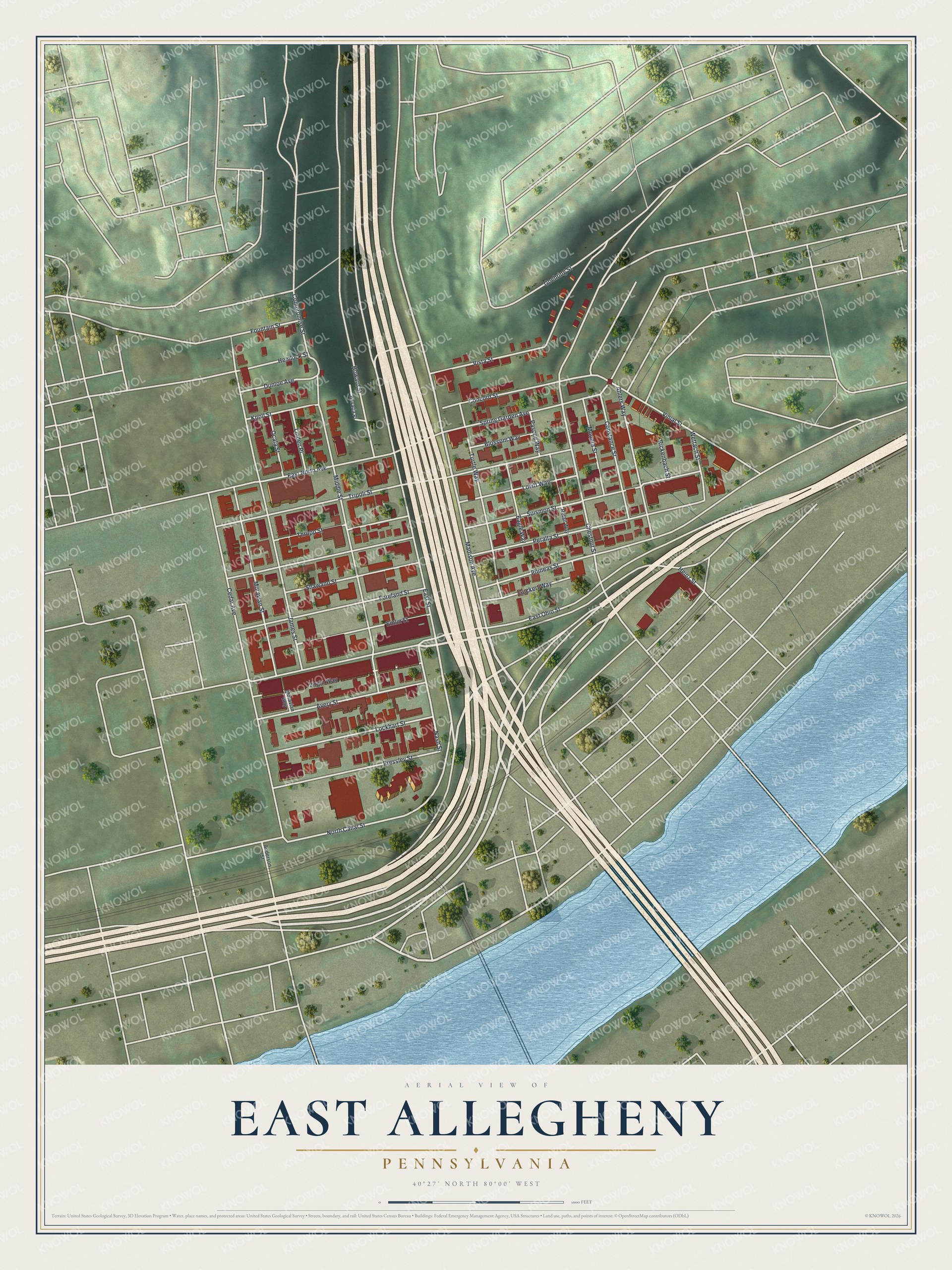
Created by KNOWOL in 2026, this print shows the neighborhood from above. The hills are soft green, the buildings are red and the roads are cream. The title panel reads "Aerial View of East Allegheny, Pennsylvania" with the coordinates 40°27' North 80°00' West.
It fits a kitchen, a front hall or a home office. It's a thoughtful gift for someone who remembers Latimer School, a family that once lived on Lockhart Street, or a friend who moved away from the North Side. Open the preview and find your block. See sizes and frames for the East Allegheny map.