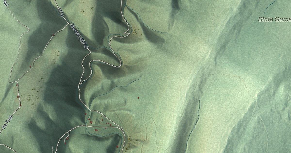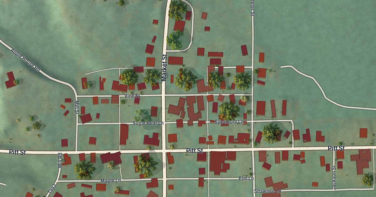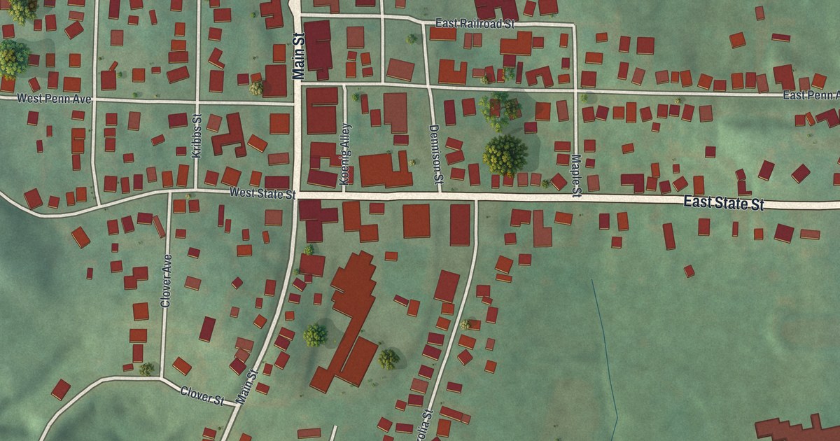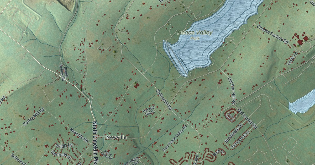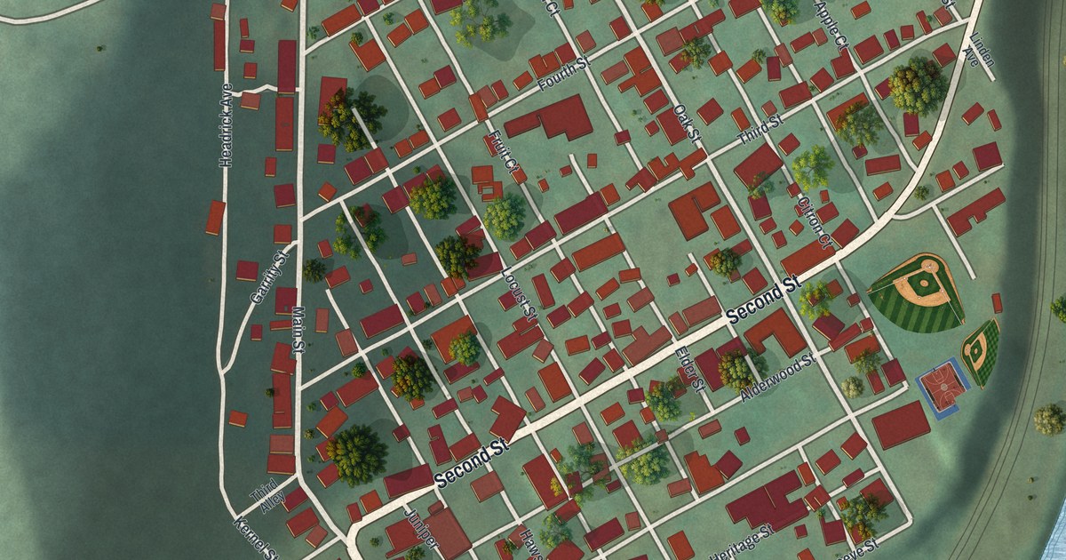
If you grew up on Main Street or Second Street in East Conemaugh, this print was made with you in mind. It's a modern aerial view of East Conemaugh in Cambria County, Pennsylvania, built from modern data and given a vintage look. Steep green hills wrap around the town's tight grid of streets. A blue river curves along the east and south sides of town, with railroad tracks beside it. Main Street crosses the water on a bridge, and two ball fields sit at the east edge of town.
Main Street, Second Street and Apple Court
On this map you'll find Main Street, Second Street, Parkhill Drive, Cambria Street, Railroad Street, Jackson Street, Oak Street, Locust Street, Chestnut Street, Linden Avenue, Headrick Avenue, Apple Court, Pear Court, Grape Court, Lemon Court, and more. Each red shape is a building, so zoom in on the preview and look for yours.
How East Conemaugh Became a Borough in 1868
East Conemaugh has been its own borough since 1868. The History of Cambria County, printed in 1907, tells how it started. The borough was taken from Taylor Township by order of the court. That order is dated September 10, 1868. The next year, a new district court was set up with its courthouse in Johnstown. East Conemaugh was one of the boroughs it served. Johnstown, Conemaugh, Millville, Cambria, Prospect and Franklin were on the list too. So was Taylor Township, the land East Conemaugh came from.
The old borough's center is easy to find on the map. Main Street and Second Street meet near the middle of town, among the red roofs. Many of the small courts carry the names of fruit and spice. Look for Citron Court, Damsen Court and Nutmeg Court among them.
Keep Main Street in East Conemaugh Close
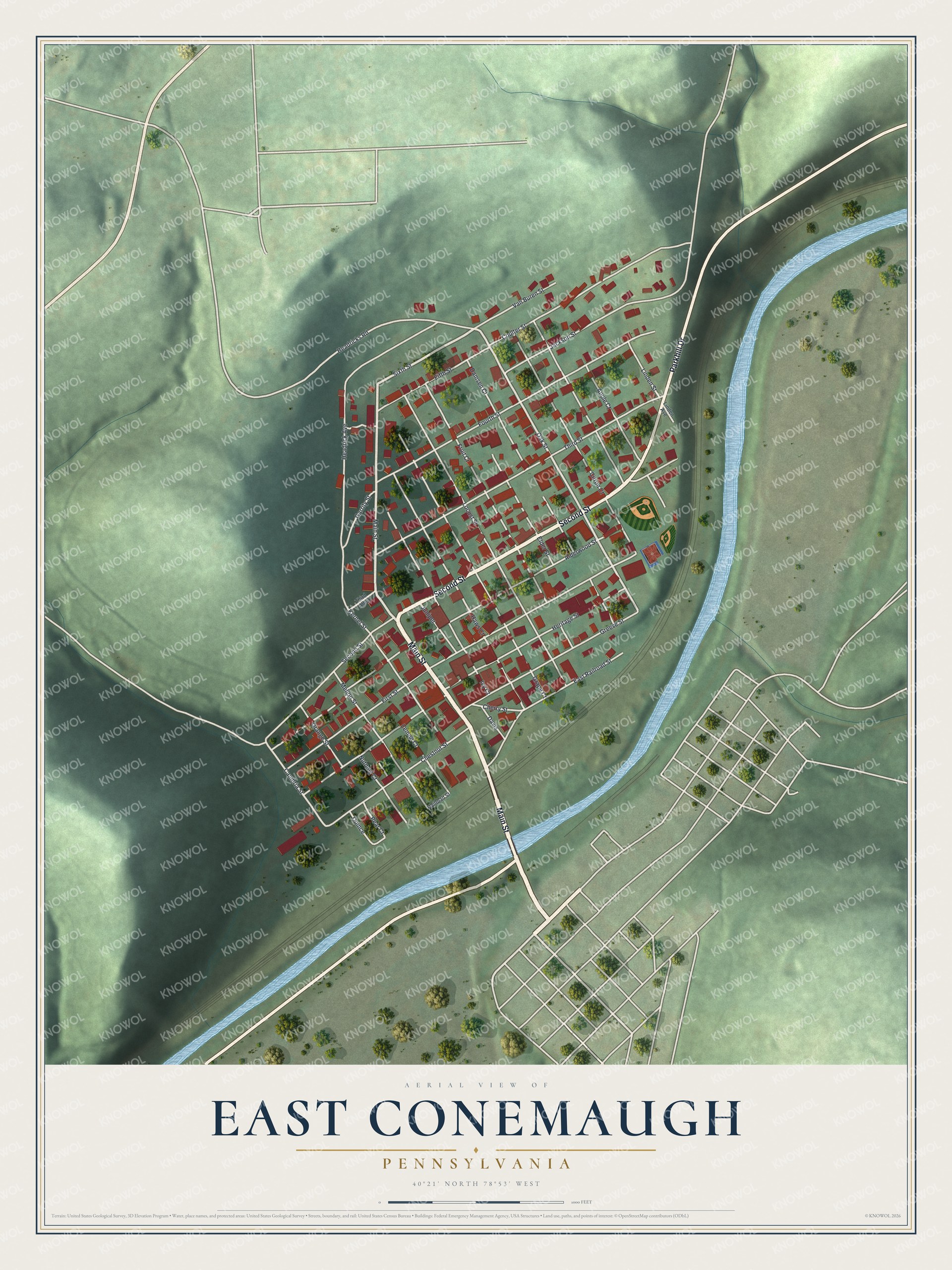
Created by KNOWOL in 2026. The print shows shaded green hills, a pale blue river, cream streets and red buildings, with a clean cream title panel at the bottom. The panel reads Aerial View of East Conemaugh, Pennsylvania, with the coordinates 40°21' North 78°53' West.
It fits well in a living room, a hallway or a home office. It's a kind gift for anyone who grew up on Main Street or Cambria Street and has since moved away. Open the preview and find your own street. See sizes and frames for the East Conemaugh map.