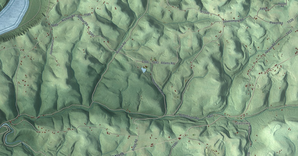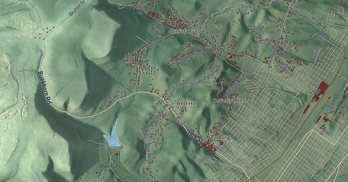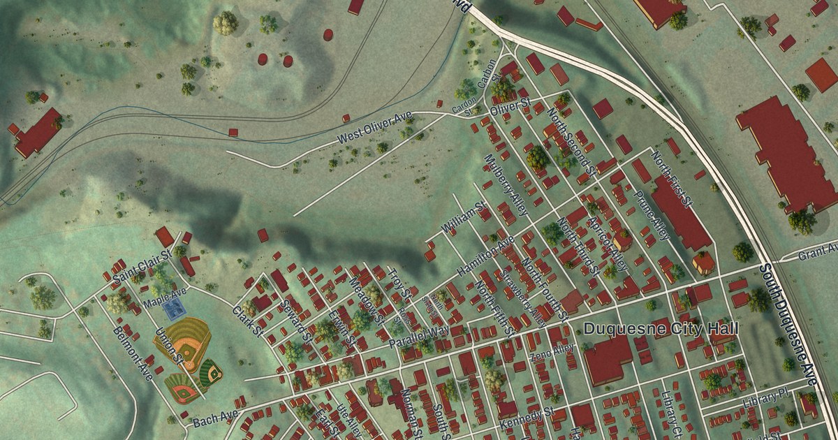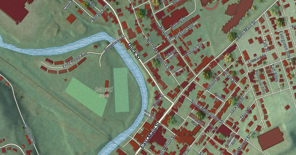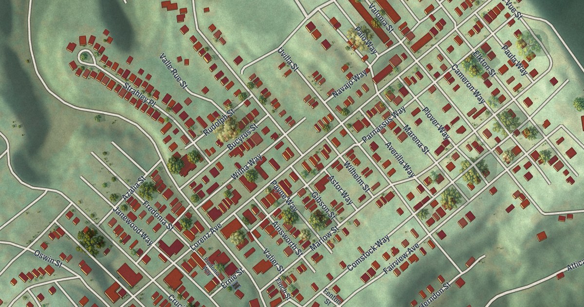
If you grew up on the hill above West Carson Street, or played ball at Herschel Park, this map was made for you. It's a modern aerial view of Elliott in Allegheny County, Pennsylvania, drawn from modern data and given a vintage look. You can see the steep green hills, the tight rows of red buildings, Saint Martins Cemetery near the top, and a wide blue river in the corner.
Streets Around Herschel Park and Saint Martins Cemetery
On this map you'll find West Carson Street, Chartiers Avenue, Steuben Street, Lorenz Avenue, South Main Street, Elliott Street, Herschel Street, Lakewood Street, Crucible Street, Fairview Avenue, Herschel Park, Saint Martins Cemetery, West End Park Drive, and more. Each red shape is a building, so zoom in on the preview and look for yours.
Elliott sits high on a hill. On the map, deep green hollows drop away on almost every side. A wide blue river fills the top right corner, with West Carson Street beside it. Saint Martins Cemetery takes up an open slope near the top. At the bottom left, you can pick out the ball fields at Herschel Park from above. The West End sits low in the valley at the bottom right. Some street names on the hill sound far from home. Attica Street, Sparta Street, Corfu Street and Parnassus Way share the blocks with Rue Grande Vue and Valle Rue Street. Rue is the French word for street.
West Carson Street and John Roebling's Bridge
West Carson Street is a long road. Well away from Elliott, at the Smithfield Street Bridge, a state historical marker stands beside it. The marker says John A. Roebling built a bridge there in 1846. It was the first wire rope suspension bridge to carry a highway over the Monongahela River. Roebling also designed the Brooklyn Bridge. The West Carson Street on this map is that same road, down by the water below Elliott.
From Herschel Park to Saint Martins Cemetery
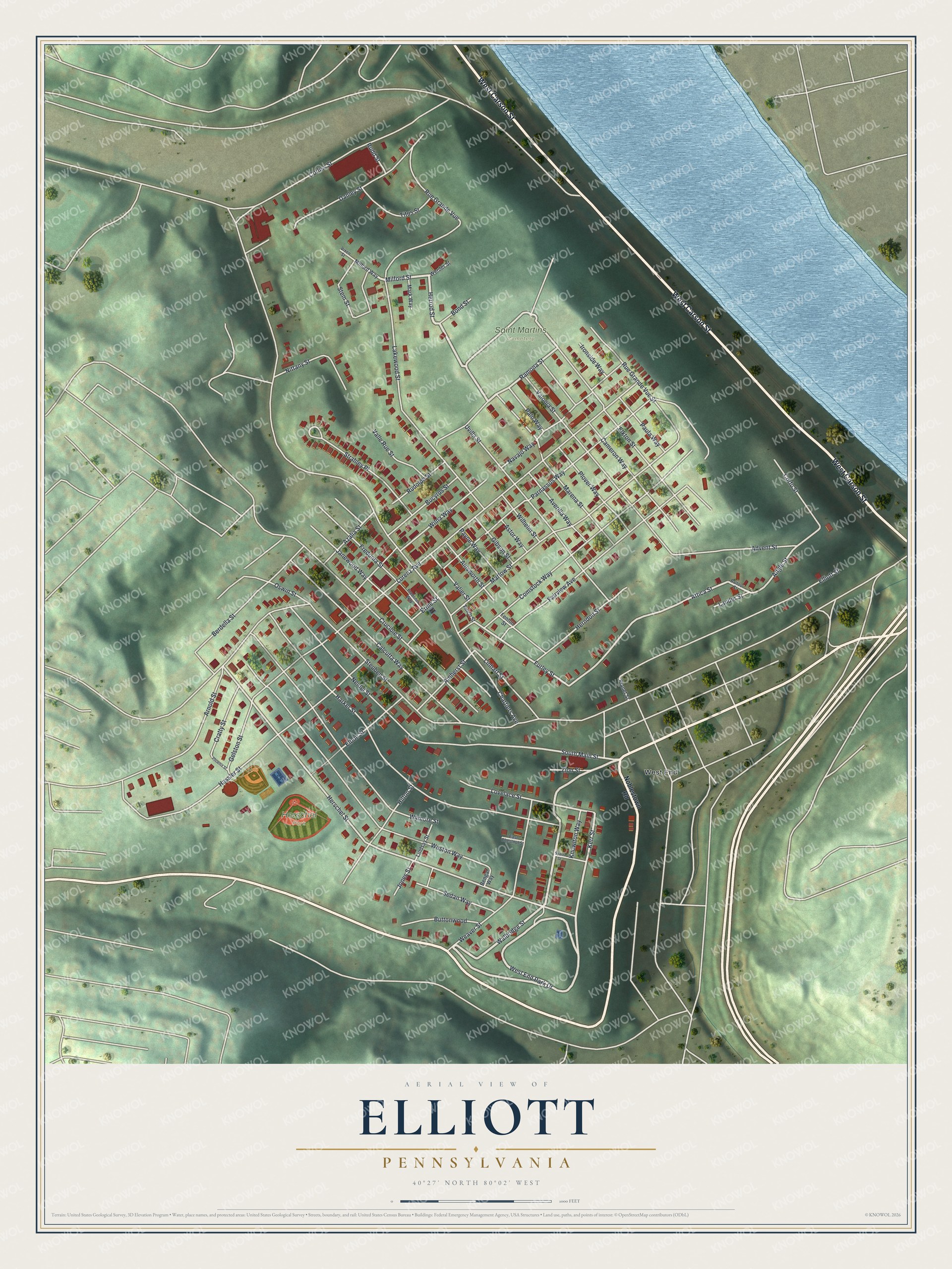
Created by KNOWOL in 2026. The print shows Elliott from above, with shaded green hills, red buildings, pale roads and a blue river in the top corner. The cream title panel reads Aerial View of Elliott, Pennsylvania, with 40°27' North 80°02' West set below it.
It fits a living room, a front hall or a home office. It makes a good gift for someone who grew up near Herschel Park, or for anyone who moved away from Elliott and still thinks about the hill. Open the preview and find your street. See sizes and frames for the Elliott map.