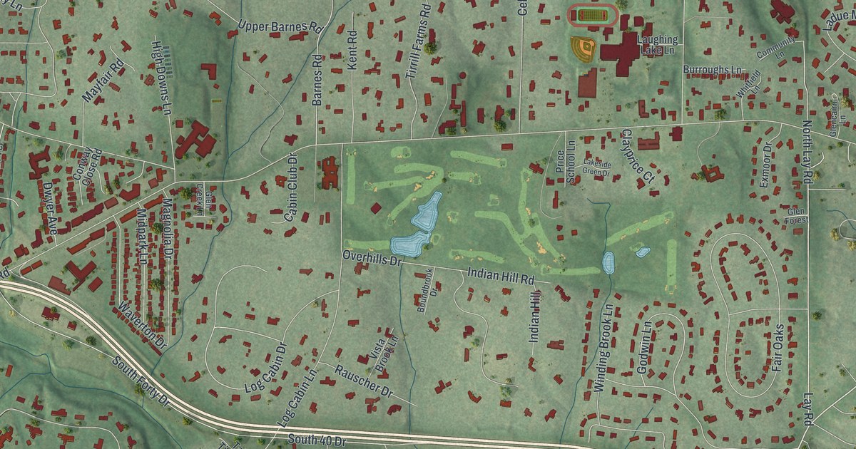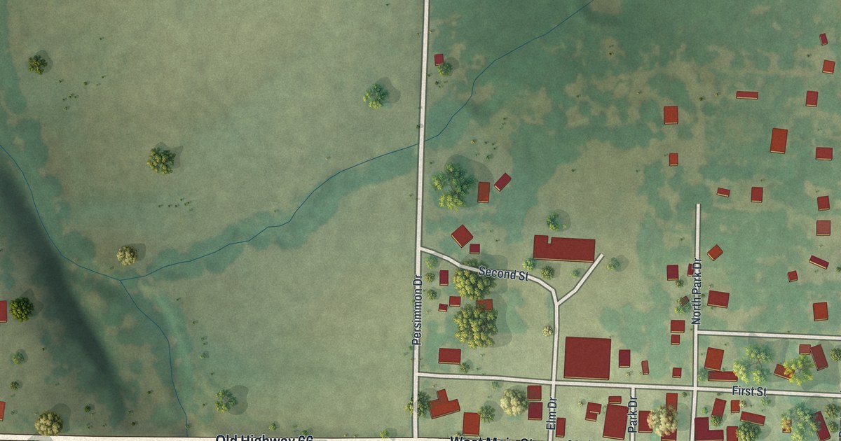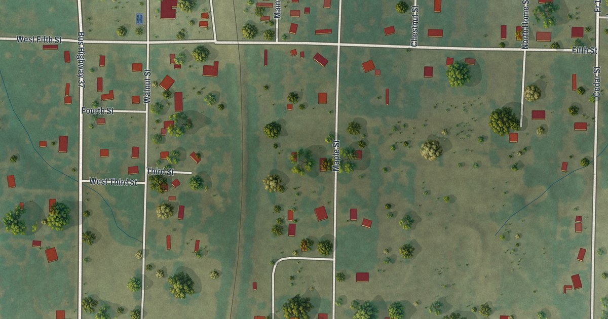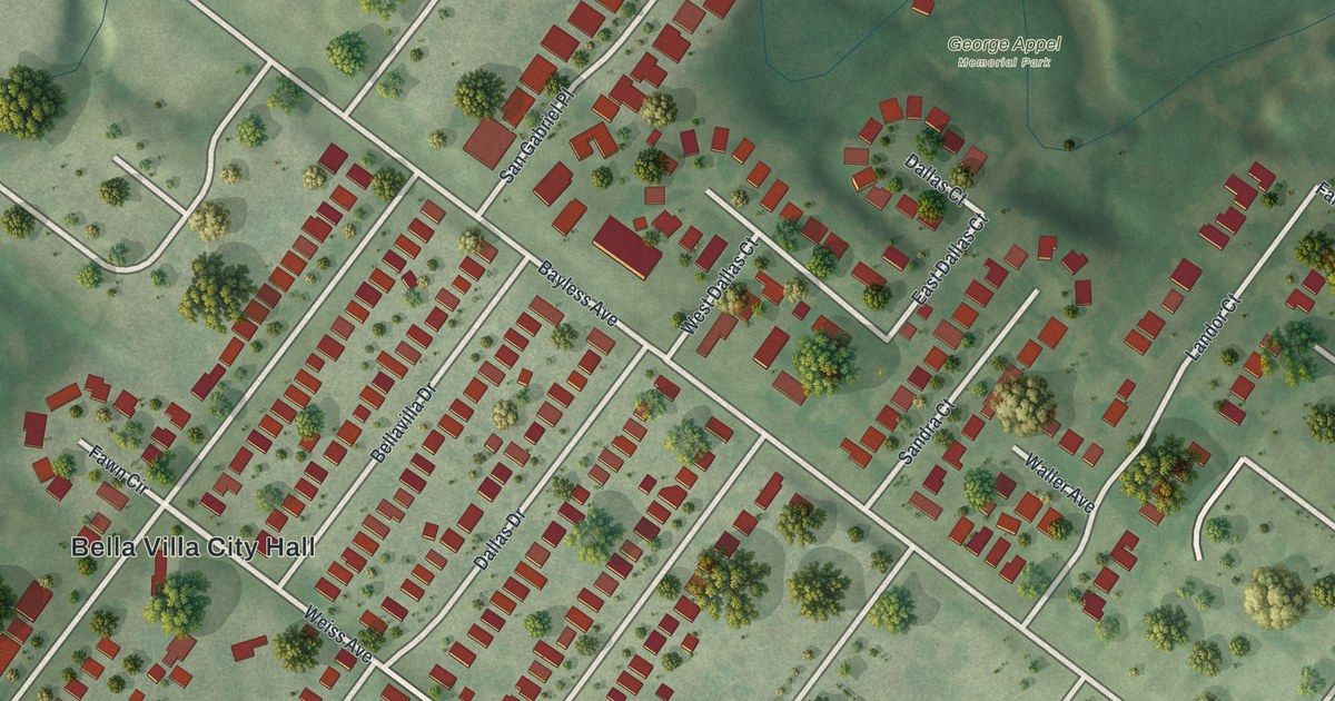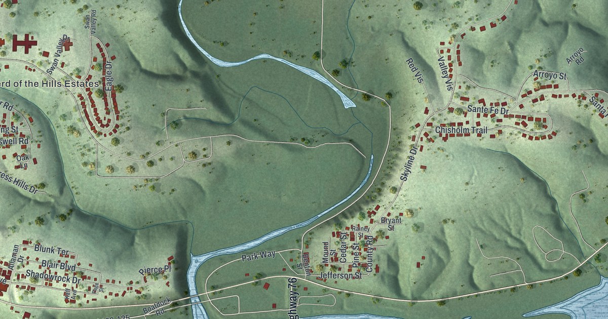
If you grew up in Forsyth, you'll find familiar streets among these green hills. This modern aerial view of Forsyth in Taney County, Missouri uses modern data with a vintage feel. Blue water bends around the hills, and red buildings line the streets.
Coy Boulevard and Forsyth's streets
On this map you'll find Coy Boulevard, East State Highway 76, Shepherd of the Hills Estates, Shadowrock Drive, Sunken Forest Drive, Park Way, Jefferson Street, Elm Street, Spring Street, Pine Street, and more. Each red shape is a building, so zoom in on the preview and look for yours.
The Forsyth name beneath the map has a link to Georgia. The State Historical Society of Missouri's place-name account says the town was named for John Forsyth of Georgia. He served as Secretary of State from 1834 to 1841. That's the person behind the large FORSYTH title below the water and hills.
Forsyth's hills and blue waterways
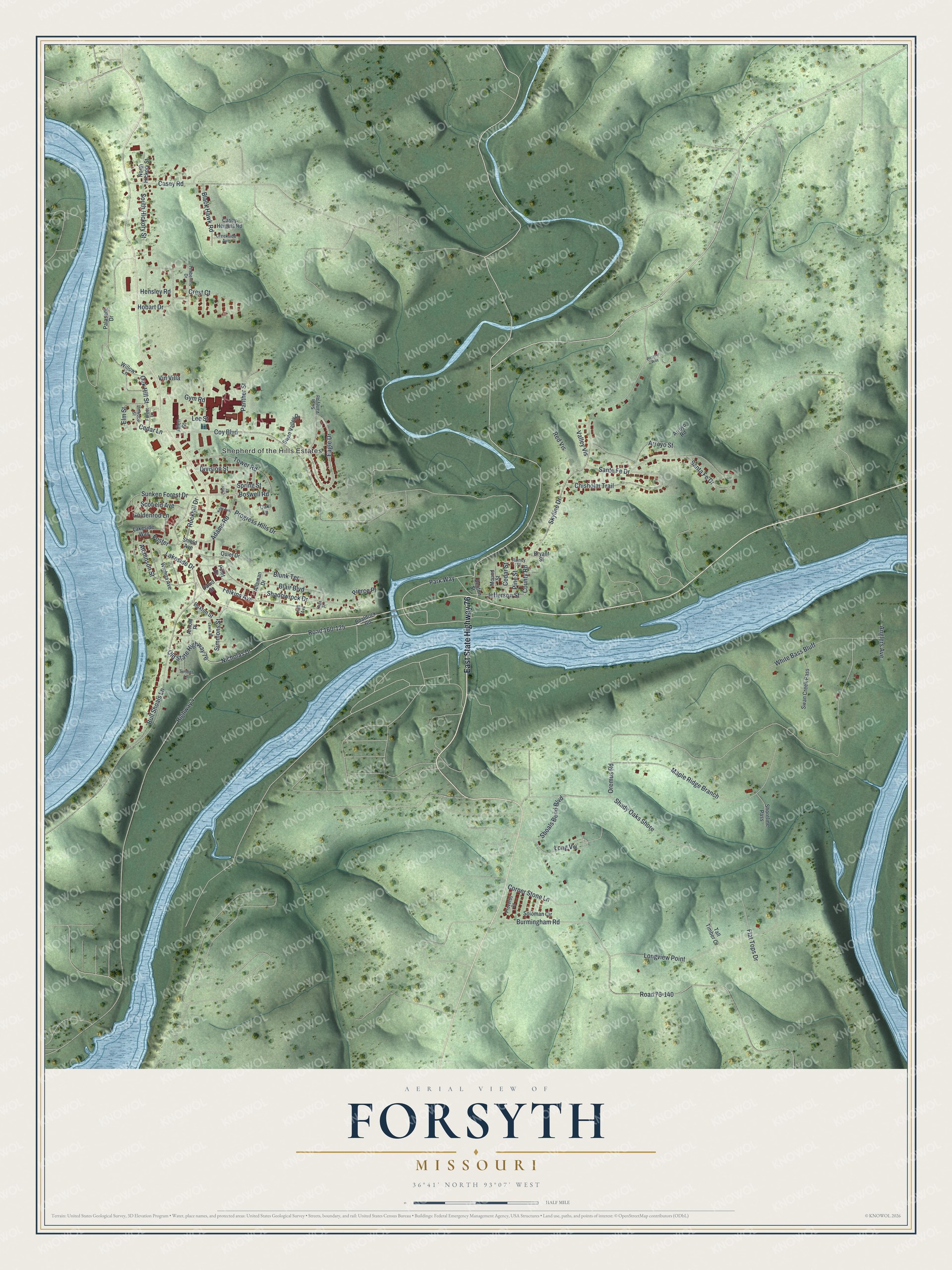
Created by KNOWOL in 2026, the print pairs shaded green hills with blue water and small red buildings. A cream border surrounds the view. The title panel reads AERIAL VIEW OF, FORSYTH, MISSOURI, and 36°41' NORTH 93°07' WEST.
Hang it in a living room, office, or entryway to keep home close. It's a thoughtful gift for someone with family in Shepherd of the Hills Estates. Open the preview and take a closer look at the streets you know. See sizes and frames for the Forsyth map.