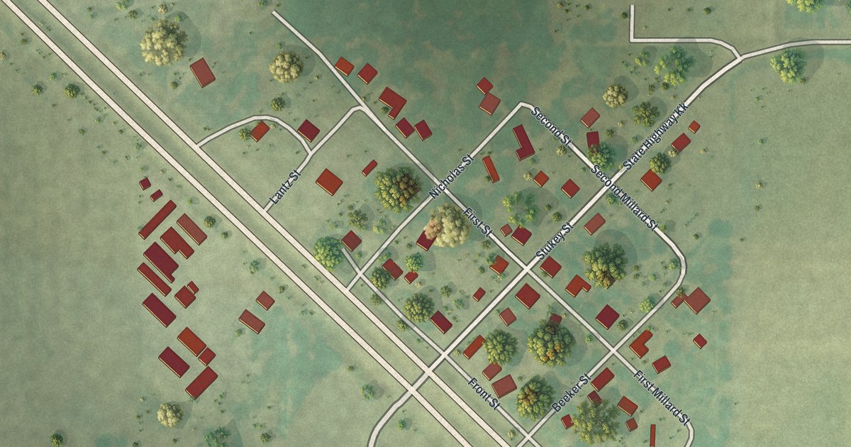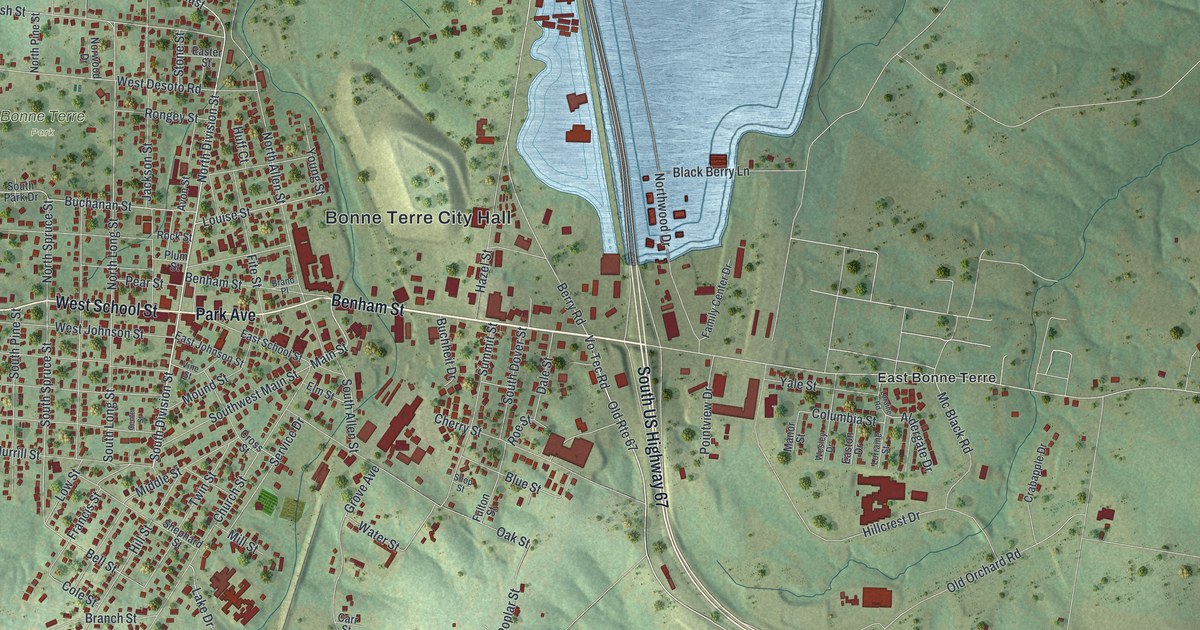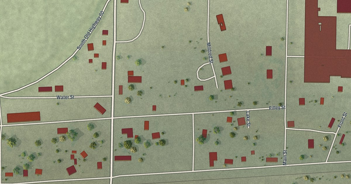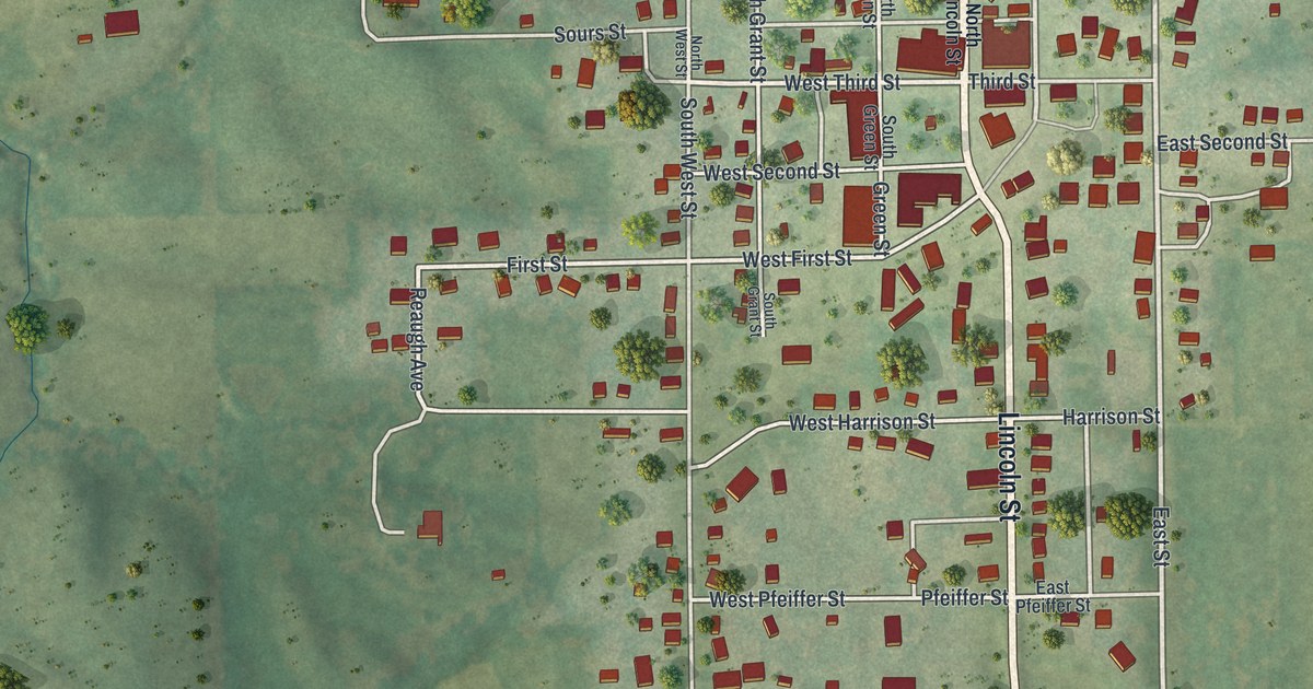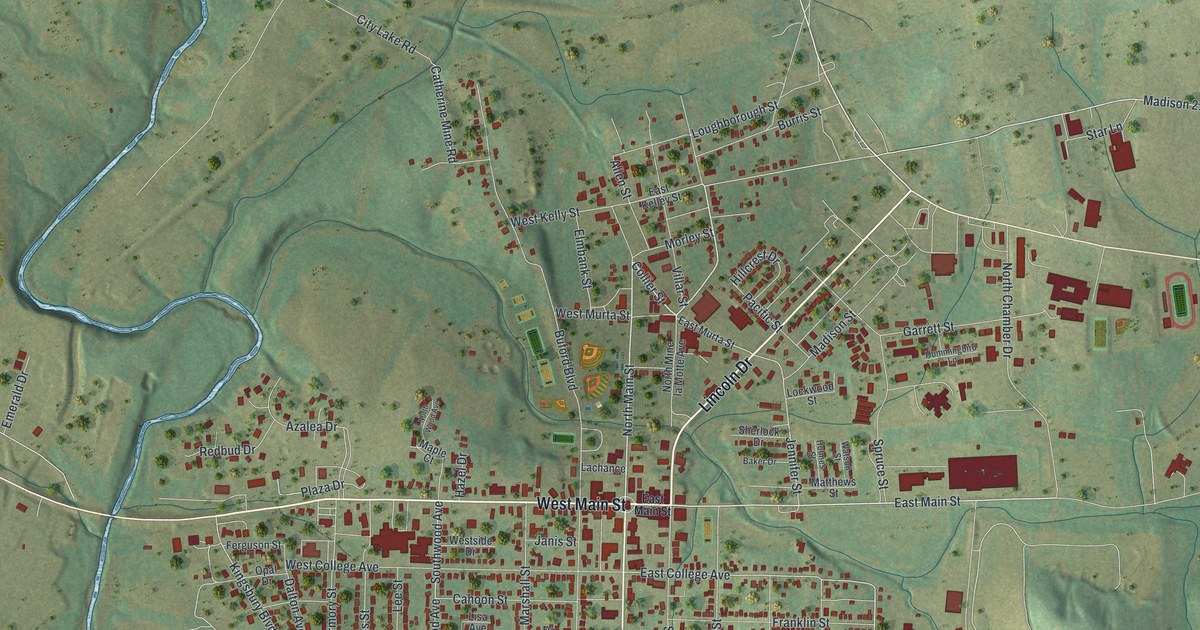
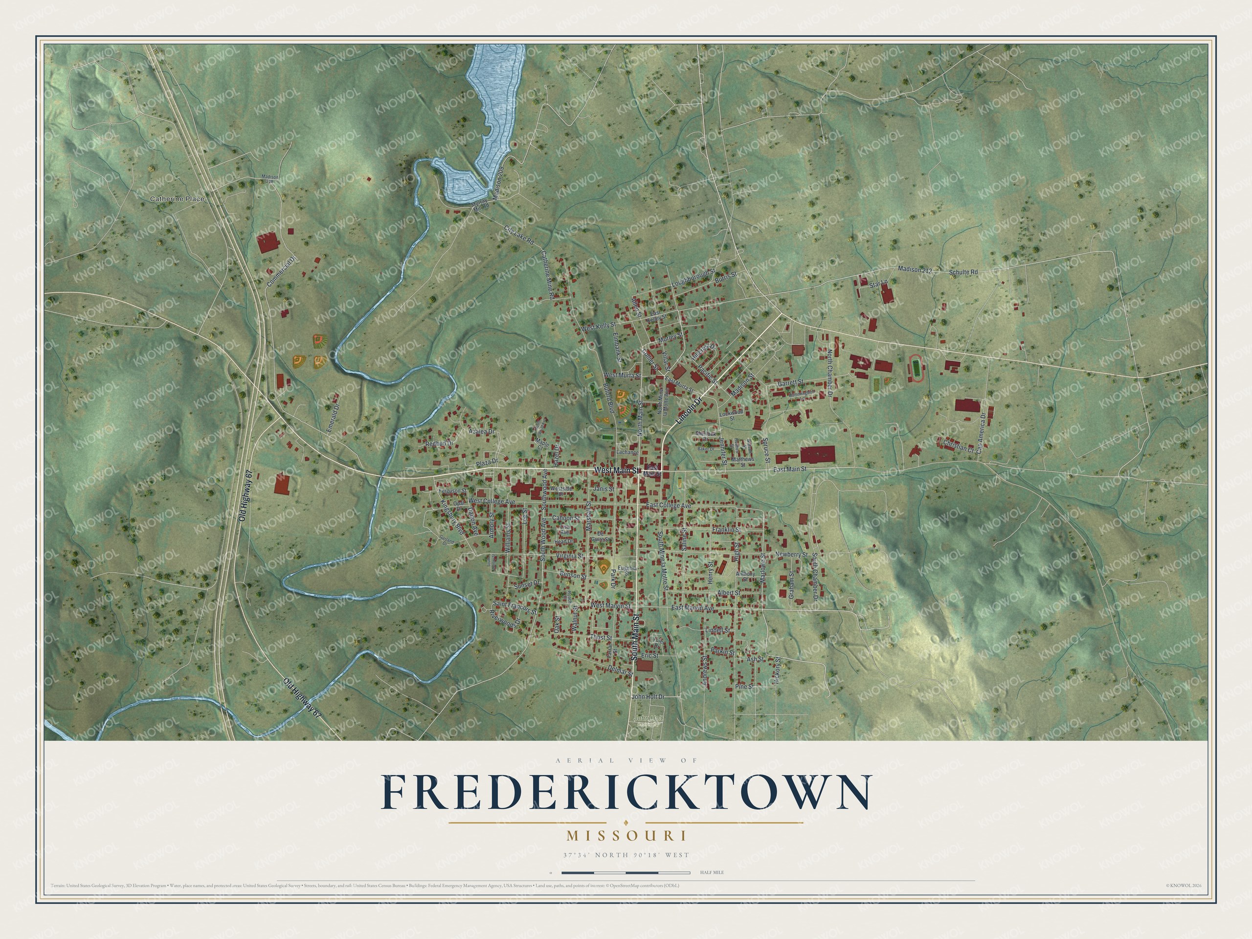
If you grew up in Fredericktown or still have family on West Main Street, this map shows your town from above. It's a modern aerial view of Fredericktown in Madison County, Missouri, made from modern data in soft greens with a vintage feel. You can see the tight grid of streets around Main Street and a creek that winds past the west side of town. A blue lake sits at the top, and green hills roll out on every side.
West Main Street and the streets of Fredericktown
On this map you'll find West Main Street, East Main Street, North Main Street, South Main Street, Villar Street, Allen Street, East College Avenue, West College Avenue, Lincoln Drive, Old Highway 67, City Lake Road, Kingsbury Boulevard, South Mine la Motte Street, Catherine Place, and more. Each red shape is a building, so zoom in on the preview and look for yours.
How Fredericktown got its name
Older historians say Fredericktown was named for George Frederick Bollinger. That account is kept in a place-names file at the State Historical Society of Missouri. In 1800, Bollinger led a group of settlers from North Carolina. They made their homes in what is now Bollinger County and Cape Girardeau County. Bollinger County was part of Madison County until 1851. Older historians say the big name across the title panel goes back to him.
The Madison County Courthouse and two railroad depots
Four buildings in town are on the National Register of Historic Places. One is the Madison County Courthouse. Another is the post office at 155 South Main Street. The other two are old railroad depots. The Missouri Pacific depot stands at 406 Villar Street. The St. Louis, Iron Mountain and Southern depot is on Allen Street. Find those streets on the preview, and you'll be close to each one.
A Fredericktown map to keep or share
Names on this map
These names are printed on this map.
Places: Catherine Place and John Holt Cemetery.
Streets and roads: Lincoln Drive, West Main Street, South Main Street, Old Highway 67, North Main Street, Collier Street, East Main Street, Marlowe Street, Schulte Road, East College Avenue, Jennifer Street, Kingsbury Boulevard.
More street names, A to Z
Albert Street, Allen Street, Andrews Street, Anthony Street, Armory Street, Ash Street, Azalea Drive, Baker Drive, Benson Street, Buford Boulevard, Burris Street, Cahoon Street, Cap America Drive, Catherine Mine Road, Christian Court, City Lake Road, Commercial Drive, Dalton Avenue, De Guire Street, Delmar Street, East Kelley Street, East Marvin Avenue, East Murta Street, Elmbank Street, Emerald Drive, Eric Street, Eugenia Street, Farrar Street, Ferguson Street, Franklin Street, Garland Drive, Garrett Street, Graham Street, Hazel Drive, Head Drive, Henry Street, Hickory Street, High Street, Hillcrest Drive, Holmes Street, Hummingbird Lane, Janis Street, John Holt Drive, Lachance, Lee Street, Lindell Street, Lisa Avenue, Lockwood Street, Loughborough Street, Madison 209, Madison 212, Madison 218, Madison Street, Maple Court, Marshall Street, Matthews Street, Morley Street, Murray Mill Road, Newberry Street, North Chamber Drive, North Mine la Motte Avenue, North Wood Avenue, Oak Street, Opal Drive, Pacific Street, Park Drive, Parkin Street, Pine Street, Plaza Drive, Redbud Drive, Riverwoods Drive, Roach Court, Saint Francois Street, Saline Street, Sherlock Drive, South Armory Street, South Chamber Drive, South Mine la Motte Street, South Wood Avenue, Southwood Avenue, Spruce Street, Star Lane, Sunset Drive, Thost Street, Toler Drive, Villar Street, Virginia Street, Walnut Street, Watson Street, West College Avenue, West Kelly Street, West Marvin Street, West Murta Street, Westside Drive, Williams Street.
Created by KNOWOL in 2026, this print shows Fredericktown from above in soft greens, with red buildings, blue water and shaded hills. The title panel reads "Aerial View of Fredericktown, Missouri" with 37°34' North 90°18' West set below it.
It fits well in a living room, a hallway or a home office. It's a good gift for someone who grew up near the Madison County Courthouse and now lives far away. Open the preview and find your street. See sizes and frames for the Fredericktown map.