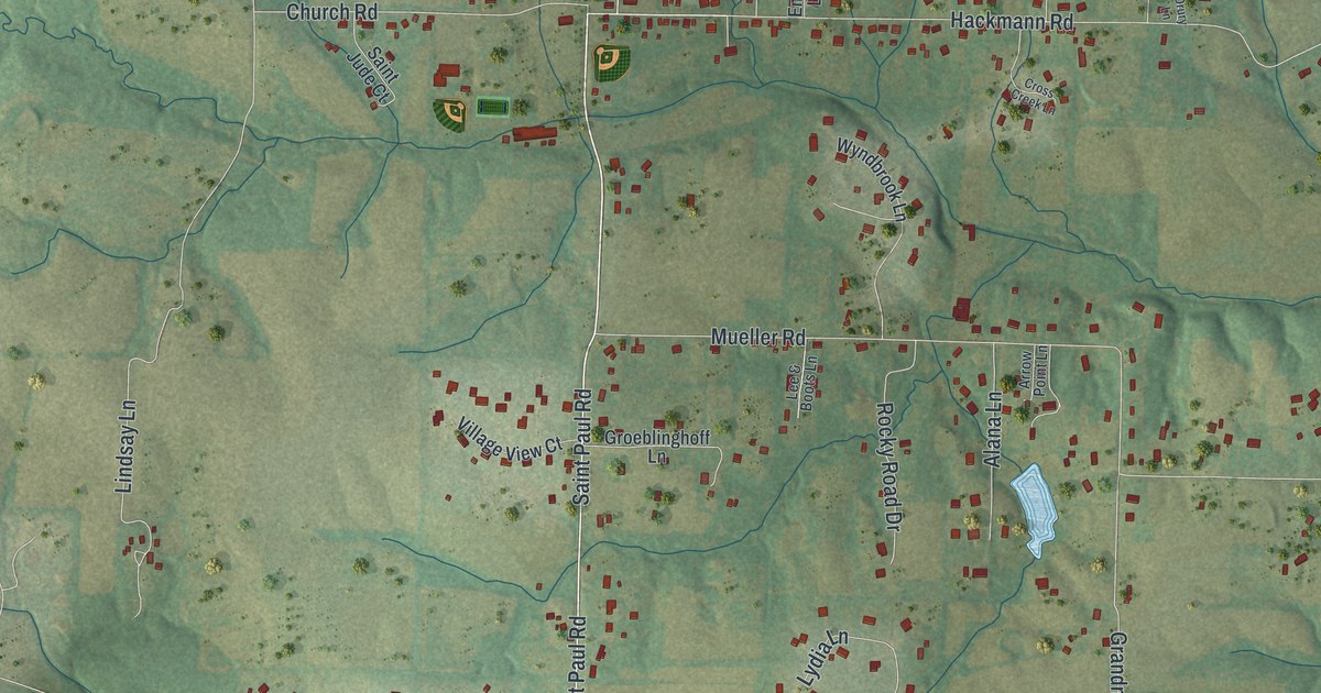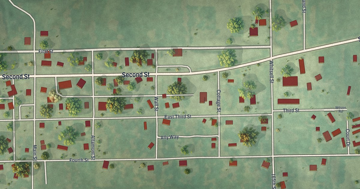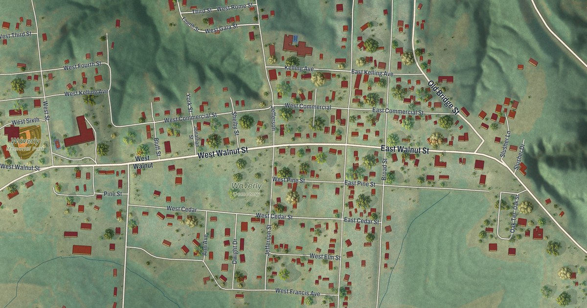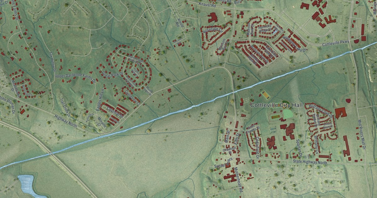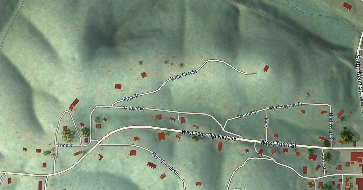
If you grew up in Galena, here's a way to keep home close. This modern aerial view of Galena in Stone County, Missouri pairs modern data with a vintage feel. Green hills fill the print, with a broad blue river beside town. Small red buildings trace the streets and spread into the hills.
Main Street and Galena's Mining Name
On this map you'll find Main Street, South Main Street, West Third Street, Pine Street, Oak Street, South Maple Street, North Maple Street, Craig Avenue, Blunk Road, Cemetery Road, and more. Each red shape is a building, so zoom in on the preview and look for yours.
The name in the title panel has a mining story behind it. The Ramsay Place Names File says Galena was named for lead mines then being developed in the area. It also records the town's earlier name, Jamestown.
Galena on Your Wall
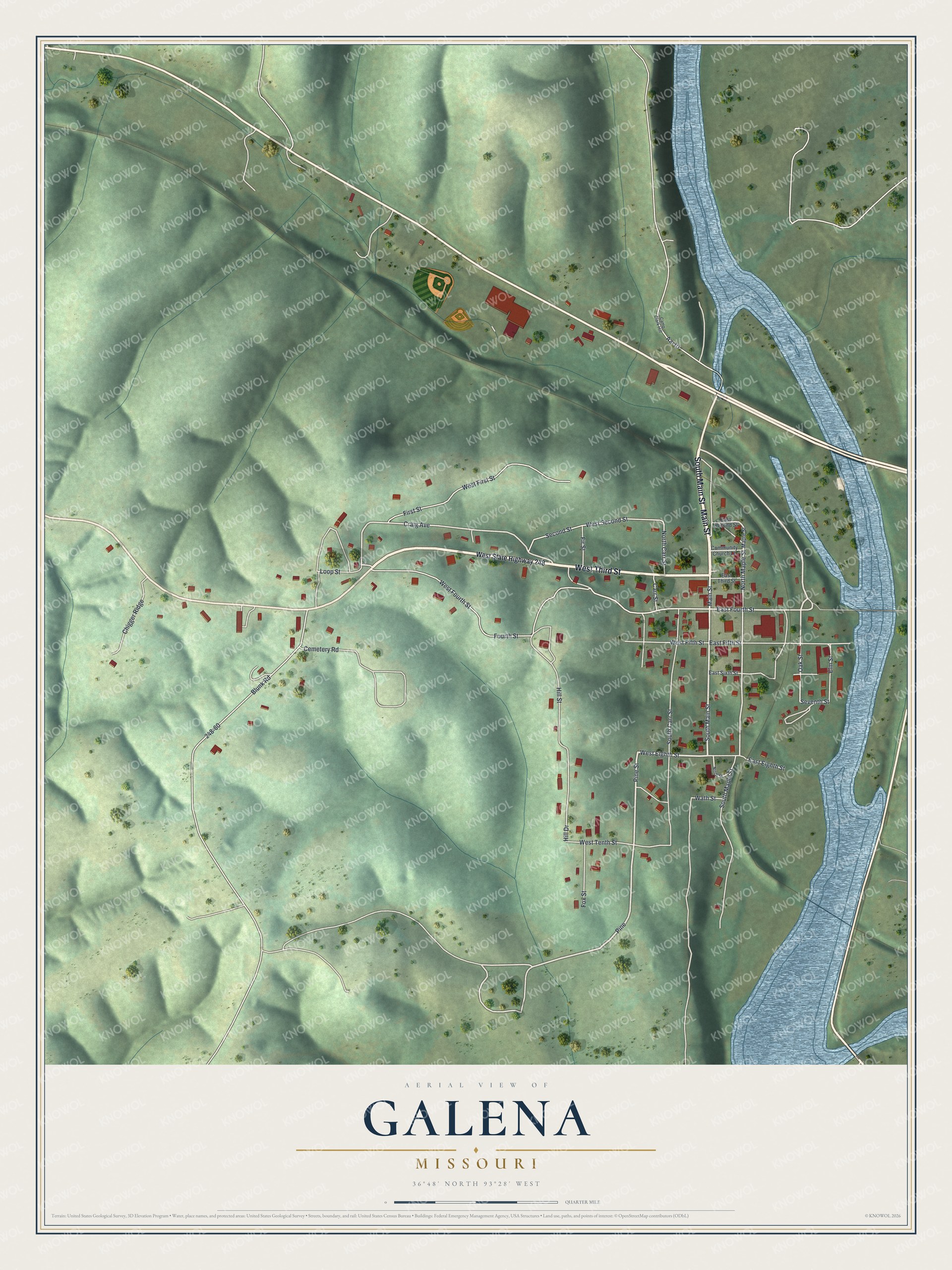
Created by KNOWOL in 2026, the print pairs shaded green hills with blue water, pale roads and red building shapes. A cream border surrounds the view. The title panel reads AERIAL VIEW OF, GALENA, MISSOURI, with 36°48' NORTH 93°28' WEST below.
It's a natural fit for a living room, office or entryway. Give it to someone who grew up near Main Street and now lives away. Open the preview and take a closer look at the streets they know. See sizes and frames for the Galena map.