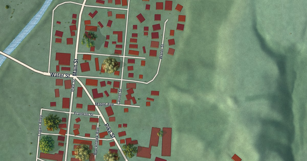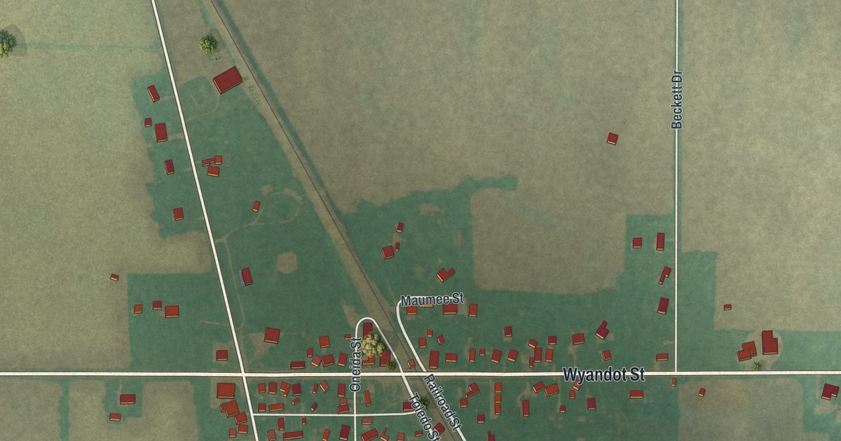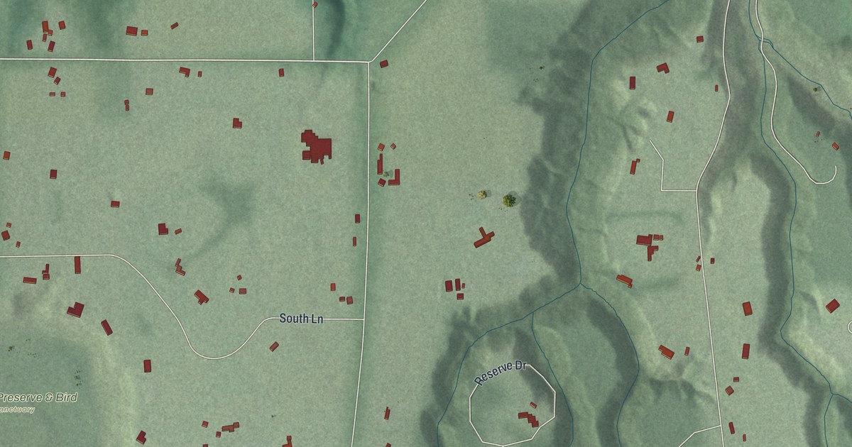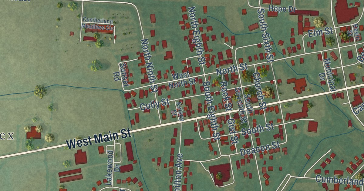
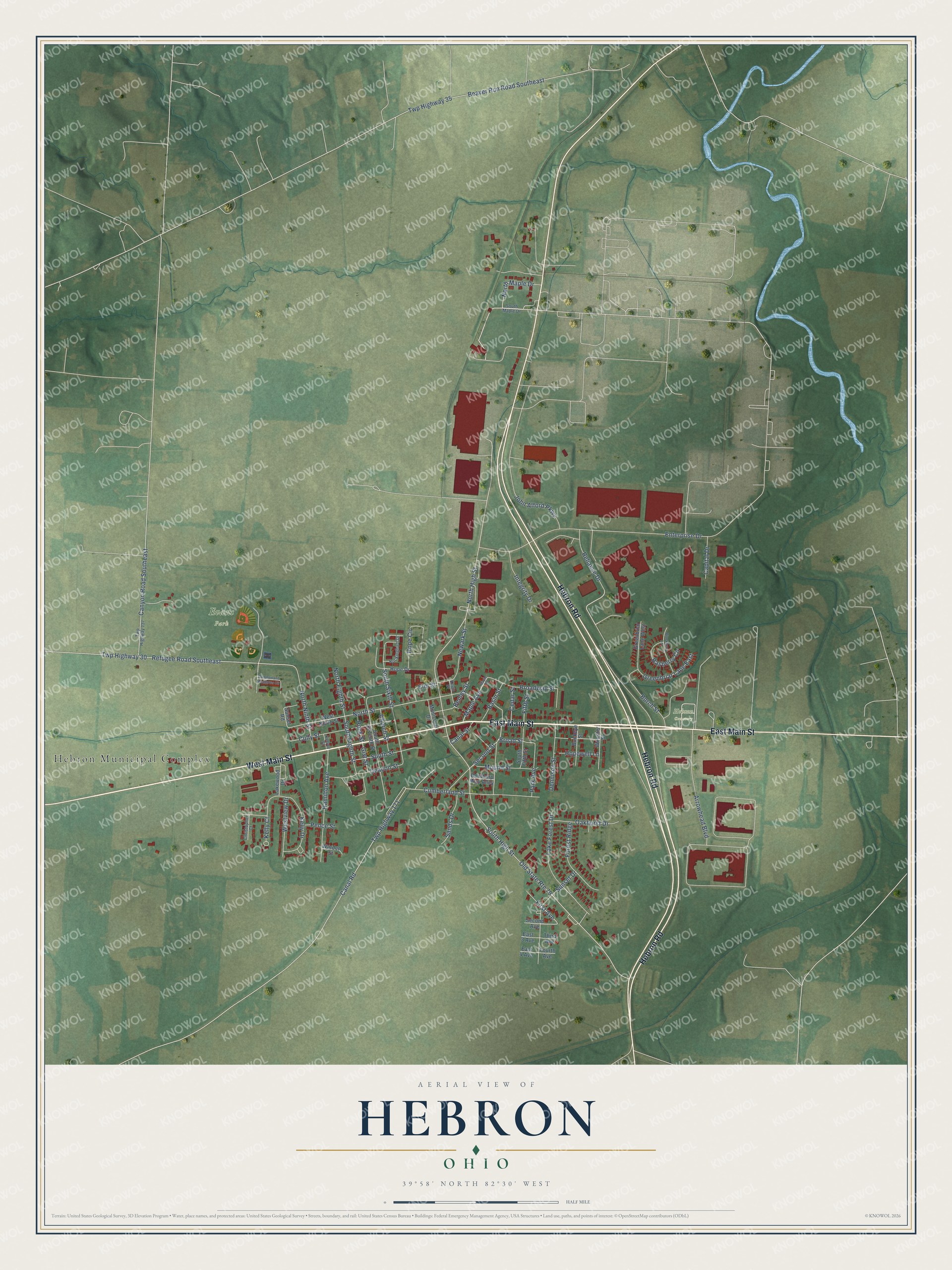
This beautifully detailed map of Hebron, Ohio was created in 2026 using aerial imagery combined with modern topographical, census, street and landmark data. It’s a one-of-a-kind view of Hebron that combines accurate data with a vintage aesthetic. The map shows every building in its true location, many of the roads carry their names, and the shaded topographic relief shows the shape of the land.
Explore an aerial view of Hebron, Ohio
On the map you’ll find Hebron Municipal Complex, Evans Park, and Hebron Cemetery, along with East Main Street, West Main Street, Hebron Road, West North Street, North Street, Broad Street, Second Street, South High Street, Enterprise Drive, and more. If you look closely you can even find your house accurately drawn in its correct location. Zoom in on the preview to look for yours.
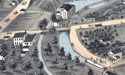
Did you know this piece of Hebron, Ohio history?
Hebron built the first canal boat in Licking County during 1827 and 1828. Named the Licking Summit, it made its first trip through the Deep Cut on July 4, 1828. The boat was too big for the locks and never left the summit level. Nobody thought it worth rebuilding. That’s from the 1881 History of Licking County, O. its Past and Present.
Take a closer look at the Hebron map
Street and place names on the Hebron, Ohio map
These names are printed on the map of Hebron, Ohio.
Places: Hebron Municipal Complex, Evans Park and Hebron Cemetery.
Streets and roads: East Main Street, West Main Street, Hebron Road, Broad Street, Second Street, North Street, Old State Route 79, South High Street, Enterprise Drive, North High Street, Canal Road, Twp Highway 171.
More street names, A to Z
Arrowhead Boulevard, Basin Street, Beaver Run Road Southeast, Benley Street, Blackberry Lane, Broadway Street, Buckeye Street, Burch Street, Canal Street, Canyon Road Southeast, Capital Drive, Cedar Street, Christopher Court, Church Street, Cully Street, Cumberland Meadows Circle, Cumberland Street, Deacon Street, Dennison Street, Donthorp Way Alley, East 3 Avenue, East 4 Avenue, Elm Street, Fifth Street, First Avenue, Forest Ridge, Fourth Avenue, Gist Street, Greenbriar Lane East, Greenbriar Lane West, Hamilton Avenue, Hope Circle, Hope Drive, Hopewell Lane, Integrity Drive, John Alford Parkway, Kelly Court, Kelly Drive, Kelsey Street, Kevin Street, Lake Forest Drive, Lakewood Drive, Maple Avenue, Maple Street, Mound Street, Municipal Drive, Newark Street, North Eighth Street, North Maple Drive, North Ninth Street, Oakhurst Drive, Park Avenue, Pence Street, Rasberry Circle, Refugee Road Southeast, Reliance Drive, Rockingham Drive, Rock Street, Sands Drive, Second Avenue, South Eighth Street, South Fifth Street, South Maple Drive, South Seventh Street, South Sixth Street, South Street, Sunset Drive, Sunset Road, Third Avenue, Twp Highway 30, Twp Highway 35, Twp Highway 137, Warden Street, West North Street, Westview Drive, Wooster Street.
See the Hebron, Ohio map on a wall
The Hebron map as an 18 x 24 inch print in a black frame.

This beautifully detailed map of Hebron makes an attractive addition to your office, library, or den, and it can even be used to teach children the geography and history of the area. It also makes a great gift for someone who left Hebron and still calls it home. When you’re done exploring, click here to get your copy of the Hebron map.