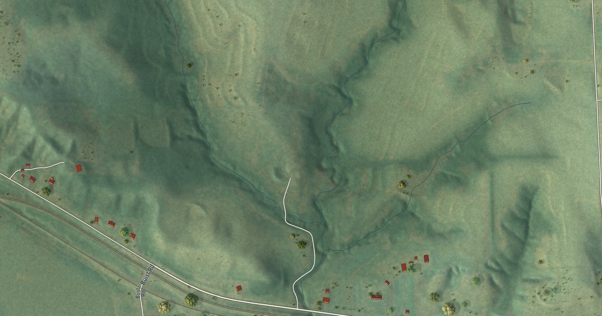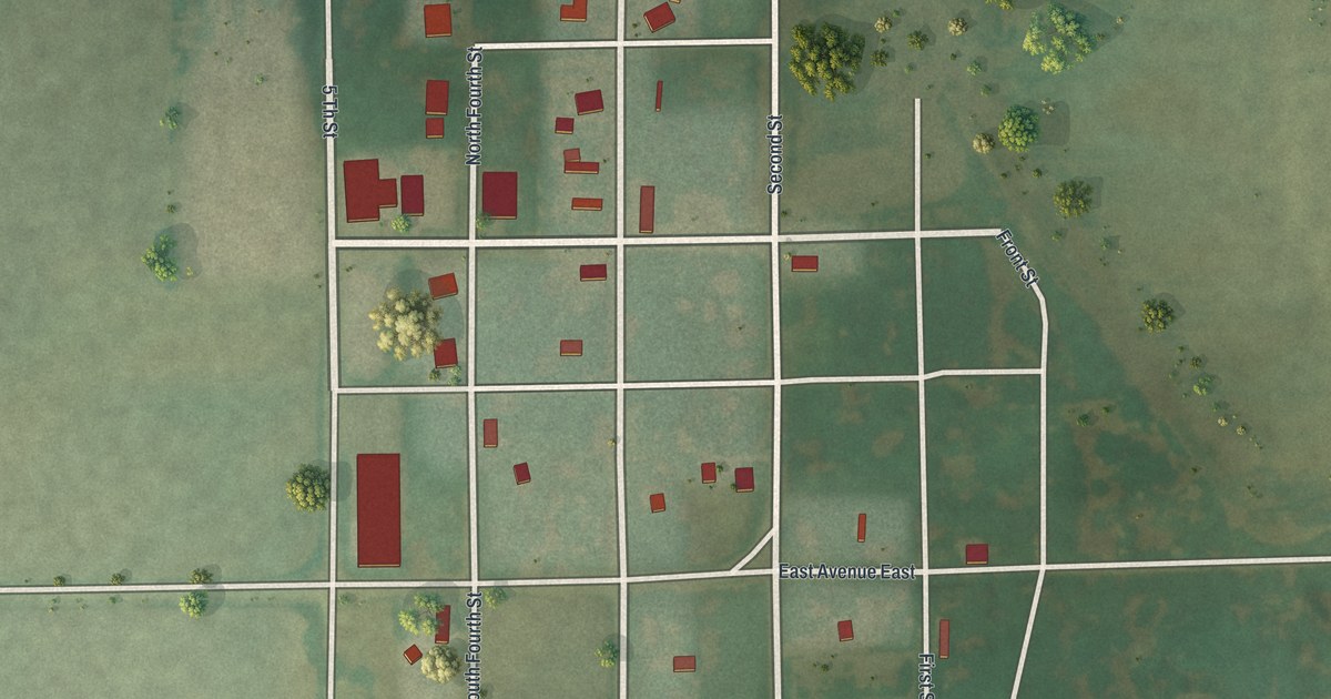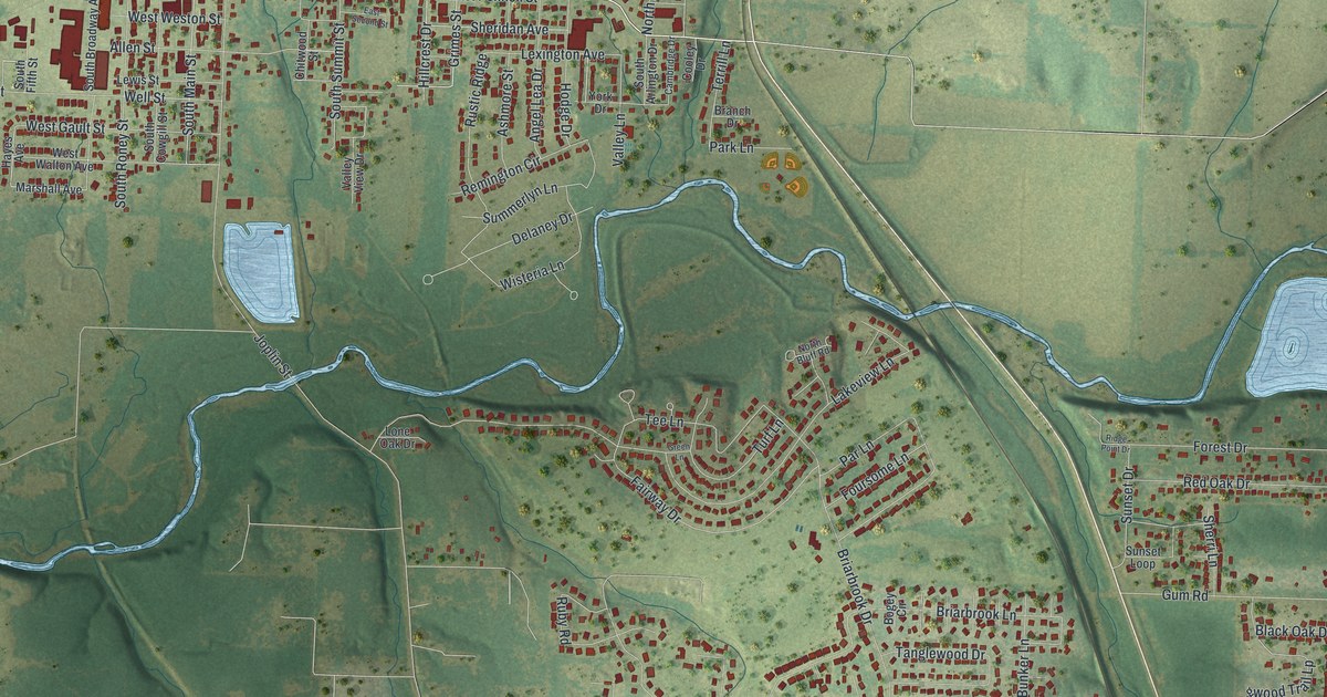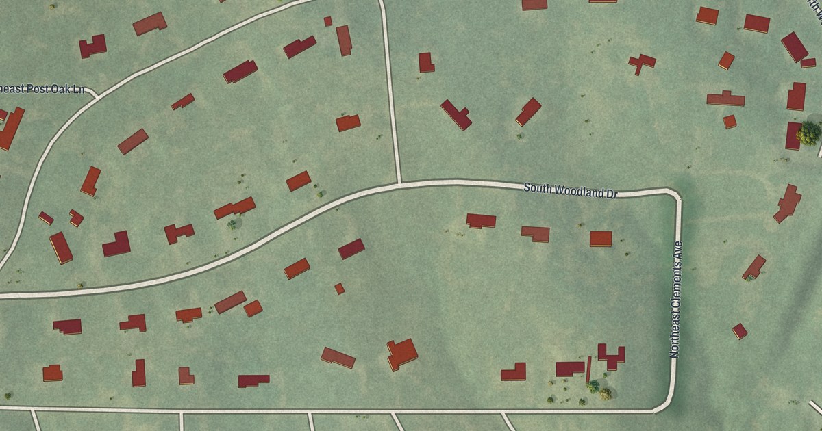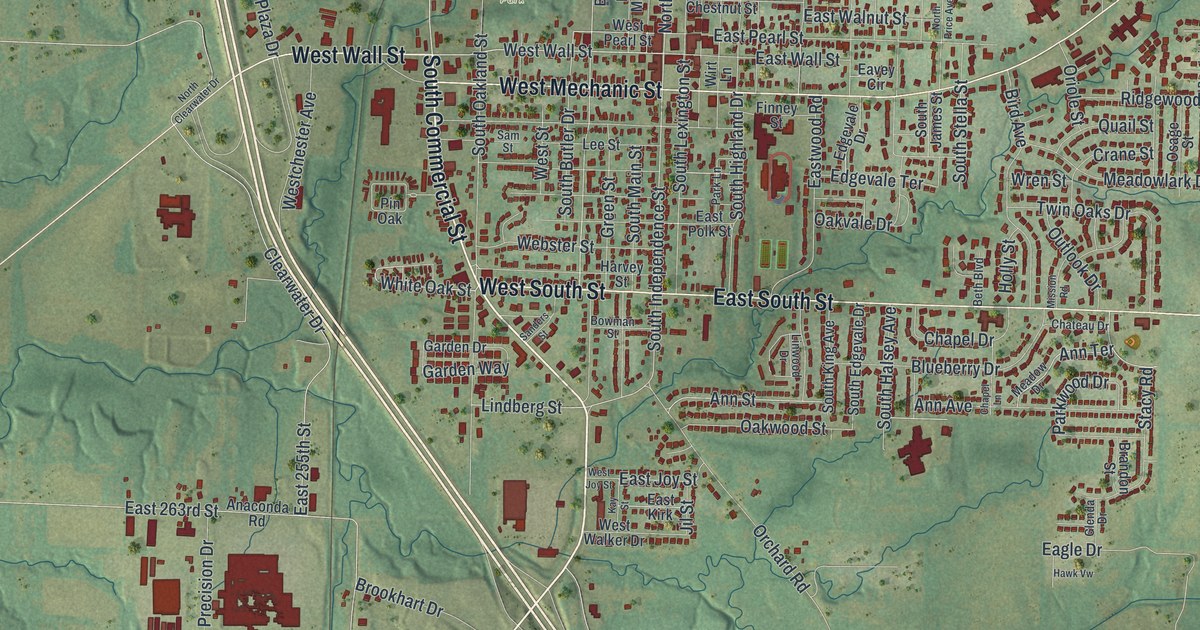
If you grew up in Harrisonville, here's a way to keep its streets close. This modern aerial view of Harrisonville in Cass County, Missouri has a vintage feel. Red buildings fill the town's blocks, with green land and blue waterways around them.
The Democrat Office in Harrisonville
On this map you'll find Harrisonville City Hall, South Commercial Street, North Commercial Street, West Mechanic Street, East Mechanic Street, West Wall Street, East Wall Street, South Main Street, North Independence Street, East Elm Street, North Park, and more. Each red shape is a building, so zoom in on the preview and look for yours.
The History of Cass County, Missouri records that in the fall of 1904 the Herald plant burned, and for several months the paper was printed in the Democrat office at Harrisonville. So the Democrat office in Harrisonville kept the paper coming out. City Hall sits at the center of this view.
Harrisonville City Hall and Your Own Block
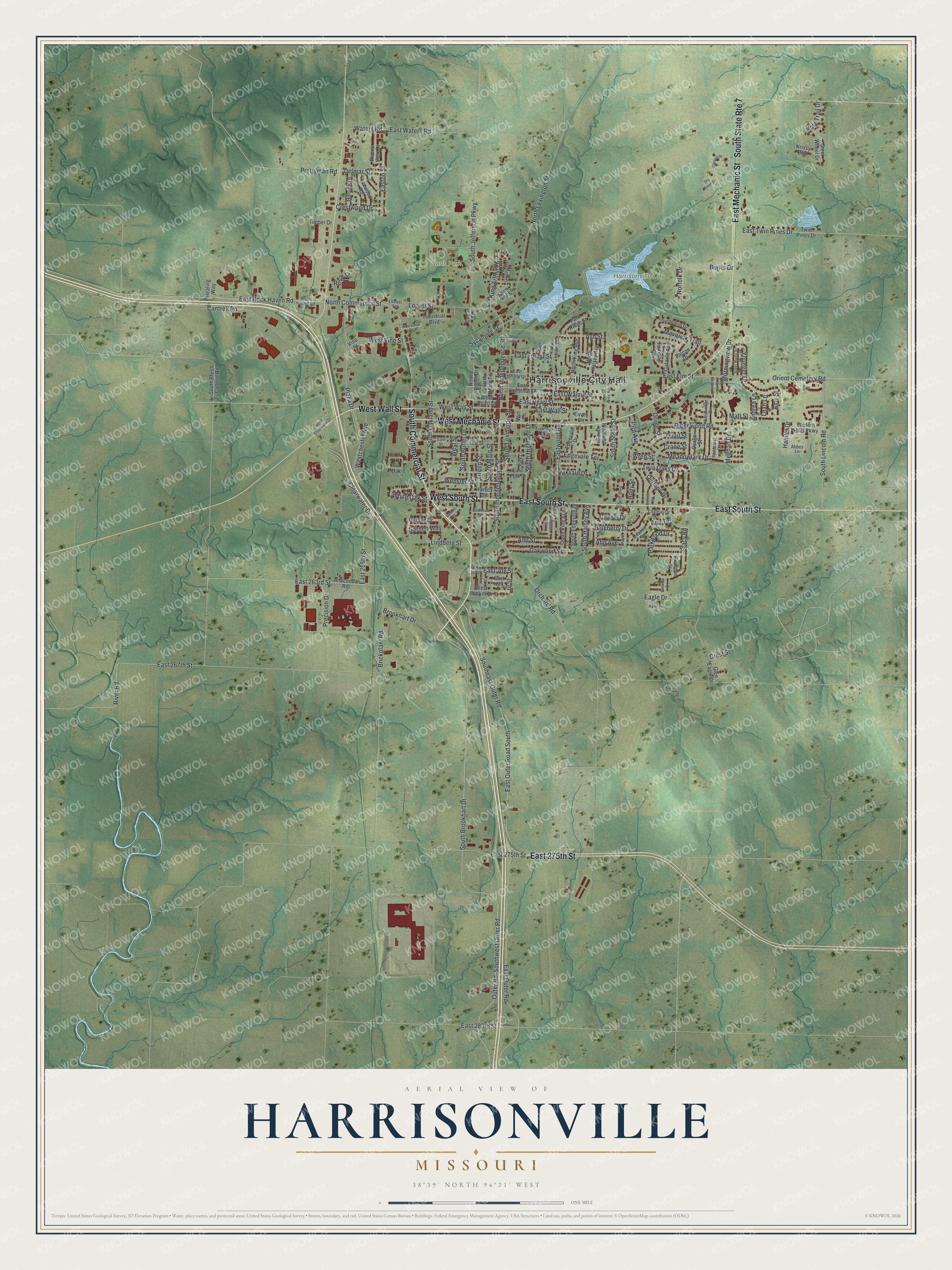
Created by KNOWOL in 2026, the print pairs soft green terrain with red buildings and pale blue water. A cream border surrounds the view. The title panel reads AERIAL VIEW OF HARRISONVILLE, MISSOURI, with 38°39' NORTH 94°21' WEST below.
Hang it in a living room, office or entryway to keep home close. It's a thoughtful gift for someone who grew up near North Park or moved away from Harrisonville. Open the preview and look for the block you know best. See sizes and frames for the Harrisonville map.