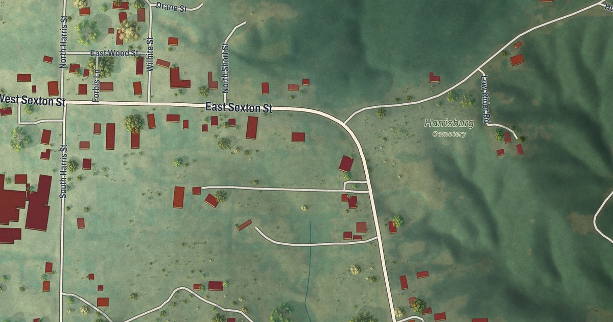
If you grew up in Harrisburg or still have family on West Sexton Street, this map is for you. It's a modern aerial view of Harrisburg in Boone County, Missouri, made from current data and given a vintage look. You'll see the town's streets, about 230 red buildings, two ball diamonds and Harrisburg Cemetery. Green wooded hills rise along the east side of the sheet.
The old school and lodge on South Harris Street
On this map you'll find West Sexton Street, East Sexton Street, South Harris Street, North Harris Street, Depot Street, Railroad Street, Drane Street, Wood Street, Wilhite Street, North Short Street, Craigview Drive, West Eaton Road, Hughes Road, Harrisburg Cemetery, and more. Each red shape is a building, so zoom in on the preview and look for yours.
A place-name file at the State Historical Society of Missouri says Harrisburg was founded in July 1871. A building at 140 South Harris Street is listed on the National Register of Historic Places as the Harrisburg School and Ancient Landmark Masonic Lodge Number 356. It was added to the list in December 2013. The 1882 History of Boone County says members of the Sturgeon lodge helped start a lodge in Harrisburg. To find the building's street on the map, look for South Harris Street where it meets West Sexton Street.
The Harrisburg railroad that was never finished
The same 1882 book tells about a railroad that was planned through town. The company laid out a line from Mexico through Hallsville and Harrisburg to Fayette, in Howard County. It graded the ground and built bridges for the track. But the road was never finished, and the book said it perhaps never would be. Townships had sold bonds to help pay for it. The book says taxpayers didn't want to pay those bonds, since they never got a railroad.
Keep Harrisburg and West Sexton Street close
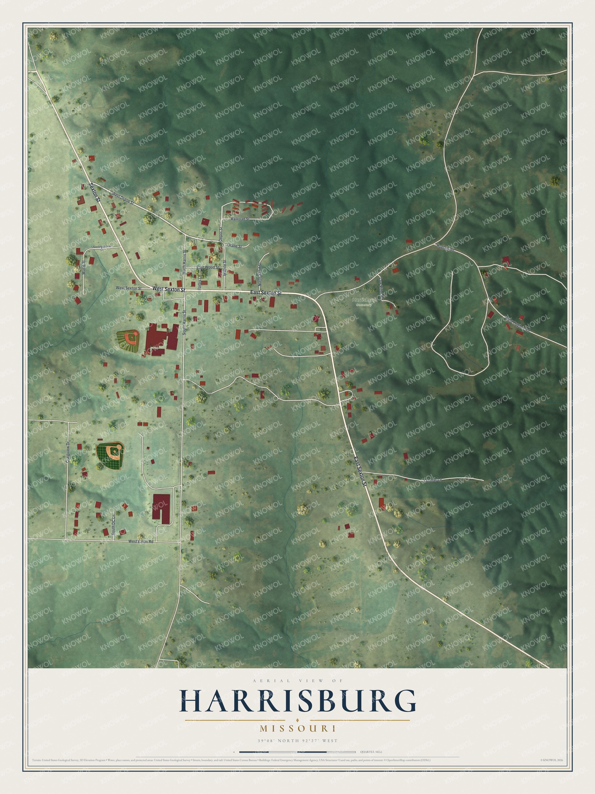
Created by KNOWOL in 2026, this print shows Harrisburg from above in soft greens, with red buildings, white roads and shaded hills. The title panel reads "Aerial View of Harrisburg, Missouri" with the coordinates 39°08' North 92°27' West.
It fits a living room, a front hall or a home office. It's a good gift for someone who grew up near the old school on South Harris Street, or for family who moved away from Boone County. Open the preview and find your street. See sizes and frames for the Harrisburg map.