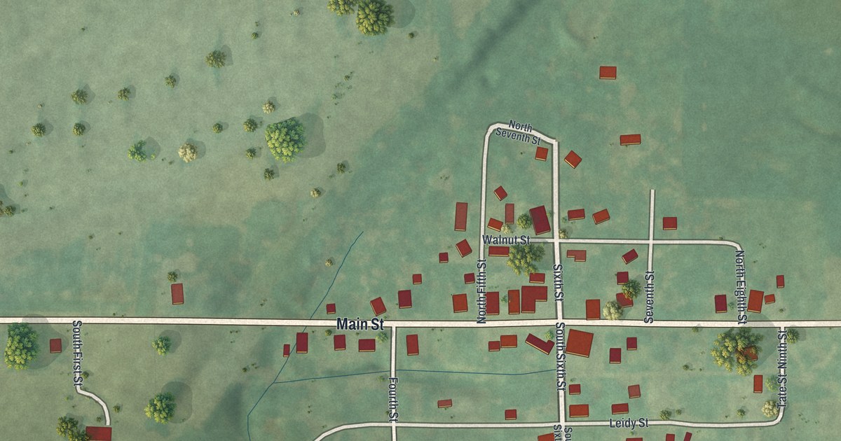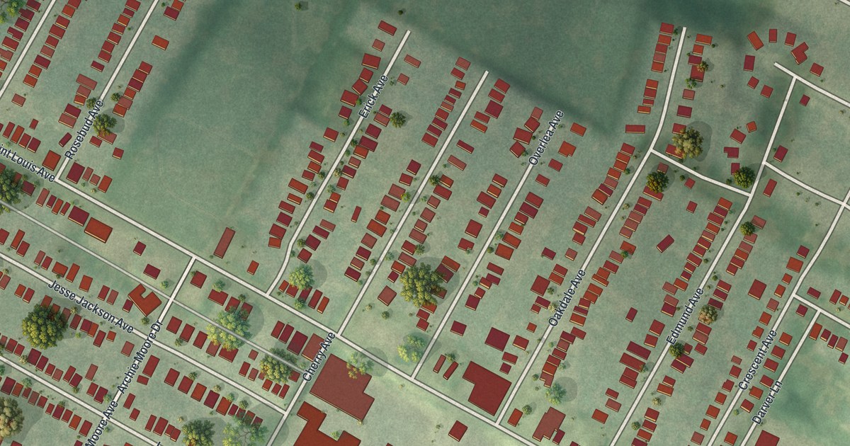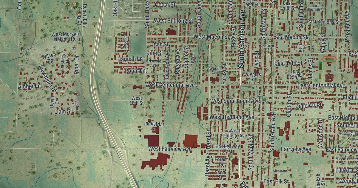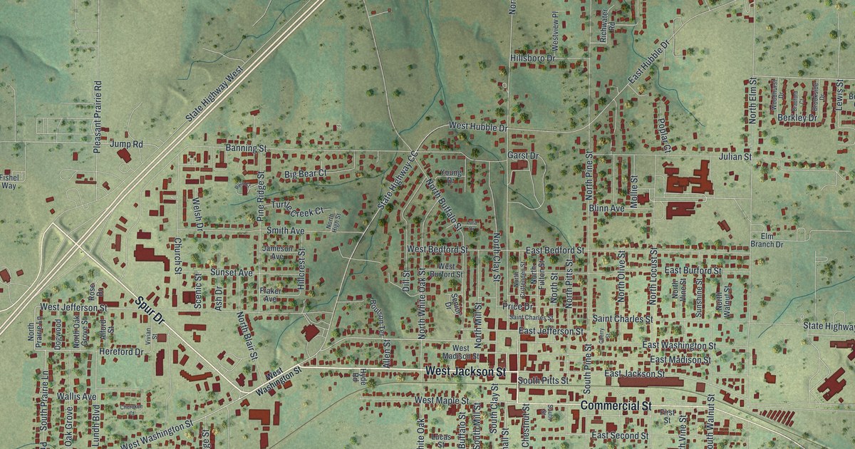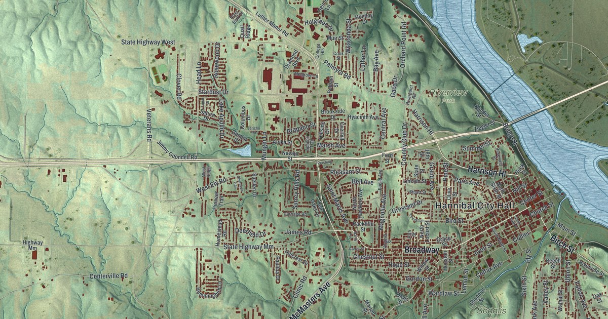
If you grew up in Hannibal, or you've walked Main Street and up Hill Street, this map will feel like home. It's a modern aerial view of Hannibal in Marion County, Missouri, made from modern data and finished with a vintage look. The town fills the middle of the sheet, packed with small red buildings. Broadway runs through the heart of downtown, near Hannibal City Hall. A wide blue river sweeps down the right side, and green, shaded hills fold out on every other side.
Find your street in Hannibal
On this map you'll find Broadway, Main Street, Hill Street, Bird Street, Market Street, McMasters Avenue, Lemon Street, Grand Avenue, Palmyra Road, Hannibal City Hall, Riverview Park, Oakwood, Cave City, and more. Each red shape is a building, so zoom in on the preview and look for yours.
The Mark Twain Boyhood Home on Hill Street
Ask anyone about Hannibal and they'll bring up Mark Twain. This is the town where he spent his boyhood. The National Register lists the Mark Twain Boyhood Home at 206 to 208 Hill Street. It joined the list in 1966. In 1978 the blocks around it became the Mark Twain Historic District. That district takes in parts of Bird, Main and Hill Streets. On the map, those streets sit in the tight grid of red buildings closest to the river.
Moses Bates and the first days of Hannibal
The town's story started long before that. The State Historical Society of Missouri says the first settler was Moses Bates. He came in 1819, when the land was dense forest and a favorite hunting ground. Today the same ground holds more than nine thousand buildings on this map. The old downtown still keeps many of its early buildings. The Digel Block, the Davidson Building and the Mark Twain Hotel all stand on South Main Street and are on the National Register too.
From Broadway to Cave City
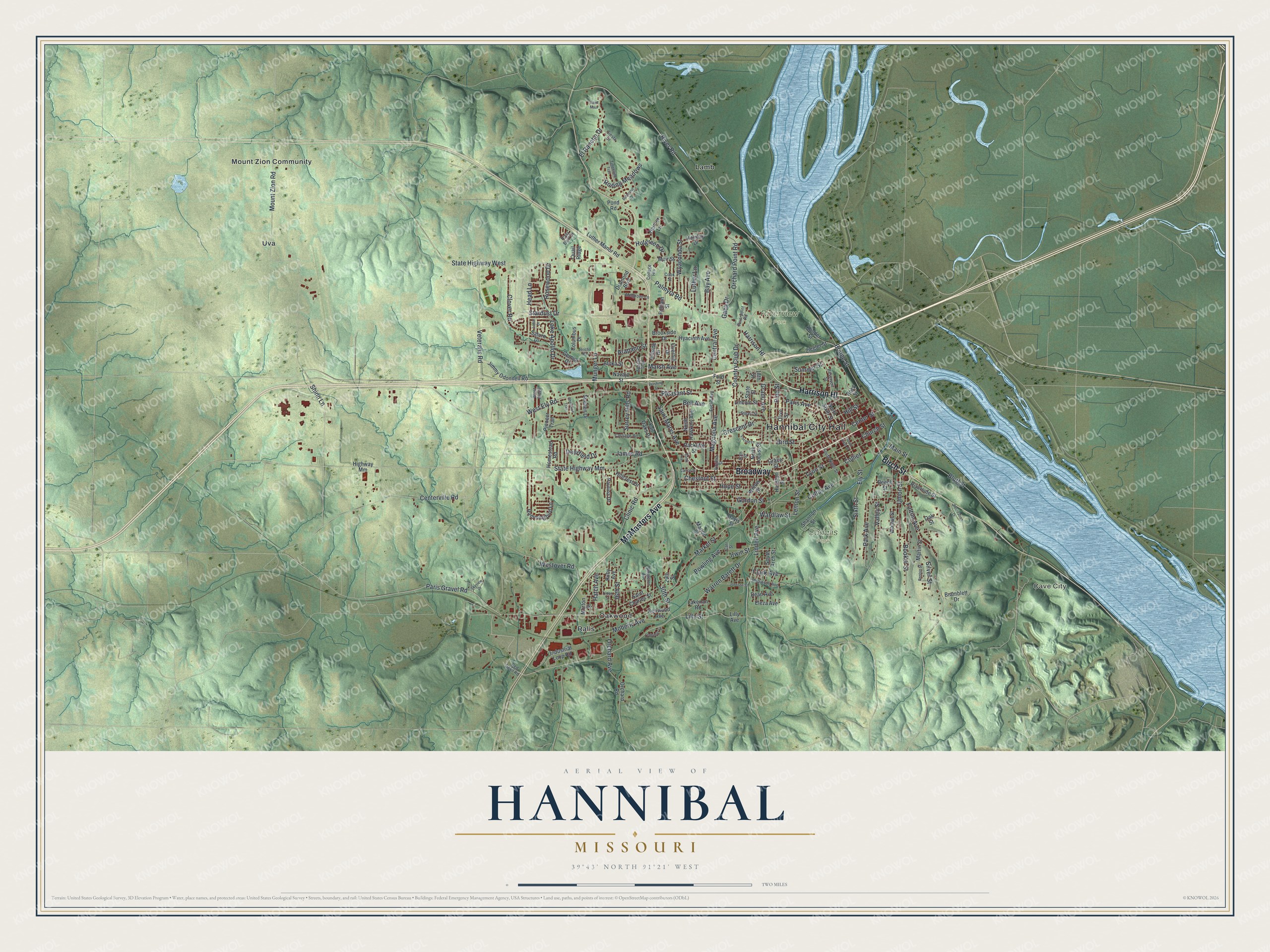
Created by KNOWOL in 2026, this print shows Hannibal's hills in soft green shading, with the town's buildings in deep red and the river in pale blue. The title panel reads "Aerial View of Hannibal, Missouri" with the coordinates 39°43' North 91°21' West.
It suits a living room, a front hall or an office wall. It's a gift for anyone who grew up near Hill Street and the Mark Twain Boyhood Home, and for family who moved away but still call Hannibal home. Open the preview and find the block you know best. See sizes and frames for the Hannibal map.