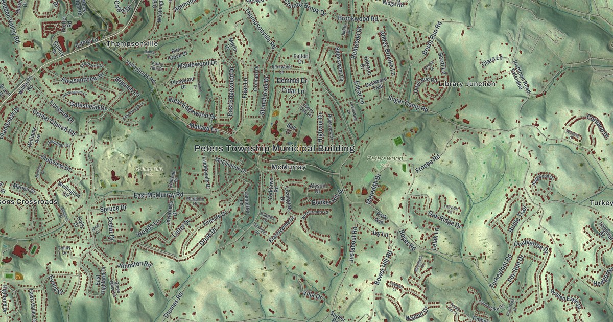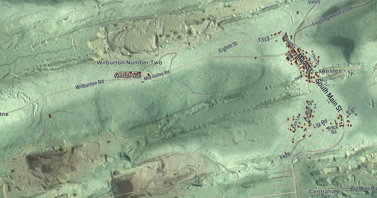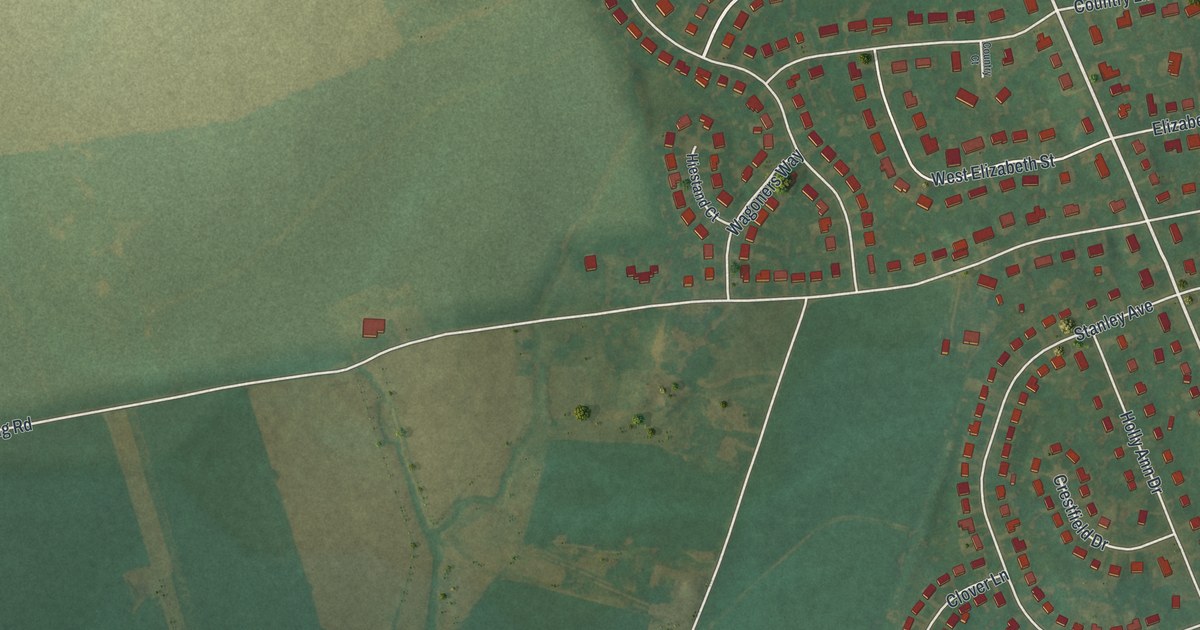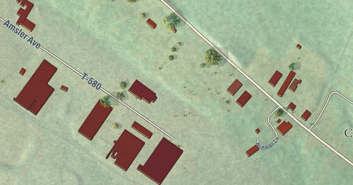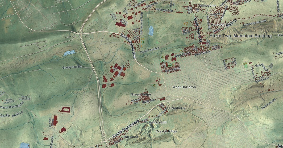
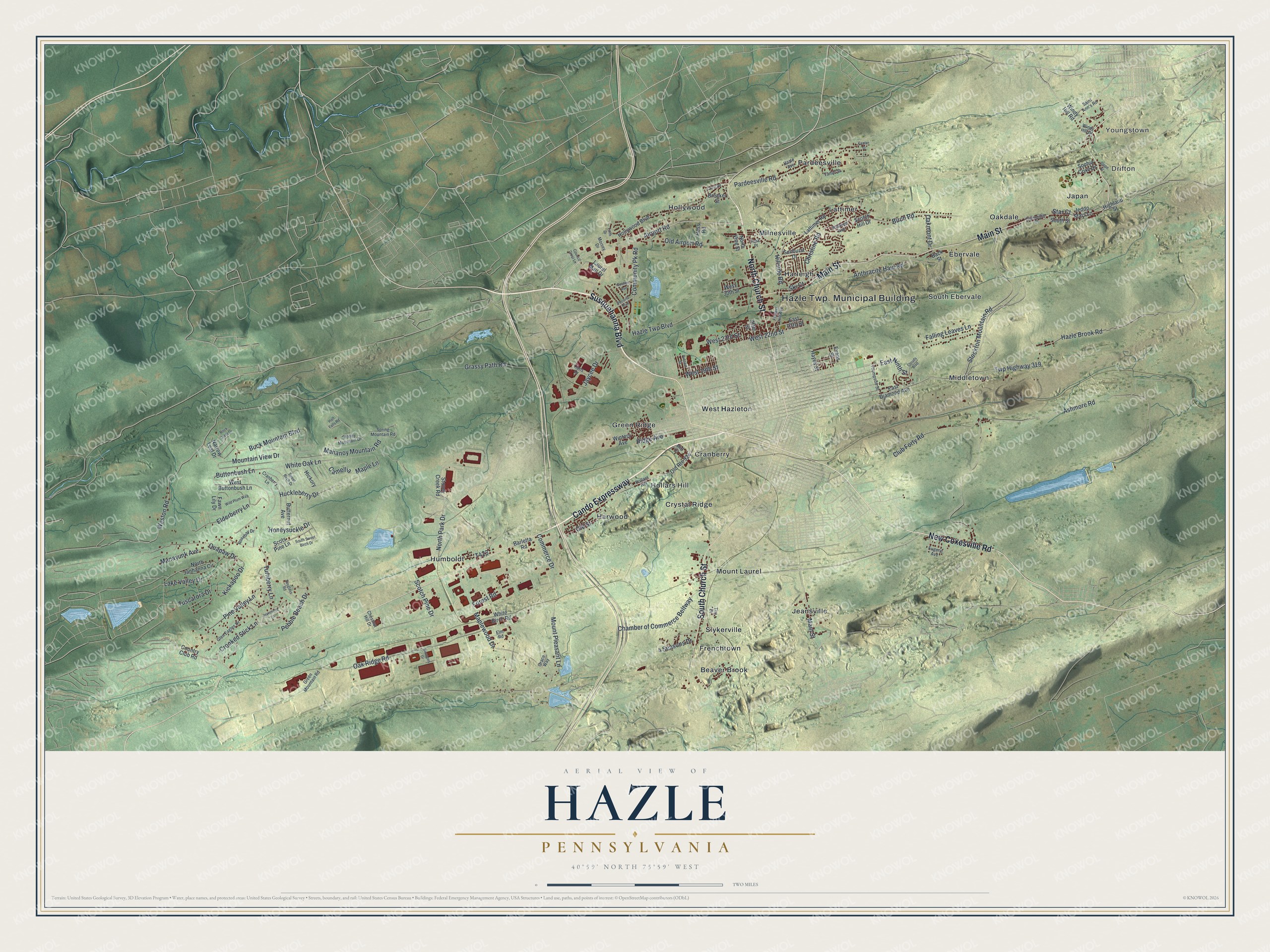
This beautifully detailed map of Hazle, Pennsylvania was created in 2026 using aerial imagery combined with modern topographical, census, street and landmark data. It’s a one-of-a-kind view of Hazle that combines accurate data with a vintage aesthetic. The map shows every building in its true location, many of the roads carry their names, and the shaded topographic relief shows the shape of the land.
Explore an aerial view of Hazle, Pennsylvania
On the map you’ll find Youngstown, Drifton, Beaver Brook, Cranberry, Crystal Ridge, Ebervale, Frenchtown, Green Ridge, Harleigh, Harwood, Hollars Hill, Hollywood, and more. If you look closely you can even find your house accurately drawn in its correct location. Zoom in on the preview to look for yours.
Did you know this piece of Hazle, Pennsylvania history?
From the 1880 History of Luzerne, Lackawanna, and Wyoming Counties, Pennsylvania: "Harleigh is another of the small mining towns for which Hazle township is noted. There are two taverns, a company and one or two other small stores, a Protestant school and a school under the supervision of the Sisters of Mercy."
Take a closer look at the Hazle map
Street and place names on the Hazle, Pennsylvania map
These names are printed on the map of Hazle, Pennsylvania.
Places: Hazle Twp. Municipal Building, Youngstown, Drifton, Beaver Brook, Cranberry, Crystal Ridge, Ebervale, Frenchtown, Green Ridge, Harleigh, Harwood, Hollars Hill, Hollywood, Humboldt, Japan, Jeansville, Lattimer, Middletown, Milnesville, Mount Laurel, Oakdale, Pardeesville, Slykerville, South Ebervale and West Hazleton.
Streets and roads: New Coxesville Road, Cando Expressway, Main Street, North Church Street, Susquehanna Boulevard, South Church Street, Airport Road, Twp Highway 319, Hazle Brook Road, Hillside Road, Hazle Twp Boulevard, Old Airport Road.
More street names, A to Z
4 Seasons Drive, Alter Street, Anthracite Haul Road, Ashmore Road, Back Street, Barletta Road, Birch Road, Breaker Street, Buck Mountain Boulevard, Butternut Avenue, Buttonbush Lane, Camellia, Caterpillar Court, Center Street, Chamber of Commerce Beltway, Chestnut Hill Drive, Christine Road, Clouds Boulevard, Club Forty Road, Commerce Drive, Community Pk Road, Council Crest Lane, Country Club Road, Cranberry Lane, Crest Road, Crooked Stick Lane, East 23rd Street, East Diamond Avenue, East Ninth Street, Elderberry Lane, Elm Road, Eugene Avenue, Evans Street, Faith Drive, Falling Leaves Lane, Fawn Lily Drive, Fishers Hill Avenue, Forest Road, Glen Eagles Drive, Goshen Avenue, Grace Way, Grassy Path Road, Green Mountain Road, Half Falls Road, Hayes Street, Hazle Avenue, Hess Road, Hickory, Highland Street, Hollywood Boulevard, Honeysuckle Drive, Huckleberry Drive, Inverness Lane, Jaycee Drive, Jeddo Stars Lane, Kickapoo Drive, Lake Valley Drive, Lattimer Road, Laurel Mall Drive, Lions Drive, Mahanoy Mountain Road, Manayunk Avenue, Maple Lane, Maplewood Drive, Mid Court, Moisey Drive, Mountain View Drive, Mount Pleasant Lane, Narrow Leaf Drive, North Janhanna Circle, North Park Drive, North Vine Street, Oakmont Drive, Oak Ridge Road, Old Route 924, Old Street, Palance Avenue, Pardeesville Road, Park Place, Pebble Beach Drive, Pecoria Boulevard, Pine Valley Lane, Putnam Street, Quapaw Drive, Ridge Avenue, Rock Crest Drive, Rosebay Drive, Saint Ann's Road, Scotch Hill Drive, Scotch Pine Drive, Scots Pine Lane, Simmons Drive, Ski Court, Slope Street, Sophia Coxe Drive, South Street, South Sweet Birch Drive, Spring Mountain Road, Spyglass Road, Star Court, Stockton Mountain Road, Stoney Creek Road, Stoney Mountain Drive, Sunburst Drive, Sweet Birch Drive, Thompson Street, Tim Drive, Turnberry Lane, Tuscarora Drive, West 19th Street, West 22nd Street, West 23rd Street, West 30th Street, West Buttonbush Lane, Weston Road, White Birch Road, White Oak Lane, Wild Plum Way, Windy Hill Drive, Windy Hill Road, Winters Avenue, Yanac Street.
See the Hazle, Pennsylvania map on a wall
The Hazle map as an 18 x 24 inch print in a black frame.

This beautifully detailed map of Hazle makes an attractive addition to your office, library, or den, and it can even be used to teach children the geography and history of the area. It also makes a great gift for someone who left Hazle and still calls it home. When you’re done exploring, click here to get your copy of the Hazle map.