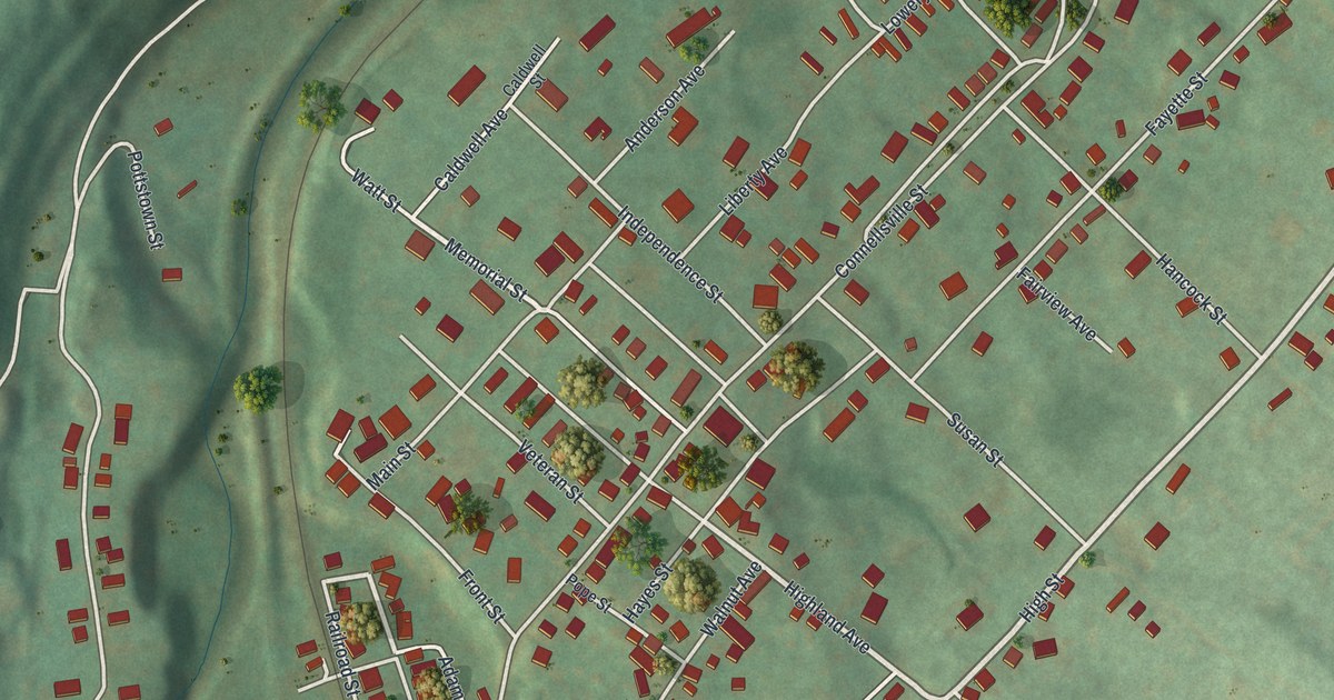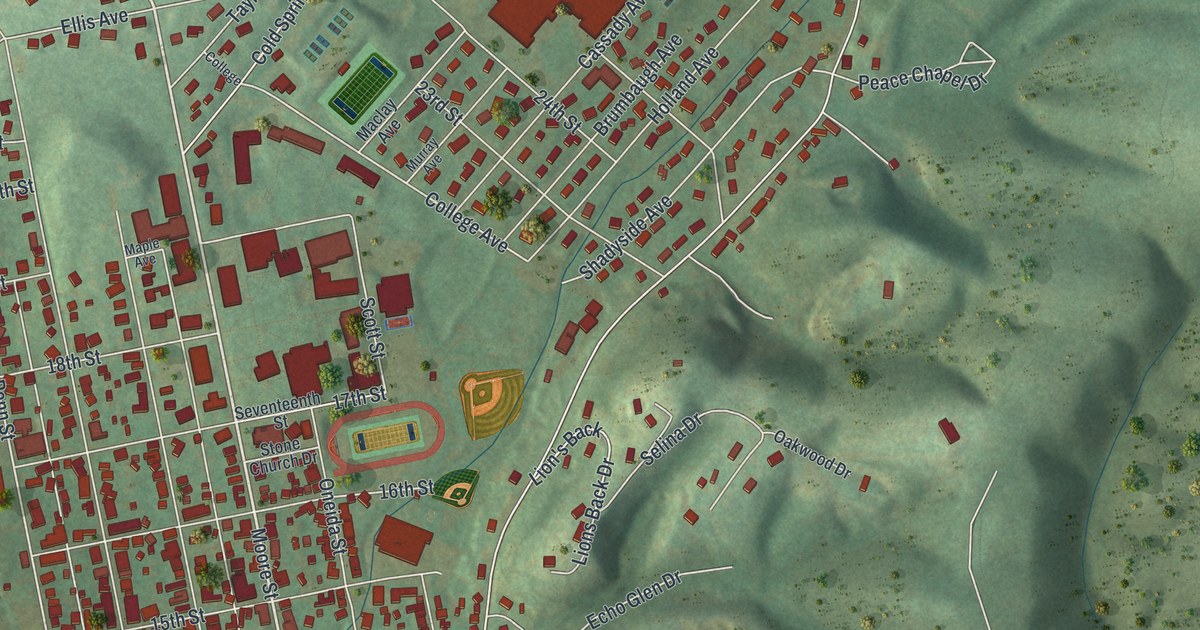
If you grew up in Huntingdon, look for your old block on this print. It's a modern aerial view of Huntingdon in Huntingdon County, Pennsylvania, built from modern data with a vintage feel. Red buildings fill the street grid beside a broad blue river. Green hills rise around the town's homes and roads.
Standing Stone Avenue and Huntingdon's early story
On this map you'll find Penn Street, Allegheny Street, Standing Stone Avenue, Washington Street, Church Street, Moore Street, Mifflin Street, College Avenue, Sixth Street, Warm Springs Avenue, Huntingdon Borough Building, Taylor Highlands, and more. Each red shape is a building, so zoom in on the preview and look for yours.
The name Standing Stone goes back a long way in Huntingdon. The 1876 county history records a sale dated June 1, 1760. Hugh Crawford sold George Croghan a 400-acre tract known as the Standing Stone. The deed described land from the mouth of Standing Stone Creek to a crossing upstream. It also included a small island's upper point. You'll find that name on the print today, on Standing Stone Avenue, more than 260 years after that deed. The old deed traced the land by its creek and island. Today's map gives you streets and blocks to look for by name.
Keep Huntingdon and Taylor Highlands close
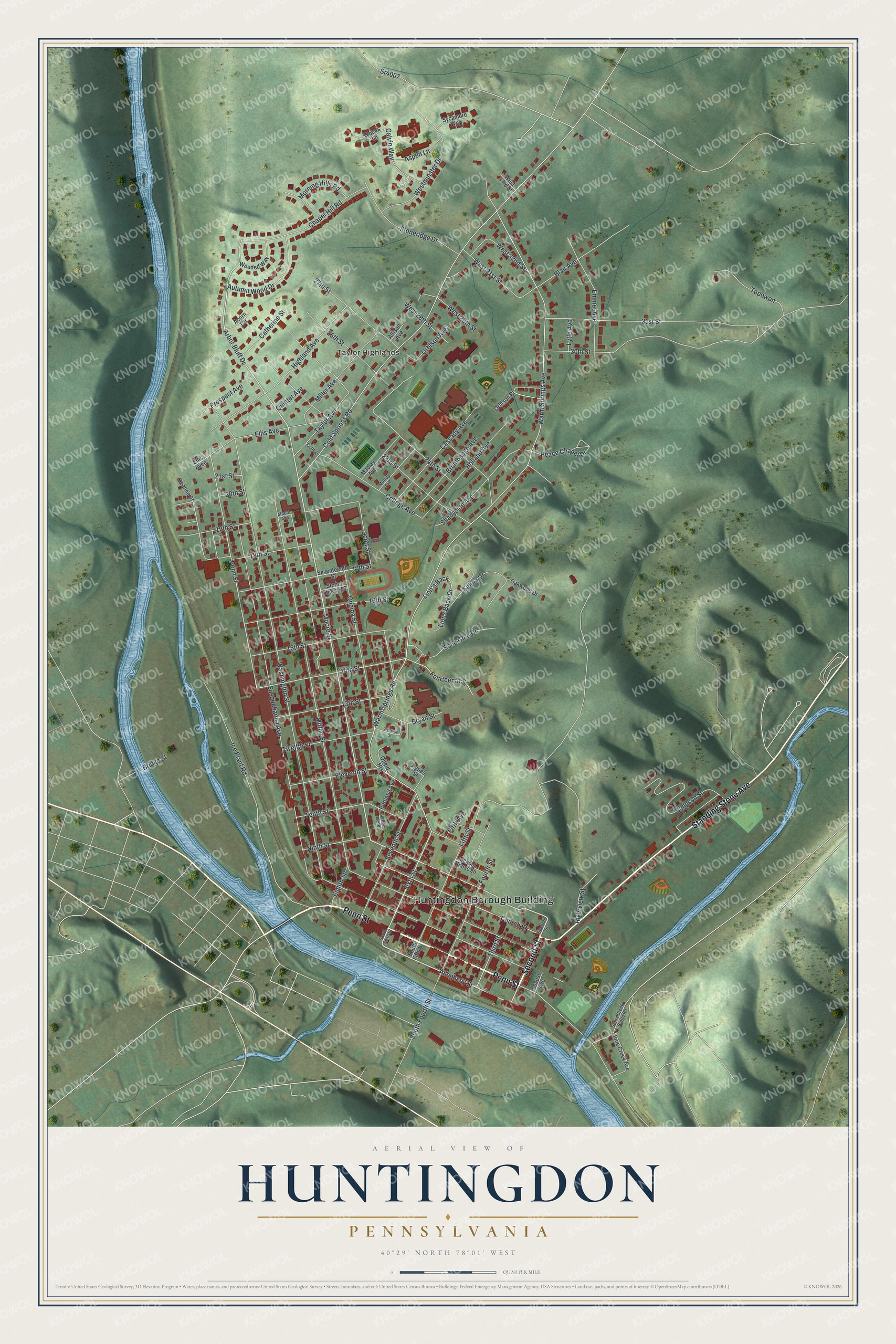
Created by KNOWOL in 2026, this print pairs green shaded hills with blue water, red buildings, and fine pale roads. A cream border surrounds the view. The title panel reads AERIAL VIEW OF, HUNTINGDON, PENNSYLVANIA, with 40°29' NORTH 78°01' WEST below.
Hang it in a living room, office, or entryway. It's a gift for someone who grew up in Taylor Highlands or has family in Huntingdon. Open the preview and look for the block you'd want to keep close. See sizes and frames for the Huntingdon map.