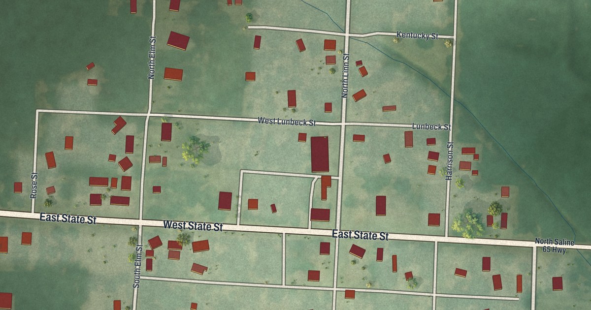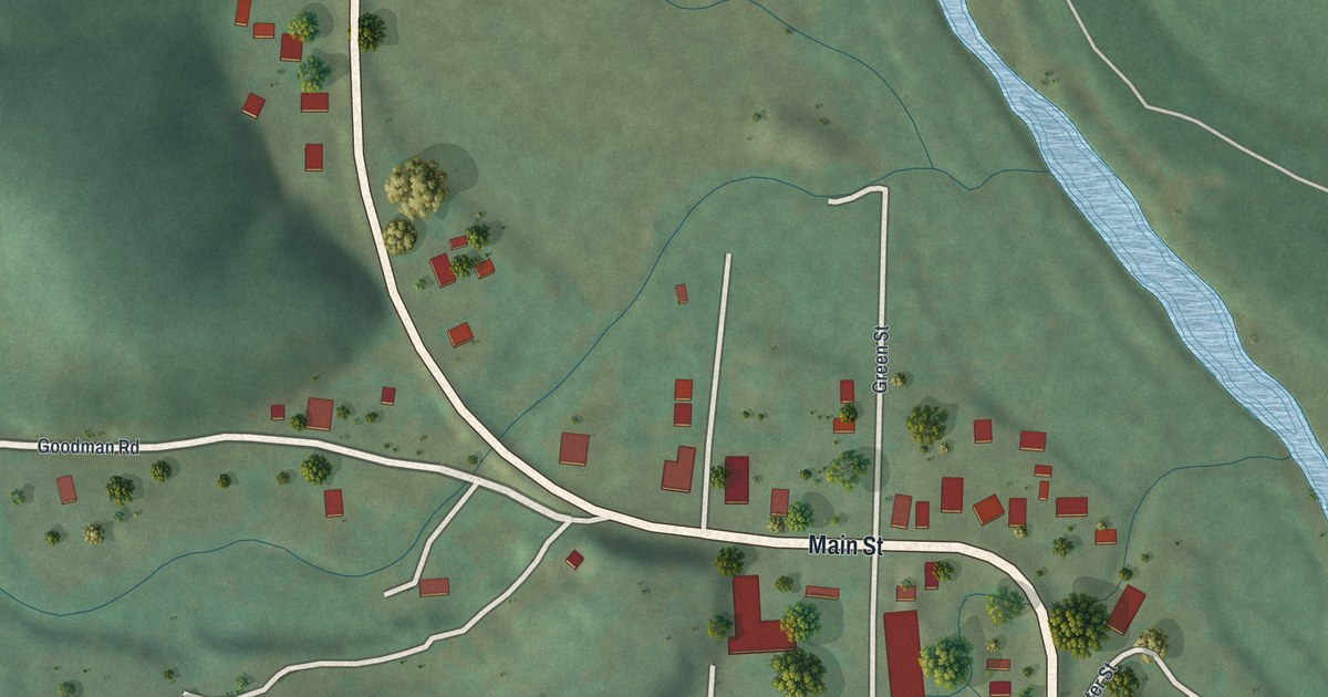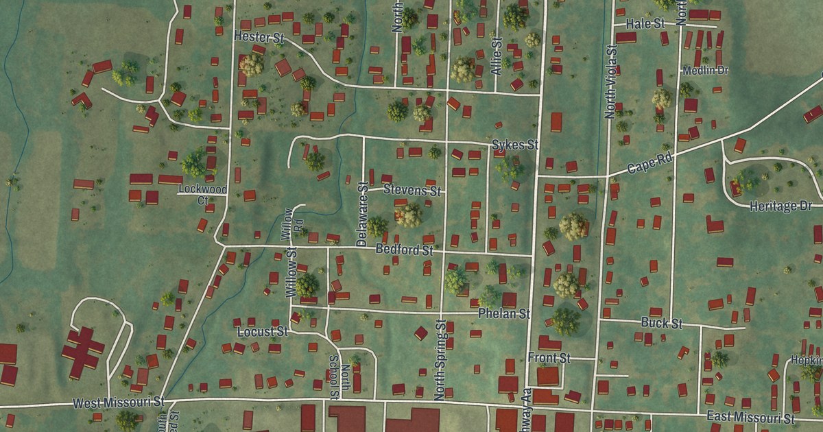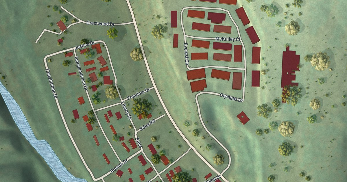
If you grew up on Main Street, drove Old Highway 21 to work, or still have family on Elm Street, this one's for you. It's a modern aerial view of Hillsboro in Jefferson County, Missouri, built by KNOWOL from elevation, water, street and building data and finished with a vintage feel. Green hills roll across the whole sheet in soft shade. The town sits in a valley in the middle, with its buildings in red. A highway curves past on the west side, and blue lakes sit near the edges.
Main Street, Elm Street and the Hills Around Hillsboro
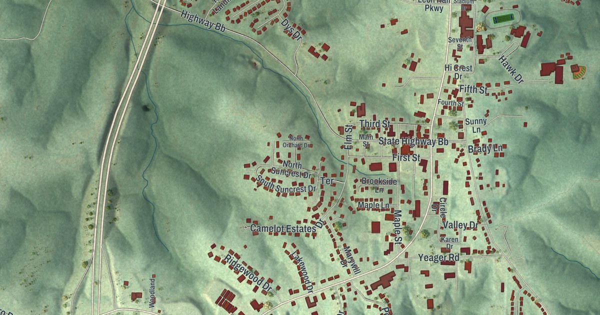
On this map you'll find Main Street, Elm Street, First Street, Third Street, Fifth Street, Old Highway 21, Jefferson College Drive, Stadium Drive, Leon Hall Parkway, Hillsboro House Springs Road, Lake Wauwanoka Road, Brickyard Road, Heritage Hill, Maple Street, and more. Each red shape is a building, so zoom in on the preview and look for yours.
Why Hillsboro Was Once Called Menticello
Hillsboro didn't start out with that name. The State Historical Society of Missouri keeps an old file of place names. It says the first name was Menticello, after Thomas Jefferson's home. But there was already another Menticello in Missouri. So the name was soon changed to Hillsboro, for the hill just south of town.
The map shows the hilly ground around town in shaded relief, with Yeager Road, Dylan Drive, Hillsboro Park Road and Brickyard Road among the printed roads.
The Thomas C. Fletcher House on Elm Street
One old house in town is on the National Register. The Thomas C. Fletcher House was listed in 1974. Its address is given as Elm Street between First and Second Streets. Find Elm Street and First Street in the middle of town, and you're right in that block.
A Hillsboro Map for Home or Far Away
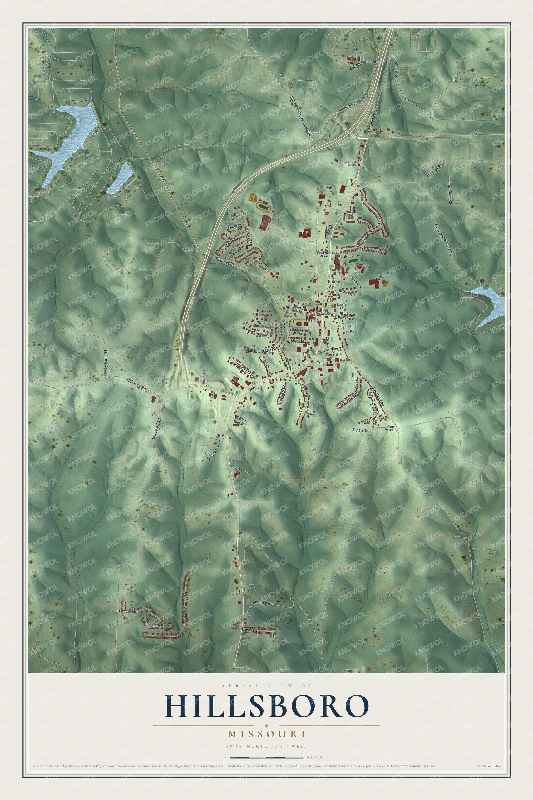
Created by KNOWOL in 2026, this print shows Hillsboro from above, with green shaded hills, blue lakes and small red buildings. Street names are printed in fine dark type. A cream panel at the bottom names Hillsboro, Missouri, with 38°14' North 90°34' West below it.
It fits a living room, a front hall or a home office. It makes a good gift for someone who grew up near Main Street and Elm Street, or who moved away and wants those hills on the wall. Open the preview and find your street. See sizes and frames for the Hillsboro map.