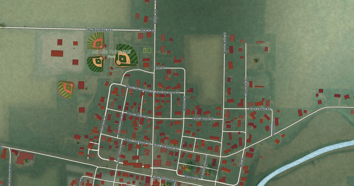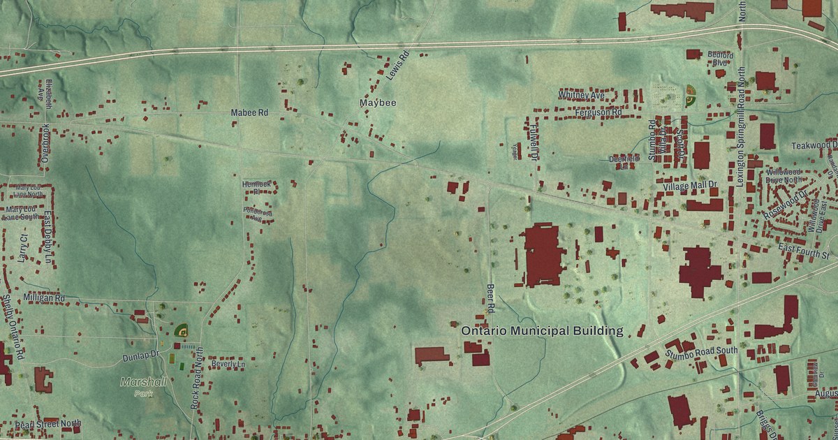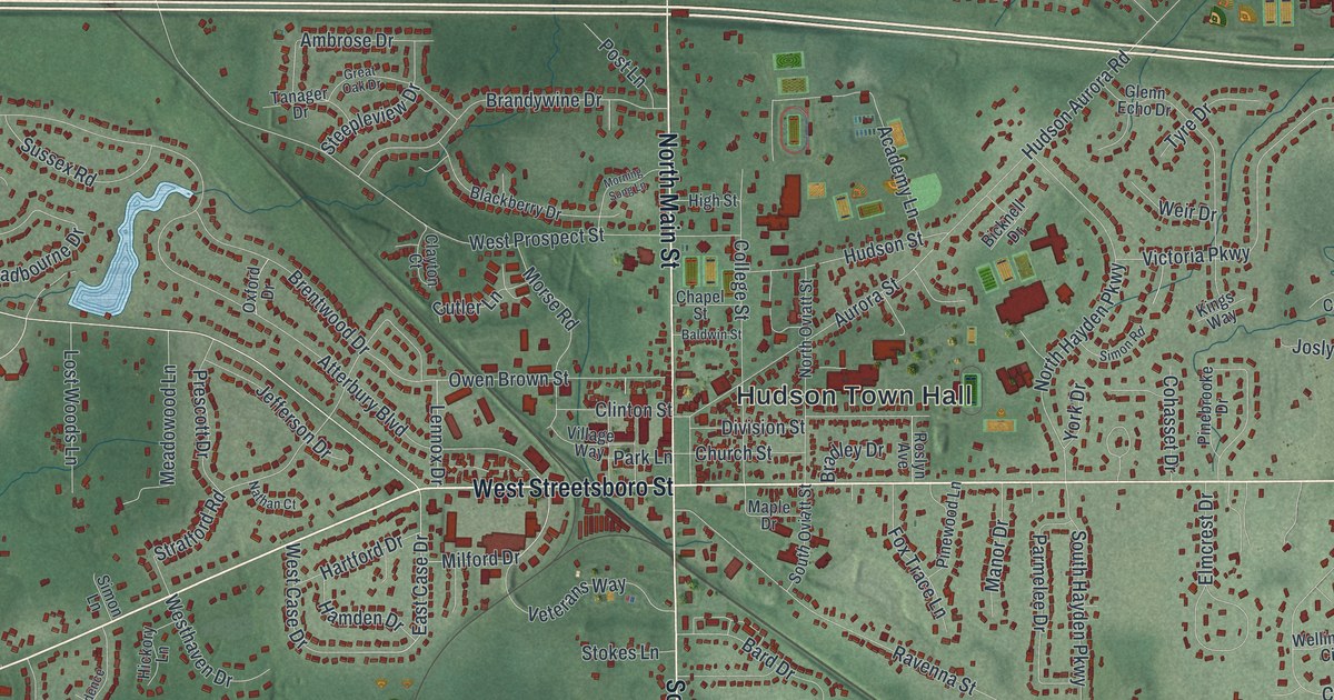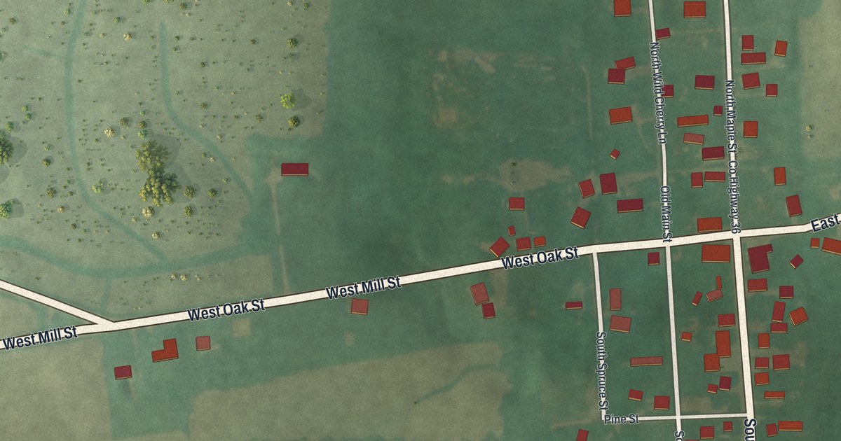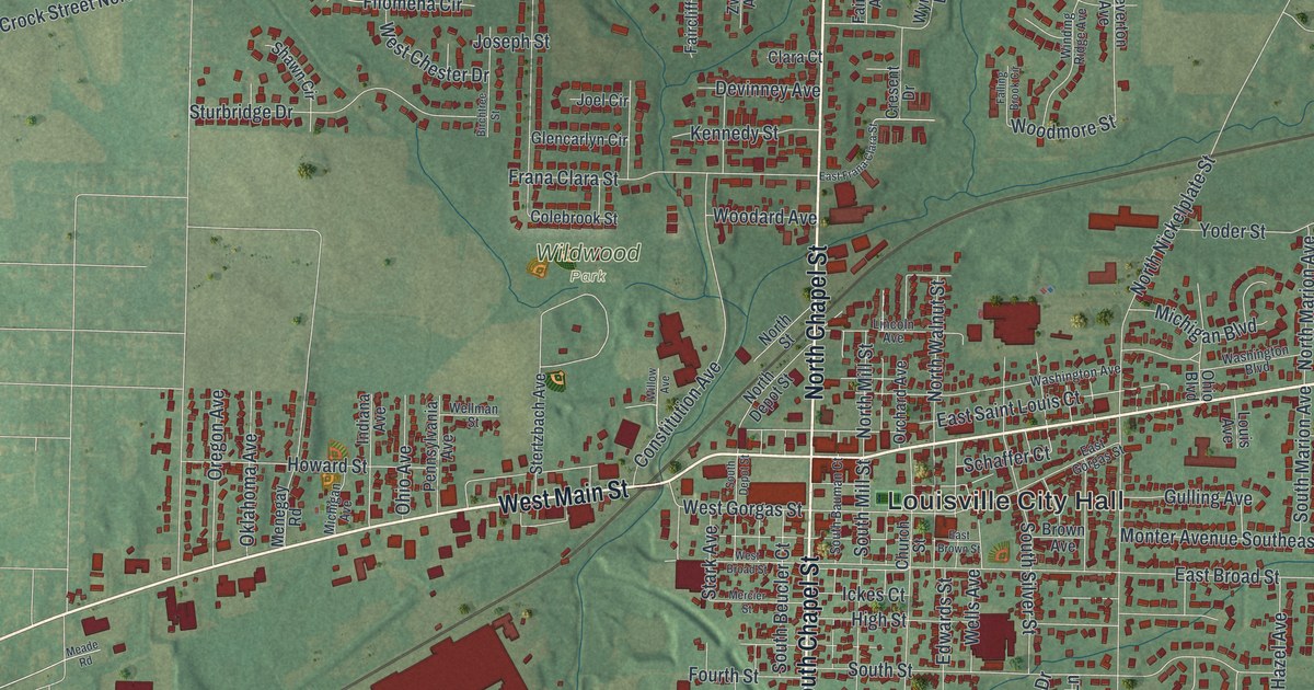
If you call Louisville home, the town known for Constitution Day, you'll know the streets on this print. It's a modern aerial view of Louisville in Stark County, Ohio, built from modern data and given a vintage look. The map shows green rolling hills, rail lines that cross the town on a slant, and a thin blue creek near the lower left. Thousands of small red shapes mark the buildings along East Main Street, West Main Street and the Chapel streets.
East Main Street, Wildwood Park and more
On this map you'll find East Main Street, West Main Street, North Chapel Street, South Chapel Street, Louisville City Hall, Wildwood Park, South Mill Street, East Gorgas Street, East Broad Street, Ravenna Avenue, North Nickelplate Street, Lincoln Avenue, Constitution Avenue, Atlantic Boulevard Northeast, and more. Each red shape is a building, so zoom in on the preview and look for yours.
Louisville's Constitution Day, held every year since 1952
Louisville is known for Constitution Day. On September 17, 1952, a group of Louisville citizens met to honor the day the U.S. Constitution was finished in 1787. Olga T. Weber led them, and Congressman Frank T. Bow joined in. They wanted people to better understand their rights and duties as citizens. Their committee pushed for state and national days. In 1953, Governor Frank Lausche named September 17 Constitution Day in Ohio. In 1955, President Dwight D. Eisenhower named the week of September 17 Constitution Week. The committee has marked the day every year since. That makes it the nation's longest running Constitution Day, the Ohio historical marker says. The marker stands at the northeast corner of South Mill Street and East Gorgas Street. Both streets are printed on the map.
St. Louis Church, at 300 North Chapel Street, has been on the National Register of Historic Places since 1979. North Chapel Street is printed on the map, so you can find the street where the church stands.
Keep Louisville and Wildwood Park close
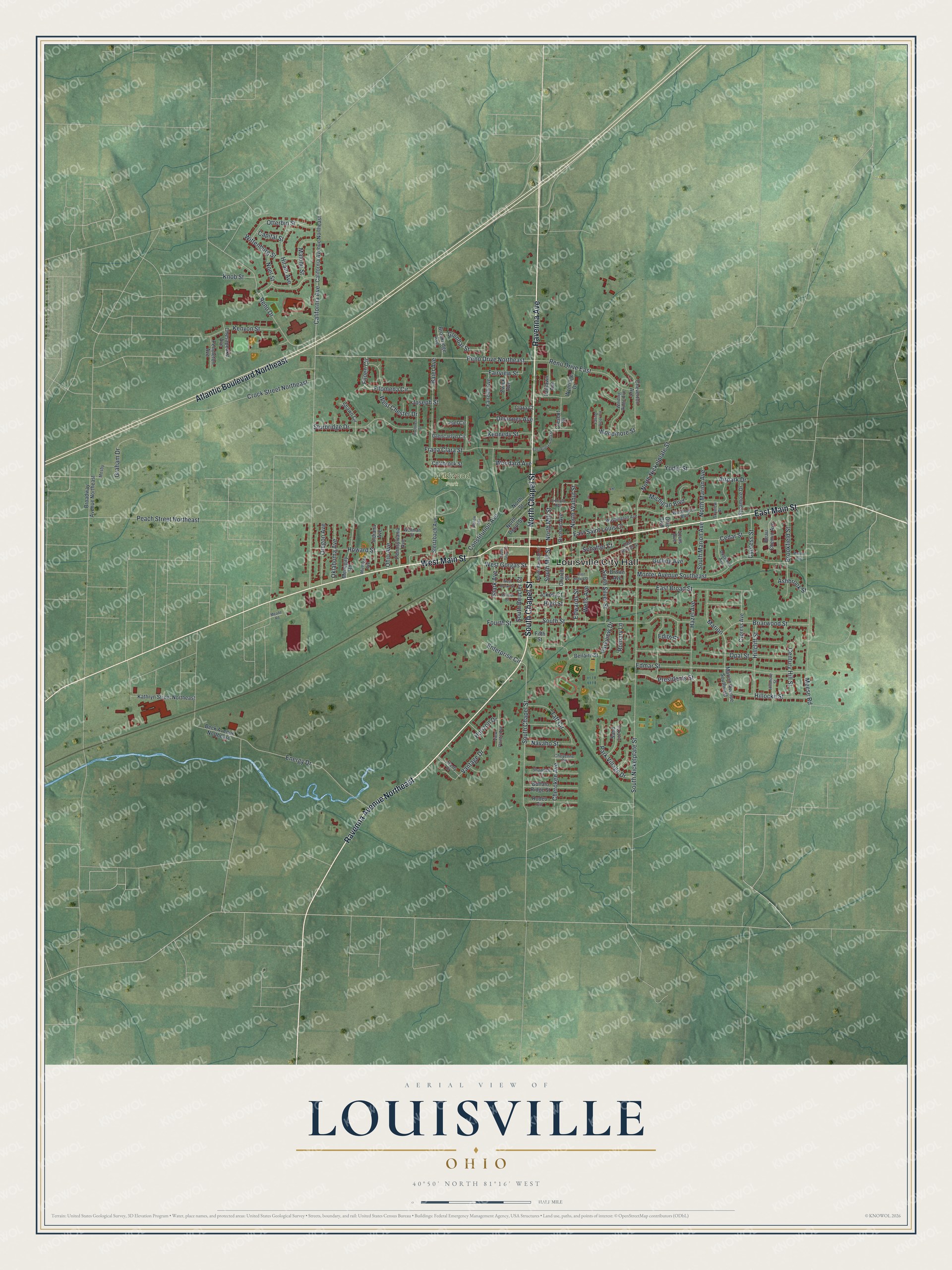
Created by KNOWOL in 2026, the print shows Louisville from above in soft greens, with the hills shaded in and each building in deep red. The title panel at the bottom reads "Aerial View of Louisville, Ohio" with the coordinates 40°50' North 81°16' West.
It fits a living room, a hallway or a home office. It's a good gift for someone from Louisville, or for a friend who moved away and wants East Main Street and Wildwood Park on the wall. Open the preview and find the street you know best. See sizes and frames for the Louisville map.