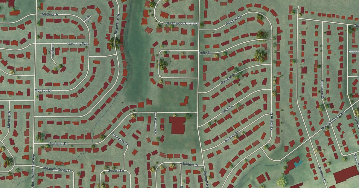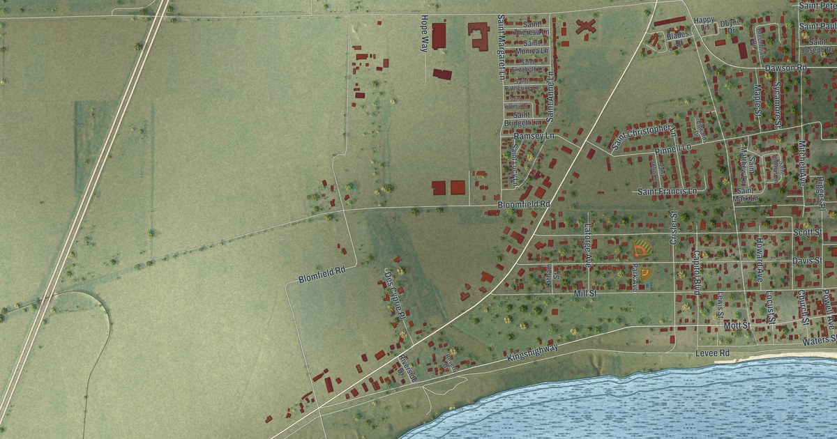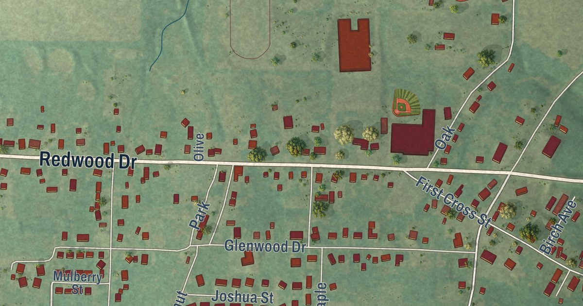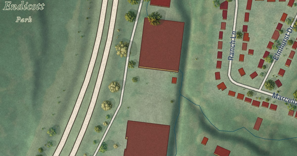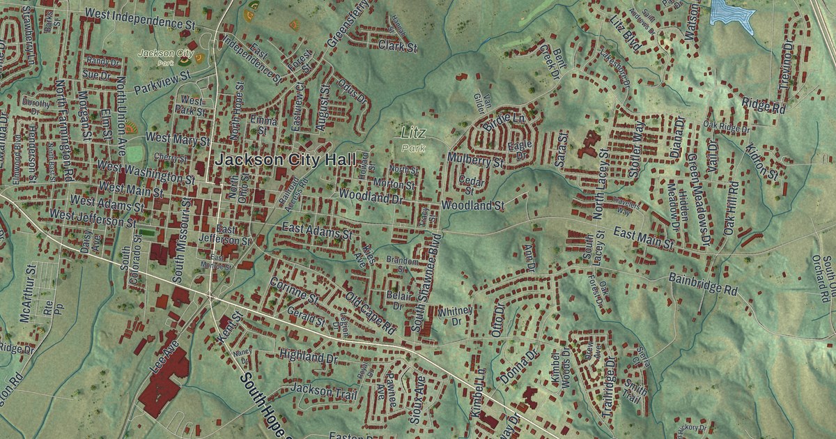
This beautifully detailed map of Jackson, Missouri was created in 2026 using aerial imagery combined with modern topographical, census, street and landmark data. It’s a one-of-a-kind view of Jackson that combines accurate data with a vintage aesthetic. The map shows every building in its true location, many of the roads carry their names, and the shaded topographic relief shows the shape of the land.
Explore an aerial view of Jackson, Missouri
On the map you’ll find Jackson City Hall, Jackson City Park, Klaus Park, and Litz Park, along with East Jackson Boulevard, West Jackson Boulevard, North High Street, South Hope Street, Old Orchard Road, Woodland Drive, Bainbridge Road, West Mary Street, and more. If you look closely you can even find your house accurately drawn in its correct location. Zoom in on the preview to look for yours.
Did you know this piece of Jackson, Missouri history?
From the State Historical Society of Missouri: "Three names were suggested for the town: Ashley, Byrd, and Lorimier, for prominent local men; but since it was established in 1815 just after the Battle of New Orleans, the town was named in honor of Andrew Jackson. It was incorporated in 1819."
Take a closer look at the Jackson map
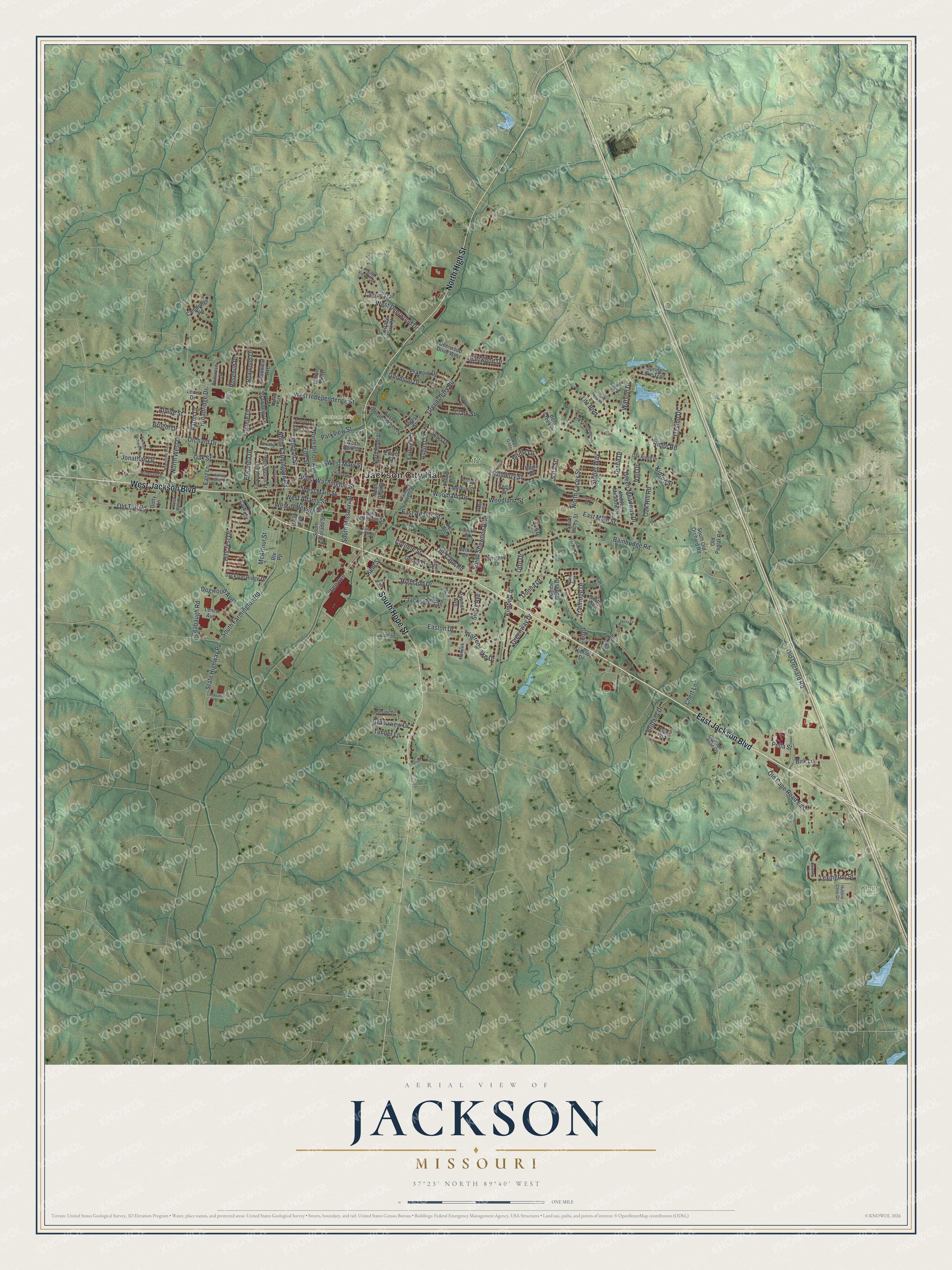
Street and place names on the Jackson, Missouri map
These names are printed on the map of Jackson, Missouri.
Places: Jackson City Hall, Jackson City Park, Klaus Park and Litz Park.
Streets and roads: East Jackson Boulevard, West Jackson Boulevard, North High Street, South Hope Street, Old Orchard Road, Woodland Drive, Bainbridge Road, West Mary Street, West Jefferson Street, Stotler Way, East Main Street, Old Cape Road.
More street names, A to Z
Aaron Drive, Alpine Street, Ann Drive, August Street, Barks Street, Belair Drive, Bent Creek Drive, Birdie Lane, Birk Lane, Boehme Lane, Boxwood Drive, Brandom Street, Bristol Drive, Brittany Drive, Broadridge Drive, Cambridge Road, Canyon Trail, Cathy Drive, Cedar Street, Cherry Street, Chert Lane, Clark Street, Connie Drive, Corinne Street, Coventry Drive, Daisy Avenue, Dana Drive, Deerwood Drive, Deerwood Drive West, Diana Drive, Dogwood Avenue, Donna Drive, Dorothy Drive, Dotty Lane, Drew Avenue, Eagle Drive, East Adams Street, East Independence Street, East Jefferson Street, East Lane, East Monroe Street, Easton Drive, Eastview Court, Elm Street, Elmwood Boulevard, Elwanda Drive, Emma Street, Forest Street, Francis Drive, Gerald Street, Gloria, Goodson Drive, Grandview Drive, Greenleaf Avenue, Green Meadows Drive, Greensferry Road, Greenway Drive, Hannah Street, Henderson Street, Hidden Meadow Drive, Highland Drive, Hillcrest Drive, Hillside Drive, Hilltop Drive, Howard Street, Hubble Cove Drive, Indian Parkway, Industrial Drive, Jackson Ridge Drive, Jackson Trail, Jonathan Drive, June Lane, Kent Street, Kidron Street, Kies Avenue, Kimbel Lane, Kimbel Woods Drive, Lakeshore Drive, Lee Avenue, Legion Drive, Lenco Avenue, Lewis Drive, Lexington Street, Litz Boulevard, McArthur Street, Mohawk Street, Morgan Street, Morton Street, Mulberry Street, Nancy Drive, North Bast Street, North Farmington Road, North Hope Street, North Lacey Street, North Ohio Street, North Street, North Union Avenue, North West Lane, Oak Forest Drive, Oak Hill Road, Oak Ridge Drive, Oak Street, Odus Drive, Old Cape Road Circle, Old Cape Road East, Old Hickory Drive, Old Poplar Road, Old Toll Road, Orchard Drive, Otto Drive, Palmer Drive, Parkview Street, Pawnee Avenue, Pella Street, Pioneer Orchard Road, Prairie View Trail, Primrose Lane, Railroad Access Road, Randy Drive, Ridge Road, Rolling Fields Drive, Rosebud Drive, Route Pp, Royal Drive, Saint Andrews Drive, Sara Street, Seabaugh Road, Sierra Court, Sioux Avenue, Smith Trail, South Colorado Street, South Farmington Road, South Lacey Street, South Missouri Street, South Old Orchard Road, South Shawnee Boulevard, Spring Lake Trail, State Highway Pp, Strawberry Lane, Sue Drive, Terrace Park Place, Timber Lane, Titanium Lane, Tracy Street, Trailridge Drive, Travelers Way, Trevino Drive, Vail Drive, Van Gilder, Warren Lake Drive, Watson Drive, West Adams Street, West Deerwood Drive, West Independence Street, West Main Street, West Park Street, West Vale Drive, West Washington Street, Whetstone Way, Whitney Drive, Winesap Drive, Woodland Street.
See the Jackson, Missouri map on a wall
The Jackson map as an 18 x 24 inch print in a black frame.

This beautifully detailed map of Jackson makes an attractive addition to your office, library, or den, and it can even be used to teach children the geography and history of the area. It also makes a great gift for anyone who grew up in Jackson or moved away. When you’re done exploring, click here to get your copy of the Jackson map.